The best walks and hikes around Touillon-Et-Loutelet
4.5
(1642)
12,217
hikers
340
hikes
Hiking around Touillon-Et-Loutelet offers access to the diverse landscapes of the Jura mountains in the Doubs department. The region features a blend of valleys, ridges, dense forests, and plateaus, with Mont d'Or standing as the highest point at 1,463 meters. Natural features include the glacial Lac de Saint-Point, the Bief Bleu river source, and the Combe du Grand Essart valley. This varied terrain provides a range of hiking experiences.
Best hiking trails around Touillon-Et-Loutelet
- The most popular hiking route is…
Last updated: October 9, 2026
4.6
(80)
348
hikers
16.2km
04:54
540m
540m
Moderate hike. Good fitness required. Easily-accessible paths. Suitable for all skill levels.
4.8
(42)
246
hikers
18.2km
05:59
790m
790m
Hard hike. Very good fitness required. Mostly accessible paths. Sure-footedness required.

4.3
(6)
145
hikers
7.19km
02:27
390m
390m
Moderate hike. Good fitness required. Easily-accessible paths. Suitable for all skill levels.
4.0
(2)
32
hikers
27.6km
08:56
1,050m
1,050m
Hard hike. Very good fitness required. Mostly accessible paths. Sure-footedness required.
4.7
(3)
16
hikers
23.5km
07:23
880m
880m
Hard hike. Very good fitness required. Mostly accessible paths. Sure-footedness required.
Get access to more routes and recommendations from other explorers.
Already have an account?
Our route recommendations are based on thousands of hikes, rides, and runs completed by other people on komoot.
Start today with a free account
Your next adventure awaits.
Tips from the Community

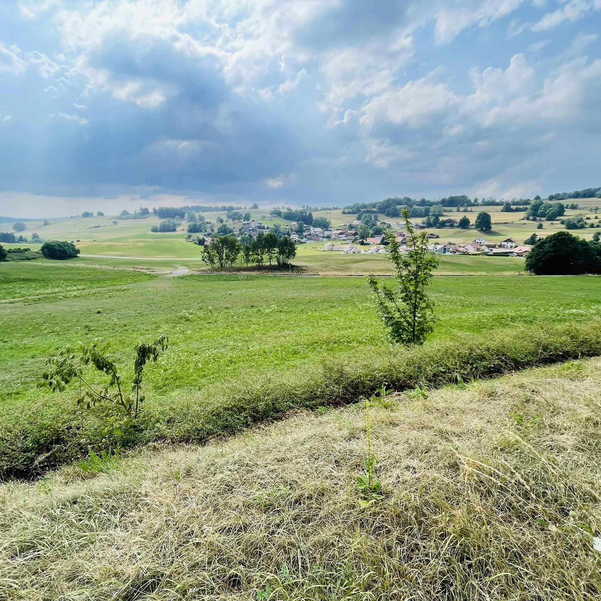
Simply wonderful here!
0
0
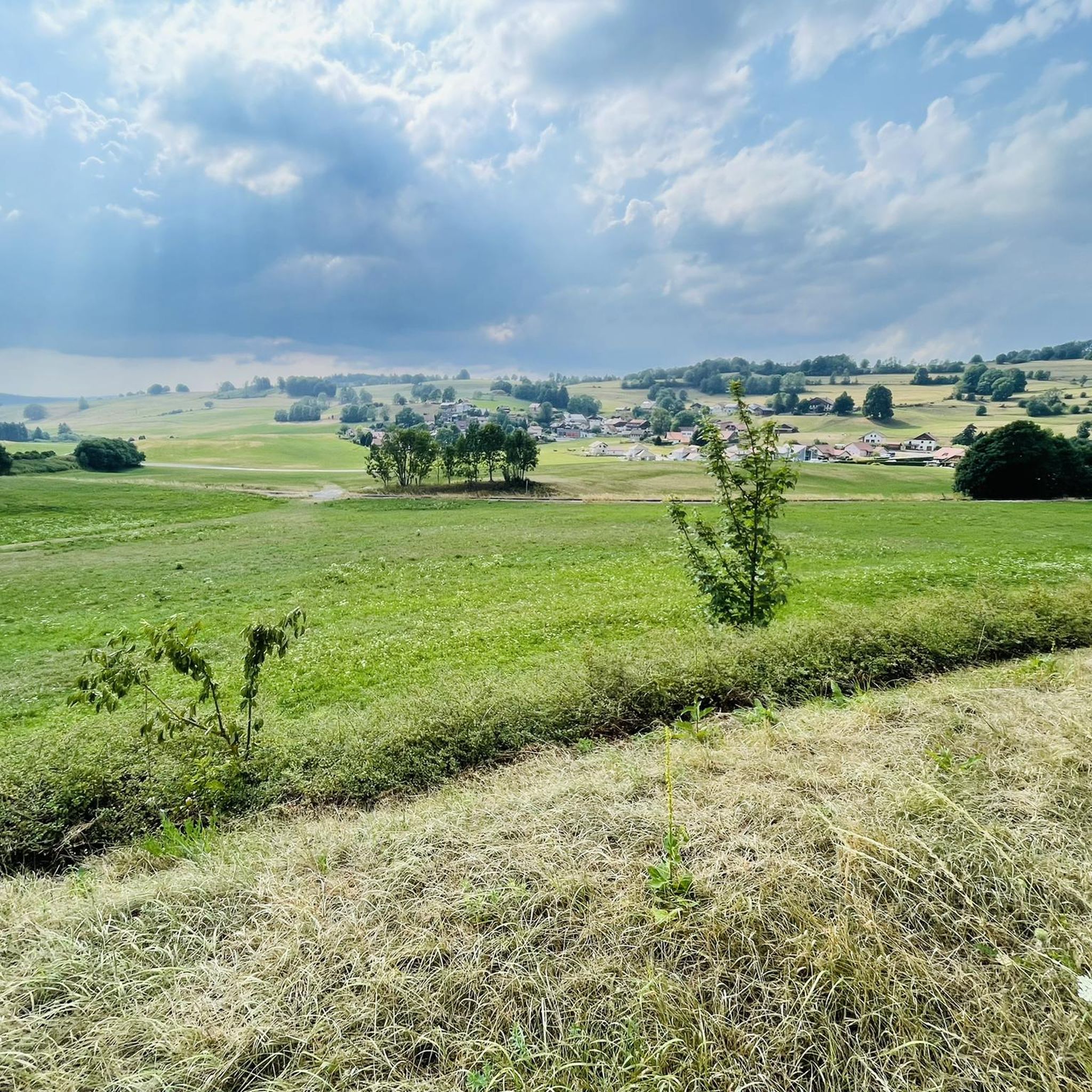
Here you have a magnificent all-round view!
0
0

the route is well marked
0
0

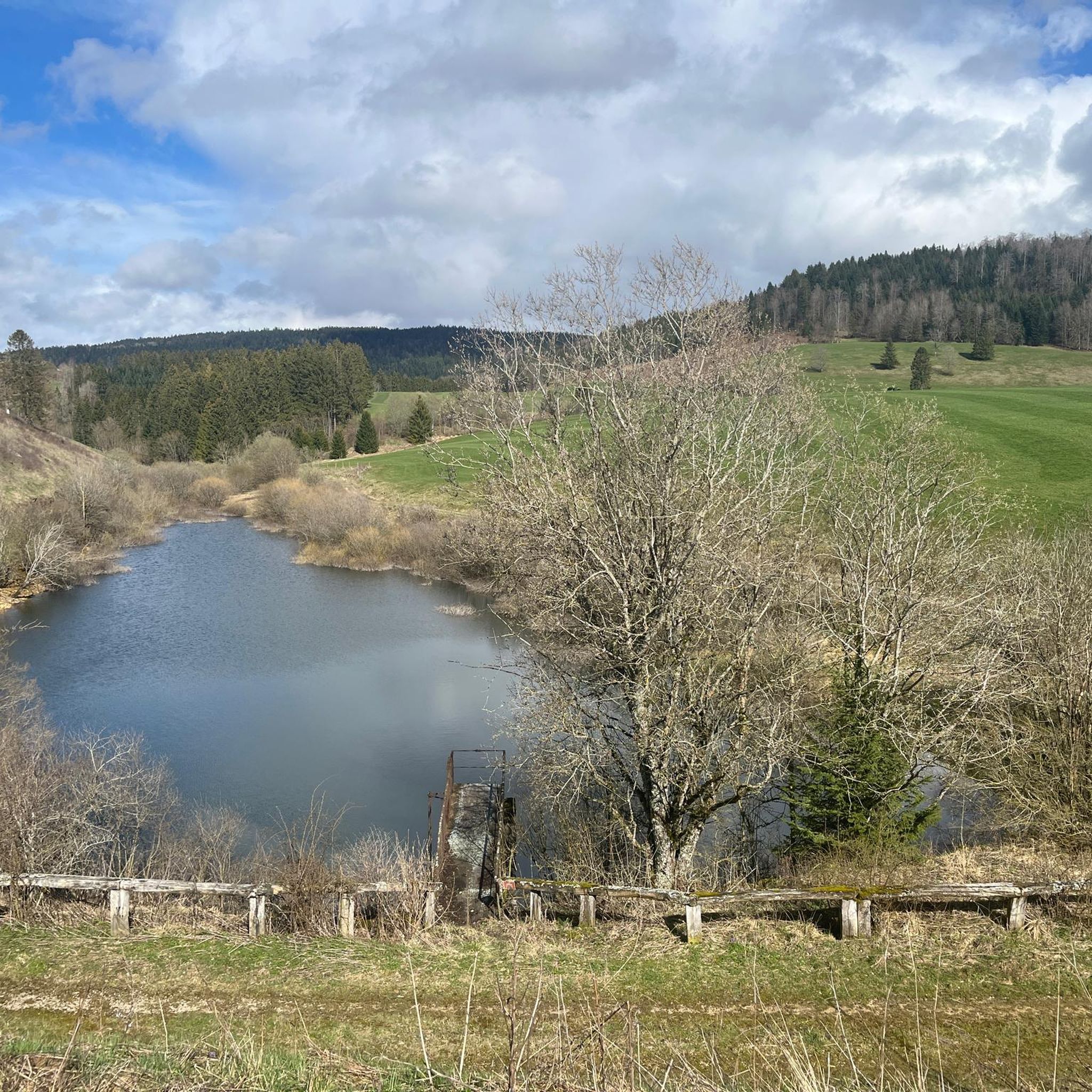
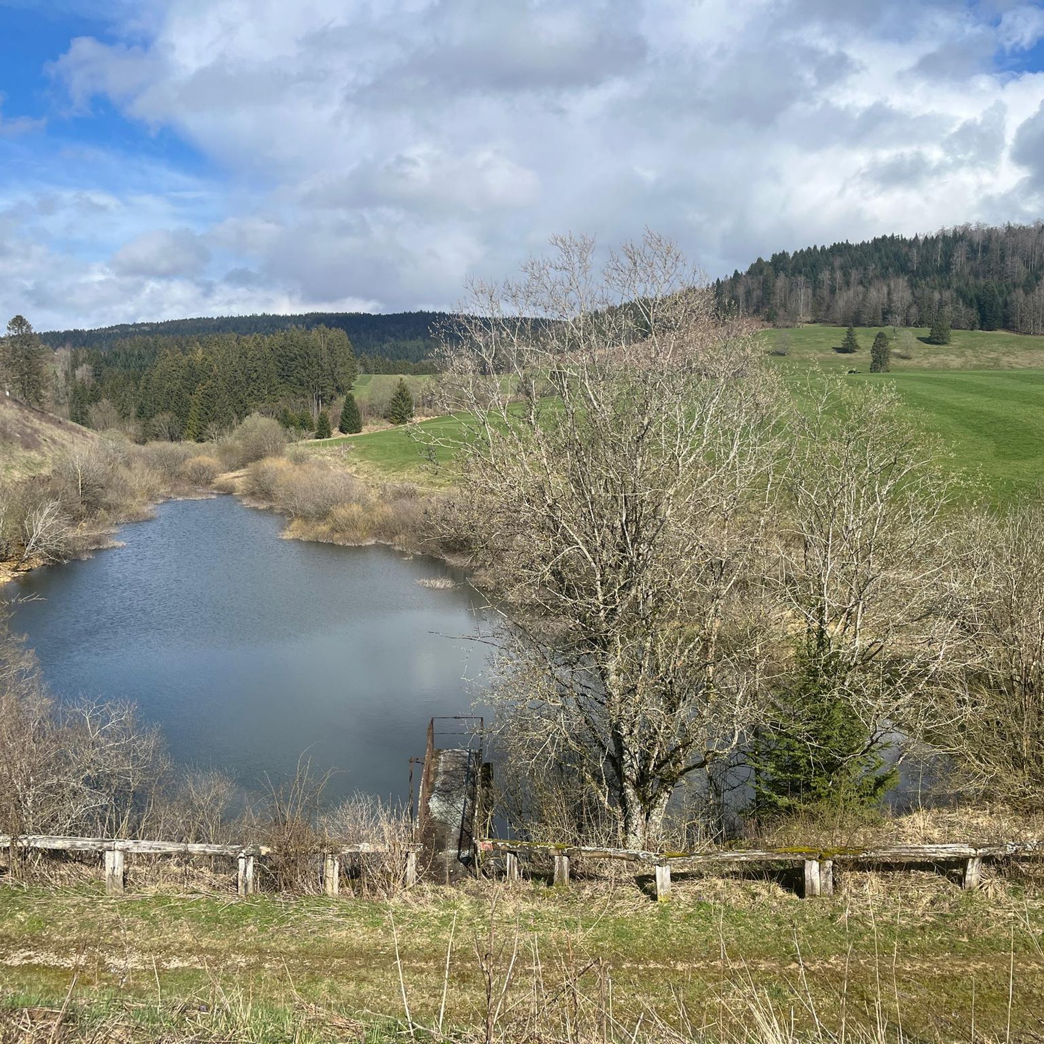
Artificial lake on the plateau at an altitude of 1400m.
2
0
The Mont d'Or is a mountain in the Jura Mountains on the border between France and Switzerland, whose summit is 1463 m in the French department of Doubs, not far from the national border, north of the Swiss town of Vallorbe.
2
0
remember to take your cane a piece, otherwise it's a beautiful one
2
0
Frequently Asked Questions
How many hiking trails are available around Touillon-Et-Loutelet?
There are over 320 hiking routes around Touillon-Et-Loutelet. These trails cater to various skill levels, from easy strolls to challenging mountain ascents, offering diverse experiences across the Jura mountains.
What kind of terrain can I expect on hikes in Touillon-Et-Loutelet?
The terrain around Touillon-Et-Loutelet is highly varied, characteristic of the Jura mountains. You'll encounter a blend of valleys, ridges, dense forests, and high plateaus. Trails can range from gentle paths to routes with significant elevation gain, especially when ascending peaks like Mont d'Or.
Are there any easy or beginner-friendly hikes in the area?
Yes, Touillon-Et-Loutelet offers over 100 easy hiking routes. An example is the Fort Saint-Antoine – Sheltered Picnic Area loop from Touillon-et-Loutelet, which is 3.4 miles (5.5 km) long and takes about 1 hour 31 minutes to complete, featuring minimal elevation changes.
Can I find circular hiking routes around Touillon-Et-Loutelet?
Yes, many of the trails in the region are circular, allowing you to start and end at the same point. Popular circular routes include the Lake Morond – Mont d'Or loop from Métabief and the Fort Saint-Antoine – Sheltered Picnic Area loop from Touillon-et-Loutelet.
What are the best viewpoints or natural landmarks to see while hiking?
The region is rich in stunning natural landmarks and viewpoints. The summit of Mont d'Or offers expansive views of the Suchet massif, Dent de Vaulion, and on clear days, over 300 Alpine peaks including Mont Blanc. Other notable spots include the Two Lakes Viewpoint overlooking Lac de Saint-Point and Lake Remoray, and various belvédères near Fort Saint-Antoine with panoramas of the Swiss Jura.
Are there family-friendly hiking options in Touillon-Et-Loutelet?
Yes, with over 100 easy routes, there are many options suitable for families. The diverse landscape includes gentle forest paths and lakeside strolls, providing enjoyable experiences for all ages. Consider trails around Lac de Saint-Point for picturesque and generally flatter terrain.
Are dogs allowed on the hiking trails around Touillon-Et-Loutelet?
Generally, dogs are welcome on most hiking trails in the Touillon-Et-Loutelet region, especially in the natural outdoor areas of the Jura mountains. However, it's always advisable to keep them on a leash, particularly in nature reserves, near livestock, or in areas with wildlife. Check specific trail regulations if you plan to visit a protected area.
What is the best time of year to go hiking in Touillon-Et-Loutelet?
The best time for hiking in Touillon-Et-Loutelet is typically from spring through autumn (May to October). During these months, the weather is generally mild, and the trails are clear. Summer offers lush greenery, while autumn brings vibrant fall colors. Winter hiking is possible, especially with snowshoes, but requires appropriate gear and awareness of conditions, particularly at higher elevations like Mont d'Or.
Is public transport available to access hiking trails in Touillon-Et-Loutelet?
While Touillon-Et-Loutelet is a smaller commune, public transport options in the wider Doubs department can connect you to nearby towns like Pontarlier, which serve as starting points for many trails. However, for direct access to many trailheads, especially those deeper in the mountains, a car is often the most convenient option.
Where can I park when starting a hike in Touillon-Et-Loutelet?
Parking is generally available at common trailheads and near popular attractions. For example, routes starting from Métabief or near Fort Saint-Antoine usually have designated parking areas. It's recommended to check specific route descriptions on komoot for details on parking availability at your chosen starting point.
What are some notable historical or cultural attractions near the hiking trails?
Beyond the natural beauty, the region offers several historical and cultural sites. The impressive Mont d'Or itself has historical significance. Just 9 km away, the Château de Joux is a clifftop castle with a thousand-year history. The Sentier du Morbier is a thematic walking trail that explores the history of local Morbier cheese, guiding you through charming villages and past the Mont d'Or cheese dairy.
What do other hikers say about the trails in Touillon-Et-Loutelet?
The hiking routes in Touillon-Et-Loutelet are highly rated by the komoot community, with an average score of 4.5 stars from more than 1,200 reviews. Hikers often praise the diverse landscapes, the stunning panoramic views from Mont d'Or, and the well-maintained paths that cater to various difficulty levels.
Are there any challenging hikes for experienced trekkers?
Yes, for experienced trekkers, there are over 30 difficult routes available. Trails like the Mont d'Or – Morond Lake loop from Coni'fer, an 11.2 miles (18.1 km) path, feature significant elevation gain and offer panoramic vistas across the Jura landscape, providing a demanding yet rewarding experience.
Most popular routes around Touillon-Et-Loutelet
Most popular attractions around Touillon-Et-Loutelet

Get inspired with the komoot mobile app


Explore more
Browse the best Hikes in other regions.
