The 10 Most Amazing Peaks around Wattwiller
Best mountain peaks around Wattwiller are situated in the southern Vosges mountains, providing access to notable summits. The region is characterized by its diverse terrain, offering panoramic views and historical sites. These peaks present opportunities for various hiking experiences, from challenging ascents to scenic forest trails. The area combines natural landscapes with significant cultural landmarks.
Best mountain peaks around Wattwiller
- The most popular mountain peaks is Grand Ballon, a summit that is the highest mountain in the Vosges Mountains,…
Last updated: November 6, 2026
Grand Ballon
Highlight • Summit
Translated by Google •
Tip by

Viewpoint at the summit of Vieil Armand
Highlight • Viewpoint
It is of the "Molehill" type, model OD 92-95
in the shape …
Translated by Google •
Tip by

Sign up now to discover places like this
Get recommendations on the best single tracks, peaks, & plenty of other exciting outdoor places.
Hartmannswillerkopf National Monument
Highlight • Monument
Translated by Google •
Tip by

Storkenkopf
Highlight • Summit
Translated by Google •
Tip by

Ascent from Moosch to Grand Ballon
Highlight (Segment) • Climb
Translated by Google •
Tip by

Sign up for free to discover even more peaks around Wattwiller.
Already have an account?
Start today with a free account
Your next adventure awaits.
Other adventures around Wattwiller

Tips from the Community

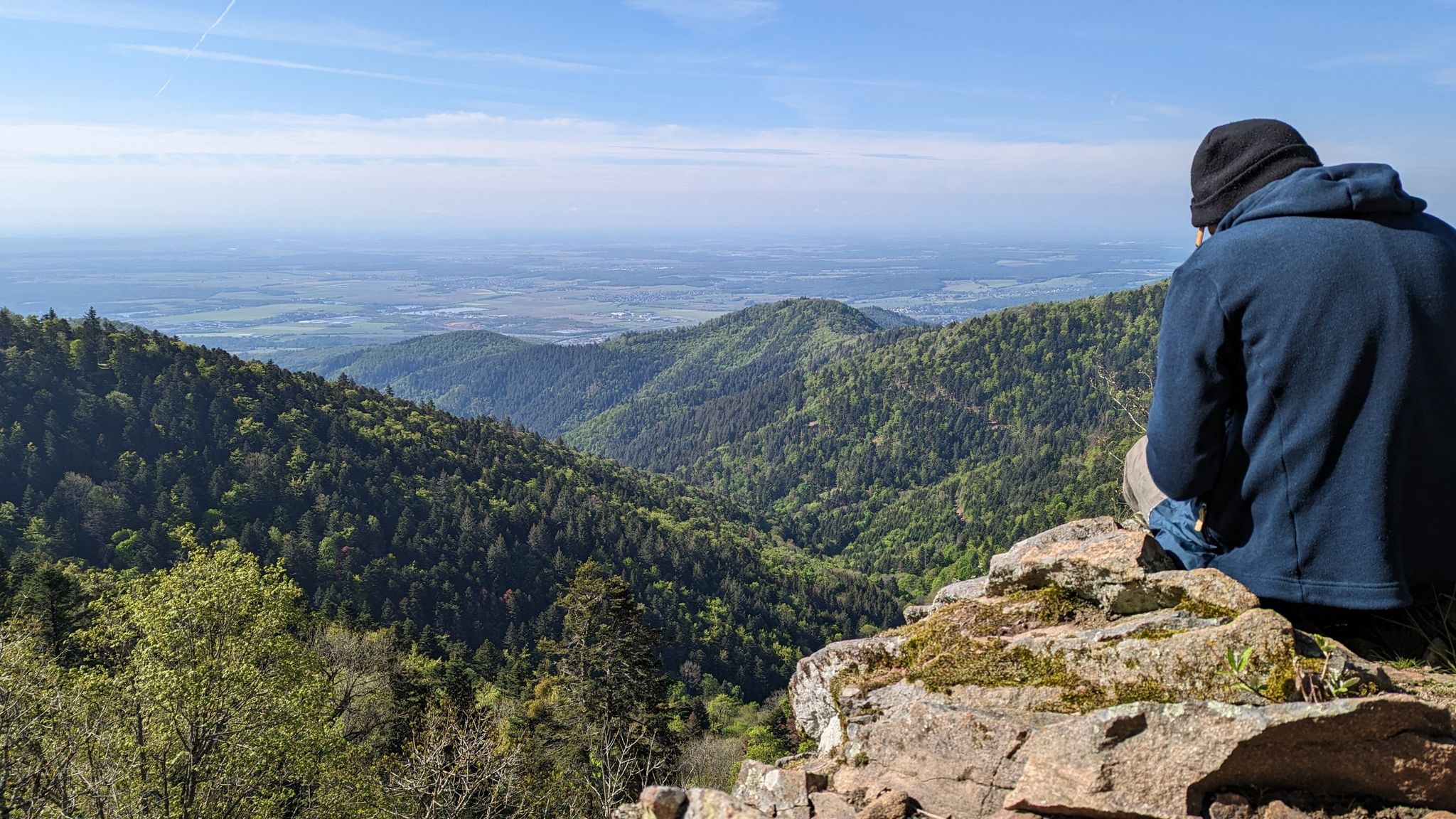
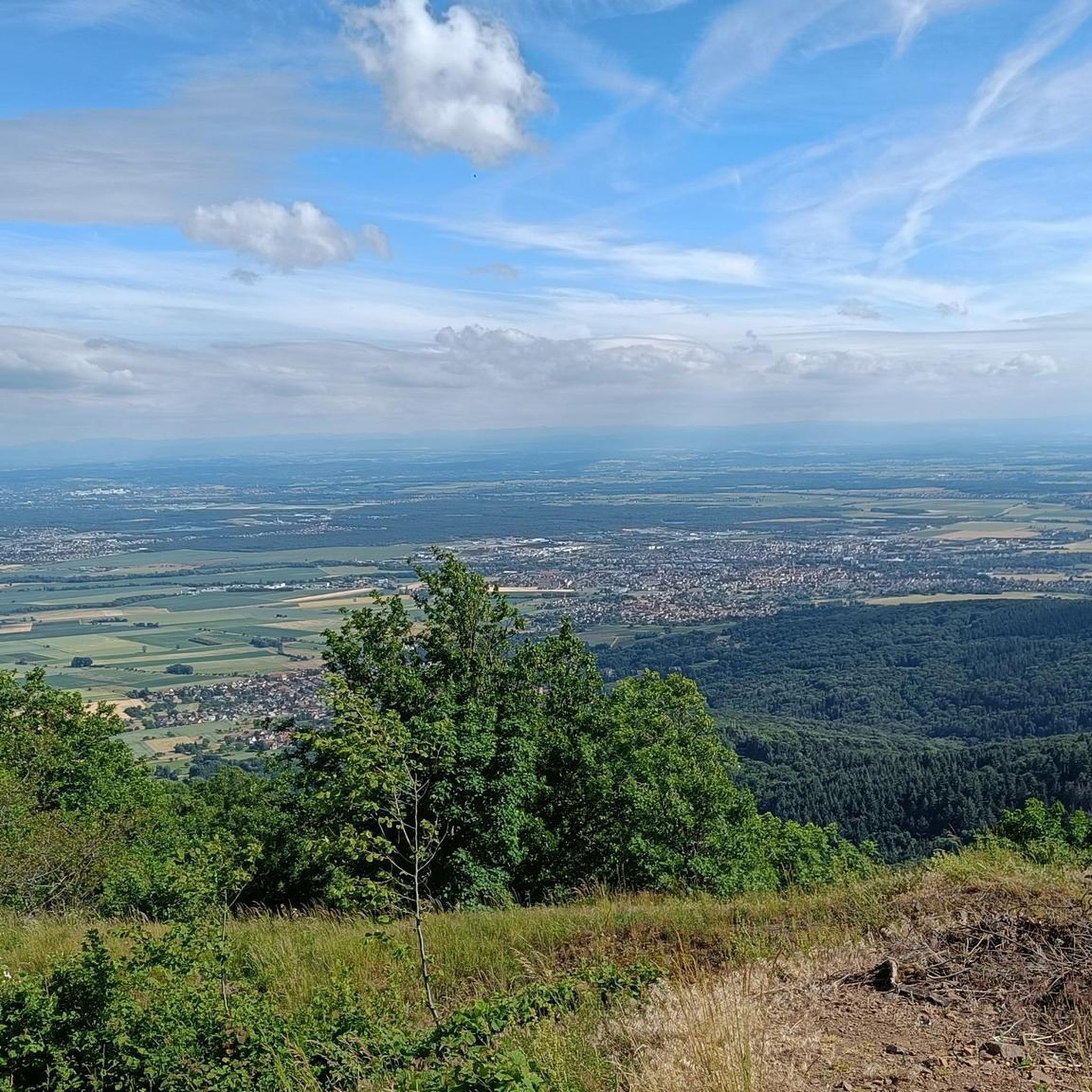
Vieil Armand, also known as Hartmannswillerkopf, is a striking mountain peak in the southern Vosges, near the Col Amic. This place is not only popular with cyclists because of the challenging climb and the panoramic view of the Rhine plain, but also an important historical monument. During the First World War, fierce fighting took place here between French and German troops, resulting in a static trench warfare. Today, the area is a national memorial with a crypt, military cemetery and well-preserved trenches. The climb to Vieil Armand via the Col Amic is not only sportingly rewarding, but also impressive because of the historical significance of the landscape.
6
0

A quiet road up to Geishouse, then a cycle and footpath with fine asphalt and plenty of shade until about 1 kilometer before the Col du Grand Ballon. Praise for the planning and development of this greenway! This is what cycling tourism is all about. A few shorter sections, especially toward the end, have double-digit gradients of up to about 15%. https://www.quaeldich.de/paesse/grand-ballon/
2
0

The climb via Geishouse to the Grand Ballon has been newly paved since summer 2023, making it a truly beautiful alternative to the routes where you have to share the road with motorcycles and sports cars. It's also highly recommended for scenic reasons and, as it's mostly through the forest, is relatively bearable in summer.
2
0

Recommended! The asphalt after Geishouse has recently been completely renewed and is completely car-free from there to Ferme du Haag. However, they have closed the road with a barrier that you cannot go around but only under. So you have to get off and click in again at 8%. Not very convenient and completely dangerous if you descend via that side. Hopefully they will adjust this. The climb is easy to do at the beginning with a very steep section of 10%. After Geishouse on the renewed asphalt it becomes more difficult with a few kilometers around 9%. You get a chance to catch your breath for a while and then finish with sections of 11-12% to Ferme du Haag. The last 2 km to the top of the Grand Ballon are a bit easier again but all in all it makes for a pretty tough climb.
2
0

The second highest mountain in the Vosges. Great view of the Grand Ballon. The two mountains can be easily combined.
0
0

The road from Geishouse is now a greenway reserved for bicycles! Watch out for the barrier at the bottom of Geishouse, especially on the way down!
5
0

A great historic monument.
7
1

New asphalt today on June 7, 2023.
8
0
Frequently Asked Questions
Which mountain peaks around Wattwiller offer the most extensive panoramic views?
For breathtaking panoramic views, the Grand Ballon is highly recommended. As the highest peak in the Vosges, it offers magnificent vistas across the Rhine Valley and, on clear days, even to the Alps. The Hartmannswillerkopf (Vieil Armand) also provides a superb panorama of the Alsace plain, the Vosges Mountains, and the Black Forest.
Which mountain peaks near Wattwiller have historical significance?
The Hartmannswillerkopf (Vieil Armand) is a site of profound historical importance. It was a major World War I battlefield, preserving trenches, shelters, and cemeteries. A national monument, crypt, and necropolis commemorate the soldiers who perished there. You can explore the well-preserved battlefield and learn about the conflict. More information can be found on the Tourisme Thann Cernay website.
What kind of hiking trails can I find near Wattwiller's mountain peaks?
The region offers a variety of hiking experiences. You can find challenging ascents like the route to the Grand Ballon, which is often included in the Tour de France. For less strenuous options, the Storkenkopf is accessible via a charming forest path. The broader Wattwiller area also features trails through sub-Vosgian hills and forests, including routes through the Molkenrain massif and paths with views over vineyards.
Are there challenging mountain climbs around Wattwiller?
Yes, the ascent to the Col du Grand Ballon from Moosch is a challenging route, often featured in the Tour de France. It covers 12.6 km with an average gradient of 7.6% and maximum gradients of 14.5%. This climb is ideal for experienced hikers and cyclists seeking a demanding physical challenge.
Are there easy mountain hikes near Wattwiller?
While some peaks offer challenging ascents, the region also provides easier options. The Storkenkopf, for instance, is accessible via a charming forest path, offering a rewarding mountain experience that is generally less strenuous than directly ascending the Grand Ballon. Additionally, the sub-Vosgian hills and forests around Wattwiller offer numerous moderate walks with beautiful natural scenery.
What outdoor activities, besides hiking, can I do near these mountain peaks?
Beyond hiking, the area around Wattwiller is popular for cycling. You can find various road cycling routes, such as the 'Grand Ballon – Col de Bramont loop from Cernay' or the 'Ascent to Col Amic – Amic Pass loop from Cernay'. There are also touring bicycle routes like the 'Col de Herrenfluh – Vieil Armand Memorial loop from Wattwiller' and gravel biking options, including several 'Grand Ballon' loops. For more details, explore the Road Cycling Routes around Wattwiller, Cycling around Wattwiller, and Gravel biking around Wattwiller guides.
Are there family-friendly mountain walks around Wattwiller?
The region offers options suitable for families, particularly the less strenuous walks through the sub-Vosgian hills and forests. While specific 'family-friendly' categorizations for peaks are not always explicit, trails that are not overly steep or long, such as some paths leading to the Storkenkopf, can be enjoyed by families. The Hartmannswillerkopf also has dedicated trails, including a 30-minute walk to the great cross, which can be suitable for families interested in history.
What is the best time to visit the mountains near Wattwiller?
The best time to visit depends on your preferred activity. For hiking and cycling, spring to autumn (roughly May to October) offers pleasant weather. During these months, the trails are generally clear, and the views are expansive. Winter hiking is possible, but conditions can be challenging, especially on higher peaks like the Grand Ballon, which may have snow and ice.
Where can I find parking or trailheads for the mountain peaks?
Specific parking and trailhead information varies by peak and route. For the Hartmannswillerkopf, there is a museum directly on the parking lot, indicating accessible parking. The Storkenkopf is accessible via a forest path from the Route des Crêtes, suggesting trailheads along this road. For the Grand Ballon, various hiking trails lead to the summit, with routes starting from towns like Moosch or Soultz.
Are there less crowded mountain peaks near Wattwiller?
While the Grand Ballon is very popular, the Storkenkopf offers a slightly less frequented alternative while still providing impressive views of the Grand Ballon. For even quieter experiences, exploring the numerous hiking opportunities through the sub-Vosgian hills and forests, such as the Molkenrain massif, can lead to less crowded trails.
Are the trails around Wattwiller's peaks dog-friendly?
Many natural trails in the Vosges mountains are generally dog-friendly, especially those through forests and less developed areas. However, it's always advisable to keep dogs on a leash, particularly in nature reserves or areas with livestock, and to check local regulations for specific trails or protected sites like the Hartmannswillerkopf, which is a historical monument.
Are there cafes or accommodation near the mountain trails?
While specific cafes directly on every mountain trail are not detailed, the region around Wattwiller and the Vosges mountains generally offers various options. For example, the 'Grand Ballon Farm Inn' is mentioned in some cycling routes, suggesting places for breaks and potentially accommodation. Towns and villages surrounding the peaks will have cafes, restaurants, and accommodation options. It's recommended to check local listings for specific establishments near your chosen trailhead.
Most popular routes around Wattwiller
Most popular attractions around Wattwiller

Get inspired with the komoot mobile app


Explore more
See even more amazing summits around Wattwiller with these guides:
