The best walks and hikes around La Table
4.5
(332)
3,480
hikers
126
hikes
Hiking around La Table offers access to a landscape characterized by mountain passes, alpine lakes, and forested slopes. The region features varied terrain, from moderate ascents to more gentle paths through valleys. Hikers can expect a mix of open views and shaded sections. This area provides a network of trails suitable for exploring the natural environment.
Best hiking trails around La Table
- The most popular hiking route is Frog Lake – Arbarétan Pass loop from Parking de Teppe Verte, a 7.9 miles (12.7 km) moderate trail that takes 4 hours 41 minutes to complete, offering varied terrain and mountain views.
- Another top favourite among local hikers is Frog Lake – Arbarétan Pass loop from Baraque de la Jasse, a moderate 4.5 miles (7.3 km) path winding through alpine meadows and past a lake.
- Local hikers also love the Arbarétan Pass – Frog Lake loop from Col d'Arbarétan, a 4.4 miles (7.1 km) trail leading through mountain passes and forested sections, often completed in about 2 hours 41 minutes.
- Hiking around La Table is defined by mountain passes, alpine lakes, and forested slopes. The network offers options for easy, moderate, and difficult ability levels.
- The routes in La Table are highly rated by the komoot community with an average score of 4.5 stars from over 350 reviews. More than 3500 hikers have used komoot to explore La Table's varied terrain.
Last updated: July 16, 2026
4.8
(12)
116
hikers
16.2km
06:15
880m
880m
Hard hike. Very good fitness required. Mostly accessible paths. Sure-footedness required.
4.2
(9)
90
hikers
7.08km
02:41
350m
350m
Moderate hike. Good fitness required. Mostly accessible paths. Sure-footedness required.

Sign up for free
5.0
(3)
30
hikers
11.9km
05:03
850m
850m
Hard hike. Very good fitness required. Mostly accessible paths. Sure-footedness required.
5.0
(1)
22
hikers
5.54km
01:43
210m
210m
Easy hike. Great for any fitness level. Easily-accessible paths. Suitable for all skill levels.
4.0
(1)
14
hikers
11.1km
03:44
480m
480m
Moderate hike. Good fitness required. Mostly accessible paths. Sure-footedness required.
Get access to more routes and recommendations from other explorers.
Sign up for free
Already have an account?
Our route recommendations are based on thousands of hikes, rides, and runs completed by other people on komoot.
Start today with a free account
Your next adventure awaits.
Login or Signup
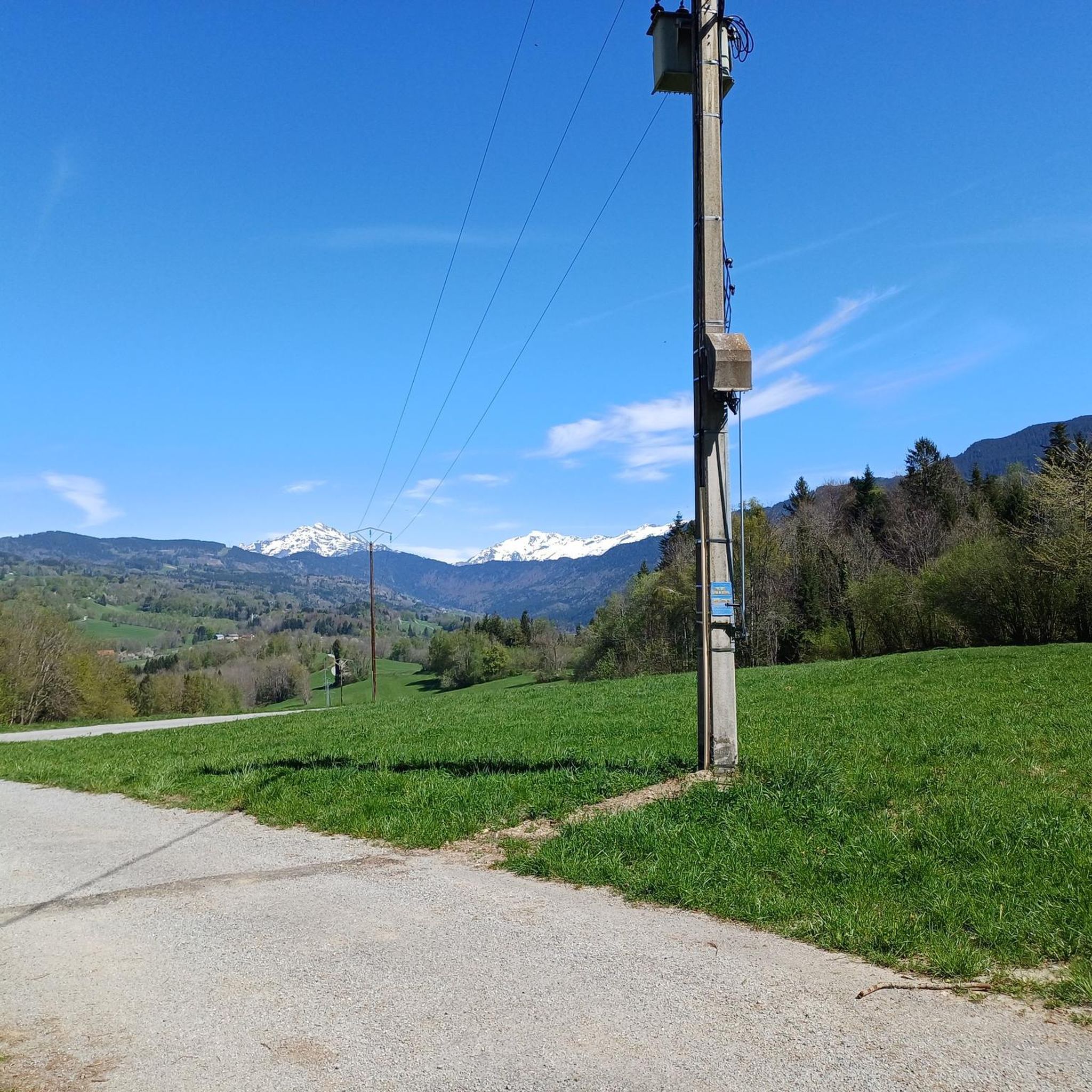
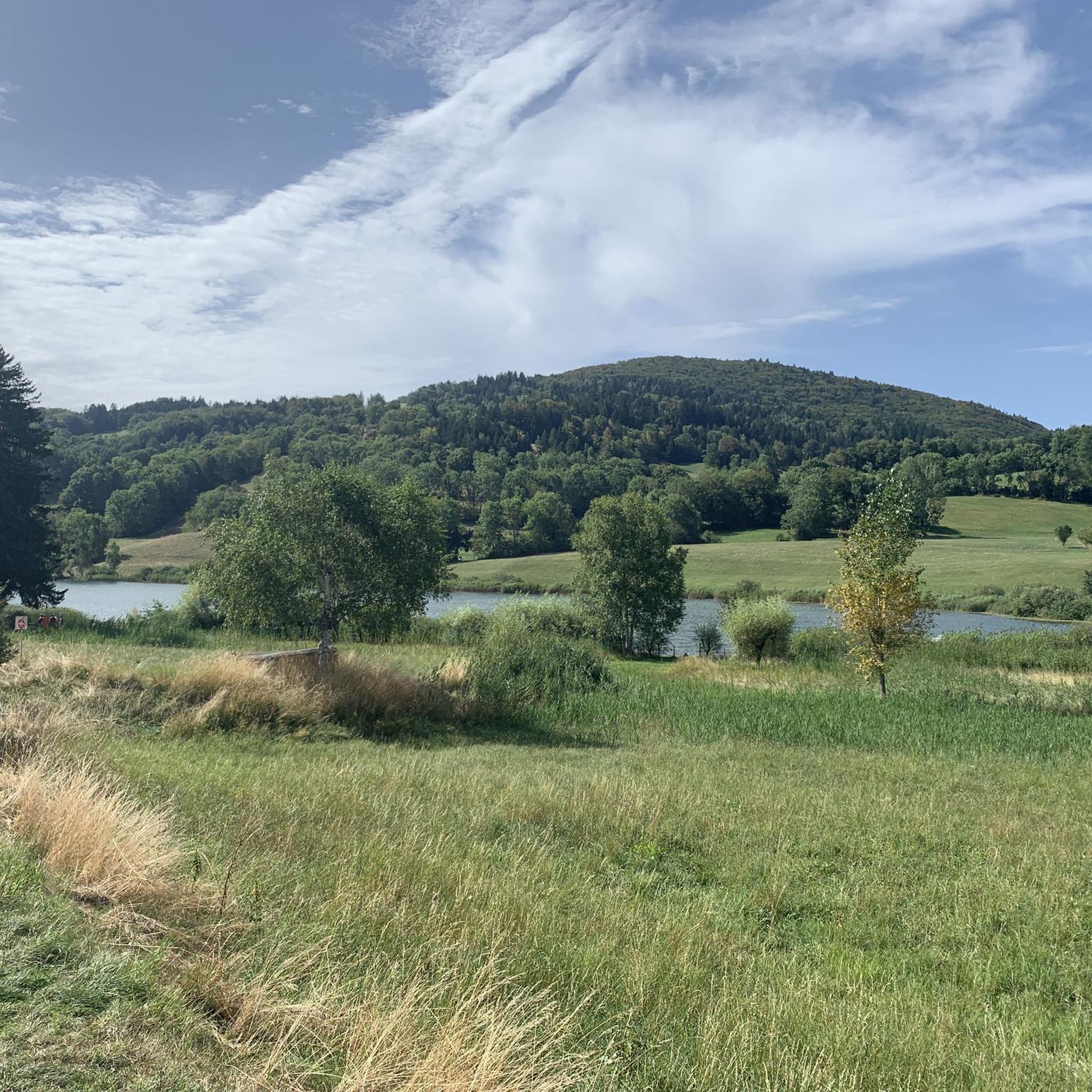

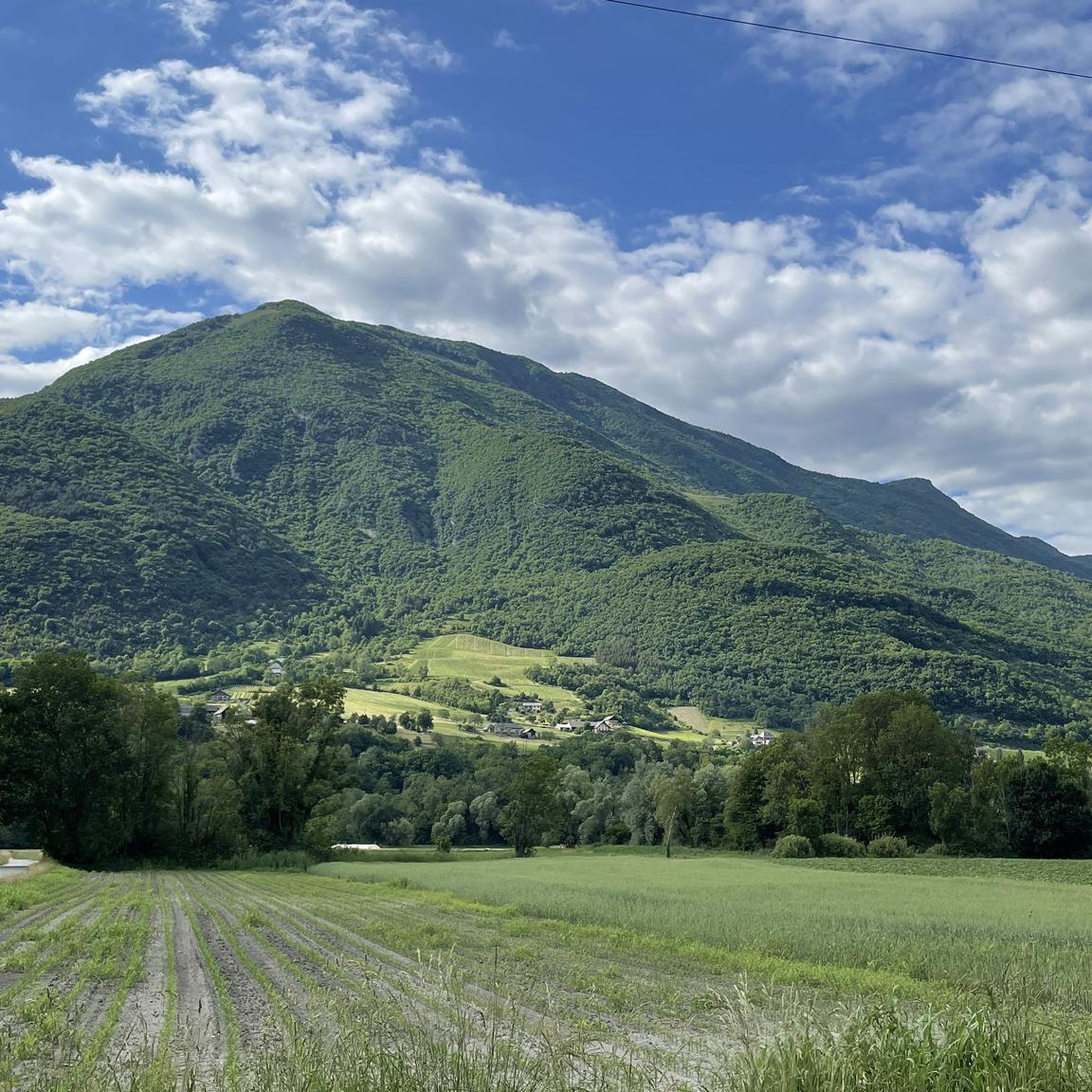


Tips from the Community

just magnificent, keep it secret or almost....
0
0

magnificent view of the snow-capped mountains at the end of May
1
0

Large parts of the tour have very little traffic, so you can enjoy the beautiful nature even more.
1
0

Refuge three well renew
0
0

The Col de Cochette from La Trinité is 2.99 km long with a total drop of 237 m. The average gradient is 7.9% with maximum gradients of 10%. From Villard-d'Héry, it is 1.89 km with an average gradient of 7.8%. There is a total drop of 148m.
2
0

Col la Perche is located at an altitude of 1,986 meters, between Pointe de Rognier (2,341 meters) and Chapotet (2,083 meters).
0
0
It is a superb passage, at an altitude of 1,850 meters. The panorama opens onto the Lauzière chain, Mont Blanc and Pointe de Rognier. A small lake is at the level of the pass, it is the lake of the Frogs.
0
0

Lovely col well away from the busy roads of the valley floor and a great picnic spot when the sun is out and legs are tired!
1
0
Frequently Asked Questions
How many hiking trails are available around La Table?
The La Table region offers a wide selection of hiking opportunities, with over 120 routes documented on komoot. These trails vary in difficulty, ensuring options for all experience levels.
Are there easy hiking trails suitable for beginners in La Table?
Yes, La Table has a good selection of easy trails. Approximately 24 routes are classified as easy. An example is the Col de Champlaurent loop from Champlaurent, which is a shorter, less strenuous option.
Can I find circular hiking routes in the La Table area?
Many of the trails around La Table are designed as loops, allowing you to start and finish at the same point. For instance, the Frog Lake – Arbarétan Pass loop from Parking de Teppe Verte is a popular circular route offering varied terrain and mountain views.
What scenic viewpoints or attractions can I explore while hiking in La Table?
While hiking in La Table, you can encounter several notable points of interest. The region is characterized by mountain passes like Marocaz Pass and Col du Grand Cucheron. You might also come across historical sites such as Fort Montgilbert.
What is the best time of year to hike around La Table?
Given the region's mountain passes and alpine lakes, the best time to hike around La Table is typically from late spring through early autumn. During these months, the weather is generally more stable, and trails are clear of snow, offering optimal conditions for exploring the varied terrain and enjoying the views.
Are there longer or more challenging hikes for experienced hikers?
Yes, for experienced hikers seeking a challenge, La Table offers approximately 22 difficult routes. Many moderate trails also provide significant elevation gain, such as the Arbarétan Pass – Col de la Perche loop from Le Verneil, which features substantial ascents and descents.
What do other hikers appreciate most about the trails in La Table?
The trails in La Table are highly rated by the komoot community, with an average score of 4.5 stars from over 350 reviews. Hikers often praise the region's diverse landscape, including its mountain passes, alpine lakes, and forested slopes, as well as the well-maintained network of trails suitable for various abilities.
Where can I find parking for hiking trails in La Table?
Many trailheads in the La Table area offer designated parking. For example, one popular starting point for a loop around Frog Lake and Arbarétan Pass is from Parking de Teppe Verte. It's advisable to check specific route details for parking information.
Are the hiking trails around La Table dog-friendly?
Generally, many trails in natural areas like La Table are dog-friendly, especially if dogs are kept on a leash. However, it's always recommended to check local regulations or specific trail guidelines, particularly in protected areas or near livestock, to ensure a safe and enjoyable experience for everyone.
What kind of wildlife might I encounter on the trails around La Table?
The varied terrain of La Table, with its forested slopes and alpine meadows, provides habitats for diverse wildlife. Hikers might spot various bird species, small mammals, and potentially larger animals like deer. Maintaining a respectful distance and observing quietly is key to a good wildlife encounter.
Are there less crowded hiking trails in La Table?
While some popular routes can see more foot traffic, La Table's extensive network of over 120 trails means there are many opportunities to find quieter paths. Exploring trails during off-peak hours or choosing less-known routes can lead to a more solitary hiking experience amidst the region's natural beauty.
What is the typical elevation gain on hikes in La Table?
The elevation gain on hikes in La Table varies significantly depending on the trail's difficulty and length. Moderate routes, such as the Arbarétan Pass – Frog Lake loop from Col d'Arbarétan, can involve around 350 meters of ascent, while longer, more challenging trails will feature considerably more.
Most popular routes around La Table
Most popular attractions around La Table

Get inspired with the komoot mobile app


Explore more
Browse the best Hikes in other regions.
