The best running trails around Belfahy
4.3
(39)
2,712
runners
116
runs
Jogging around Belfahy offers varied terrain in the high-altitude Haute-Saône region, part of the Vosges Mountains. The area is characterized by hilly and mountainous landscapes, providing diverse elevation for running. Dense coniferous forests offer shaded routes, while several viewpoints provide panoramic vistas of the surrounding valleys. This environment supports an extensive network of trails suitable for jogging.
Best jogging routes around Belfahy
- The most popular jogging route is Ballon d'Alsace – Ballon d'Alsace loop from Planche des Belles Filles,…
Last updated: October 8, 2026
3.0
(1)
51
runners
17.9km
02:39
1,030m
1,030m
Hard run. Very good fitness required. Mostly paved surfaces. Suitable for all skill levels.
14
runners
14.7km
01:56
580m
580m
Hard run. Very good fitness required. Mostly accessible paths. Some sure footedness required.

14
runners
30.3km
04:25
1,360m
1,360m
Hard run. Very good fitness required. Sure-footedness, sturdy shoes and alpine experience required.
13
runners
18.0km
02:32
800m
800m
Hard run. Very good fitness required. Mostly accessible paths. Some sure footedness required.
11
runners
7.06km
01:20
600m
600m
Hard run. Very good fitness required. Mostly paved surfaces. Suitable for all skill levels.
Get access to more routes and recommendations from other explorers.
Already have an account?
Our route recommendations are based on thousands of hikes, rides, and runs completed by other people on komoot.
Start today with a free account
Your next adventure awaits.
Tips from the Community

This 5.9-kilometer climb from the village of Plancher-les-Mines in Haute-Saône is one of the most difficult in the Vosges. Indeed, cyclists who want to try it will need to be at least somewhat trained. With a gradient of 24% towards the end of the route, it's better to be well-attached. The gradient never seems to ease, with its hairpin bends and, upon reaching the resort, the last 2 kilometers rise like a wall. However, you'll be able to say that you've done it, so come and try the climb of La Planche too!
5
0

At the foot of the site, flows a spring renowned for its therapeutic virtues, treating sore throats and eyes. According to the saying “Water of Saint Blaise, soothes all evil.
0
0

From Plancher-Bas or Plancher-les-Mines, the only difficulty is the Belfahy hill: around 500 m at 10-15%.
0
0

At the top of the summit!
1
0

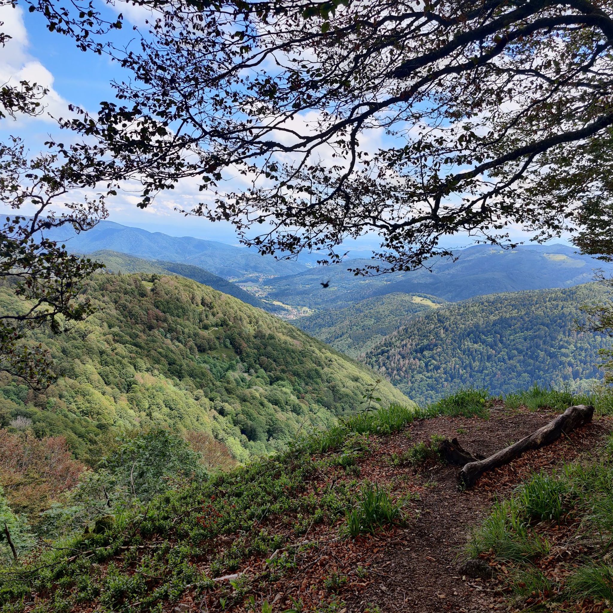
In the middle of coniferous forests is the Saint-Blaise chapel, an isolated site located at an altitude of 900 meters. The panoramas over the valley are breathtaking! Enjoy the tranquility of the place.
3
0

4 star refuge (at least), a supply of wood, the stove seems to be working according to the guest book, plenty of space at the top for sleeping and a spring in front of the refuge. Height: 1017 m https://www.refuges.info/point/2852/cabane-non-gardee/Hautes-Vosges/Refuge-de-la-grande-goutte/
0
0

This is where the climb to the Planche des belles filles begins - to the left we continue towards Ballon de Servance and to the right we go straight up the mountain to the beautiful dead end at the summit.
2
1

This small, unguarded shelter, called the Salley refuge or Luthier's chalet, has everything a hiker could want: shelter at night; an idyllic setting at Ballon de Servance; a magnificent view of the Ballon d'Alsace; a charming little fountain; and even a stele in memory of American soldiers of the Cold War for the historical aspect.
5
0
Frequently Asked Questions
How many running routes are available in Belfahy?
Belfahy offers a wide variety of running experiences, with over 100 routes documented on komoot. These range from shorter, more accessible jogs to challenging long-distance trails through the Vosges Mountains.
What is the general difficulty level of running trails in Belfahy?
The trails around Belfahy cater to various fitness levels. While there are a few easy routes, the majority are moderate (around 29 routes) or difficult (over 60 routes), featuring significant elevation changes characteristic of the high-altitude Vosges region. For a challenging run, consider the Belle christelle loop from Plancher-les-Mines, which covers nearly 28 km with substantial elevation gain.
What do other runners enjoy most about the trails in Belfahy?
The running trails in Belfahy are highly regarded by the komoot community, boasting an average rating of 4.3 out of 5 stars from over 20 reviews. Runners frequently praise the stunning panoramic views, the serene atmosphere of the dense coniferous forests, and the well-marked paths that allow for immersive nature experiences.
When is the best time of year to go jogging in Belfahy?
Belfahy offers unique running conditions throughout the year. Spring and autumn provide pleasant temperatures and vibrant scenery, with the changing leaves in fall being particularly beautiful. Summer is ideal for shaded forest runs, while winter can transform the landscape into a snowy wonderland, suitable for those equipped for cold-weather trail running. Always check local conditions before heading out.
Are there running routes with panoramic views in Belfahy?
Absolutely! As the highest commune in Haute-Saône, Belfahy is renowned for its breathtaking vistas. Many trails lead to viewpoints like 'la Vierge' or the summit of Roches du Château, offering sweeping panoramas of the valleys and, on clear days, even the Swiss Alps. The Shelter With Panoramic View is a highlight you might encounter on some routes.
Can I find trails that pass by water features or waterfalls?
Yes, the region around Belfahy features beautiful water elements. The 'cascade de la Goutte des Saules' near Plancher-les-Mines is a notable waterfall accessible via walking paths. Additionally, the nearby 'plateau des Mille Étangs' offers a unique landscape with hundreds of ponds. You might also encounter highlights like Étang de la Peau or Étang de la Mer on your runs.
Are there any circular running routes in Belfahy?
Yes, many of the running routes in Belfahy are designed as loops, allowing you to start and finish at the same point. Examples include the Ballon d'Alsace loop from Planche des Belles Filles or the Étang des Hauts Champs loop from Servance-Miellin, which offers a moderate 11 km run.
Are the running trails in Belfahy dog-friendly?
Many trails in Belfahy are suitable for running with dogs, especially those through the extensive forests. However, as the area includes a biological reserve home to diverse wildlife like the Grand Tétras, it's crucial to keep dogs on a leash and stay on marked trails to protect the fragile ecosystem. Always check specific route details for any restrictions.
What kind of natural environment can I expect on the running trails?
Belfahy's running trails immerse you in a rich natural environment. You'll primarily experience dense coniferous forests, part of the Vosges Mountains, offering shaded paths and a serene atmosphere. The region is also known for its unique 'labradorite de Belfahy' volcanic rock and is part of a biological reserve, emphasizing untouched nature and diverse flora and fauna.
Are there easy or beginner-friendly jogging options in Belfahy?
While Belfahy is known for its challenging terrain, there are a few easier routes available, particularly for beginners or those looking for a less strenuous run. These routes typically have less elevation gain and cover shorter distances, allowing you to enjoy the natural beauty without extreme effort. Look for routes marked as 'easy' on komoot.
Are there long-distance running trails for more experienced runners?
Experienced runners will find plenty of challenging, long-distance trails in Belfahy. With over 60 difficult routes, you can push your limits on extended runs with significant elevation changes. The Chapelle Saint-Blaise – Chevrères Pass loop from Plancher-les-Mines, for example, is a difficult 18 km route with over 800 meters of ascent, perfect for a demanding workout.
Most popular attractions around Belfahy

Get inspired with the komoot mobile app


Explore more
Browse the best Running Trails & Routes in other regions.
