The best walks and hikes around Belfahy
4.4
(2209)
12,361
hikers
271
hikes
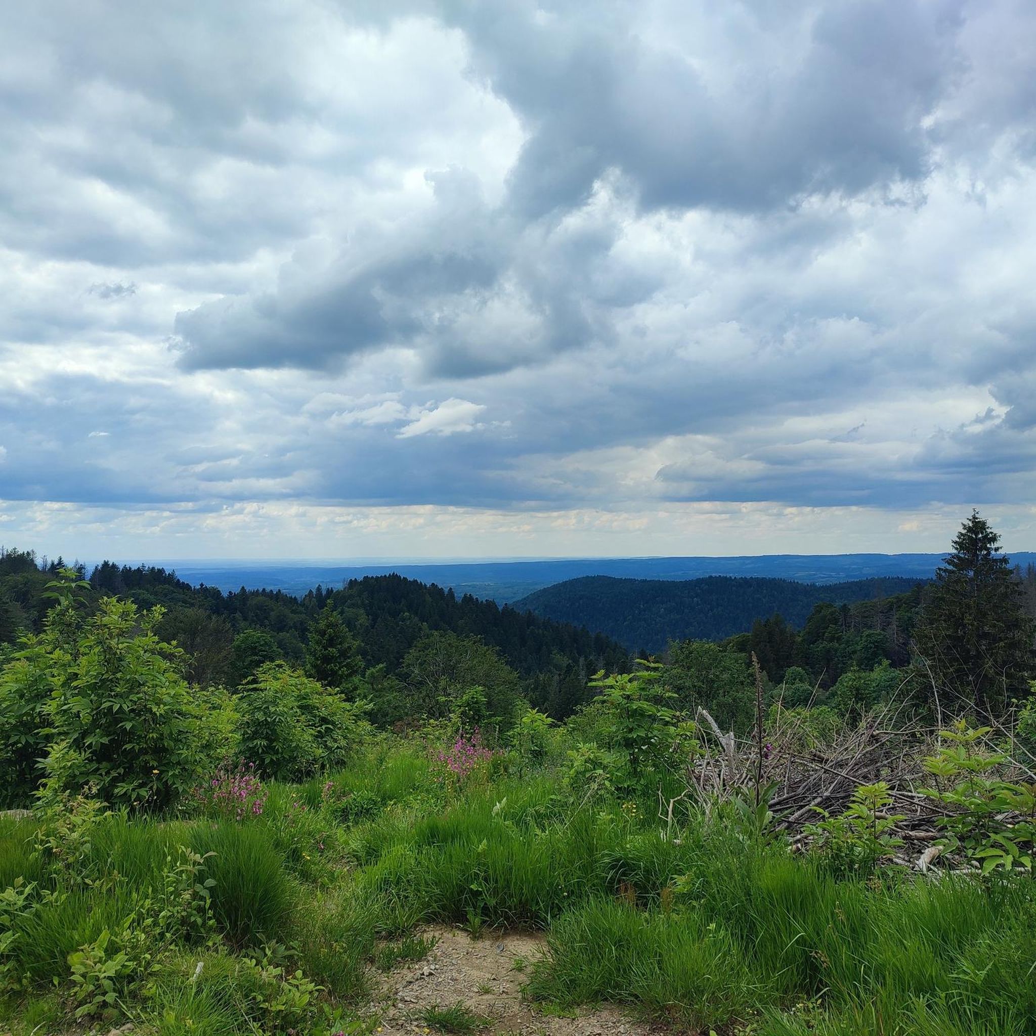
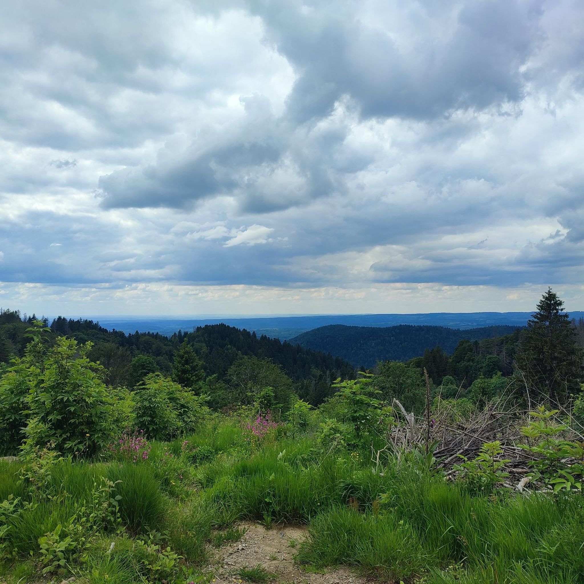
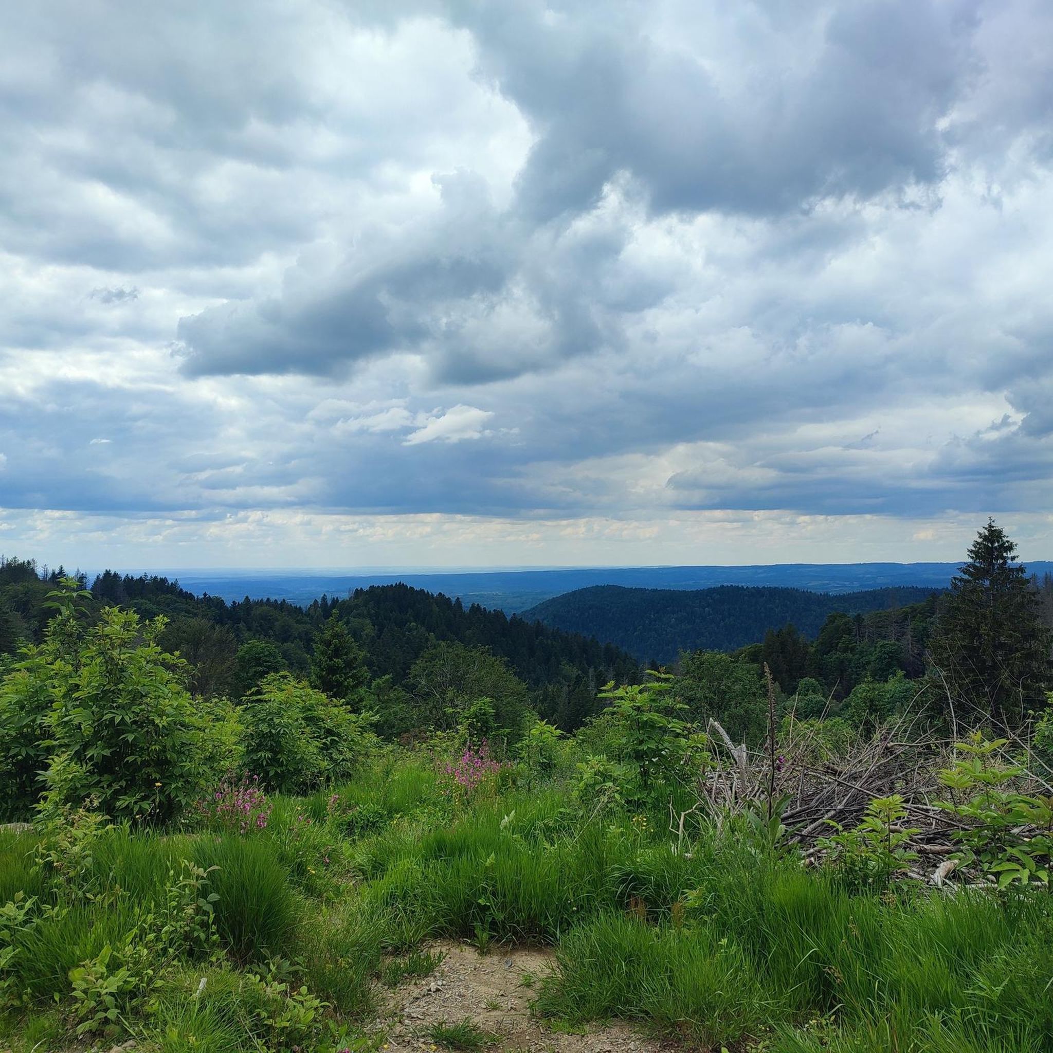
Hiking around Belfahy offers diverse landscapes within the Ballons des Vosges Regional Nature Park. The region is characterized by extensive coniferous and beech forests, providing numerous marked hiking trails through the Ognon and Rahin valleys. Situated at an average altitude of 850 meters, with points reaching 936 meters, Belfahy provides panoramic views of the Rahin Valley and the "Mille Étangs" region. The area also features the Saut de l'Ognon waterfall and is known for wild blueberry bushes.
Best hiking trails…
Last updated: October 25, 2026
4.5
(6)
63
hikers
9.88km
03:07
400m
400m
Moderate hike. Good fitness required. Easily walkable paths.
4.5
(16)
99
hikers
7.90km
02:20
230m
230m
Moderate hike. Good fitness required. Easily walkable paths.

4.0
(1)
39
hikers
18.0km
05:57
830m
830m
Hard hike. Very good fitness required. Easily walkable paths.
4.5
(2)
17
hikers
Hard hike. Very good fitness required. Easily walkable paths.
4.0
(3)
23
hikers
8.38km
02:41
340m
340m
Moderate hike. Good fitness required. Easily walkable paths.
Get access to more routes and recommendations from other explorers.
Already have an account?
Our route recommendations are based on thousands of hikes, rides, and runs completed by other people on komoot.
Start today with a free account
Your next adventure awaits.

Tips from the Community

The end of the climb is somewhat disappointing. There is nothing marked. No photo opportunity. You have a small parking lot, a closed military road, and a picnic spot well hidden under the trees. At the two yellow signs (mainly for hikers) there is the only indication that you are at the Ballon de Servance and at 1158 m. The climb is "cozy". No cars, completely shaded, a few kilometer markers.
7
0


refuge on the territory of Saint-Maurice-Sur-Moselle, unguarded, with stove and place for overnight stay. Is above on the Ballon de Servance
0
0


At the foot of the site, flows a spring renowned for its therapeutic virtues, treating sore throats and eyes. According to the saying “Water of Saint Blaise, soothes all evil.
0
0

From Plancher-Bas or Plancher-les-Mines, the only difficulty is the Belfahy hill: around 500 m at 10-15%.
0
0

This part follows an easy forest track, but which can be quite muddy in bad weather. Among the trees, you sometimes have open sections which offer magnificent views of the surroundings.
0
0
Miellin is a small village which seduces with its picturesque landscape and its tranquil setting, typical of French rural areas. Embark on one of the surrounding hikes for an escapist break.
0
0
Frequently Asked Questions
How many hiking trails are available around Belfahy?
Belfahy offers a wide range of hiking experiences with over 240 routes. These trails cater to various skill levels, including over 70 easy paths, more than 150 moderate options, and around 25 difficult ascents, all winding through the diverse landscapes of the Ballons des Vosges Regional Nature Park.
What kind of natural features can I expect to see while hiking in Belfahy?
Hikers in Belfahy will encounter extensive coniferous and beech forests, offering scenic routes through the Ognon and Rahin valleys. The region is known for its high-altitude viewpoints, providing panoramic vistas of the Rahin Valley and the unique “Mille Étangs” (Thousand Ponds) region. You might also spot wild blueberry bushes, especially in the undergrowth, and the area is home to a biological reserve where rare capercaillies reside.
Are there any waterfalls or significant water features to visit?
Yes, a notable water feature is the Saut de l'Ognon, a 13-meter high waterfall. It's easily accessible via a short, informational trail, making it a great spot to visit during your hike.
What do other hikers enjoy most about the trails in Belfahy?
The hiking trails in Belfahy are highly rated by the komoot community, with an average score of 4.5 stars from over 1600 reviews. Hikers frequently praise the diverse terrain, the extensive coniferous forests, and the breathtaking high-altitude viewpoints that offer panoramic views of the surrounding valleys and the "Mille Étangs" region.
Are there any circular hiking routes in Belfahy?
Yes, many routes in Belfahy are circular, allowing you to start and end at the same point. For example, the Chevrères Pass loop from Belfahy is a moderate 7.9 km circular path offering great views. Another option is the Chevrères Pass – Chapelle Saint-Blaise loop from Belfahy, which is 8.8 km and takes you through coniferous forests with valley vistas.
Can I bring my dog on the hiking trails in Belfahy?
Generally, dogs are welcome on many hiking trails in Belfahy, especially those through the extensive forests. However, it's always recommended to keep them on a leash, particularly in areas within the Ballons des Vosges Regional Nature Park, to protect local wildlife and ensure a pleasant experience for all hikers. Specific regulations might apply in certain protected areas like the biological reserve.
Are there any historical or cultural landmarks along the trails?
Yes, hikers might encounter historical markers such as a royal boundary stone from 1730 near the Col des Chevrères. The Saint-Blaise Chapel, known for its spring, is also a significant point of interest accessible via a moderate 11 km trail.
What are some notable viewpoints in the Belfahy area?
Belfahy, situated at an average altitude of 850 meters, offers several breathtaking viewpoints. From spots like the orientation table at Les Roches, you can enjoy panoramic vistas of the Rahin Valley, the "Mille Étangs" region, and on clear days, even the distant Alps. Many trails, such as those around Chevrères Pass, provide excellent opportunities for scenic overlooks.
Are there options for more challenging hikes in Belfahy?
Yes, for those seeking a greater challenge, Belfahy offers around 25 difficult routes. An example is the Viewpoint – Grotte saint-antoine loop from Plancher-les-Mines, a 16.4 km trail with significant elevation gain. Another demanding option is the Ballon de Servance – Saint-Antoine fir loop from Réserve naturelle des Ballons Comtois, which spans over 24 km.
Is public transport available to reach hiking trailheads in Belfahy?
While specific public transport routes directly to all trailheads might be limited, Belfahy is nestled within the Ballons des Vosges Regional Nature Park. It's advisable to check local bus schedules or regional transport options that serve the commune or nearby villages. Many hikers prefer to arrive by car, as parking is generally available near popular starting points.
Are there any places to stay or eat near the hiking trails?
Belfahy offers unique accommodation options like the "Cabanes de Belfahy," luxury treehouses located on former ski slopes, providing an immersive nature experience. For dining, you might find local inns or small eateries in Belfahy or nearby villages, offering regional specialties. It's always a good idea to check availability and opening hours in advance, especially during off-peak seasons.
What is the best time of year to go hiking in Belfahy?
Belfahy offers distinct experiences throughout the year. Spring and autumn provide pleasant temperatures and vibrant foliage, ideal for forest walks. Summer is excellent for enjoying the high-altitude views and wild blueberries. In winter, the trails transform into a snowy landscape, perfect for snowshoeing, with nearby ski resorts like La Planche des Belles Filles also accessible.
Most popular attractions around Belfahy

Get inspired with the komoot mobile app


Explore more
Browse the best Hikes in other regions.
