The best walks and hikes around Saint-Cirgues-De-Jordanne
4.5
(1274)
11,105
hikers
261
hikes
Hiking around Saint-Cirgues-De-Jordanne offers access to a diverse natural landscape within the Cantal department of the Auvergne-Rhône-Alpes region. The area is defined by its volcanic topography, including deep gorges carved by rivers and expansive valleys. Hikers can explore varied terrains, from dense forests to high-altitude pastures, all set within the Regional Natural Park of the Volcanoes of Auvergne. This region provides a range of trails amidst its dramatic geological features.
Best hiking trails in Saint-Cirgues-De-Jordanne
- The most popular hiking route…
Last updated: May 12, 2026
4.5
(8)
51
hikers
16.6km
05:21
700m
700m
Hard hike. Very good fitness required. Mostly accessible paths. Sure-footedness required.
5.0
(5)
110
hikers
19.2km
07:02
950m
950m
Hard hike. Very good fitness required. Sure-footedness, sturdy shoes and alpine experience required.

Sign up for free
4.9
(7)
71
hikers
10.7km
03:49
460m
460m
Moderate hike. Good fitness required. Mostly accessible paths. Sure-footedness required.
4.8
(4)
12
hikers
13.4km
04:58
680m
680m
Hard hike. Good fitness required. Sure-footedness, sturdy shoes and alpine experience required.
4.0
(2)
19
hikers
22.9km
08:48
1,100m
1,100m
Hard hike. Very good fitness required. Sure-footedness, sturdy shoes and alpine experience required.
Get access to more routes and recommendations from other explorers.
Sign up for free
Already have an account?
Our route recommendations are based on thousands of hikes, rides, and runs completed by other people on komoot.
Start today with a free account
Your next adventure awaits.
Login or Signup

Tips from the Community


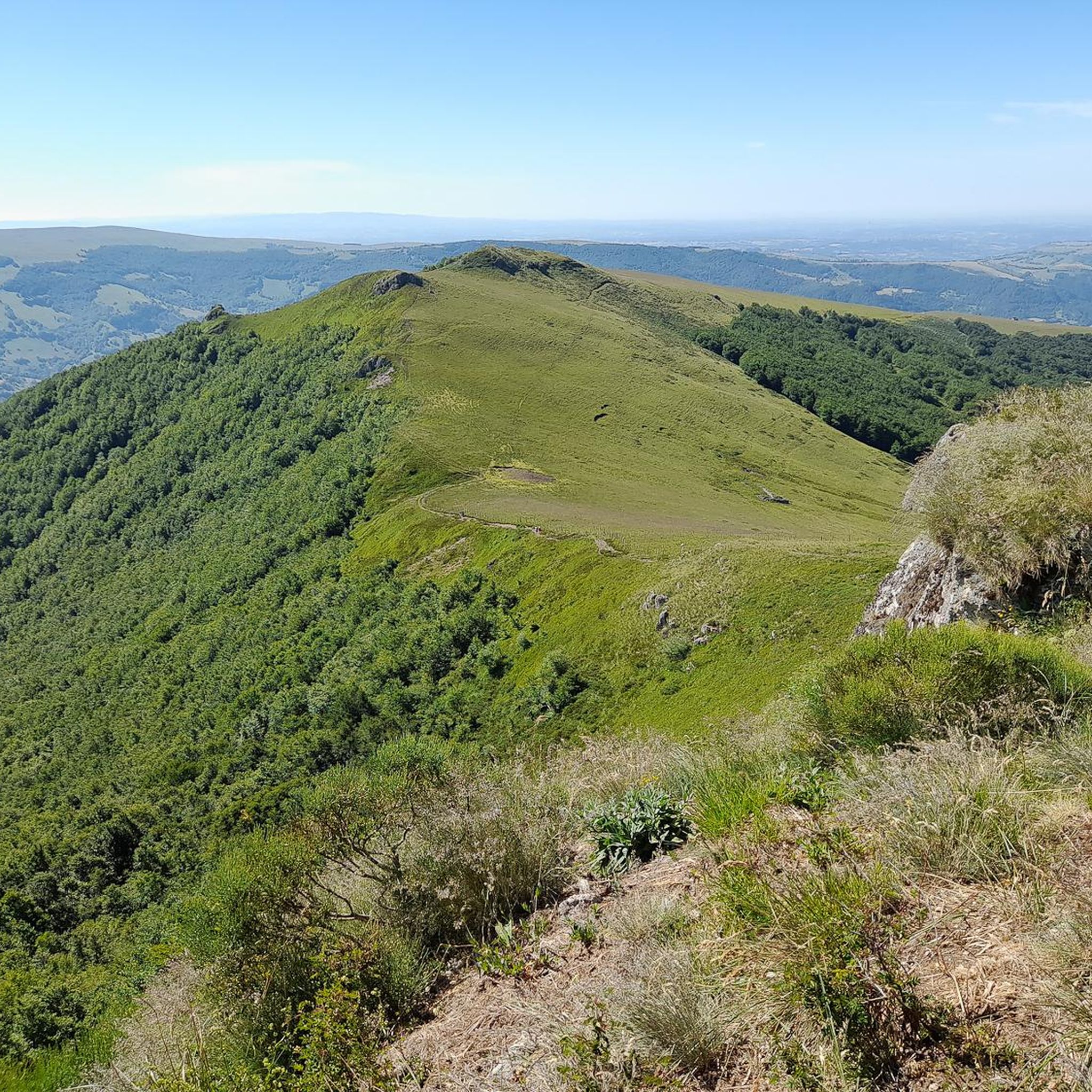
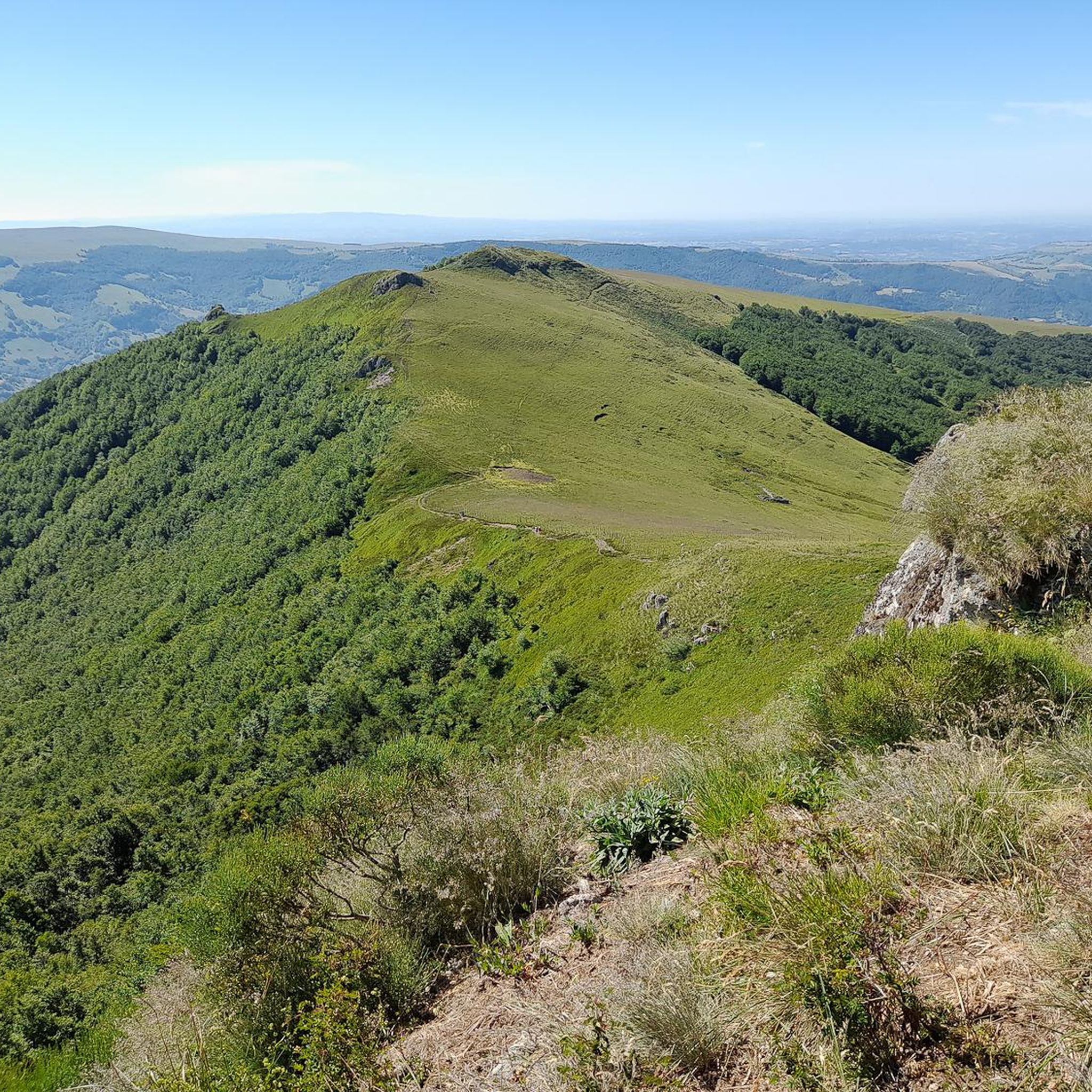
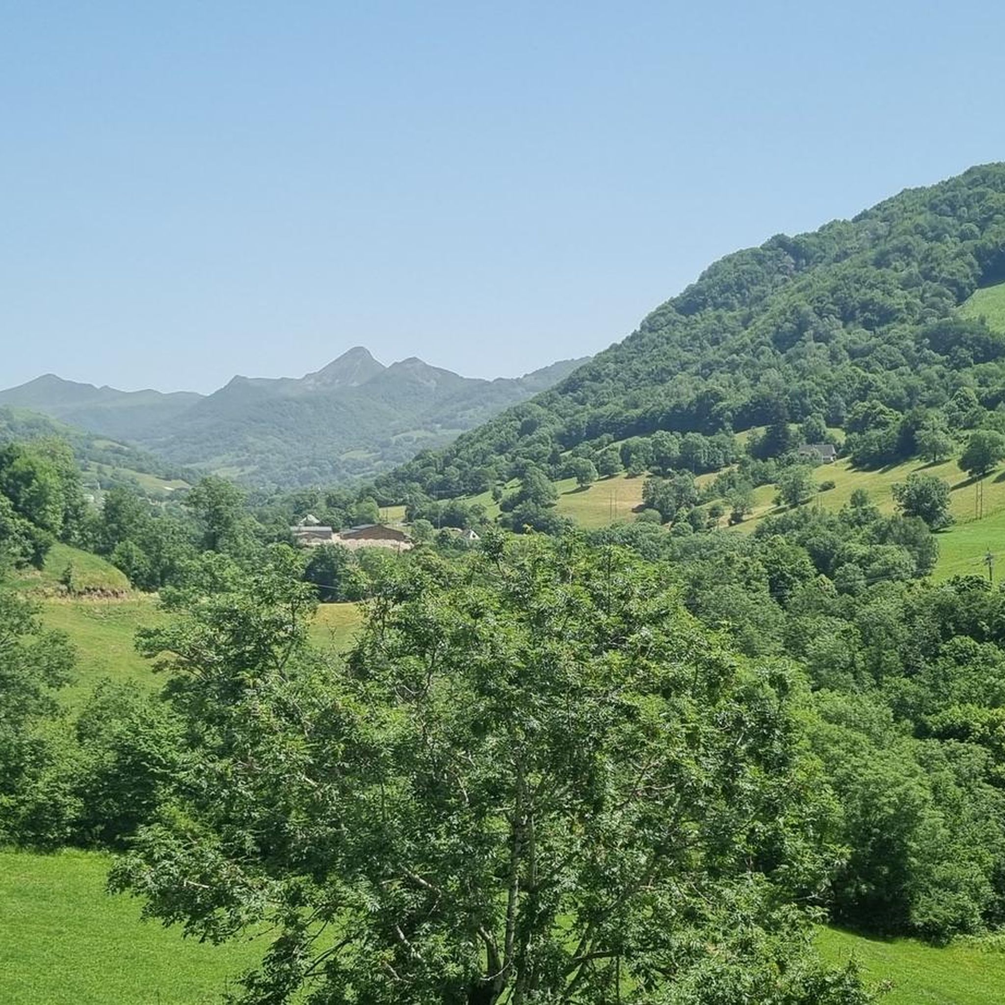
A magnificent site where the panoramas are breathtaking!!!
0
0

Rain, visibility 1m, but otherwise great
0
0

These magnificent burons are obviously open to observation but are in no way free to access. These are private properties, please respect them!
0
0

nice climb and good visibility over the valley
0
0

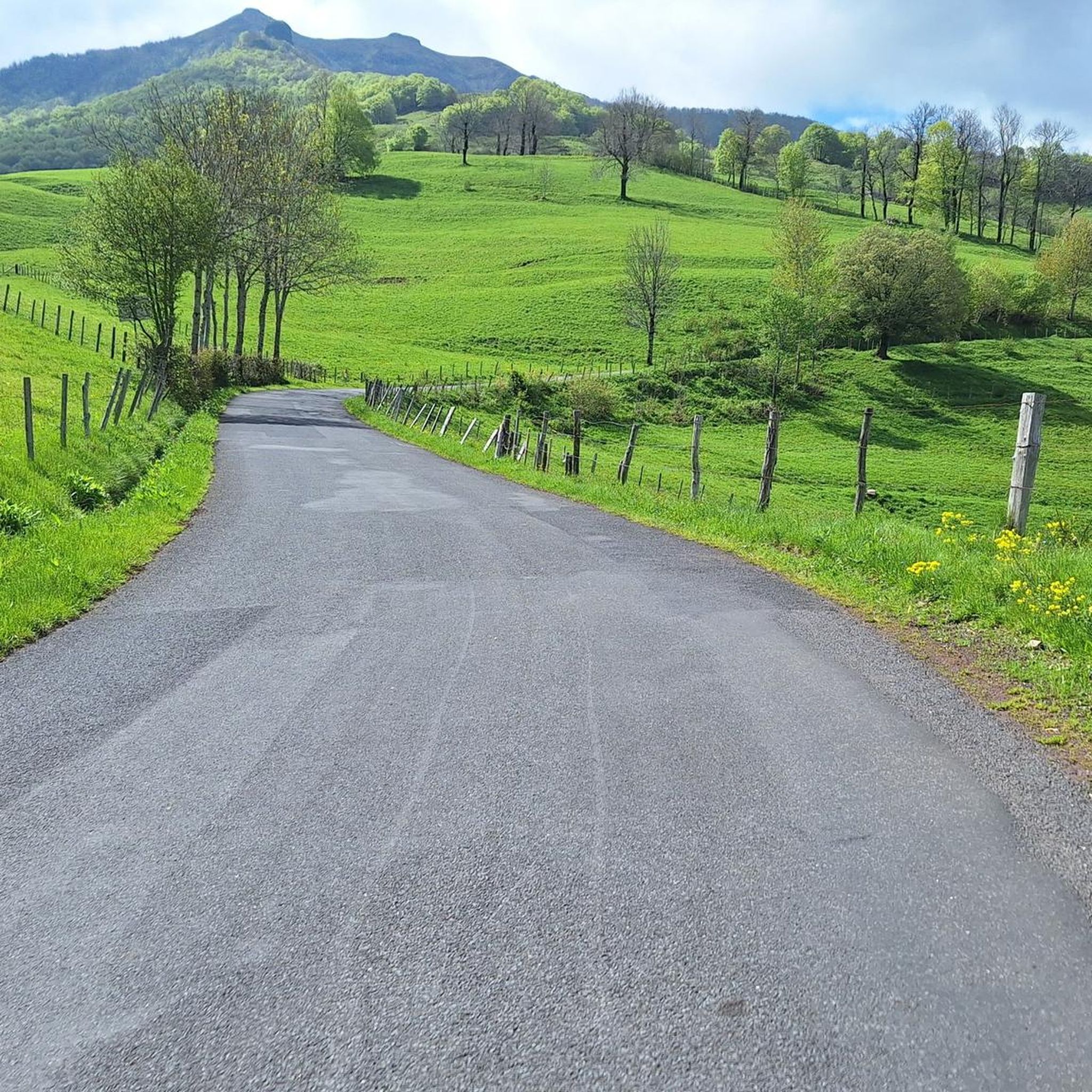
Col de Légal, at an altitude of 1,231 meters, on the beautiful Route des Crêtes. It allows you to go from the Doire valley to the Bertrande valley, in the heart of the Pays de Salers. There you will find a small inn open all year round.
0
0

At an altitude of 1,588 meters, the Pas de Peyrol is located between the Puy Mary and the Puy de la Tourte. It is known to be the highest road pass in the Massif Central and is worth it, because the last few kilometers have high percentages. There you can admire Puy Mary which peaks at an altitude of 1,783 metres. It is one of the peaks of the Cantal mountains. It is easily recognizable with its pyramidal silhouette.
1
0
Frequently Asked Questions
How many hiking trails are available around Saint-Cirgues-De-Jordanne?
There are over 250 hiking routes around Saint-Cirgues-De-Jordanne, catering to various skill levels. This includes more than 50 easy trails, over 110 moderate options, and around 90 difficult routes for experienced hikers.
What natural attractions can I explore while hiking in the area?
The region is rich in natural beauty. You can discover the spectacular Gorges de la Jordanne, carved by the river, offering a unique 4 km trail with bridges and footbridges. The area is also part of the Regional Natural Park of the Volcanoes of Auvergne, featuring impressive volcanic peaks like Puy Mary Summit, Puy Griou, and Puy Chavaroche, many of which offer panoramic views.
Are there any waterfalls accessible by hiking trails?
Yes, the area features picturesque waterfalls. The Faillitoux Waterfall – L'Élancèze loop from Faillitoux is a popular trail that leads to the impressive Cascade de Faillitoux, known for its 40-meter drop over basaltic organs. There's also the Cascade de Liadouze, located about 9 km from the village.
What is the best time of year to go hiking in Saint-Cirgues-De-Jordanne?
The Gorges de la Jordanne trail is typically accessible from May to October. Generally, late spring through early autumn (May to October) offers the most favorable conditions for hiking, with pleasant temperatures and full accessibility to most trails. During these months, you can fully appreciate the verdant landscapes and volcanic scenery.
Are there any challenging hikes with significant elevation gain?
Absolutely. For experienced hikers, the region offers several demanding routes. The Puy Chavaroche Loop from Col de Légal is a difficult 16.6 km trail with nearly 700 meters of elevation gain, rewarding hikers with panoramic views. Another challenging option is the Puy Chavaroche – Puy Mary Summit loop from Le Fau, which covers over 22 km with more than 1000 meters of ascent.
Can I find circular hiking routes in Saint-Cirgues-De-Jordanne?
Yes, many trails in the region are designed as loops, allowing you to start and end at the same point. Examples include the Puy Chavaroche Loop from Col de Légal and the Col de Légal – Refuge de Cabrespine loop from Col de Légal, which traverse varied volcanic landscapes.
What do other hikers say about the trails in Saint-Cirgues-De-Jordanne?
The hiking trails around Saint-Cirgues-De-Jordanne are highly regarded by the komoot community, with an average rating of 4.5 stars from over 1,100 reviews. Hikers often praise the diverse volcanic landscapes, the well-maintained paths, and the stunning viewpoints over the Jordanne valley and surrounding peaks.
Are there any easy hiking trails suitable for beginners or families?
Yes, the region offers easy trails suitable for a more relaxed experience. For instance, there's an easy version of the Col de Légal – Refuge de Cabrespine loop from Col de Légal, which is about 6.3 km long and takes around 2 hours to complete. The Gorges de la Jordanne also offers an accessible 4 km trail, perfect for a family outing.
Where can I find information about the Gorges de la Jordanne?
The Gorges de la Jordanne is a key natural site near Saint-Cirgues-De-Jordanne. You can find more detailed information about its accessibility, features, and the trail itself on the local tourism website: paysaurillactourisme.com.
Are there opportunities to see wildlife while hiking?
The Regional Natural Park of the Volcanoes of Auvergne is home to diverse wildlife. While hiking through the varied terrains, from forests to high-altitude pastures, you might spot birds such as the Red Kite (Milan Royal) and Black Swift (Martinet noir), among other local species.
Are there any specific peaks I should aim to hike for the best views?
For breathtaking panoramic views, consider hiking to peaks like Puy Mary Summit, a prominent stratovolcano and Grand Site de France, or Puy Chavaroche, which offers extensive vistas of the volcanic landscape. The highest point in Cantal, Plomb du Cantal, is also within reach for a challenging and rewarding experience.
Most popular routes around Saint-Cirgues-De-Jordanne
Most popular attractions around Saint-Cirgues-De-Jordanne

Get inspired with the komoot mobile app


Explore more
Browse the best Hikes in other regions.
