The best mountain hikes around Sainte-Foy-Tarentaise
4.6
(15)
91
hikers
16
hikes
Mountaineering routes around Sainte-Foy-Tarentaise are situated within the Vanoise National Park, offering diverse and challenging alpine terrain. The region is characterized by high mountain peaks, including Grande Sassière at 3747 meters, and features prominent glaciers such as Mont Pourri and Dôme de la Sache. Numerous alpine lakes and four distinct mountain valleys, including Petite Sassière and Le Clou, contribute to the varied landscape.
Best mountaineering routes around Sainte-Foy-Tarentaise
- The most popular mountaineering route is View of Pian de la Lière…
Last updated: July 18, 2026
13
hikers
11.6km
07:34
1,110m
1,110m
Hard mountaineering route. Very good fitness required. Sure-footedness, sturdy shoes and alpine experience required.
4.5
(2)
10
hikers
8.00km
03:27
610m
610m
Moderate mountaineering route. Good fitness required. Mostly accessible paths. Sure-footedness required.

Sign up for free
5.0
(1)
6
hikers
13.4km
05:30
780m
780m
Hard mountaineering route. Very good fitness required. Mostly accessible paths. Sure-footedness required.
5.0
(2)
6
hikers
14.6km
08:07
970m
970m
Hard mountaineering route. Very good fitness required. Sure-footedness, sturdy shoes and alpine experience required.
5.0
(3)
6
hikers
5.45km
02:38
470m
470m
Moderate mountaineering route. Good fitness required. Mostly accessible paths. Sure-footedness required.
Get access to more routes and recommendations from other explorers.
Sign up for free
Already have an account?
Our route recommendations are based on thousands of hikes, rides, and runs completed by other people on komoot.
Start today with a free account
Your next adventure awaits.
Login or Signup
Popular around Sainte-Foy-Tarentaise
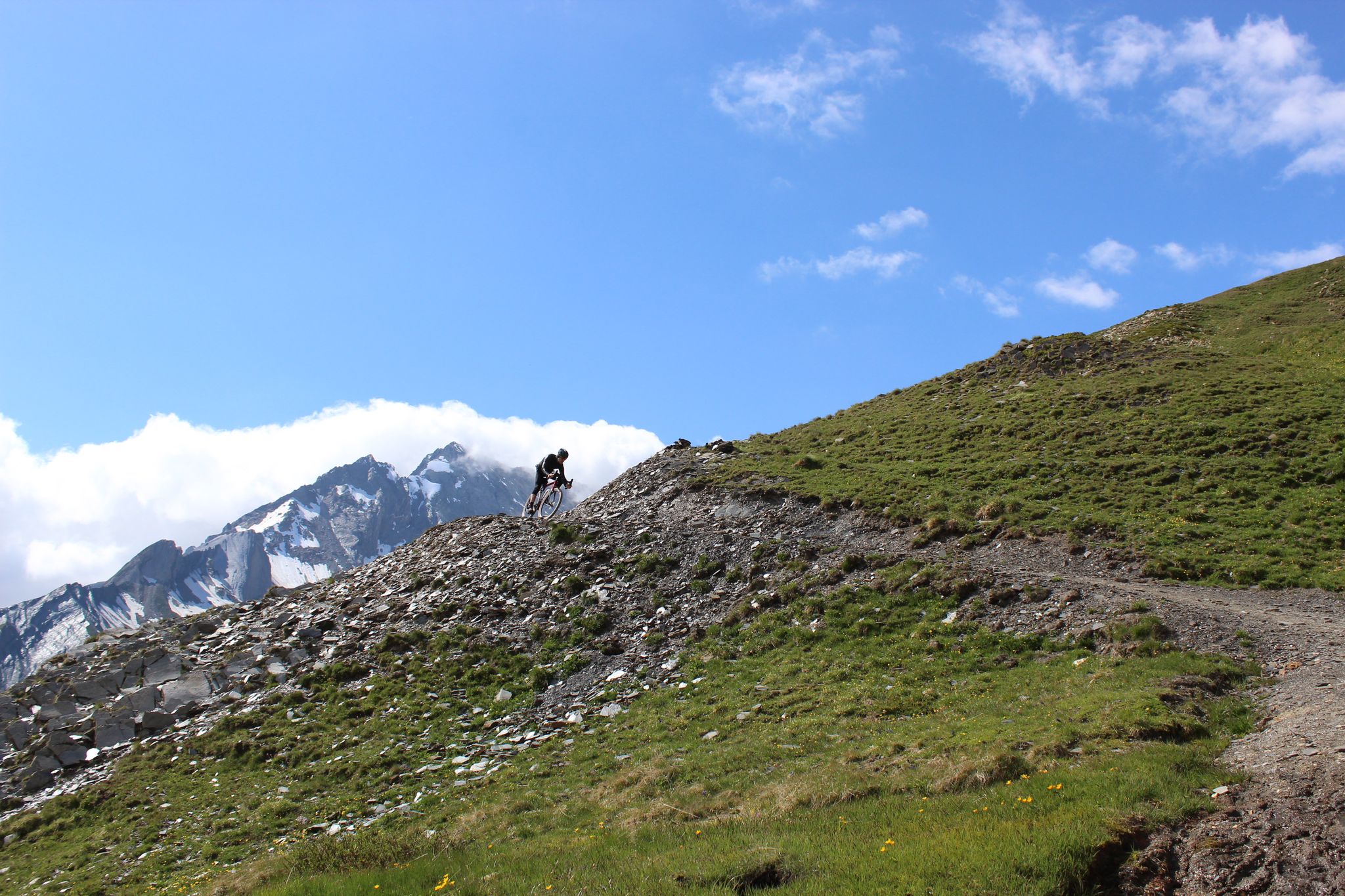
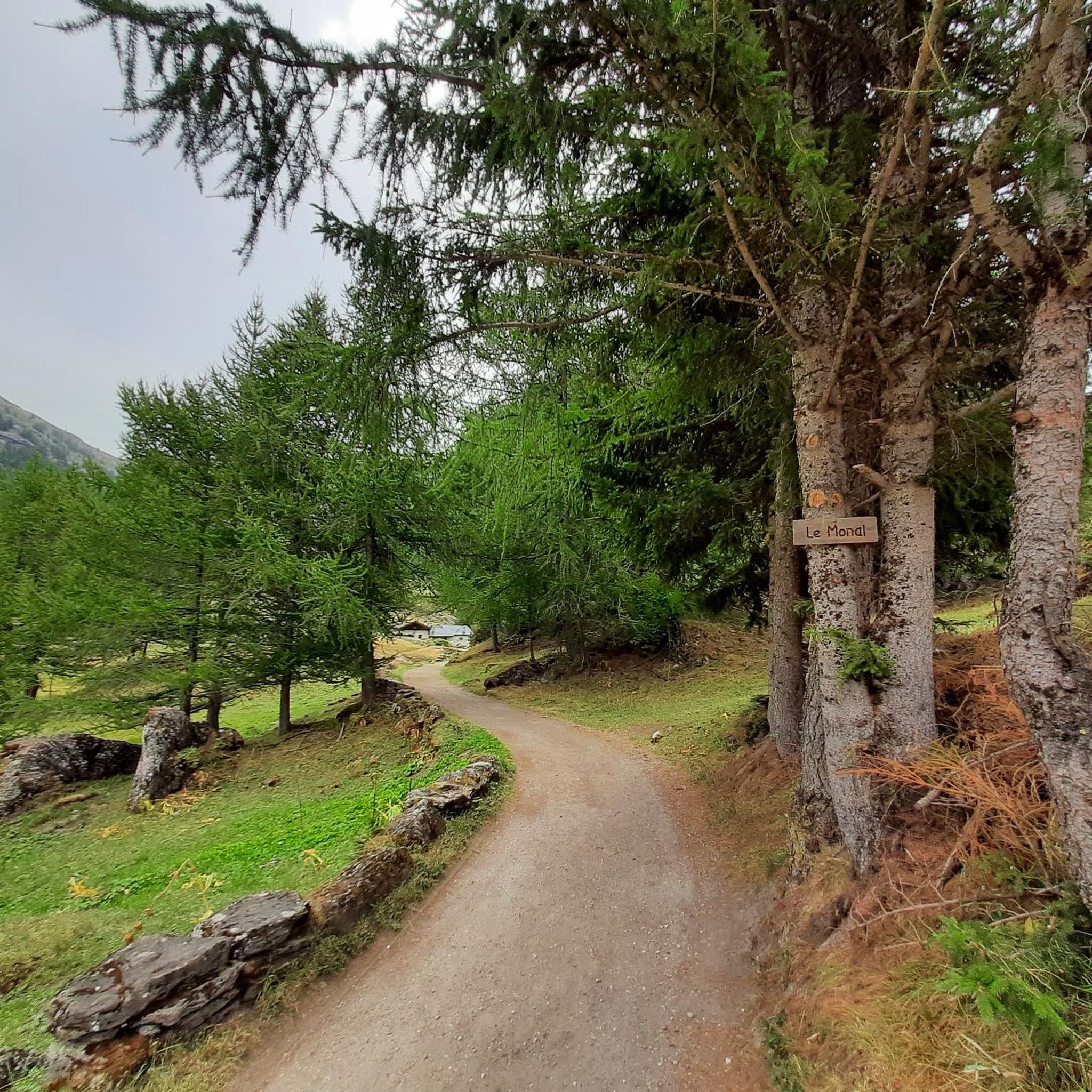
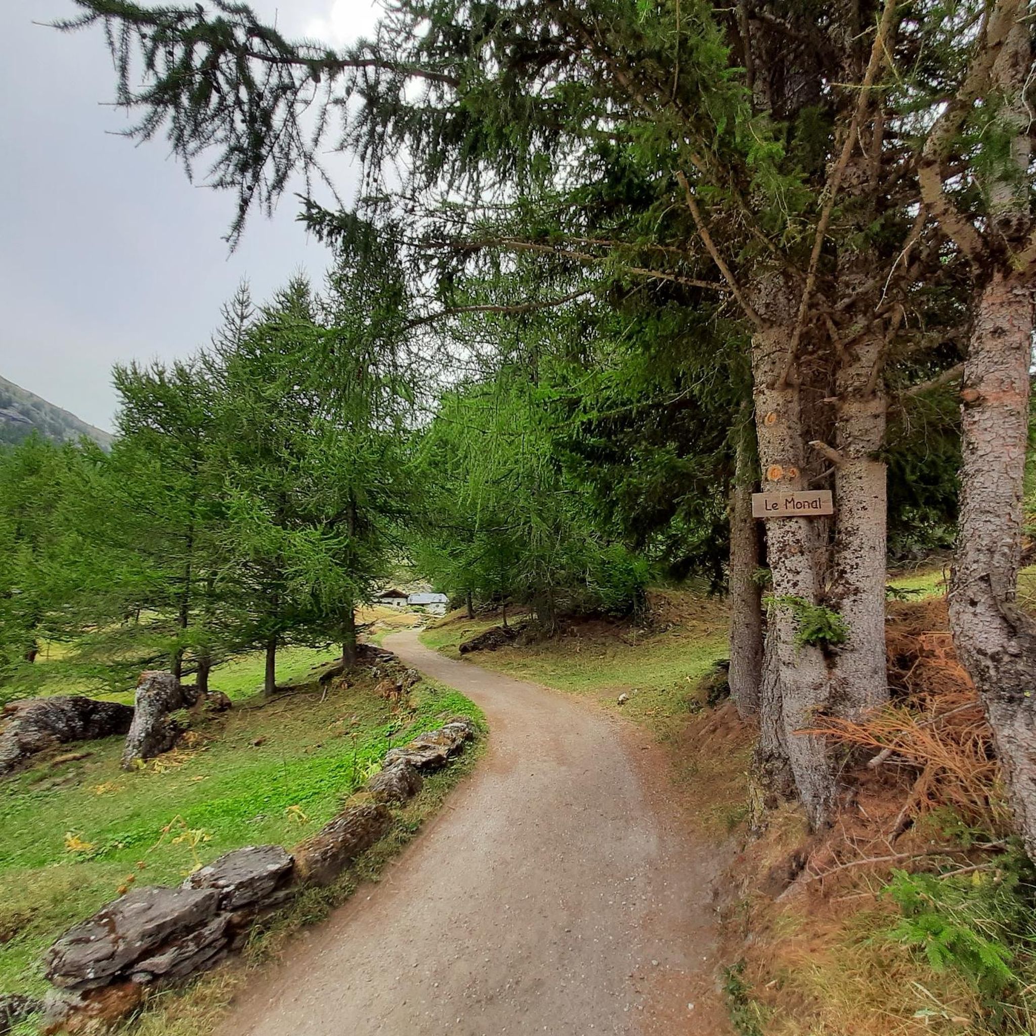
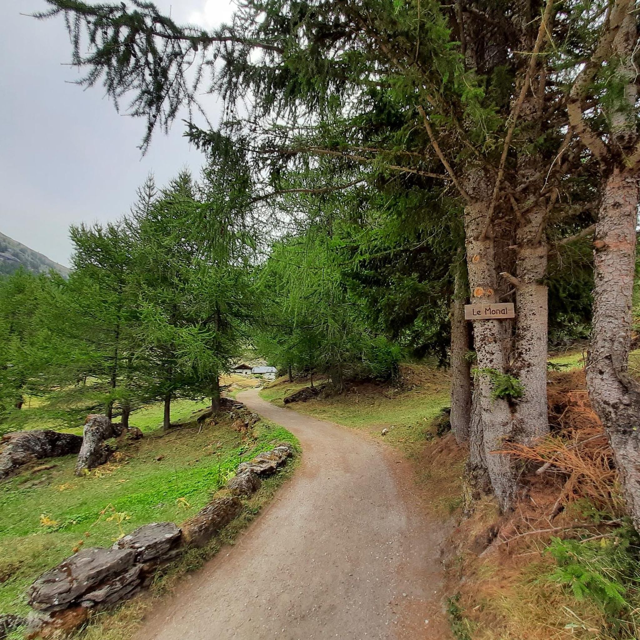

Other adventures around Sainte-Foy-Tarentaise

Tips from the Community


Excellent spot indeed with a very long and cool black trail to return 👌😍
0
0

Very irregular and decidedly challenging climb, especially in the initial kilometres which have steep gradients and, for over a kilometre, greater than 10%.
1
0

Lac du Palet is a mountain lake located at an altitude of 2,587 meters. The nearby "Refuge du Col du Palet" is a popular starting point for hikes in the region.
0
0
Grattaleu Lake is located just below a hill, behind the refuge. Overlooked by the Aiguille des Aimes and the Pointe du Chardonnet, the lake invites you to take a break before turning around to return to Tignes. Grattaleu Lake is one of the 130 high-altitude lakes in the Vanoise massif. Frozen in ice for nearly six months a year, only a few invertebrates live there.
0
0

Refueling that comes at just the right time!
0
0

Frequently Asked Questions
How many mountaineering routes are available in Sainte-Foy-Tarentaise?
There are over 20 mountaineering routes around Sainte-Foy-Tarentaise, offering a diverse range of challenges within the Vanoise National Park. These routes are highly rated by the komoot community, with an average score of 4.7 stars.
Are there any easier mountaineering routes for beginners in Sainte-Foy-Tarentaise?
While many routes are challenging, there are options for various ability levels. The region offers 10 moderate routes, which can be a good starting point for those with some experience looking to progress. Always ensure you have appropriate gear and fitness for alpine environments.
What are some challenging mountaineering routes for experienced climbers?
For experienced mountaineers, routes like the View of Pian de la Lière – View of the Valley and Lake loop from Promise offer significant challenges, covering 14.6 km with over 1000 meters of elevation gain. Another demanding option is the Mountaineering loop from Réserve naturelle de la Bailletaz, a 12.4 km path traversing rugged alpine environments.
Are there any circular mountaineering routes in the area?
Yes, many mountaineering routes in Sainte-Foy-Tarentaise are loops. For example, the View of the Valley and Lake – View of Rifugio and Glacier loop from La Joux is a popular 11.7 km circular trail that offers stunning views of glaciers and valleys.
What natural attractions can I see along the mountaineering routes?
The region is rich in natural beauty. You can encounter numerous alpine lakes such as Lake Arpy, and impressive glaciers like Mont Pourri and Dôme de la Sache. The powerful Rutor’s First Waterfall is also a prominent natural attraction fed by the Rutor glacier.
Are there mountain huts or refuges available along the routes?
Yes, several mountain huts and refuges serve as crucial bases for mountaineering expeditions. Notable options include Rifugio G. Federico Benevolo and Alberto Deffeyes Hut. These provide opportunities for rest, meals, and overnight stays, especially on longer multi-day routes.
What is the best time of year for mountaineering in Sainte-Foy-Tarentaise?
The summer months are generally ideal for mountaineering in Sainte-Foy-Tarentaise, offering more stable weather conditions and accessible trails. The landscape transforms from lush green in summer to golden larch forests in autumn, providing different scenic experiences. Winter mountaineering requires specialized equipment and expertise due to snow and ice conditions.
Do I need a permit for mountaineering in Sainte-Foy-Tarentaise?
Sainte-Foy-Tarentaise is situated within the Vanoise National Park, a protected nature reserve. While general access for mountaineering is permitted, specific regulations may apply to certain areas or activities, especially within the core zones. It's always advisable to check with local park authorities for any specific permit requirements or restrictions before your trip.
What kind of wildlife might I encounter on the trails?
As a protected area within the Vanoise National Park, Sainte-Foy-Tarentaise is home to diverse alpine fauna. Keep an eye out for chamois, ibex, marmots, and various bird species. Respecting their habitat and maintaining a safe distance is crucial.
Are there any family-friendly mountaineering options?
While many mountaineering routes are demanding, the region offers over 70km of local footpaths, some of which are suitable for families. For climbing, Falaise du Pré is noted as ideal for families and beginners. When planning a family outing, look for routes with less elevation gain and shorter distances, and always ensure everyone has appropriate footwear and gear.
Where can I find parking for mountaineering trails?
Many routes start from hamlets like Le Monal, La Masure, or Crôt, which typically offer parking facilities. Additionally, areas providing access to popular trailheads, such as near the Grand Plan chairlift (which operates in summer), will have designated parking. Always check local signage for specific parking regulations.
What do other mountaineers enjoy most about the routes in Sainte-Foy-Tarentaise?
The komoot community highly rates the mountaineering routes in Sainte-Foy-Tarentaise, with an average score of 4.7 stars. Reviewers often praise the stunning panoramic views of high peaks and glaciers, the diverse and well-preserved alpine environment, and the authentic charm of the region away from more crowded resorts.
Most popular routes around Sainte-Foy-Tarentaise
Most popular attractions around Sainte-Foy-Tarentaise

Get inspired with the komoot mobile app


Explore more
Browse the best Mountain Hikes & Routes in other regions.
