The best walks and hikes around Sainte-Foy-Tarentaise
4.6
(670)
6,232
hikers
53
hikes
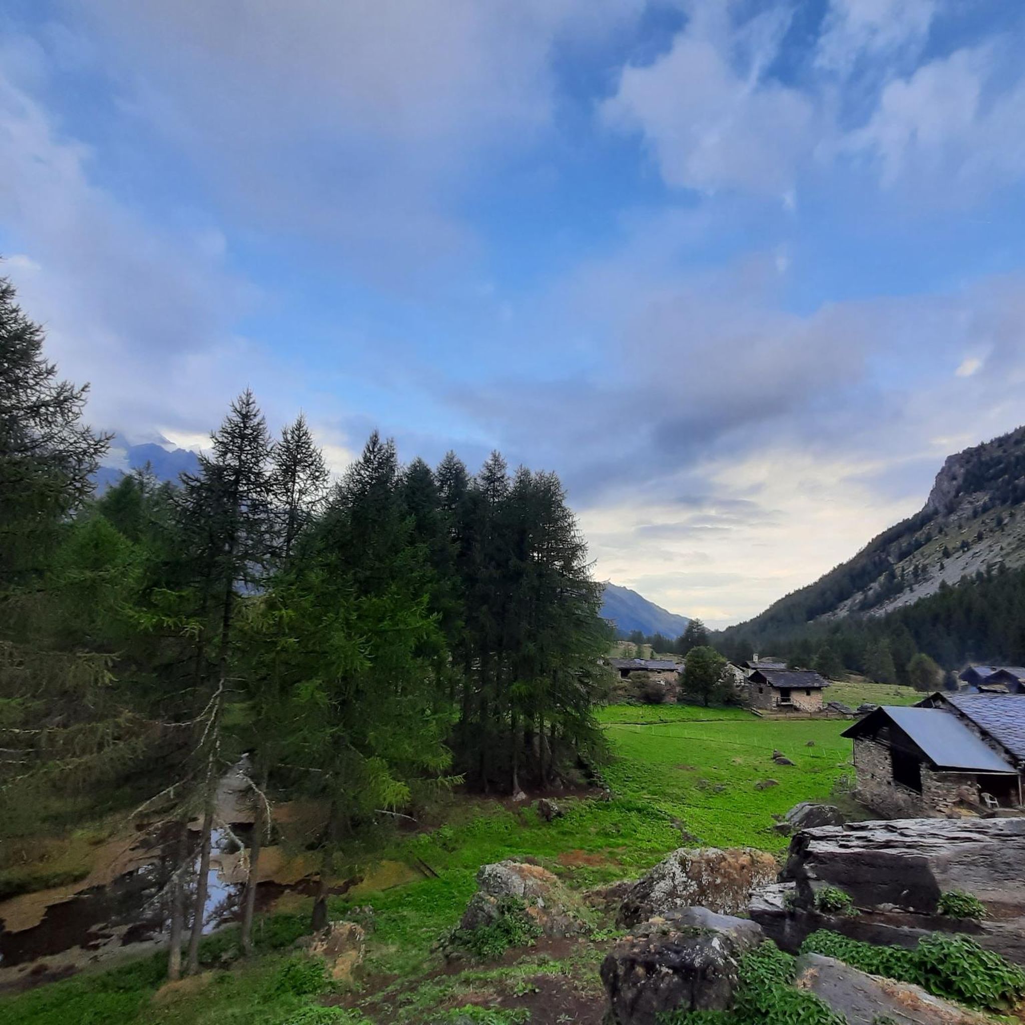
Hiking around Sainte-Foy-Tarentaise offers diverse terrain, from high mountains to lush forests and serene alpine pastures. The region is characterized by four distinct mountain valleys, with elevations ranging from 890 meters in the Isère valley to 3747 meters at the Grande Sassière needle. This area, located within the Vanoise National Park, features an extensive network of hiking trails Sainte-Foy-Tarentaise that traverse valleys, past alpine lakes, and through traditional hamlets.
Best hiking trails in Sainte-Foy-Tarentaise
- The most popular hiking route is Lac du Clou - La Tarentaise, a 7.4 miles (11.9 km) trail that takes 4 hours 20 minutes to complete. This moderate route leads through the protected Clou Valley, past the Lac du Clou.
- Another top favourite among local hikers is Lac du Retour - Tarentaise, a difficult 8.3 miles (13.4 km) path. This trail explores the Mercuel Valley, leading to Lac du Retour with significant elevation gain.
- Local hikers also love the W – Le Monal loop from Sainte-Foy-Tarentaise, a 5.4 miles (8.7 km) trail leading through the traditional hamlet of Monal, often completed in about 2 hours 43 minutes.
- Hiking around Sainte-Foy-Tarentaise is defined by diverse valleys, alpine lakes, and traditional hamlets. The network offers options for various ability levels, from accessible paths to challenging multi-day treks.
- The routes in Sainte-Foy-Tarentaise are highly rated by the komoot community with an average score of 4.6 stars from over 550 reviews. More than 5000 hikers have used komoot to explore Sainte-Foy-Tarentaise's varied terrain.
Last updated: October 12, 2026
4.7
(18)
130
hikers
11.9km
04:20
600m
600m
Moderate hike. Good fitness required. Mostly accessible paths. Sure-footedness required.
9
hikers
13.4km
06:24
870m
870m
Hard hike. Very good fitness required. Sure-footedness, sturdy shoes and alpine experience required.

5.0
(3)
12
hikers
10.3km
05:10
940m
940m
Alpine trek from historic border pass to remote refuge via dark mountain lakes and ancient hamlets.
4.7
(39)
423
hikers
9.19km
02:53
340m
340m
Moderate hike. Good fitness required. Easily-accessible paths. Suitable for all skill levels.
4.8
(9)
145
hikers
13.5km
05:28
800m
800m
Hard hike. Very good fitness required. Mostly accessible paths. Sure-footedness required.
Get access to more routes and recommendations from other explorers.
Already have an account?
Our route recommendations are based on thousands of hikes, rides, and runs completed by other people on komoot.
Start today with a free account
Your next adventure awaits.
Popular around Sainte-Foy-Tarentaise
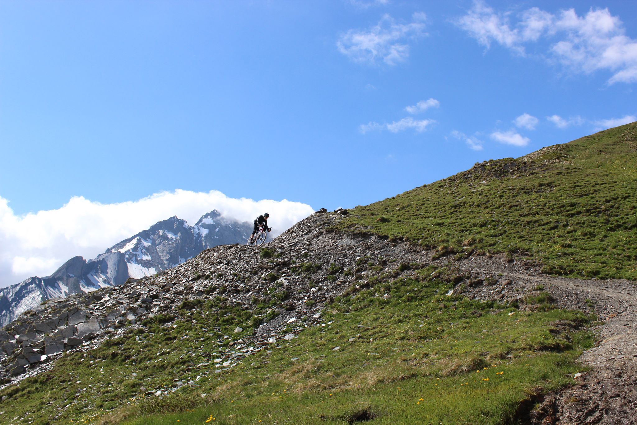
Spectacular Alpine gravel roads of the Tarentaise Valley
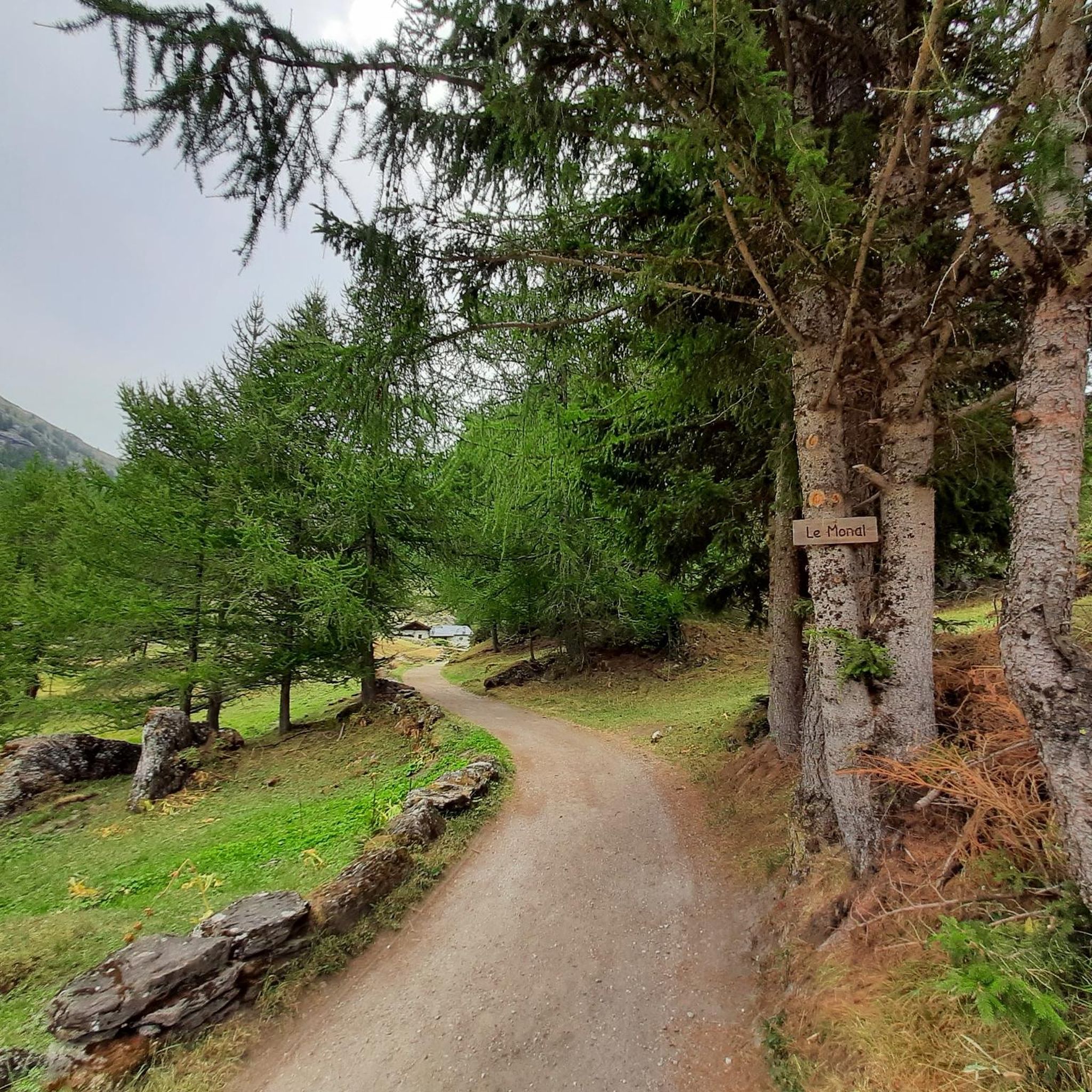
Road Cycling Routes around Sainte-Foy-Tarentaise
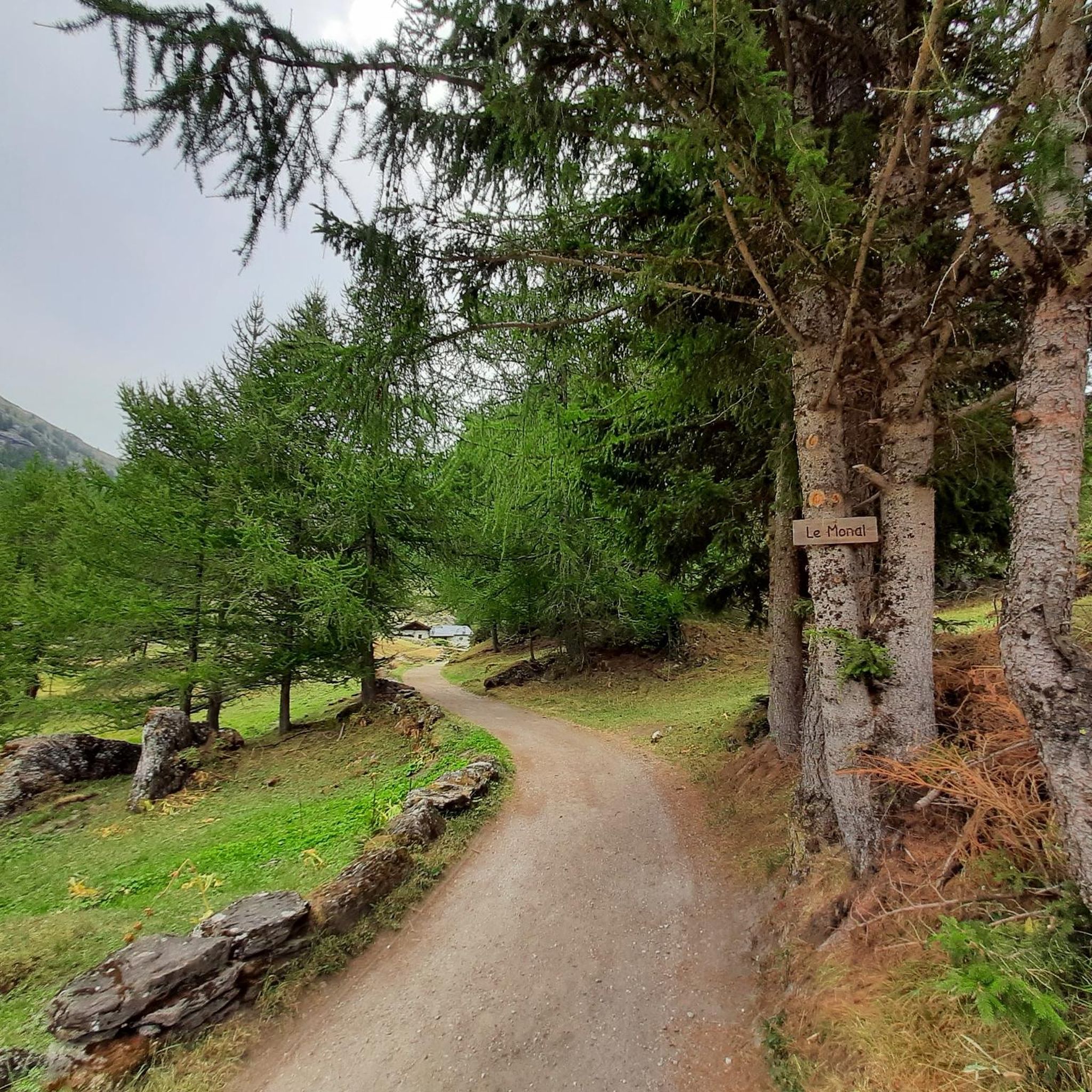
MTB Trails around Sainte-Foy-Tarentaise
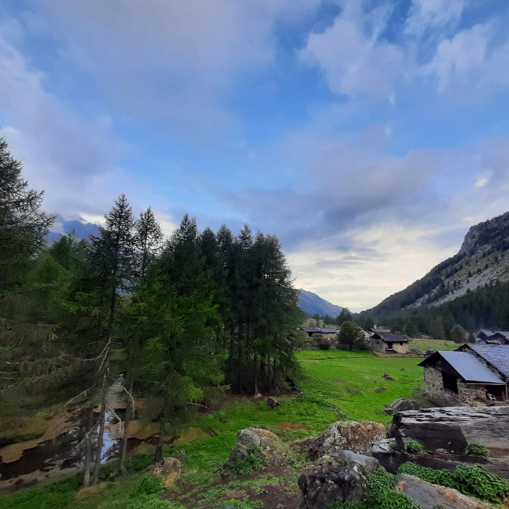
Cycling around Sainte-Foy-Tarentaise
Running Trails around Sainte-Foy-Tarentaise

Gravel biking around Sainte-Foy-Tarentaise

Mountain Hikes around Sainte-Foy-Tarentaise
Other adventures around Sainte-Foy-Tarentaise

Tips from the Community

Passed it yesterday but did not get any service. Lady requested us to wait outside she would come and take our order, but after 20 minutes or more she simply closed the door and locked us out.
0
0

Stunning route. Perfect for walking or running. Lovely trail that takes you through the trees with some amazing views over the valley
0
0

Refugio after crossing the Col du Mont, a pass that connects the Valgrisenche with the Val d'Isère.
0
0

Perched in the Alps, this viewpoint offers a magnificent panorama of snow-capped mountains, alpine forests and small villages nestled in the valley bottom. The view extends over majestic peaks and green slopes.
1
0


Mountain refuge, accessible from Sainte-Foy-Tarentaise by mountain bike. From this small haven of peace, you can take numerous walks to discover the Haute Tarentaise. The little extra: a small lake nearby to enjoy a picnic in complete tranquility. Refuge on the GR5 and GR des Haute Tarentaise routes.
0
1

A true alpine refuge perched in the high mountains above Villaroger, just before the French-Italian border. The refuge offers accommodation and food, as well as being a great place to take a coffee break and enjoy the alpine atmosphere, before heading quickly back down the mountain.
1
0

Frequently Asked Questions
How many hiking trails are available in Sainte-Foy-Tarentaise?
Sainte-Foy-Tarentaise offers a wide network of over 50 hiking trails. These routes cater to various skill levels, with 10 easy, 25 moderate, and 18 difficult options available for exploration.
What are the different difficulty levels for hiking in Sainte-Foy-Tarentaise?
The trails in Sainte-Foy-Tarentaise range from easy family strolls to challenging multi-day treks. You'll find 10 easy routes, 25 moderate paths, and 18 difficult trails, ensuring options for all experience levels. For example, the Lac du Clou - La Tarentaise is a moderate route, while Lac du Retour - Tarentaise is considered difficult.
What do other hikers say about the trails in Sainte-Foy-Tarentaise?
The hiking routes in Sainte-Foy-Tarentaise are highly rated by the komoot community, with an average score of 4.6 stars from over 550 reviews. More than 5,000 hikers have explored the varied terrain, often praising the stunning mountain scenery, diverse valleys, and serene alpine pastures.
Are there any waterfalls to see while hiking in Sainte-Foy-Tarentaise?
Yes, the region features impressive natural attractions like the 150-meter-high tiered Cascade de la Raie (Raie waterfall), accessible via a forest trail. You can also explore the Rutor waterfalls, fed by the Rutor glacier, which are a significant natural landmark. The Rutor’s First Waterfall is a notable highlight.
Can I find hikes that feature alpine lakes in Sainte-Foy-Tarentaise?
Absolutely. Sainte-Foy-Tarentaise is rich in alpine lakes. The Petite Sassière Valley is known for lakes like Lac du Petit, Lac Longet, and Lac Verdet. The Mercuel Valley features Lac Noir, and the Clou Valley has Lac du Clou and other high-mountain lakes. Popular routes include Lac du Clou - La Tarentaise and Lac du Retour - Tarentaise. Don't miss Lake Arpy, known for its vibrant colors.
What kind of wildlife can I expect to see on the trails in Sainte-Foy-Tarentaise?
Being at the heart of the Vanoise National Park, Sainte-Foy-Tarentaise offers abundant wildlife observation opportunities. Hikers frequently spot marmots, ibexes, chamois, and golden eagles. The area is also home to various rare alpine plants, making it a rich environment for nature enthusiasts.
Are there any family-friendly hiking options in Sainte-Foy-Tarentaise?
Yes, Sainte-Foy-Tarentaise offers accessible paths suitable for families. The extensive trail network includes options designed for various fitness levels, from easy strolls to more challenging routes. During summer, the Grand Plan chairlift operates free for pedestrians, providing easy access to higher elevation trails and panoramic views, which can be a great starting point for family adventures.
Are dogs allowed on hiking trails in Sainte-Foy-Tarentaise?
Many trails in Sainte-Foy-Tarentaise are dog-friendly, especially outside the core zone of the Vanoise National Park where regulations might be stricter. It's always advisable to keep dogs on a leash to protect local wildlife and livestock. Some guided activities, like 'cani-rando' (hiking with a dog), are also available.
Can I explore traditional villages or hamlets while hiking?
Yes, the region is known for its charming traditional Savoyard villages and classified hamlets. Le Monal, for instance, is celebrated for its preserved stone, wood, and lauze architecture, offering an authentic mountain atmosphere. The W – Le Monal loop from Sainte-Foy-Tarentaise is a popular route that takes you through this picturesque hamlet.
Are there circular hiking routes available in Sainte-Foy-Tarentaise?
Yes, many routes in Sainte-Foy-Tarentaise are designed as circular paths, allowing you to start and end at the same point. An example is the W – Le Monal loop from Sainte-Foy-Tarentaise, which offers a scenic journey through the traditional hamlet of Monal.
What is the best time of year for hiking in Sainte-Foy-Tarentaise?
The best time for hiking in Sainte-Foy-Tarentaise is typically from late spring to early autumn. During these months, the weather is generally favorable, and the trails are clear of snow. The landscape transforms beautifully, from lush greens in summer to striking golden hues in autumn, offering diverse scenic experiences.
Are there any notable mountain peaks or viewpoints accessible by hiking?
Sainte-Foy-Tarentaise offers stunning views of mountain ranges like the Petite Sassière and Mont Pourri, as well as glaciers and sweeping panoramas of the Haute Tarentaise valley. The region's elevations range up to 3747 meters at the Grande Sassière needle. You can find highlights like Aiguille de la Grande Sassière and Aiguille Grive for impressive vistas.
Is public transport available to access hiking trails in Sainte-Foy-Tarentaise?
While specific public transport routes directly to trailheads can vary, Sainte-Foy-Tarentaise is generally accessible. During the summer, the Grand Plan chairlift operates free of charge for pedestrians, providing convenient access to higher elevation trails and the Plan Bois plateau, which can serve as a starting point for many hikes.
Most popular routes around Sainte-Foy-Tarentaise
Most popular attractions around Sainte-Foy-Tarentaise

Get inspired with the komoot mobile app


Explore more
Browse the best Hikes in other regions.
