The best running trails around Loyettes
4.4
(283)
4,938
runners
444
runs
Jogging around Loyettes offers diverse terrain within a unique natural landscape, primarily shaped by the confluence of the Rhône and Ain rivers. This area features a protected natural delta, providing varied ecosystems for running. Trails often follow riverbanks, leading through soft and hard wood forests, and offer views of the water. The region's flat to gently rolling terrain makes it accessible for various running preferences.
Best jogging routes around Loyettes
- The most popular jogging route is Running loop from Saint-Maurice-de-Gourdans…
Last updated: November 5, 2026
4.0
(2)
11
runners
7.19km
00:46
30m
30m
Moderate run. Good fitness required. Mostly paved surfaces.
4.0
(1)
16
runners
10.5km
01:10
50m
50m
Moderate run. Good fitness required. Mostly paved surfaces.

2.0
(1)
7
runners
12.9km
01:26
60m
60m
Moderate run. Good fitness required. Mostly paved surfaces.
8
runners
18.6km
01:58
130m
130m
Hard run. Very good fitness required. Mostly paved surfaces.
5
runners
9.31km
01:03
50m
50m
Moderate run. Good fitness required. Mostly paved surfaces.
Get access to more routes and recommendations from other explorers.
Already have an account?
Our route recommendations are based on thousands of hikes, rides, and runs completed by other people on komoot.
Start today with a free account
Your next adventure awaits.
Tips from the Community

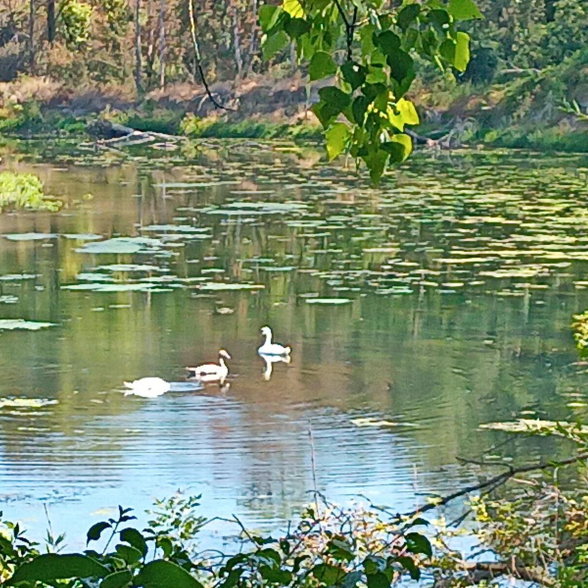
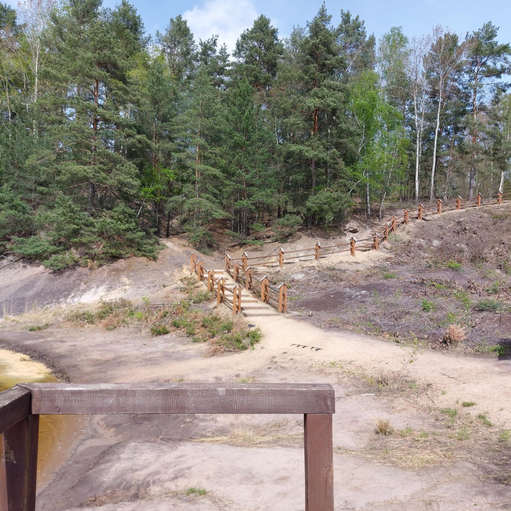
L'étang du Peillard is a charming small body of water located in the municipality of Saint-Romain-de-Jalionas, in the north of the Isère department, in the Auvergne-Rhône-Alpes region. It is located right next to the historic site of Moulin du Peillard.
0
0

Discover here a pretty little pond with a beautiful diversity of dragonflies.
0
0


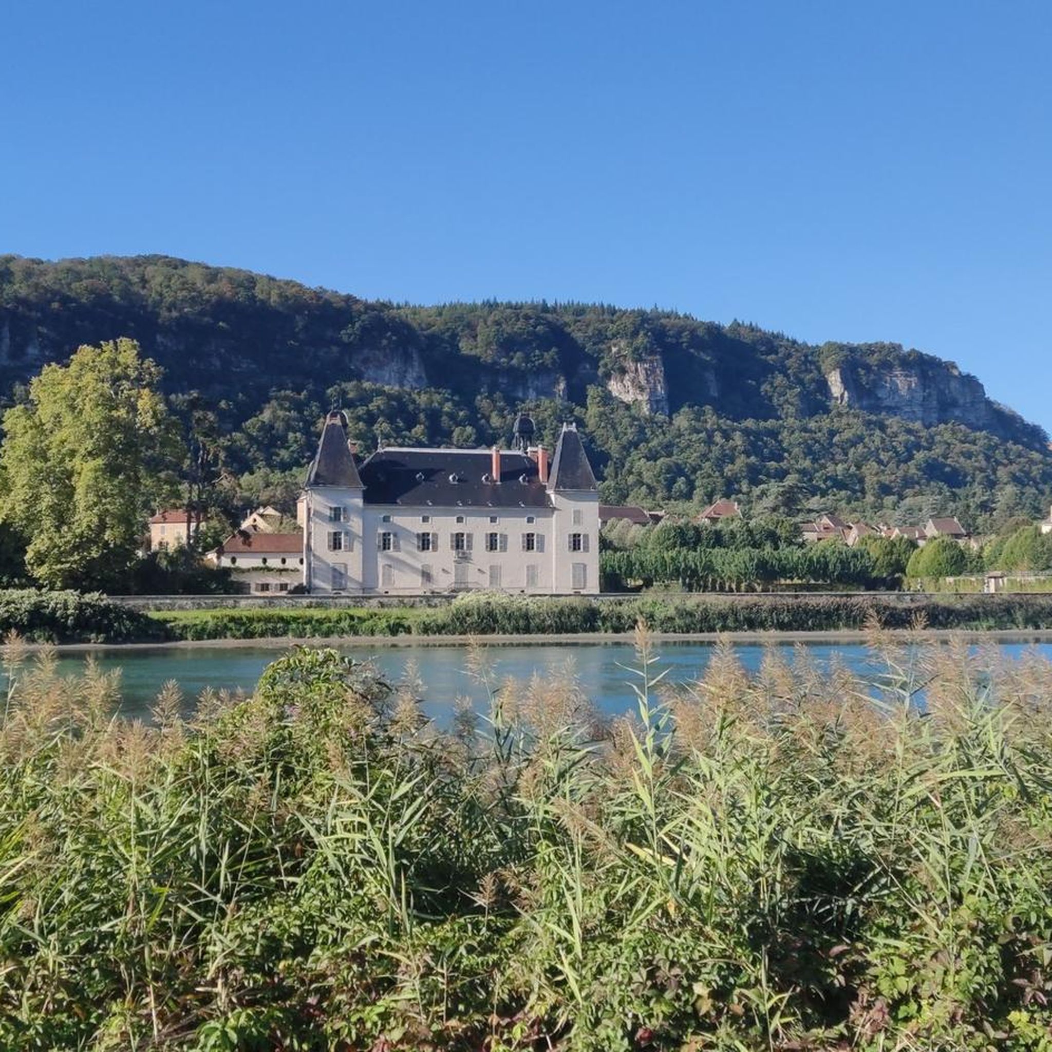
Although first mentioned in 1540, the Cingle fortified house was undoubtedly built in the second half of the 14th century by the Pèlerin family. Originally composed of a main tower and a wing back to the west, it perhaps originally included a curtain wall. During the 15th century, the south wing was extended towards the west, a main building comprising a lower room and an upper room was attached to the north of the main tower, while a turret occupied on the first floor by an oratory and on the second by a dovecote is built to the east, projecting. A wing including the kitchen on the ground floor is also built at right angles to the north of the courtyard. The farm itself retains some architectural elements dating from the 16th century. Source: Ministry of Culture
1
0

The Saint-Maurice church is a Catholic church located in the town of Saint-Maurice-de-Gourdans. It was built in the 13th century. It was added to the list of historical monuments in 1909.
1
0

Listed as historical monuments: https://www.pop.culture.gouv.fr/notice/merimee/PA00117311
1
0

Pretty village fountain planted with flowers in the hamlet of Mollard-Reinard. Here you can fill up your water supplies or cool off on a hot day.
4
0

A monument "Monument aux Morts" in Wegessrand.
2
0
Frequently Asked Questions
How many running routes are available in Loyettes?
Loyettes offers a wide selection of running routes, with over 400 options available on komoot. This includes a diverse range of trails suitable for various fitness levels and preferences.
What kind of terrain can I expect on jogging routes in Loyettes?
The jogging routes in Loyettes feature diverse terrain, primarily shaped by the confluence of the Rhône and Ain rivers. You'll find paths along riverbanks, through soft and hard wood forests, and across varied ecosystems. The region generally offers flat to gently rolling terrain, making it accessible for many runners.
Are there routes suitable for beginners or those looking for an easy run?
Yes, Loyettes has several easy running routes. There are over 40 routes classified as easy, perfect for beginners or those seeking a relaxed jog. Many of these follow the gentle riverbanks, offering pleasant and accessible paths.
What do other runners say about the jogging routes in Loyettes?
The running routes in Loyettes are highly rated by the komoot community, with an average score of 4.5 stars from over 180 reviews. Runners often praise the unique natural delta landscape, the serene river views, and the well-maintained paths that make for an enjoyable experience.
Are there any circular running routes in Loyettes?
Yes, many of the running routes in Loyettes are circular, allowing you to start and end at the same point. For example, the Loyettes bridge loop from Loyettes is a popular 9.4 km circular trail that takes you through local landscapes and across the Loyettes bridge.
Can I find routes that follow the rivers or offer water views?
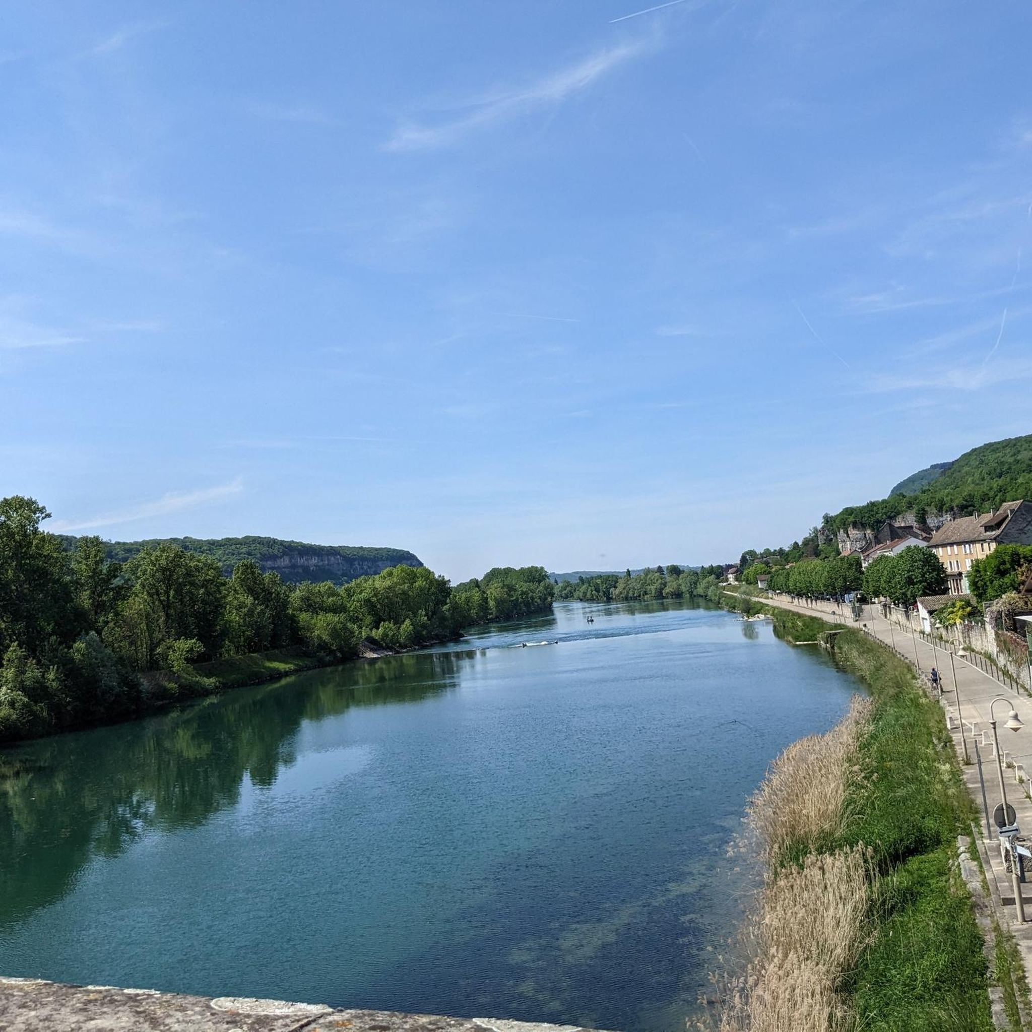
Absolutely. Loyettes is defined by the confluence of the Rhône and Ain rivers, and many routes directly follow their banks. The Confluence loop from Anthon, for instance, explores the unique natural delta where these two rivers meet, providing stunning water views and a unique natural environment.
Are the running trails in Loyettes suitable for families?
Yes, many of the trails in Loyettes are suitable for families, especially those looking for an easy or moderate outing. The generally flat terrain and well-defined paths along the riverbanks and through forests make them enjoyable for all ages. The protected natural site also offers opportunities to observe local flora and fauna.
Are dogs allowed on the running trails in Loyettes?
Loyettes is generally dog-friendly, and many trails are suitable for running with your canine companion. However, it's always recommended to keep dogs on a leash, especially in protected natural areas like the Rhône-Ain confluence, to protect wildlife and ensure a pleasant experience for everyone.
What are the parking options for accessing jogging routes in Loyettes?
Parking is generally available near the starting points of many popular jogging routes in Loyettes. Specific parking areas can often be found close to trailheads, particularly in villages like Saint-Maurice-de-Gourdans or Anthon, which serve as common access points for the river loops.
Are there any interesting landmarks or natural features to see while jogging in Loyettes?
Yes, Loyettes offers several interesting sights. While jogging, you can enjoy the unique natural delta at the confluence of the Rhône and Ain rivers. For those interested in extending their visit, nearby attractions include the historical medieval town of Crémieu or the fascinating La Balme Caves, though these are typically a short drive from the immediate running areas.
When is the best time of year to go jogging in Loyettes?
The best time to go jogging in Loyettes is typically during spring and autumn when the weather is mild and comfortable. These seasons offer pleasant temperatures for outdoor activities and showcase the region's natural beauty, with lush greenery in spring and vibrant colors in autumn. Summer can also be enjoyable, especially in the mornings or evenings, but be mindful of warmer temperatures.
Are there any longer running trails for more experienced runners?
Yes, for more experienced runners looking for a longer challenge, Loyettes offers several routes exceeding 10 km. The Confluence loop from Anthon is a moderate 10.5 km path, and the River loop from Saint-Maurice-de-Gourdans is another great option at 9.3 km, providing ample distance for a good workout.
Most popular attractions around Loyettes

Get inspired with the komoot mobile app


Explore more
Browse the best Running Trails & Routes in other regions.
