The best cycling routes around Loyettes
4.5
(404)
3,342
riders
229
rides
Touring cycling routes around Loyettes offer a diverse landscape, characterized by its position on the banks of the Rhône River and proximity to the Ain and Isère departments. The terrain features a mix of plains, gentle river valleys, and varied surfaces including paved roads, cycleways, and gravel paths. This region provides a network of routes suitable for exploring the natural environment of the Auvergne-Rhône-Alpes.
Best touring cycling routes around Loyettes
- The most popular touring cycling route is Saint-Maurice Church –…
Last updated: November 5, 2026
4.2
(16)
150
riders
61.3km
03:36
320m
320m
Moderate bike ride. Good fitness required. Mostly paved surfaces.
4.7
(7)
32
riders
Moderate bike ride. Good fitness required. Mostly paved surfaces.

4.7
(3)
31
riders
Moderate bike ride. Good fitness required. Mostly paved surfaces.
4.0
(1)
25
riders
26.4km
01:49
190m
190m
Moderate bike ride. Good fitness required. Mostly paved surfaces.
4.5
(6)
21
riders
Hard bike ride. Very good fitness required. Mostly paved surfaces.
Get access to more routes and recommendations from other explorers.
Already have an account?
Our route recommendations are based on thousands of hikes, rides, and runs completed by other people on komoot.
Start today with a free account
Your next adventure awaits.
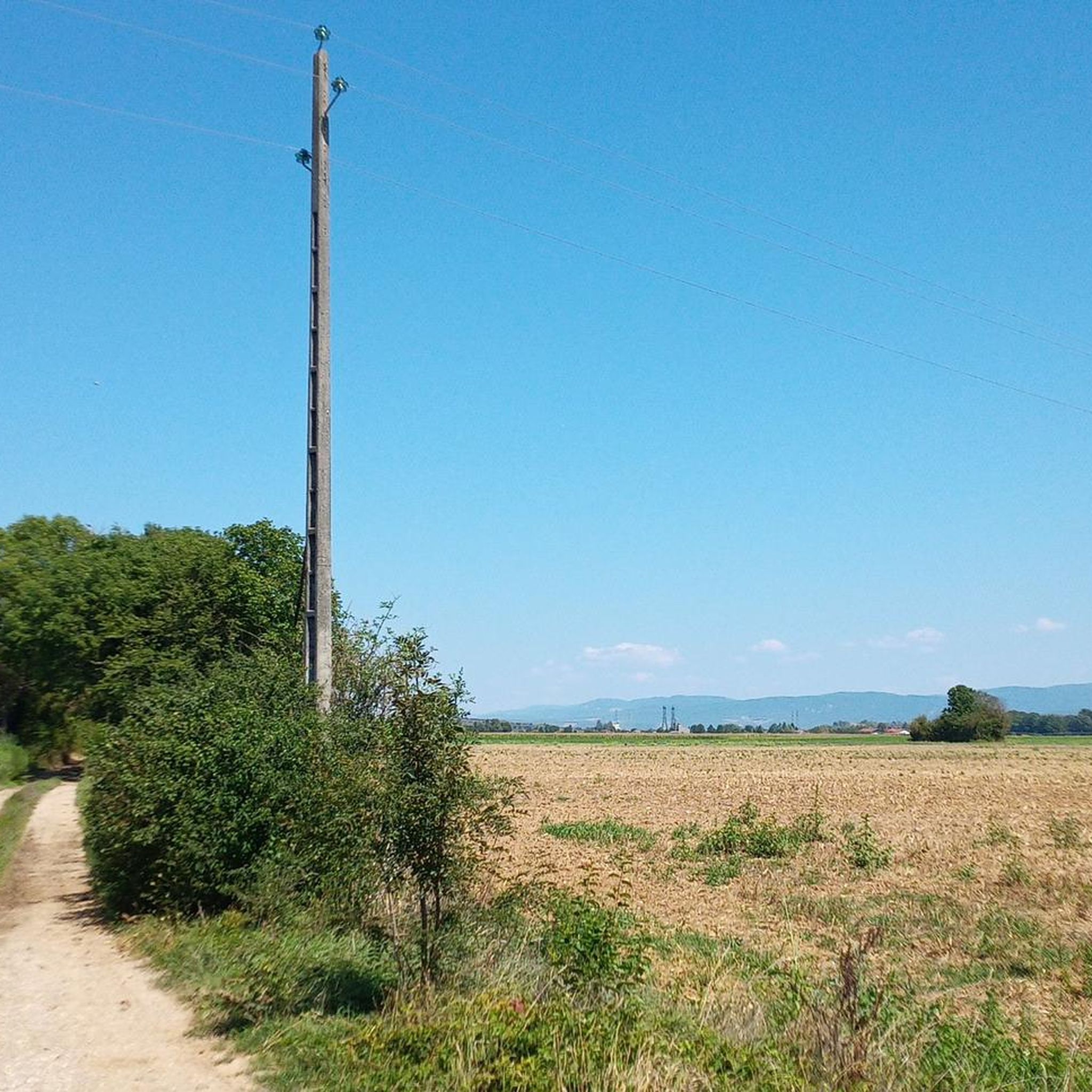
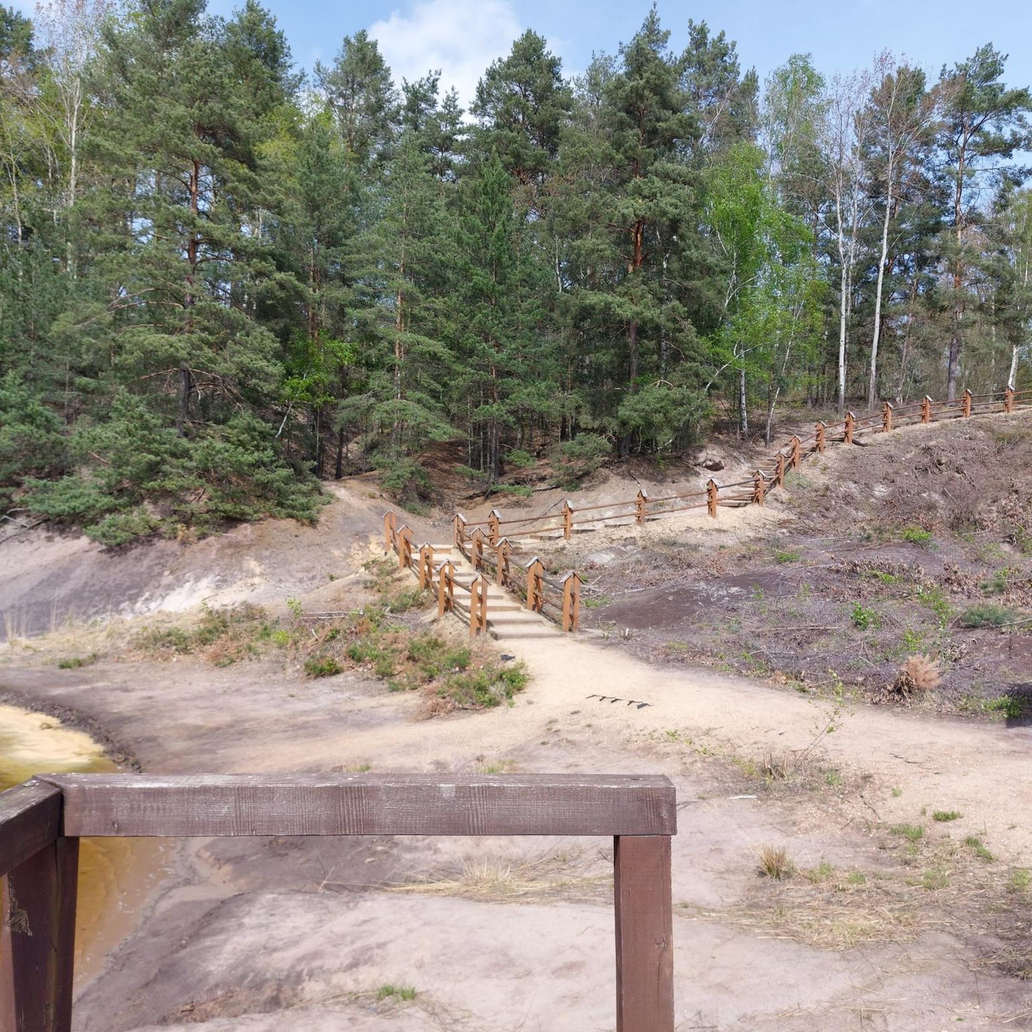

Tips from the Community

The commune of Vertrieu, located in the department of Isère within the Balcons du Dauphiné, has the unique particularity of housing two major historical buildings: the Château Vieux (or Maison-Forte) and the Château Neuf (or Château Moderne).
0
0
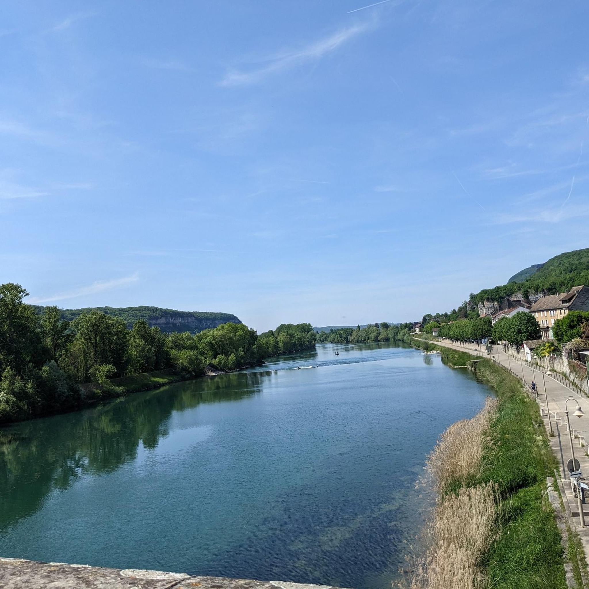
The Sault-Brénaz dam (also called Villebois dam or Sault-Brénaz facility) is an important hydroelectric infrastructure located on the Rhône River. It is situated on the border between the departments of Ain and Isère, mainly near the communes of Sault-Brénaz and Villebois. Commissioned in 1986, this structure was the last major facility built by the Compagnie Nationale du Rhône (CNR) on the upper Rhône.
0
0
The Sault-Brénaz dam (also called Villebois dam or Sault-Brénaz facility) is an important hydroelectric infrastructure located on the Rhône River. It lies on the border between the departments of Ain and Isère, mainly near the communes of Sault-Brénaz and Villebois. Commissioned in 1986, this structure was the last major development built by the Compagnie Nationale du Rhône (CNR) on the upper Rhône.
0
0
This rural village, bordered by the Rhône and the spectacular cliffs of Isle Crémieu, has just over 1,200 inhabitants (the Hiérois) and is part of the Balcons du Dauphiné community of municipalities.
0
0
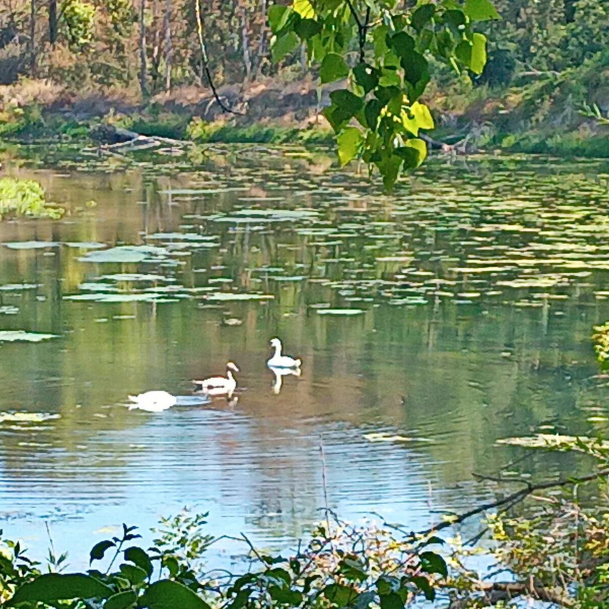
L'étang du Peillard is a charming small body of water located in the municipality of Saint-Romain-de-Jalionas, in the north of the Isère department, in the Auvergne-Rhône-Alpes region. It is located right next to the historic site of Moulin du Peillard.
0
0
Artisan breads, pastries, cakes, and savory snacks (sandwiches, quiches). Coffee area and outdoor tables, accessible to people with reduced mobility. Official Facebook page - The authentic bakery of Héloïse and Tony.
0
0

Very beautiful village with character, entirely made of stone; from the village, you can see the Madonna of the Larina Archaeological site.
0
0

cycle path very busy in good weather
1
0
Frequently Asked Questions
How many touring cycling routes are available around Loyettes?
There are over 240 touring cycling routes available around Loyettes, catering to various skill levels. This includes 64 easy routes, 125 moderate routes, and 58 difficult routes, ensuring options for everyone from beginners to experienced cyclists.
What do other touring cyclists enjoy most about the routes in Loyettes?
The touring cycling routes in Loyettes are highly rated by the komoot community, with an average score of 4.5 stars from over 400 reviews. Cyclists often praise the diverse landscapes, including riverside paths and greenways, and the blend of paved and gravel surfaces that offer varied riding experiences.
What is the best season for touring cycling in Loyettes?
Loyettes, located in the Auvergne-Rhône-Alpes region, offers pleasant cycling conditions through much of the year. Spring and autumn generally provide the most comfortable temperatures and beautiful scenery. Summer can be warm, especially along the Rhône, but shaded greenways offer respite. Winter cycling is possible, though some paths might be less maintained, and weather can be cooler.
Are there any easy touring cycling routes suitable for beginners or families in Loyettes?
Yes, Loyettes offers 64 easy touring cycling routes perfect for beginners or families. An excellent option is the Etang du peillard – Mollard-Reinard (Fontana) loop from Pont-de-Chéruy, which is 27 km long and leads through local ponds and rural areas, typically completed in about 1 hour 34 minutes.
Are there circular touring cycling routes available in Loyettes?
Many of the touring cycling routes around Loyettes are designed as loops, allowing you to start and finish in the same location. For example, the popular Ain/Rhône confluence loop from Chavanoz offers scenic views along the river confluence over 31.1 km.
What historical sites or landmarks can I explore along touring cycling routes near Loyettes?
While cycling around Loyettes, you can discover several historical sites. The medieval town of Crémieu, just 7.5 km away, is a classified Protected Area for Urban and Landscape Architectural Heritage. You can visit the Crémieu, medieval town itself or the Château Delphinal of Crémieu. Another notable landmark is Cingle Castle, which can be part of routes like the Hières-sur-Amby village – Cingle Castle loop from Loyettes.
Are there any natural attractions or scenic viewpoints to discover while cycling around Loyettes?
Absolutely. Loyettes is situated on the banks of the Rhône River, offering picturesque riverside rides. The region also features the Dombes area to the north-west, known for its thousands of small lakes and excellent bird-watching opportunities. For a unique natural exploration, consider visiting La Balme Caves, which are historical caves with a kilometer-long paved path for visitors.
What types of terrain can I expect on touring cycling routes in Loyettes?
The touring cycling routes in Loyettes offer a diverse mix of terrain. You'll find well-maintained paved roads, dedicated cycleways, and greenways that often utilize former railway lines. Some routes also feature gravel and loose gravel surfaces, particularly in rural areas or along certain river paths, providing a varied experience for touring cyclists.
Are there options for longer, more challenging touring cycling routes from Loyettes?
Yes, for those seeking a greater challenge, Loyettes serves as a starting point for longer and more demanding routes. There are 58 difficult routes in the area. While not listed in the top routes, the region's network includes extensive tours such as 'loyettes-rochegude' which covers 244.1 km with significant elevation gain, and routes like 'Loyettes to Lyons' spanning 44.5 km.
Can I find routes that follow greenways or riverside paths in Loyettes?
Yes, the Loyettes area is well-suited for cycling along greenways and riverside paths. The region's network includes routes along the Rhône River, and greenways like the one from Crémieu to Arandon-Passins, which offers pleasant, off-road cycling through gorges and woods on both paved and fine gravel surfaces. The Greenway from Crémieu to Arandon-Passins is a great example.
What are the typical durations for touring cycling routes around Loyettes?
The duration of touring cycling routes around Loyettes varies significantly depending on the distance and difficulty. Easy routes, like the Etang du peillard – Mollard-Reinard (Fontana) loop from Pont-de-Chéruy (27 km), can be completed in about 1 hour 34 minutes. Moderate routes, such as the Saint-Maurice Church – Hières-sur-Amby village loop from Saint-Maurice-de-Gourdans (61.9 km), typically take around 3 hours 38 minutes.
Most popular attractions around Loyettes

Get inspired with the komoot mobile app


Explore more
Browse the best Cycling routes in other regions.
