The best cycling routes around Villebois
4.4
(538)
3,938
riders
140
rides
Touring cycling routes around Villebois traverse a landscape shaped by the Rhône river, featuring dams, whitewater courses, and historical landmarks. The terrain includes varied elevations, from river valleys to areas offering views of castles and natural features. This region provides a mix of challenging climbs and more moderate paths suitable for different cycling preferences.
Best touring cycling routes around Villebois
- The most popular touring cycling route is Groslée Bridge – Whitewater course loop from Montalieu - Vallée Bleue, a…
Last updated: October 1, 2026
4.7
(20)
177
riders
Moderate bike ride. Good fitness required. Mostly paved surfaces. Suitable for all skill levels.
4.3
(3)
44
riders
Hard bike ride. Very good fitness required. Mostly paved surfaces. Suitable for all skill levels.

4.7
(3)
36
riders
56.5km
04:14
1,370m
1,370m
Hard bike ride. Very good fitness required. Mostly paved surfaces. Suitable for all skill levels.
5.0
(3)
39
riders
58.6km
04:02
1,060m
1,060m
Hard bike ride. Very good fitness required. Mostly paved surfaces. Suitable for all skill levels.
4.2
(5)
25
riders
Moderate bike ride. Good fitness required. Mostly paved surfaces. Suitable for all skill levels.
Get access to more routes and recommendations from other explorers.
Already have an account?
Our route recommendations are based on thousands of hikes, rides, and runs completed by other people on komoot.
Start today with a free account
Your next adventure awaits.
Tips from the Community

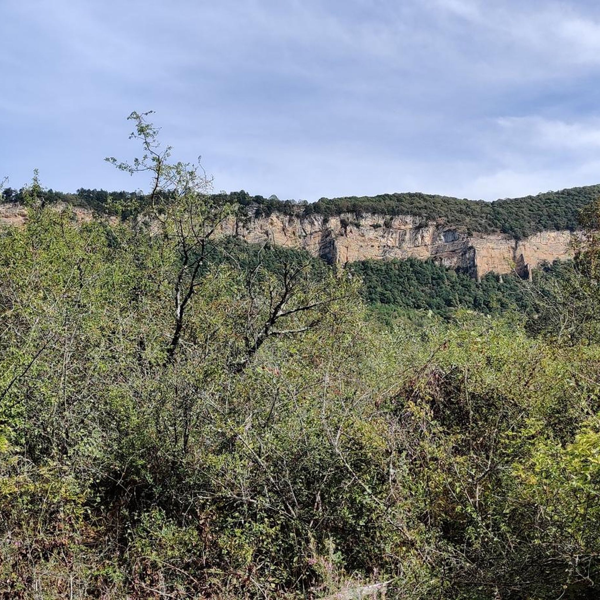
The commune of Vertrieu, located in the department of Isère within the Balcons du Dauphiné, has the unique particularity of housing two major historical buildings: the Château Vieux (or Maison-Forte) and the Château Neuf (or Château Moderne).
0
0
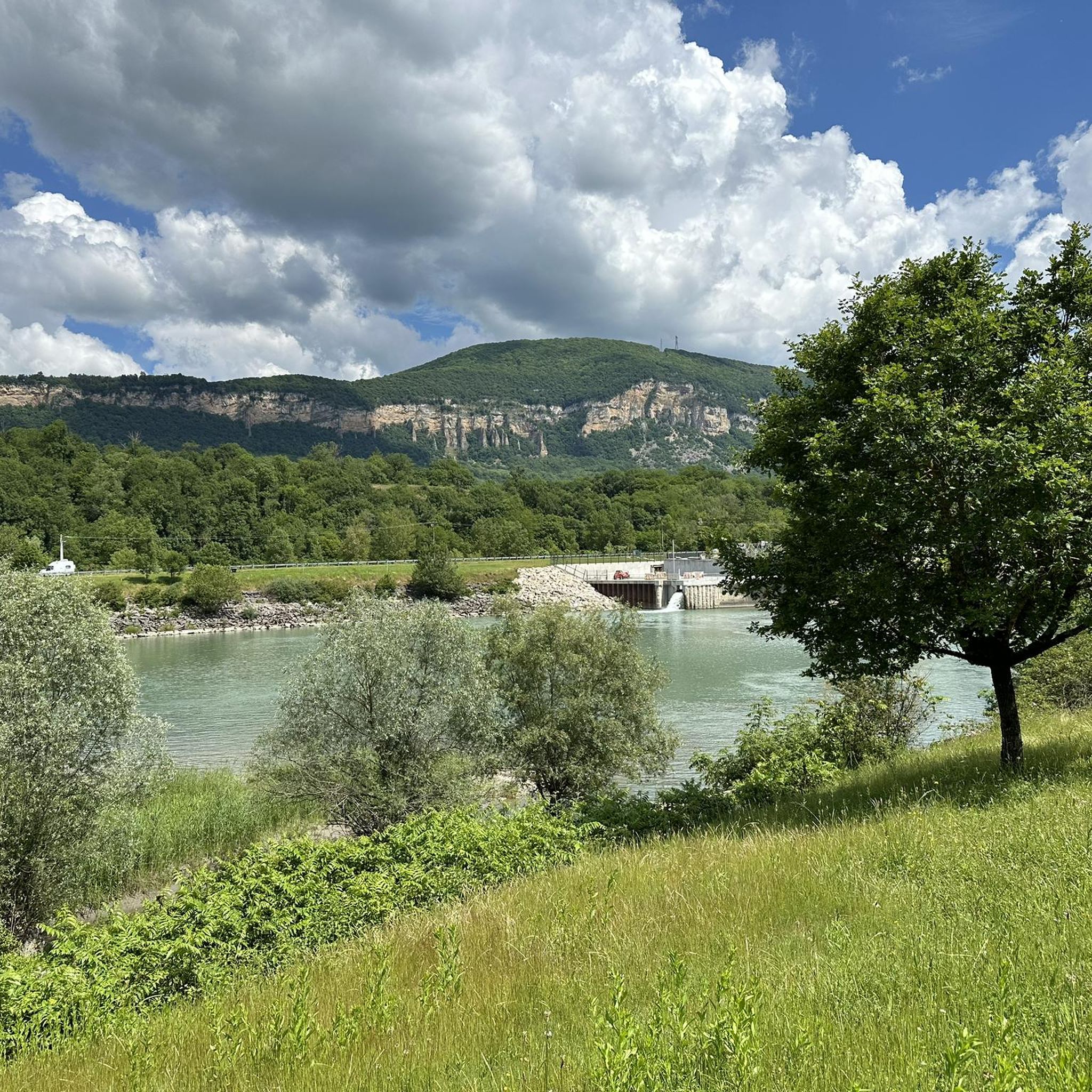
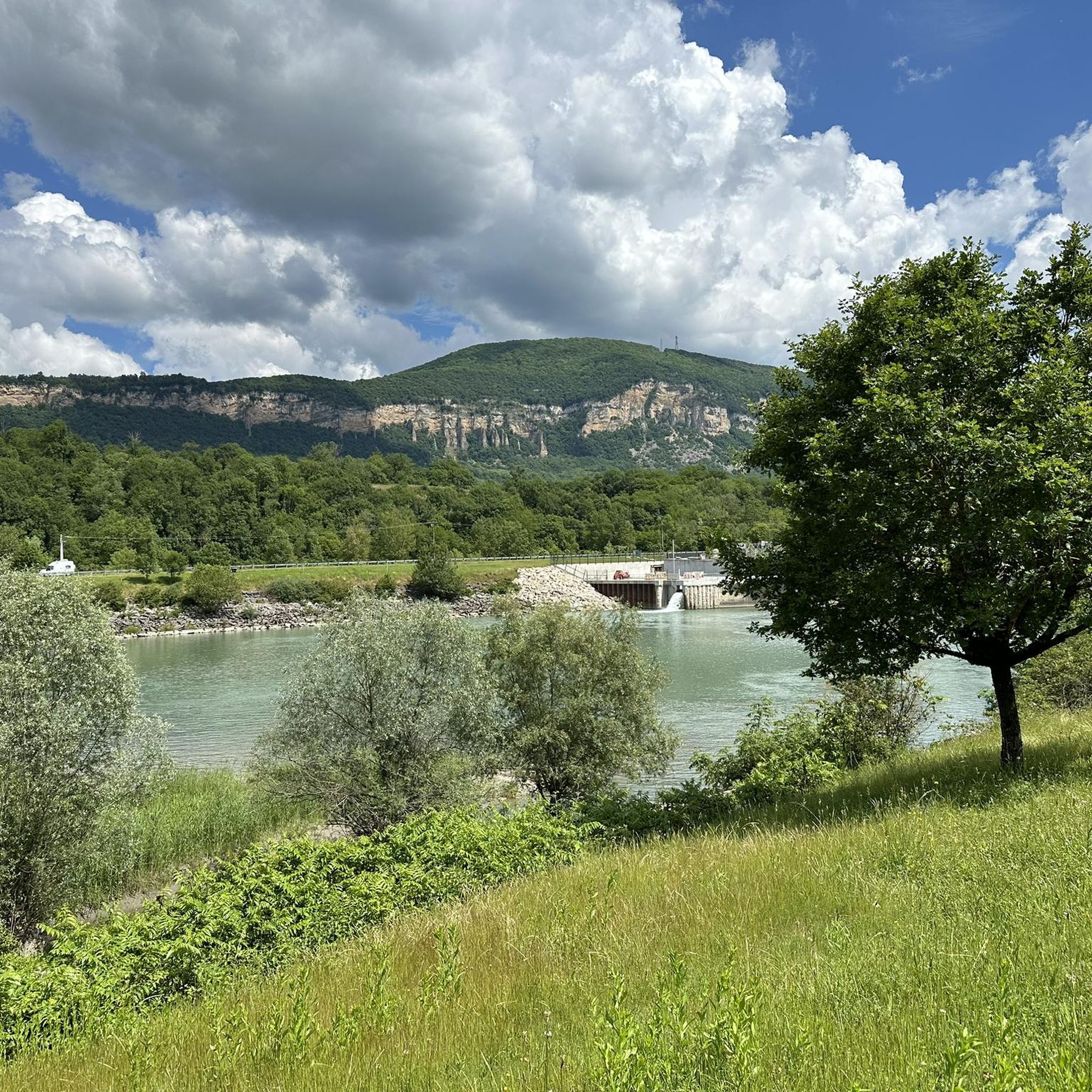
The Sault-Brénaz dam (also called Villebois dam or Sault-Brénaz facility) is an important hydroelectric infrastructure located on the Rhône River. It is situated on the border between the departments of Ain and Isère, mainly near the communes of Sault-Brénaz and Villebois. Commissioned in 1986, this structure was the last major facility built by the Compagnie Nationale du Rhône (CNR) on the upper Rhône.
0
0
The Sault-Brénaz dam (also called Villebois dam or Sault-Brénaz facility) is an important hydroelectric infrastructure located on the Rhône River. It lies on the border between the departments of Ain and Isère, mainly near the communes of Sault-Brénaz and Villebois. Commissioned in 1986, this structure was the last major development built by the Compagnie Nationale du Rhône (CNR) on the upper Rhône.
0
0
Located below the Château du Mollard, the Areymont spring was developed in 1838 with several basins and a large covered wash house, separated by the road. The nearby wayside cross dates from the 18th century. The Château du Molard, near the Place de la Halle, was built in the 16th century by the de la Forest and Paquelot families. The low arch of the entrance gate bears the date 1574 alongside the coats of arms of the two families. The Crozet family added a tower topped with a tall, pointed roof and two wings in 1878. https://patrimoines.ain.fr/n/saint-sorlin-en-bugey/n:393#:~:text=Le%20ch%C3%A2teau%20du%20Molard%2C%20pr%C3%A8s,et%20deux%20ailes%20en%201878.
0
0

cycle path very busy in good weather
1
0

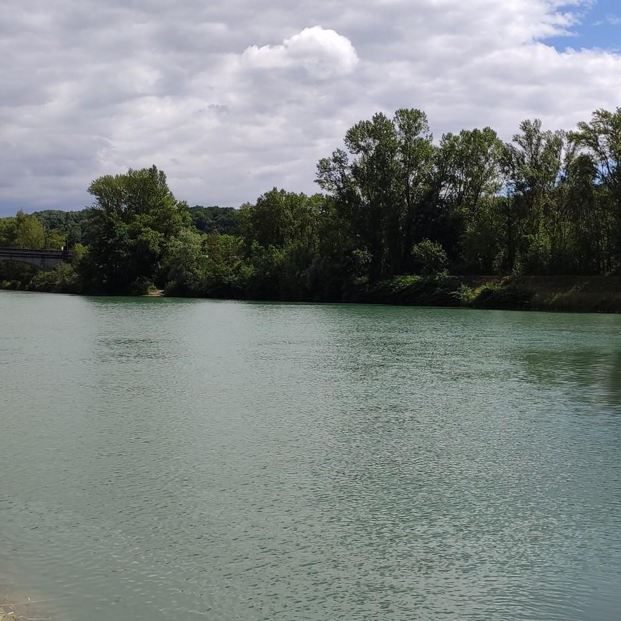
Beautiful view of the Rhône and the Jura mountains
0
0

Nice little café by the water 👍perfect for a coffee or snack break
0
0

The Groslée bridge is a suspension bridge crossing the Rhône between the municipalities of Groslée-Saint-Benoit (Ain) and Brangues (Isère). Designed by Ferdinand Arnodin and completed in 1912, it has a main span of 177.21 m in length. Source: Wikipedia
0
0
Frequently Asked Questions
What types of touring cycling routes can I find around Villebois?
The touring cycling routes around Villebois are primarily shaped by the Rhône river, offering a mix of river paths, varied elevations, and historical landmarks. You'll find routes ranging from moderate loops to more challenging long-distance rides, often featuring views of dams, whitewater courses, and castles. The region provides a diverse terrain suitable for different cycling preferences.
Are there any easy touring cycling routes suitable for beginners or families?
Yes, Villebois offers several easy touring cycling routes. For instance, the View of the Saut du Rhône loop from Sault-Brénaz is an easy 12 km (7.5 miles) path, perfect for a relaxed ride. Overall, 28 of the 145 available routes are classified as easy, providing gentle options for those new to touring cycling or cycling with family.
What kind of landmarks and attractions can I see along the touring cycling routes?
The routes around Villebois offer a rich blend of natural beauty and historical sites. You can encounter impressive natural features like the Brive Waterfall and the intriguing La Balme Caves. Historical landmarks include the Croix de Bramafan, Château Saint-Germain, and the scenic View of Vertrieu castle. Many routes, such as the View of Vertrieu castle – View of the Saut du Rhône loop from Montalieu - Vallée Bleue, specifically highlight these points of interest.
Are there any routes that feature waterfalls?
Yes, several routes in the Villebois area allow you to experience beautiful waterfalls. A notable option is the La Roche Waterfall – La Vanne d'Optevoz loop from Montalieu - Vallée Bleue, a challenging 43.1 km (26.8 miles) route that takes you past the stunning La Roche Waterfall.
What is the best time of year to go touring cycling in Villebois?
The region around Villebois, with its vineyards and forests, is generally pleasant for cycling from spring through autumn. Spring offers lush greenery and blooming landscapes, while autumn provides vibrant colors. Summer can be warm, but the river paths and shaded areas offer relief. Always check local weather conditions before heading out.
Are there circular touring cycling routes available?
Yes, many touring cycling routes around Villebois are designed as loops, allowing you to start and end at the same point. Examples include the popular Groslée Bridge – Whitewater course loop from Montalieu - Vallée Bleue and the Sault-Brénaz Dam – Whitewater course loop from La Source. These circular routes are convenient for day trips and exploring the diverse landscapes.
What do other touring cyclists enjoy most about cycling in Villebois?
The touring cycling routes in Villebois are highly rated by the komoot community, with an average score of 4.3 stars from over 440 reviews. Cyclists often praise the varied terrain, which includes scenic river paths, challenging climbs, and historical sites like castles. The blend of natural beauty and cultural heritage makes for a rewarding cycling experience.
Can I find cafes or places to stop for refreshments along the routes?
While specific cafes are not listed for every route, the region of Charente, where Villebois-Lavalette is located, is known for its charming villages and rural settings. Many routes pass through or near small towns where you can typically find local establishments for refreshments. Planning your route with komoot allows you to identify potential stops along the way.
Is public transport available to access the cycling routes?
The Charente region in France has a network of public transport, including regional trains and buses, that can connect to various towns and villages. While direct access to every trailhead by public transport might vary, major hubs near Villebois-Lavalette would likely offer connections. It's advisable to check local transport schedules for specific starting points.
Where can I park my car when accessing the touring cycling routes?
Parking availability will depend on your chosen starting point. Many routes begin in or near towns and villages like Montalieu - Vallée Bleue or Sault-Brénaz, where public parking is generally available. For routes starting in more rural areas, look for designated parking spots near trailheads or inquire locally. Always ensure you park responsibly and legally.
Are there any long-distance touring cycling routes in the area?
Yes, Villebois is situated in a region with excellent long-distance cycling opportunities. The broader Charente region features iconic routes like The Flow Vélo (290 km) and connections to The Vélodyssée, offering extensive journeys through diverse landscapes including vineyards, forests, and coastal areas. Within the immediate Villebois area, routes like the Groslée Bridge – Whitewater course loop from Montalieu - Vallée Bleue span nearly 98 km (60.8 miles), providing a significant challenge.
Most popular routes around Villebois
Most popular attractions around Villebois

Get inspired with the komoot mobile app


Explore more
Browse the best Cycling routes in other regions.
