The best road cycling routes around Villebois
4.4
(131)
2,945
riders
124
rides
Road cycling routes around Villebois, Oregon, offer access to the expansive Willamette Valley's scenic routes. The area features low-traffic country roads and dedicated bike paths, winding through agricultural lands, vineyards, and hop fields. Cyclists can experience a mix of gently rolling hills and flatter sections, with the Willamette River often paralleling routes. The landscape is framed by the Coast Range to the west and the Cascade Mountains to the east.
Best road cycling routes around Villebois
- The most popular road cycling route is View of the Saut du Rhône – La Balme Caves loop from La Source, a 34.7 miles (55.8 km) trail that takes 2 hours 15 minutes to complete. This moderate route features an elevation gain of 651 feet (198 meters).
- Another top favourite among local road cyclists is Montée vers le col de Portes – Montagnieu loop from Porcieu - Pont de Sault-Brénaz, a moderate 41.5 miles (66.8 km) path. This route includes an elevation gain of 1,849 feet (564 meters) and offers varied terrain.
- Local road cyclists also love the Portes Pass – Col de Fay loop from Porcieu - Pont de Sault-Brénaz, a 42.8 miles (68.9 km) trail leading through challenging terrain, often completed in about 3 hours 59 minutes.
- Road cycling around Villebois is defined by agricultural landscapes, river views, and gently rolling hills. The network offers options for different ability levels, from moderate rides to more difficult ascents.
- The routes in Villebois are highly rated by the komoot community with an average score of 4.5 stars from over 130 reviews. More than 2,700 road cyclists have used komoot to explore Villebois's varied terrain.
Last updated: May 23, 2026
5.0
(4)
110
riders
64.6km
03:59
1,770m
1,770m
Hard road ride. Very good fitness required. Mostly well-paved surfaces and easy to ride.
5.0
(1)
42
riders
70.6km
03:40
1,270m
1,270m
Hard road ride. Very good fitness required. Mostly well-paved surfaces and easy to ride.

Sign up for free
3.8
(5)
59
riders
Moderate road ride. Good fitness required. Mostly well-paved surfaces and easy to ride.
37
riders
Moderate road ride. Good fitness required. Mostly well-paved surfaces and easy to ride.
14
riders
29.6km
01:25
310m
310m
Moderate road ride. Good fitness required. Some segments of this route may be unpaved and difficult to ride.
Get access to more routes and recommendations from other explorers.
Sign up for free
Already have an account?
Our route recommendations are based on thousands of hikes, rides, and runs completed by other people on komoot.
Start today with a free account
Your next adventure awaits.
Login or Signup
Tips from the Community

Collonges This is the most important spring in the village. The washhouse was built on the foundations of the "Tour de la Fontaine", then enhanced in 1830 with an almost square building with a classical-style colonnade. It was classified as a Historic Monument in 1973. Like a sanctuary, it serves as a setting for the precious spring, symbolically represented by a statue of the Virgin Mary placed in a niche. The four-sided roof with a steep slope is covered with scale tiles topped with a weather vane. It was used to turn a walnut oil mill. https://saint-sorlin-en-bugey.info/decouvrir-le-village/sources-et-lavoirs/
0
0

cycle path very busy in good weather
0
0

Here is the route for the ascent of the Col de Fay starting from Vaux-en-Bugey
1
0

Beautiful and very wild without cars
0
0
A short climb that allows you to switch between the two villages, on one side the Albarine Green Way, on the other the start of the climb towards the Col de Porte!
1
0
All the information you need about the upcoming climb: length, average gradient, etc. A great initiative from the Ain Department.
1
0
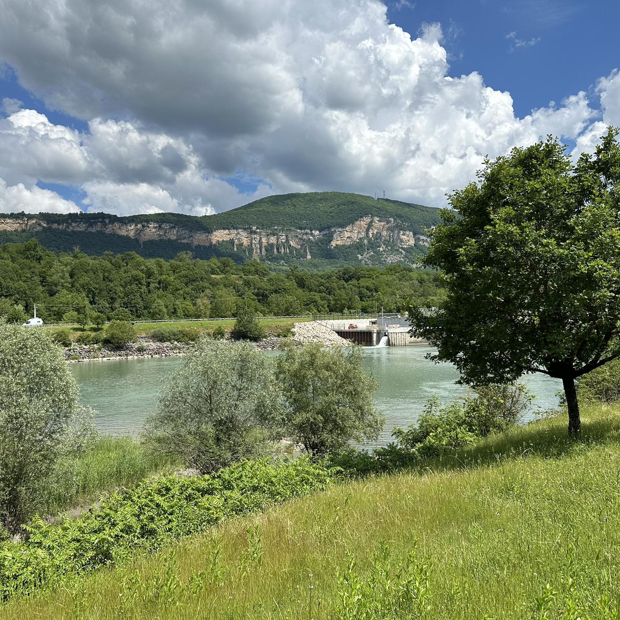
Belvedere with an impressive panorama that is worth the stop during the climb.
1
0
Frequently Asked Questions
How many road cycling routes are available around Villebois?
There are over 115 road cycling routes around Villebois, offering a wide range of options for different skill levels. This includes 15 easy routes, 77 moderate routes, and 23 difficult routes.
What kind of terrain can I expect on road cycling routes near Villebois?
Road cycling routes near Villebois primarily feature low-traffic country roads and dedicated bike paths. You'll encounter a mix of gently rolling hills and flatter sections, particularly along the Willamette Valley Scenic Bikeway. Some routes may include more challenging ascents, offering varied terrain for different preferences.
What are some scenic landmarks or points of interest along the road cycling routes?
Many routes wind through picturesque agricultural lands, including vineyards and hop fields, and often parallel the Willamette River. You can also explore significant historical landmarks such as the Champoeg State Heritage Area and Willamette Mission State Park, which are located along the Willamette Valley Scenic Bikeway. Graham Oaks Nature Park, nearby, also offers multi-use trails that can integrate into broader cycling plans.
What is the best time of year for road cycling in Villebois?
The Willamette Valley benefits from a temperate climate, making year-round biking possible. However, spring, summer, and fall are particularly enjoyable, showcasing amazing flower displays and local farmers markets. These seasons offer pleasant weather for exploring the region's diverse landscapes.
Are there any family-friendly road cycling options near Villebois?
Yes, Villebois and the surrounding area offer family-friendly cycling options. The community itself features local parks and multi-use paths like the Villebois Greenway. The broader Willamette Valley Scenic Bikeway includes sections with dedicated bike paths and low-traffic roads, suitable for families looking for a more relaxed ride.
What do other road cyclists enjoy most about cycling in Villebois?
The road cycling experience in Villebois is highly rated by the komoot community, with an average score of 4.5 stars from over 130 reviews. Cyclists often praise the agricultural landscapes, river views, and the mix of gently rolling hills, providing a diverse and engaging ride.
Are there any challenging road cycling routes for experienced riders?
Yes, for experienced riders seeking a challenge, routes like Portes Pass – Col de Fay loop from Porcieu - Pont de Sault-Brénaz offer difficult terrain and significant elevation gain, often taking around 4 hours to complete. Another demanding option is Vaux-en-Bugey – Bosse de Vaux-Bettand loop from Porcieu - Pont de Sault-Brénaz, which includes over 900 meters of elevation gain.
Can I access road cycling routes using public transport from Villebois?
Yes, public transportation options are available. SMART Transit Route 7 serves Villebois, which can aid in accessing wider cycling areas and connecting to various routes within the region. This can be useful for extending your cycling range or for one-way trips.
Are there any long-distance road cycling routes available?
For longer rides, the Willamette Valley Scenic Bikeway offers an extensive route stretching over 100 miles, characterized by low-traffic country back roads and dedicated bike paths. Within the komoot selection, a notable long-distance option is Bosse de Vaux-Bettand – Vaux-en-Bugey loop from La Source, which covers nearly 130 kilometers and features substantial elevation gain.
What are the typical elevations on road cycling routes around Villebois?
Elevations vary significantly depending on the route. Many routes feature gently rolling hills, while others, particularly those classified as difficult, can include substantial climbs. For example, the Montée vers le col de Portes – Montagnieu loop from Porcieu - Pont de Sault-Brénaz has an elevation gain of over 560 meters, while the View of the Saut du Rhône – La Balme Caves loop from La Source has a more moderate gain of around 200 meters.
Are there efforts to improve bike connectivity in the Villebois area?
Yes, there are ongoing efforts to enhance bike connectivity. Projects like the Ice Age Tonquin Trail extension and the Villebois Drive extension are aimed at improving the network with sidewalks, bikeways, and trails, further integrating Villebois with the broader cycling infrastructure of Wilsonville. More information can be found on the Wilsonville city website.
Most popular attractions around Villebois

Get inspired with the komoot mobile app


Explore more
Browse the best Road cycling routes in other regions.
