The best road cycling routes around Saint-Romain-De-Benet
4.3
(34)
788
riders
175
rides
Road cycling routes around Saint-Romain-De-Benet traverse a diverse landscape in the Charente-Maritime department of southwestern France. The region features extensive vineyards and agricultural fields, offering routes through the Saintonge countryside with gently rolling terrain. Cyclists will also find shaded paths through woodlands and can access coastal areas and estuaries, including the Gironde estuary and Seudre marshes. The topography includes rolling hills, providing moderate elevation changes.
Best road cycling routes around Saint-Romain-De-Benet
- The most popular road cycling route is Seudre Bridge…
Last updated: November 3, 2026
24
riders
56.0km
02:25
360m
360m
Moderate road ride. Good fitness required. Mostly well-paved surfaces and easy to ride.
18
riders
9.59km
00:28
30m
30m
Easy road ride. Mostly well-paved surfaces and easy to ride.

4.0
(3)
15
riders
40.5km
01:43
220m
220m
Easy road ride. Mostly well-paved surfaces and easy to ride.
6
riders
Moderate road ride. Good fitness required. Some segments of this route may be unpaved and difficult to ride.
8
riders
56.9km
02:27
210m
210m
Moderate road ride. Good fitness required. Mostly well-paved surfaces and easy to ride.
Get access to more routes and recommendations from other explorers.
Already have an account?
Our route recommendations are based on thousands of hikes, rides, and runs completed by other people on komoot.
Start today with a free account
Your next adventure awaits.
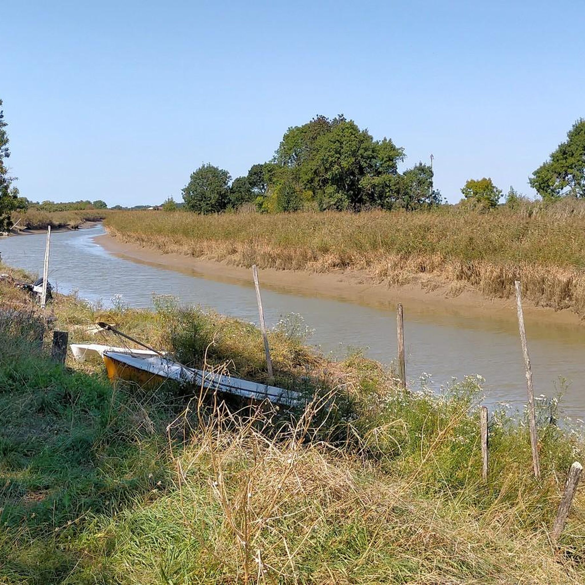
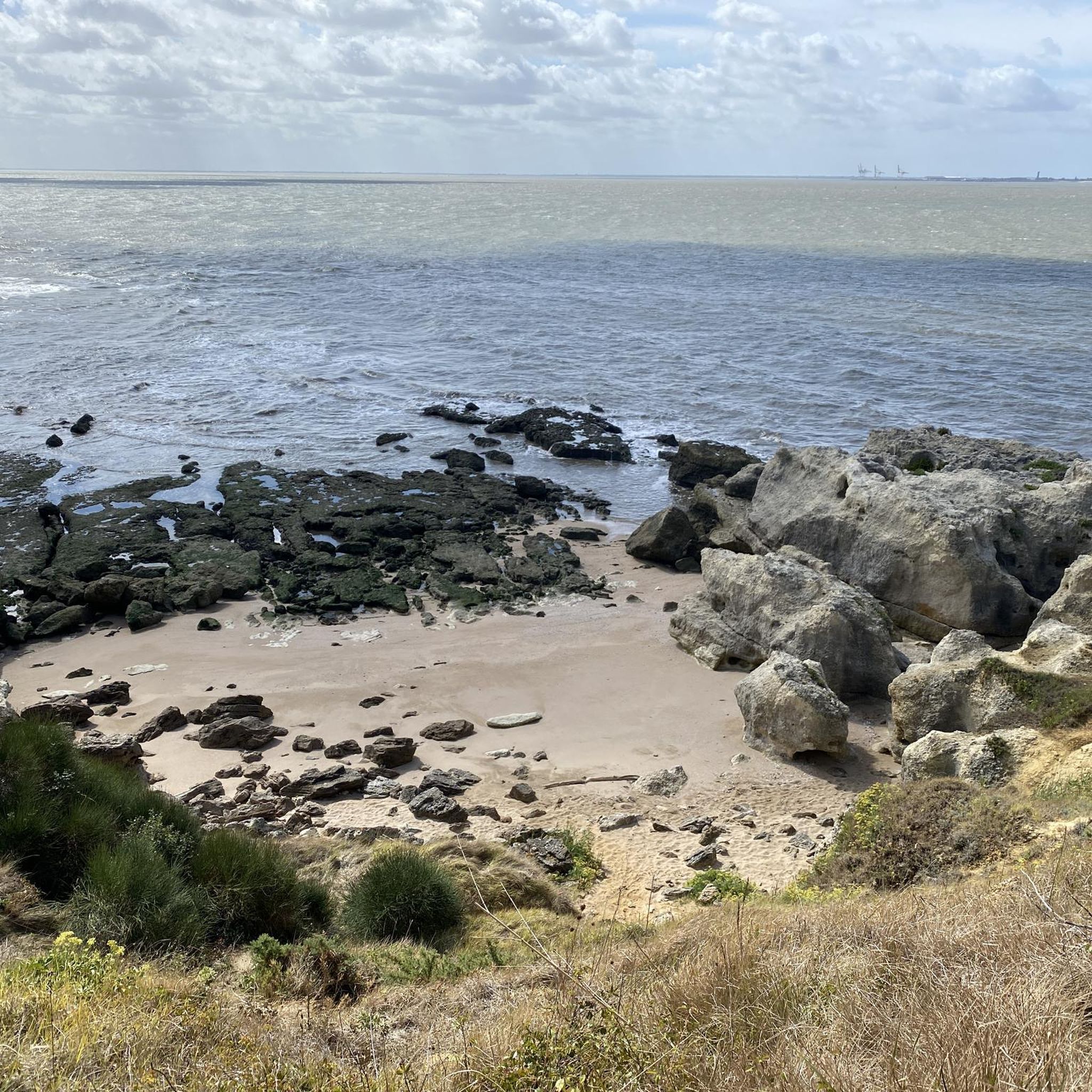
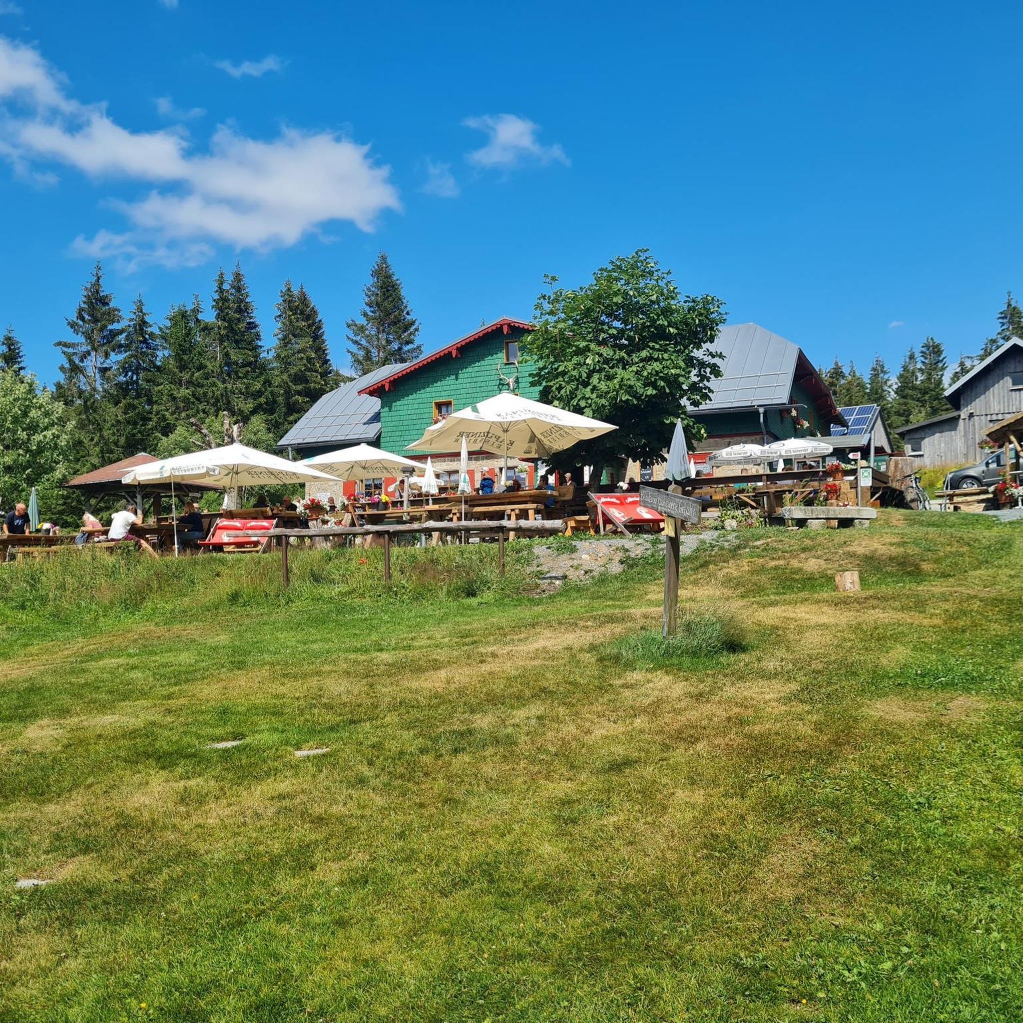
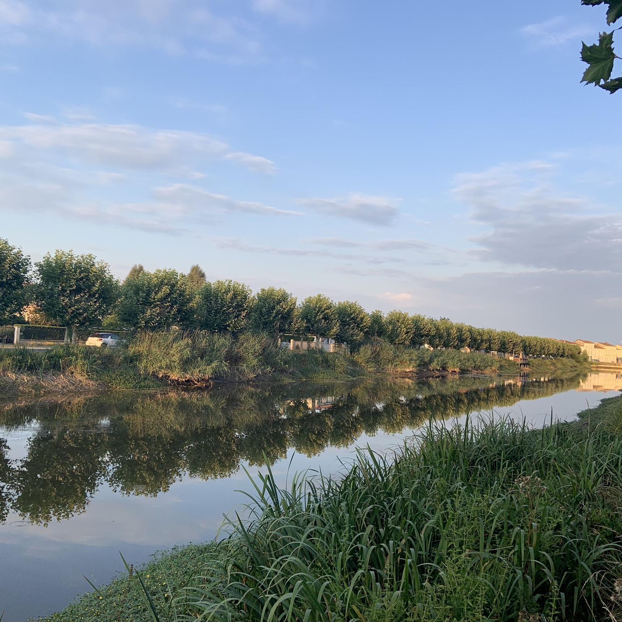

Tips from the Community

Located on the commune of St-Palais-sur-Mer, at the tip of Terre-Nègre, it is intended to mark the southern passage of the Gironde estuary and to signal the presence of a dangerous sandbank, the la barre à l'Anglais.
0
0

The carrelets of Saint-Palais-sur-Mer are among the most emblematic elements of the Charente coastline. Their history blends traditional fishing, tourist development, and local heritage. 🐟 Origin of the carrelets Originally, the word "carrelet" referred to a square fishing net used since the 17th century. A precise description can be found as early as 1769, in the writings of the scholar Henri-Louis Duhamel du Monceau, who mentioned this type of fishing on the Saintonge coast. 👉 At that time, these were not yet the current huts, but simply a net operated from rudimentary structures. ⚓ Artisanal fishing structures The first local carrelets were simple wooden platforms, built by the fishermen themselves to stand above the water. They were mainly used to catch shrimp, fish, and crabs near the shore, without going out to sea. 👉 It was a family and coastal fishery, less dangerous than sea fishing. 🏖️ 19th – early 20th century: transition to a leisure activity At the turn of the 20th century, with the rise of seaside resorts like Saint-Palais, the carrelets evolved. Holidaymakers and notable figures adopted this practice: construction of fixed jetties, appearance of huts on stilts. The carrelets then became places for relaxation as much as for fishing. 👉 They already contributed to the postcard image of the coast. 🪵 After 1945: democratization and multiplication After the Second World War, the number of carrelets increased sharply. They became a symbol of popular leisure and conviviality. The transition was gradually made from a means of subsistence to a recreational activity. 🌊 Storms and reconstruction The carrelets are fragile in the face of storms: 1999: massive destruction (up to 90% in some areas) 2010 (Xynthia storm): new damage Many have been rebuilt identically, respecting tradition. 🏛️ Today: protected heritage In Charente-Maritime, there are about 400 carrelets. They are: integrated into the public maritime domain allocated by administrative authorization (often renewed every 5 years) Since 2018, they have been recognized as cultural heritage of the department. 👉 In Saint-Palais, they can be observed in particular: at Pont du Diable at the conche du Concié at the Puits de l’Auture
0
0

Here you'll find a romantic little lighthouse, and behind it lies a garden with a bench overlooking the sea, a lovely place to stop for a break. Afterwards, you can continue along the cliff to the right until you reach Euro Velo 1 again.
0
0

Easily accessible place, only the last meters are prohibited for cyclists.
0
0

Perfect beachside bike trail along the boulevard, with several rest stops with seating and beach acces.
0
0
The port of Royan is located between the Foncillon district and the Grande Conche beach, in the heart of the city. Ideally located at the mouth of the Gironde, in the immediate vicinity of the Atlantic Ocean and opposite Port-Médoc, it consists of a marina with a thousand rings and a fishing port, specializing in “noble” species (sole, meagre, sea bass, etc.). You will find the harbor master's office, the Fishing Port and the auction, as well as a covered shopping arcade, “Les voûtes du Port”, which extends the shopping arcades of the “Front de Mer”. Port, 1100 sheltered places – Reception pontoon – Secure pontoons. Access pass is 0.30 m above the zero of the nautical charts. Basins after dredging 2.30 m from the zero of the nautical charts. Services: water, electricity (220 V) on pontoon, toilets, WC, showers, handling in closed technical area, recovery of careening water, grey water and black water pumps, maintenance and ship repair workshops, ship chandlers on the port, wifi, 24/24 CB fuel, slipway. V.H.F. 9. The port is sheltered from all winds because it is protected by the landing stage of the ferries which ensure the crossing of the Gironde for the crossings to the Pointe de Grave/Le Verdon-sur-Mer.
1
0

On the beach of Royan (20,000 inhabitants). This is where the boat that takes you across the Gironde docks/departs.
0
0
The Terre-Nègre lighthouse is a landmark forming a cylindrical tower a little over 26 meters high. Located on the Pointe de Terre-Nègre, in the commune of Saint-Palais-sur-Mer, in Charente-Maritime, it is intended to mark the southern passage of the Gironde estuary and to signal the presence of a dangerous sandbank, the "barre à l'Anglais". This building forms a column tower 3.16 meters in diameter and 26.60 meters high. A spiral staircase with a central core of 143 steps leads to a top platform equipped with a directional light. The tower is painted in two different colors to make it more visible: the upper part is red, the lower part is white. The base of the lighthouse is hidden by a building that once served as the keeper's living quarters. The installation of a landmark at this location was considered as early as 1763. De Kearney took up the marking plan four years later. Construction of the tower began in 1770 and was completed in 1773, probably under the direction of the Bordeaux engineer Claude Tardy. In 1807, the tower was raised. However, these works were considered insufficient by some of the estuary's navigators. In 1834, sailors from the nearby port of Royan sent a request to the Ministry of the Navy to study the possibility of equipping the tower with a light. However, this request was postponed the following year due to a lack of sufficient funds. A new request from the sailors prompted the lighthouse commission to test a first light in 1836. Finally, on October 15, 1838, a 4th-order fixed white light was installed permanently. The latter was replaced in 1856 by a 4th-order small dioptric model fixed white light with a 5th-order catoptric reinforced sector. It was equipped with new lights in 1899 and 1904. In 1939, it was electrified. During the German occupation, the lighthouse served as an observatory for Wehrmacht soldiers. Damaged during the fighting in 1945 (presence of breaches at the top of the tower), it was restored in the immediate post-war period. In March 1947, the lighthouse was operational again. A light with 3 occultations — changing every 12 seconds — was put in place. Its colors are white, red, and green. Its current range is 18 miles. Listed as a Historic Monument since 2011, the lighthouse is not open to visitors. However, it can be admired from the outside and a lovely path allows direct access to the coastal trail.
0
0
Frequently Asked Questions
How many road cycling routes are available around Saint-Romain-de-Benet?
There are over 160 road cycling routes available around Saint-Romain-de-Benet, catering to various skill levels. This includes 63 easy routes, 94 moderate routes, and 3 difficult routes for experienced cyclists.
What kind of terrain can I expect when road cycling near Saint-Romain-de-Benet?
The region offers a diverse landscape for road cycling. You'll find routes traversing extensive vineyards and agricultural fields with gently rolling terrain, shaded paths through woodlands, and access to coastal areas and estuaries like the Gironde estuary and Seudre marshes. The topography includes moderate rolling hills, providing engaging elevation changes without overly strenuous climbs.
When is the best time of year for road cycling in Saint-Romain-de-Benet?
The spring and autumn months generally offer the most pleasant conditions for road cycling, with mild temperatures and beautiful scenery. Summer can be warm, especially in the open vineyards, but coastal routes may offer a refreshing breeze. Winter cycling is possible, but conditions can be cooler and wetter.
Are there options for beginner road cyclists?
Yes, Saint-Romain-de-Benet offers a good selection of routes suitable for beginners. There are 63 easy routes available, such as the Sablonceaux Abbey – Too bō loop from Sablonceaux, which is just over 9 km with minimal elevation changes, perfect for a relaxed ride.
What historical or cultural landmarks can I see along road cycling routes?
Many routes allow you to explore the rich history of the region. You can cycle past the ancient Pirelonge Tower, a Gallo-Roman funerary monument, or trace old Roman roads. The area also features charming churches, such as the Saint-Romain Church of Saint-Romain-de-Benet, and nearby abbeys like Sablonceaux. Characterful villages such as Mornac-sur-Seudre and Talmont-sur-Gironde are also accessible by bike.
Are there any scenic viewpoints or natural features to look out for?
Absolutely. Cyclists can enjoy panoramic views across vineyards and agricultural fields. Routes often lead to the picturesque Gironde estuary and the tranquil Seudre marshes. Coastal paths near Royan and La Palmyre offer sea breezes and scenic vistas. The Coubre Lighthouse – Notre-Dame Church, Royan loop from Saujon, for example, includes stunning coastal views.
Are there any circular road cycling routes starting from Saint-Romain-de-Benet?
Yes, there are several circular routes available. For instance, the Regulus Caves – View of cabanes à carrelet loop from Saint-Romain-de-Benet is a moderate 52 km loop that starts directly from the village, offering a great way to explore the local area and its unique features.
Can I access major cycling itineraries like the Vélodyssée or Canal des 2 Mers à vélo from Saint-Romain-de-Benet?
Yes, Saint-Romain-de-Benet is an excellent base for connecting to these major routes. You can easily join the Vélodyssée towards coastal destinations like Royan or La Palmyre, or access the Canal des 2 Mers à vélo for journeys through marshes, vineyards, and traditional villages towards Saintes and Port-d'Envaux.
What are the parking options for road cyclists near Saint-Romain-de-Benet?
Parking is generally available in Saint-Romain-de-Benet and in nearby towns like Saujon, which serve as common starting points for many routes. Specific parking details can often be found on individual route descriptions on komoot.
Is public transport available to Saint-Romain-de-Benet for cyclists with bikes?
While Saint-Romain-de-Benet is a smaller commune, regional bus services connect it to larger towns like Saintes and Royan. It's advisable to check with the local transport providers regarding their policies for carrying bicycles, as space can be limited, especially during peak times.
Are there places to stop for refreshments or accommodation along the routes?
Yes, cycling through the region allows for stops in charming villages and towns where you can find local cafes, restaurants, and accommodation. Mornac-sur-Seudre and Talmont-sur-Gironde, both recognized as 'Most Beautiful Villages of France', are excellent places for a break and offer local amenities.
What do other road cyclists say about the routes in Saint-Romain-de-Benet?
The road cycling routes around Saint-Romain-de-Benet are highly rated by the komoot community, with an average score of 4.3 stars from over 30 reviews. More than 700 road cyclists have explored the varied terrain, often praising the scenic vineyards, coastal views, and the network's suitability for different ability levels.
Are there any long-distance road cycling routes available?
Yes, the region offers several longer routes. For example, the Coubre Lighthouse – Notre-Dame Church, Royan loop from Saujon is a moderate 89.9 km route, and the Seudre Bridge – Mornac-sur-Seudre loop from Saujon covers 72.9 km, providing excellent options for longer rides.
Most popular routes around Saint-Romain-De-Benet
Most popular attractions around Saint-Romain-De-Benet

Get inspired with the komoot mobile app


Explore more
Browse the best Road cycling routes in other regions.
