The best running trails around Onglières
4.6
(40)
1,384
runners
139
runs
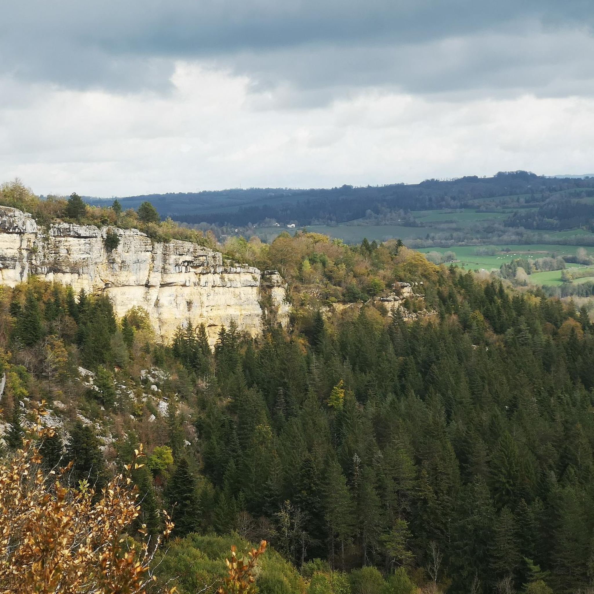
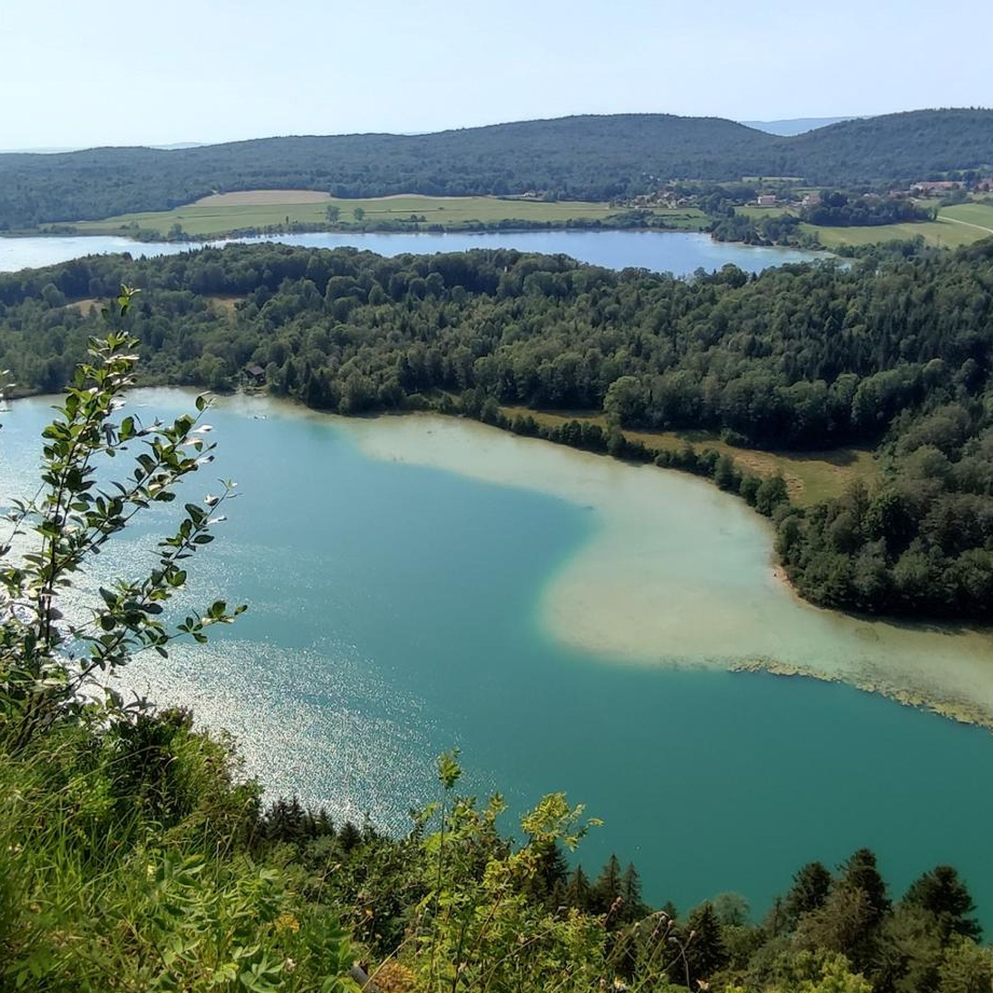
Jogging around Onglières offers routes through a landscape characterized by river valleys, dense woodlands, and notable waterfalls. The region's terrain includes varied elevations, providing options from gentle paths to more challenging ascents. Many running routes follow the course of the Ain river and its tributaries, often leading to scenic natural features.
Best jogging routes around Onglières
- The most popular jogging route is Maillys Falls loop from Doye, a 16.3 miles (26.2 km) trail that takes 3 hours 18 minutes…
Last updated: October 9, 2026
25
runners
30.2km
03:46
750m
750m
Hard run. Very good fitness required. Mostly paved surfaces. Suitable for all skill levels.
5.0
(2)
21
runners
Moderate run. Good fitness required. Mostly paved surfaces. Suitable for all skill levels.

5.0
(2)
13
runners
4.16km
00:32
100m
100m
Moderate run. Good fitness required. Mostly paved surfaces. Suitable for all skill levels.
5.0
(1)
17
runners
15.5km
01:53
330m
330m
Hard run. Very good fitness required. Mostly paved surfaces. Suitable for all skill levels.
7
runners
14.3km
01:46
420m
420m
Hard run. Very good fitness required. Mostly paved surfaces. Suitable for all skill levels.
Get access to more routes and recommendations from other explorers.
Already have an account?
Our route recommendations are based on thousands of hikes, rides, and runs completed by other people on komoot.
Start today with a free account
Your next adventure awaits.

Tips from the Community

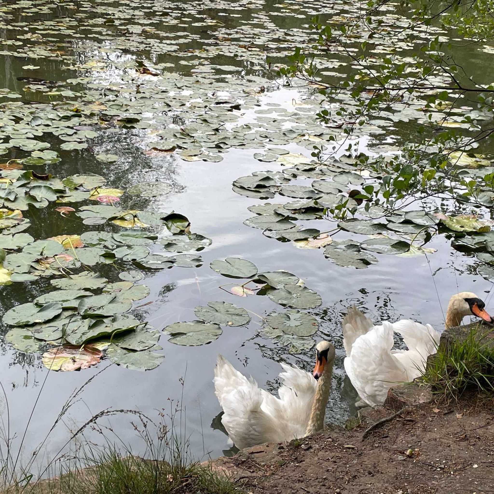
The Serpentine, (first tributary of the Ain river whose source is located a little higher) forms a small lake near the ruins of a mill. It is from a cornice that this beautiful natural waterfall 15 meters high comes to life when the water level is sufficient.
1
0

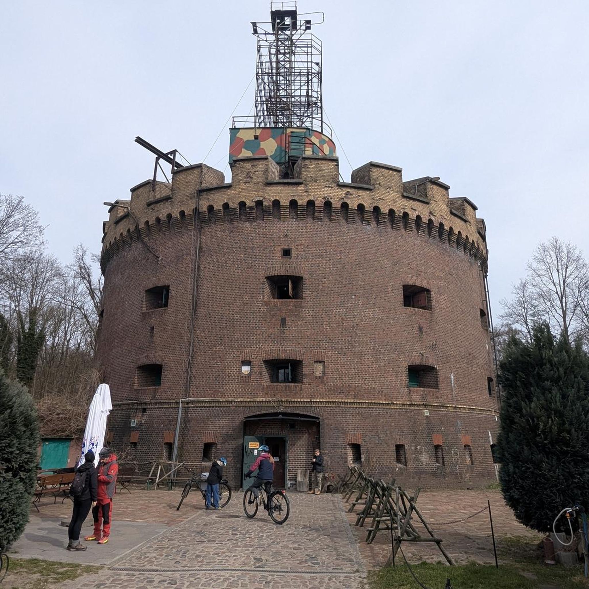
This city in the Middle Ages was a highly strategic place. For more than 300 years, from the 13th to the 16th century, its inhabitants controlled the commercial exploitation of salt by establishing rights of passage for merchants who went to Switzerland. So you will find in its center many beautiful period houses, irrefutable testimonies of this ancient wealth. The castle of the princes of Oranges was destroyed, and did not stand the test of time.
0
0

Very impressive, about 1 km walk from the parking lot nearby, swimming not possible and not recommended
0
0

Ain Falls
0
0

At the source of the Ain, you will find footbridges and interpretation panels to help you navigate and understand the site. A beautiful and relaxing place to take a break from your run.
2
0
From a small lake at the level of the mill, the river continues before cascading over a 15 meter high ledge. An amazing waterfall.
3
0
This city in the Middle Ages was a highly strategic place. For more than 300 years, from the 13th to the 16th century, its inhabitants controlled the commercial exploitation of salt by establishing rights of passage for merchants who went to Switzerland. So you will find in its center many beautiful period houses, irrefutable testimonies of this ancient wealth. The castle of the princes of Oranges was destroyed, and did not stand the test of time.
2
0
Frequently Asked Questions
How many running routes are available in Onglières?
There are over 130 running routes around Onglières, catering to various fitness levels. You'll find a good mix of easy, moderate, and difficult trails to explore.
Are there easy running routes suitable for beginners in Onglières?
Yes, Onglières offers 13 easy running routes perfect for beginners or those looking for a more relaxed pace. These paths often follow gentle river valleys, providing a pleasant introduction to the region's natural beauty.
What kind of terrain can I expect on the running trails in Onglières?
The terrain in Onglières is diverse, featuring river valleys, dense woodlands, and notable waterfalls. You'll encounter varied elevations, from gentle paths along the Ain river to more challenging ascents, providing a dynamic running experience.
Are there any shorter running trails for a quick workout in Onglières?
Absolutely. For a quicker run, consider the Moulin du Saut Waterfall – Waterfall at the Source of the Ain loop from Doye, which is about 4.3 km. Another option is the Waterfall at the Source of the Ain – Source de la rivière d'Ain loop from Conte, a moderate 5.3 km path.
What can I see along the running routes in Onglières?
Many routes lead to scenic natural features, especially waterfalls and the source of the Ain river. You can also discover landmarks like the Moulin du Saut Waterfall, the Ain Spring, and the Pertes de l'Ain.
Are there any running routes that feature waterfalls?
Yes, waterfalls are a prominent feature of the running landscape in Onglières. The Maillys Falls loop from Doye is a longer route that leads to the impressive Maillys Falls. Shorter options include the Moulin du Saut Waterfall – Waterfall at the Source of the Ain loop from Doye.
Are there circular running routes available in Onglières?
Many of the running trails in Onglières are designed as loops, allowing you to start and finish at the same point. Examples include the The Source of the Ain – Maillys Falls loop from Nozeroy and the Roches de Nans – Grotte de la Doye loop from Onglières.
What do other runners enjoy most about jogging in Onglières?
The running routes in Onglières are highly rated by the komoot community, with an average score of 4.3 stars from over 30 reviews. Runners often praise the numerous waterfalls, river sources, and forested paths that define the region's unique running experience.
Is Onglières suitable for experienced runners looking for a challenge?
Certainly. Onglières offers 33 difficult running routes with significant elevation changes, providing a good challenge for experienced runners. The Maillys Falls loop from Doye, for instance, features over 680 meters of elevation gain.
Are there any historical or cultural landmarks near the running trails?
While the focus is on natural beauty, you can find historical points of interest nearby. The medieval town of Nozeroy is accessible from some routes, and the Syam Castle and Ironworks is another notable site in the wider region.
What is the best time of year for running in Onglières?
The region's diverse landscape makes it enjoyable for running throughout much of the year. Spring and autumn offer pleasant temperatures and vibrant scenery, while summer provides lush green views. Winter running is also possible, though conditions may vary, especially on higher trails.
Are there any running routes that follow the Ain river?
Yes, many running routes in Onglières follow the course of the Ain river and its tributaries. These paths often lead to the river's source and various cascades, offering beautiful waterside views and a refreshing running environment.
Most popular attractions around Onglières

Get inspired with the komoot mobile app


Explore more
Browse the best Running Trails & Routes in other regions.
