The best cycling routes around Morette
4.4
(138)
2,082
riders
164
rides
Touring cycling routes around Morette traverse a landscape characterized by varied elevation, from gentle valley paths to more challenging mountain passes. The region features a mix of open views and routes that navigate through areas with notable climbs, such as the Parménie Pass and Col de Châtain. Many routes offer scenic viewpoints and loops through the local terrain.
Best touring cycling routes around Morette
- The most popular touring cycling route is La Belle Via: Tullins Loop, a 18.9 miles…
Last updated: October 4, 2026
4.8
(8)
45
riders
30.4km
01:47
150m
150m
Easy bike ride. Great for any fitness level. Mostly paved surfaces. Suitable for all skill levels.
27
riders
24.8km
01:47
440m
440m
Moderate bike ride. Good fitness required. Mostly paved surfaces. Suitable for all skill levels.

4.0
(1)
28
riders
66.9km
04:11
660m
660m
Hard bike ride. Very good fitness required. Mostly paved surfaces. Suitable for all skill levels.
5.0
(1)
18
riders
33.5km
02:31
810m
810m
Hard bike ride. Very good fitness required. Mostly paved surfaces. Suitable for all skill levels.
5.0
(4)
16
riders
48.4km
03:09
520m
520m
Hard bike ride. Very good fitness required. Mostly paved surfaces. Suitable for all skill levels.
Get access to more routes and recommendations from other explorers.
Already have an account?
Our route recommendations are based on thousands of hikes, rides, and runs completed by other people on komoot.
Start today with a free account
Your next adventure awaits.

Tips from the Community

A 14 km greenway allows for walks on the eastern bank. The complete circuit of the lake on foot or by mountain bike is a route of about 29 km through the surrounding hills.
0
0
A 14 km greenway allows for walks on the eastern shore. The complete circuit of the lake on foot or by mountain bike is a route of about 29 km through the surrounding hills.
0
0
A 14 km greenway allows for a stroll along the eastern shore. The complete circuit of the lake on foot or by mountain bike is a route of about 29 km through the surrounding hills.
0
0
A 14 km greenway allows for walks on the eastern bank. The complete circuit of the lake on foot or by mountain bike is a route of about 29 km through the surrounding hills.
0
0

A laid out flat, with occasional views of the Isère and the ver c ors, but frankly a bit boring and frankly along the highway. The crossed rest area looked nice but was crowded with people. The charging and repair station was out of order.
0
0
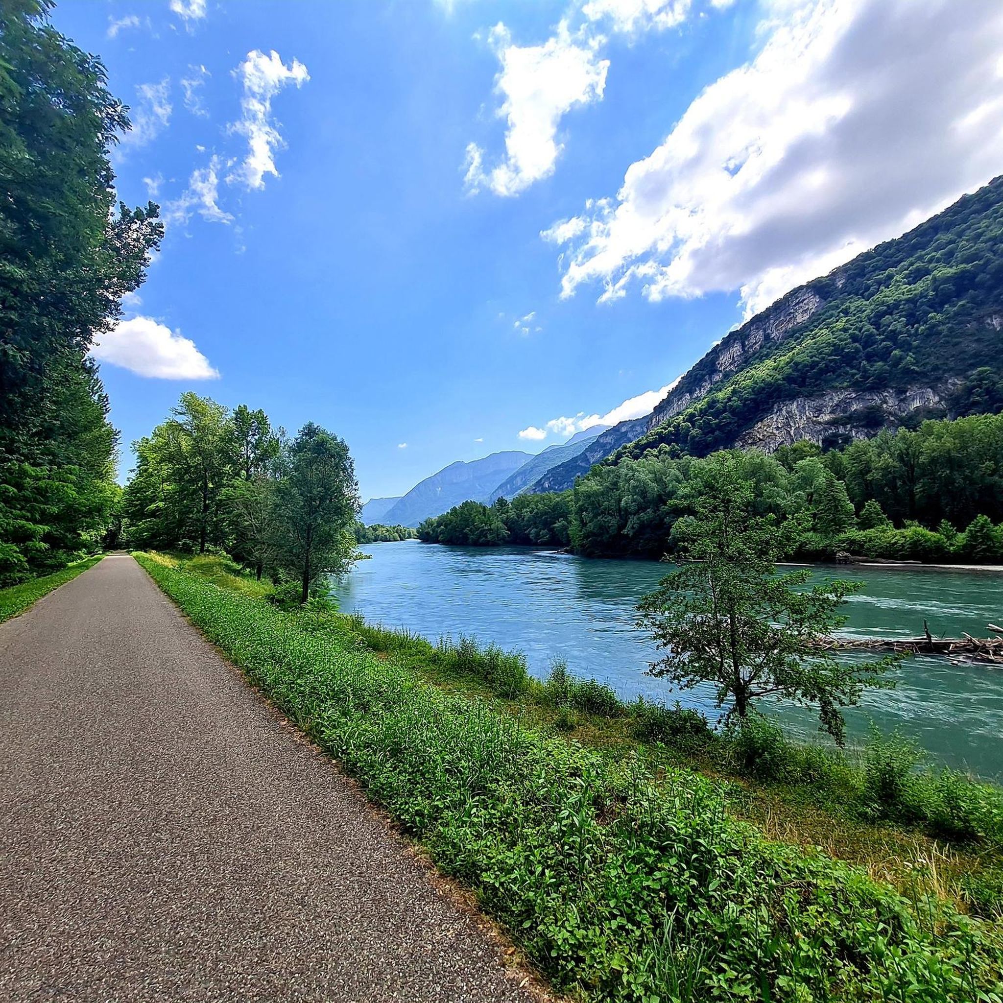
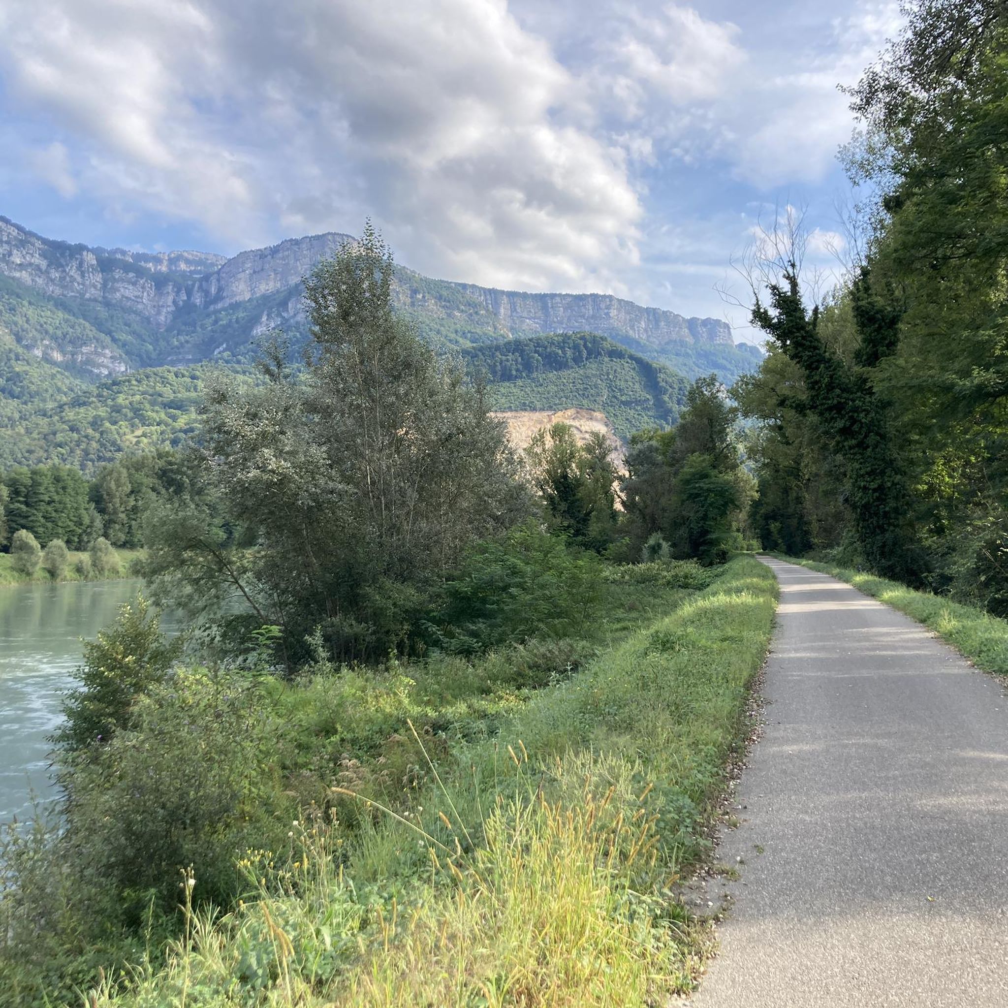
La Véloroute de l'Isère, officially integrated into the national route La Belle Via (referenced under number V63), is a cycling route of over 200 kilometers that runs along the Isère river. It connects the foothills of Savoie to the Drôme (connection with ViaRhôna), by crossing the entire department of Isère and its capital, Grenoble.
0
0
The Véloroute de l'Isère, officially integrated into the national La Belle Via route (referenced under number V63), is a cycling route of over 200 kilometers that runs along the Isère river. It connects the foothills of Savoie to the Drôme (connection with ViaRhôna), crossing the entire Isère department and its capital, Grenoble.
0
0
Medieval origins (11th - 12th centuries): The religious site is of very ancient origin. From the end of the 11th century, several religious buildings are mentioned in the commune. The Saint-Pierre church itself is cited under the name "ecclesia de Anos" in the famous cartulary of Saint Hugues (Bishop of Grenoble). In the Middle Ages, the church was directly dependent on the priory of Saint-Laurent of Grenoble, as attested by an official terrier dating from 1497 under the name "ecclesia Sancti Petri de Fortaressia".
0
0
Frequently Asked Questions
How many touring cycling routes are available around Morette?
Morette offers a wide selection of touring cycling routes, with over 170 options available. These routes cater to various skill levels, including 35 easy, 45 moderate, and 94 difficult trails.
Are there any easy touring cycling routes suitable for beginners or families in Morette?
Yes, Morette has several easy touring cycling routes perfect for beginners or families. One popular option is La Belle Via: Tullins Loop, an 18.9-mile (30.4 km) trail that offers a pleasant ride through the local area with minimal elevation gain.
What kind of terrain can I expect on touring cycling routes in Morette?
The touring cycling routes around Morette feature varied terrain, ranging from gentle valley paths to more challenging mountain passes. You'll encounter a mix of open views and areas with notable climbs, such as the Parménie Pass and Col de Châtain.
Are there any challenging touring cycling routes for experienced riders?
Absolutely. For experienced riders seeking a challenge, Morette offers routes with significant elevation changes. The Lachard Pass – Col de Châtain (684 m) loop from Poliénas is a difficult 20.2-mile (32.6 km) trail with substantial climbs. Another demanding option is the Tullins Town Hall – View of Rovon loop from Tullins-Fures, which covers 30.3 miles (48.8 km) with over 1,600 feet (500 m) of ascent.
What are some scenic viewpoints or natural attractions along the touring cycling routes?
Many routes in Morette offer scenic viewpoints. You can explore various mountain passes like Toutes Aures Pass or Lachard Pass (695 m). For natural monuments, consider visiting The Cyclone or the impressive Passerelle de la Gaffe Waterfall.
Are there any touring cycling routes that form a loop?
Yes, many touring cycling routes around Morette are designed as loops, allowing you to start and finish at the same point. Examples include the popular Parménie Pass – Village Fountain in Tullins loop from Tullins-Fures, which offers varied terrain and views, and the View of Vatilieu – Tullins Town Hall loop from Tullins-Fures.
What do other touring cyclists say about the routes in Morette?
The touring cycling routes in Morette are highly regarded by the komoot community, holding an average rating of 4.4 stars from over 200 reviews. Cyclists often praise the varied terrain, the scenic loops, and the options available for different ability levels.
What is the best season for touring cycling in Morette?
While specific weather conditions can vary, the region's varied elevation suggests that spring and autumn offer pleasant temperatures for cycling, avoiding the peak heat of summer and potential snow on higher passes in winter. Always check local forecasts before heading out.
Are there any cafes or places to stop for refreshments along the routes?
Many routes pass through or near local villages and towns like Tullins, where you can find cafes and other establishments for refreshments. Planning your route with komoot allows you to identify potential stops along the way.
Can I reach the trailheads using public transport?
While specific public transport options to every trailhead may vary, towns like Tullins and Poliénas, which serve as starting points for several routes, are generally accessible by regional public transport. It's advisable to check local bus or train schedules for the most up-to-date information on reaching your desired starting point.
Where can I find parking for touring cycling routes in Morette?
Parking is typically available in the towns and villages that serve as common starting points for routes, such as Tullins and Poliénas. Look for designated public parking areas, especially near town centers or recreational facilities, when planning your ride.
What should I wear for touring cycling in Morette?
Given the varied elevation and potential for changing weather, it's recommended to wear layers. Moisture-wicking base layers, a cycling jersey, and a windproof or waterproof jacket are essential. Don't forget a helmet, cycling shorts, gloves, and appropriate footwear for comfort and safety.
Most popular attractions around Morette

Get inspired with the komoot mobile app


Explore more
Browse the best Cycling routes in other regions.
