The best road cycling routes around Morette
4.6
(196)
3,574
riders
191
rides
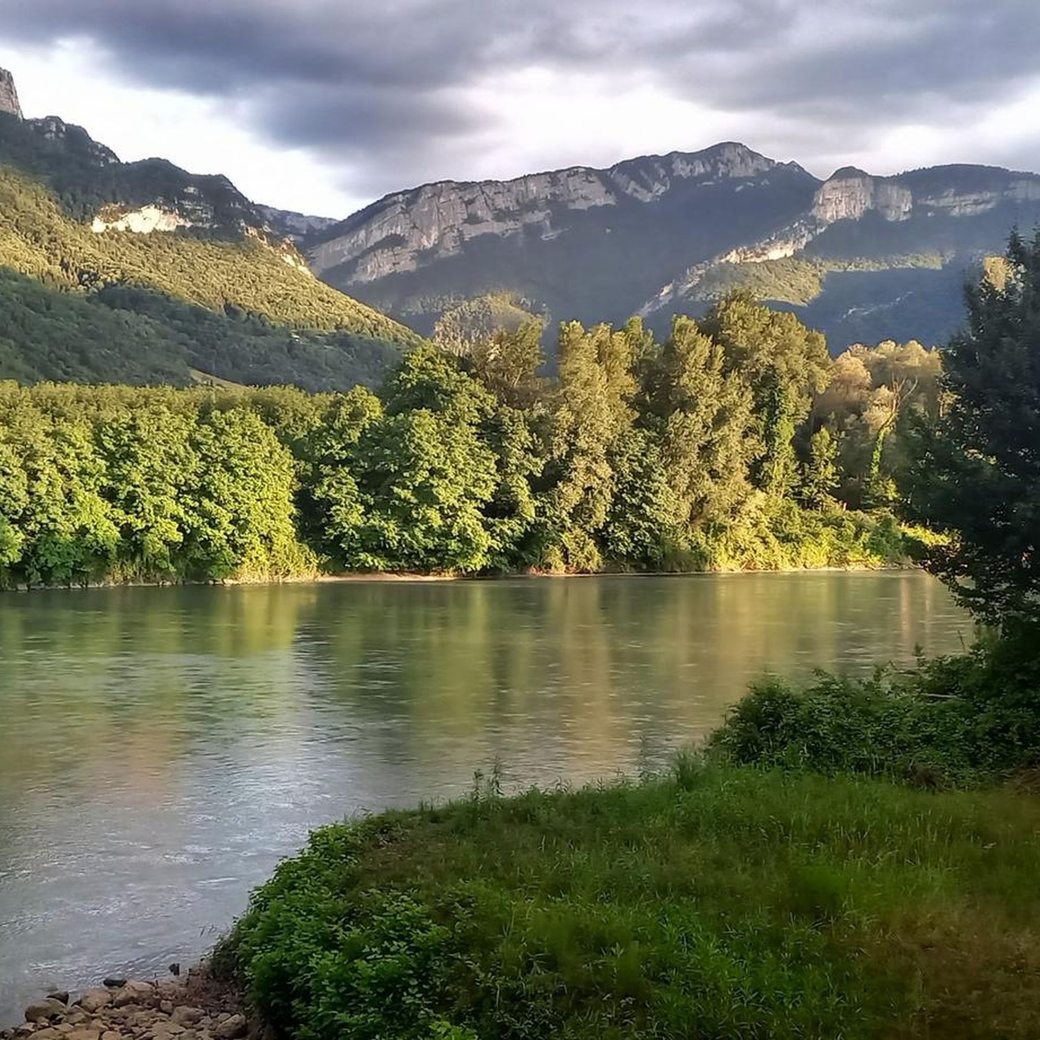
Road cycling routes around Morette are situated within the Isère department of France, characterized by varied altitudes ranging from 280m to 761m. This diverse topography offers cyclists a range of routes, transitioning from scenic valleys to more challenging mountainous areas. The region features picturesque countryside, forests, and charming villages, providing a varied backdrop for rides.
Best road cycling routes around Morette
- The most popular road cycling route is Tour in the valley of Rival, a 31.1 miles (50.1 km)…
Last updated: October 5, 2026
4.6
(7)
30
riders
50.1km
02:39
850m
850m
Moderate road ride. Good fitness required. Mostly well-paved surfaces and easy to ride.
5.0
(1)
35
riders
77.7km
03:42
1,030m
1,030m
Hard road ride. Very good fitness required. Mostly well-paved surfaces and easy to ride.

4.5
(35)
537
riders
51.5km
02:00
130m
130m
Easy road ride. Great for any fitness level. Mostly well-paved surfaces and easy to ride.
1.0
(1)
28
riders
56.5km
03:05
1,080m
1,080m
Hard road ride. Very good fitness required. Mostly well-paved surfaces and easy to ride.
22
riders
84.5km
04:26
1,300m
1,300m
Hard road ride. Very good fitness required. Mostly well-paved surfaces and easy to ride.
Get access to more routes and recommendations from other explorers.
Already have an account?
Our route recommendations are based on thousands of hikes, rides, and runs completed by other people on komoot.
Start today with a free account
Your next adventure awaits.

Tips from the Community

A laid out flat, with occasional views of the Isère and the ver c ors, but frankly a bit boring and frankly along the highway. The crossed rest area looked nice but was crowded with people. The charging and repair station was out of order.
0
0

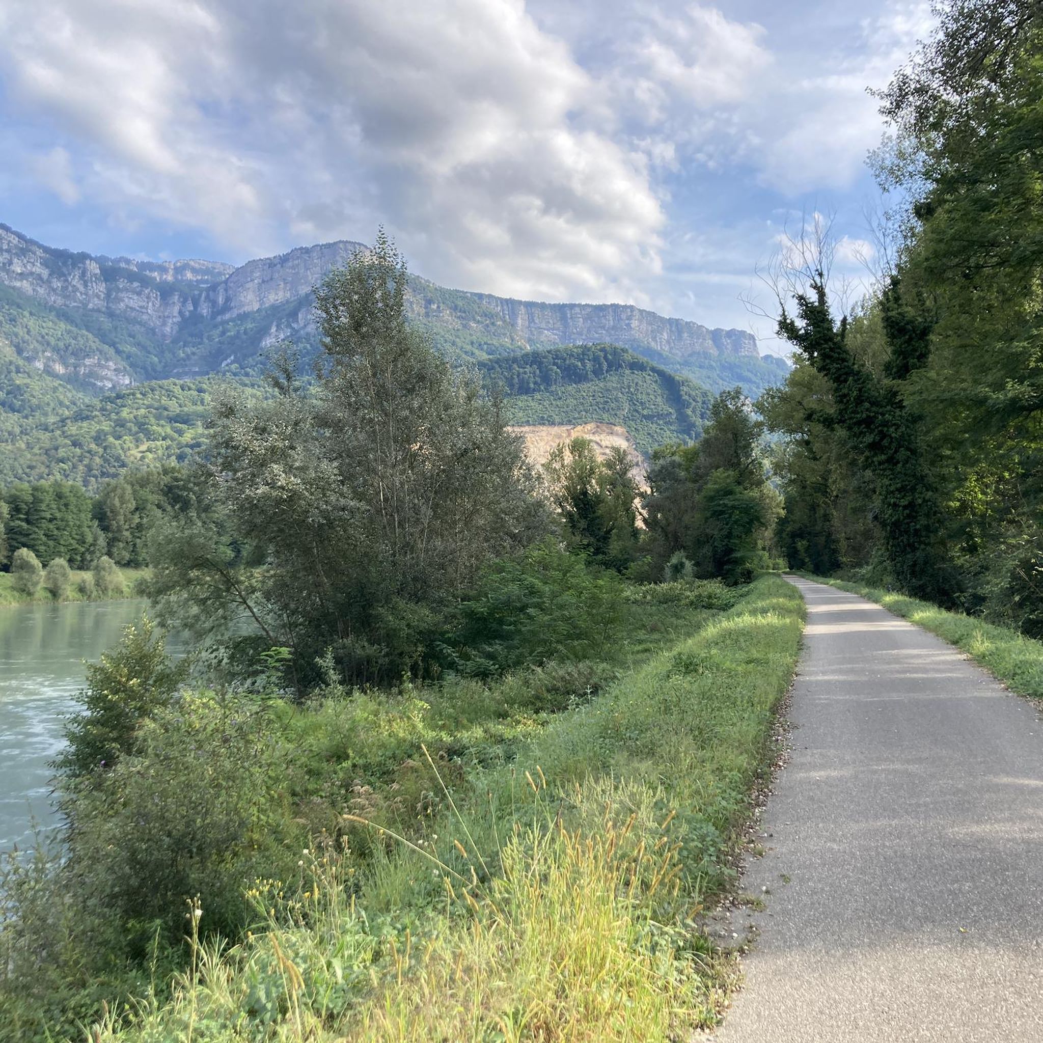
La Véloroute de l'Isère, officially integrated into the national route La Belle Via (referenced under number V63), is a cycling route of over 200 kilometers that runs along the Isère river. It connects the foothills of Savoie to the Drôme (connection with ViaRhôna), by crossing the entire department of Isère and its capital, Grenoble.
0
0
The La Véloroute de l'Isère, officially integrated into the national route La Belle Via (referenced under number V63), is a cycling route of over 200 kilometers that runs along the Isère river. It connects the foothills of Savoie to the Drôme (connection with ViaRhôna), by crossing the entire department of Isère and its capital, Grenoble.
0
0
The Véloroute de l'Isère, officially integrated into the national La Belle Via route (referenced under number V63), is a cycling route of over 200 kilometers that runs along the Isère river. It connects the foothills of Savoie to the Drôme (connection with ViaRhôna), crossing the entire Isère department and its capital, Grenoble.
0
0
The Route du canyon des Écouges (D35) road connecting Rencurel to Saint-Gervais offers a dizzying, breathtaking panorama. It is a cantilevered road carved into the limestone cliff. It includes the famous Écouges tunnel (just under 500 m), particularly narrow and low.
0
0
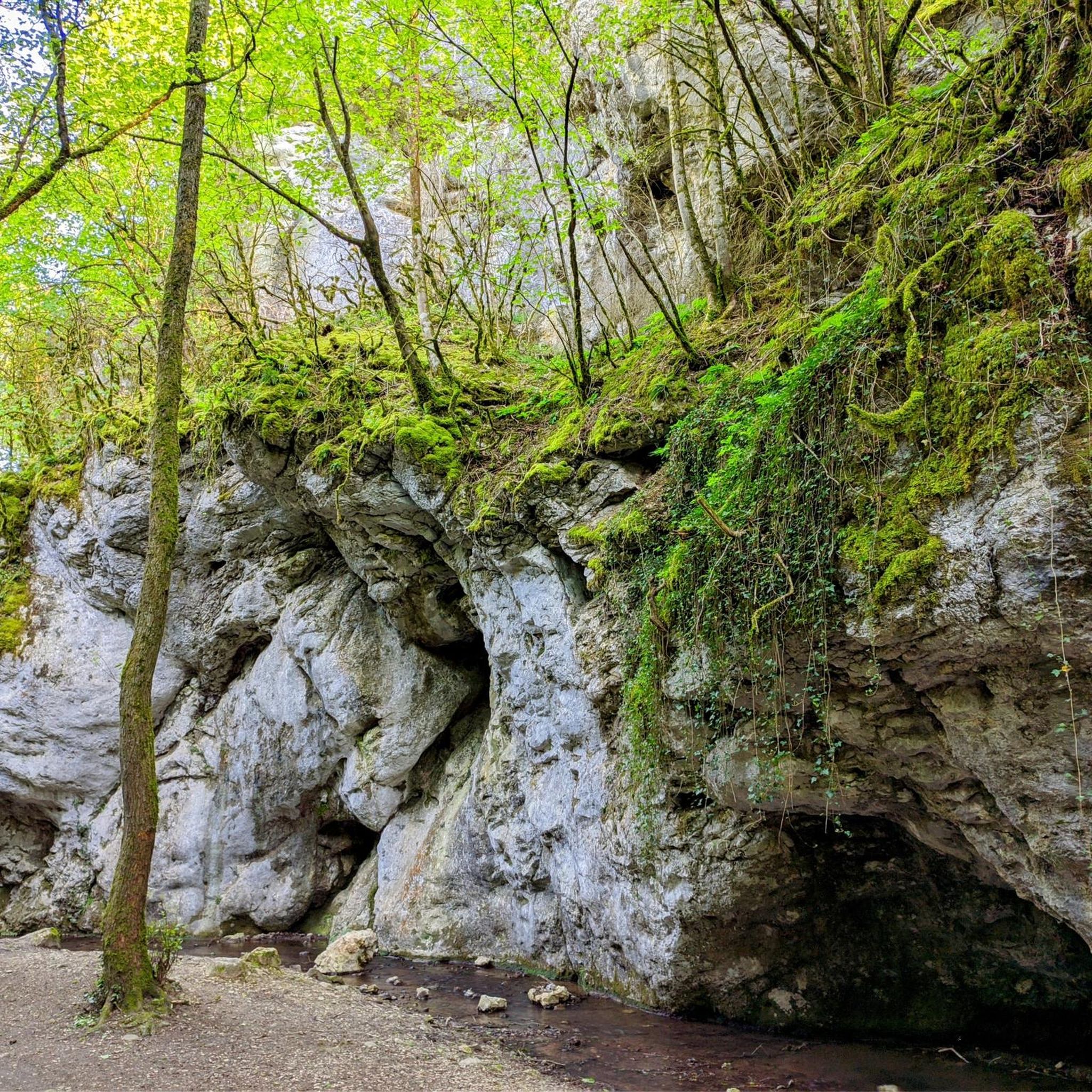
The Écouges waterfall is a natural site in the Vercors Regional Natural Park, located in the commune of Saint-Gervais in Isère. World-renowned among canyoning enthusiasts, this spectacular waterfall and its stream cross a wild canyon split into two distinct sections at the level of the departmental road D35.
0
0
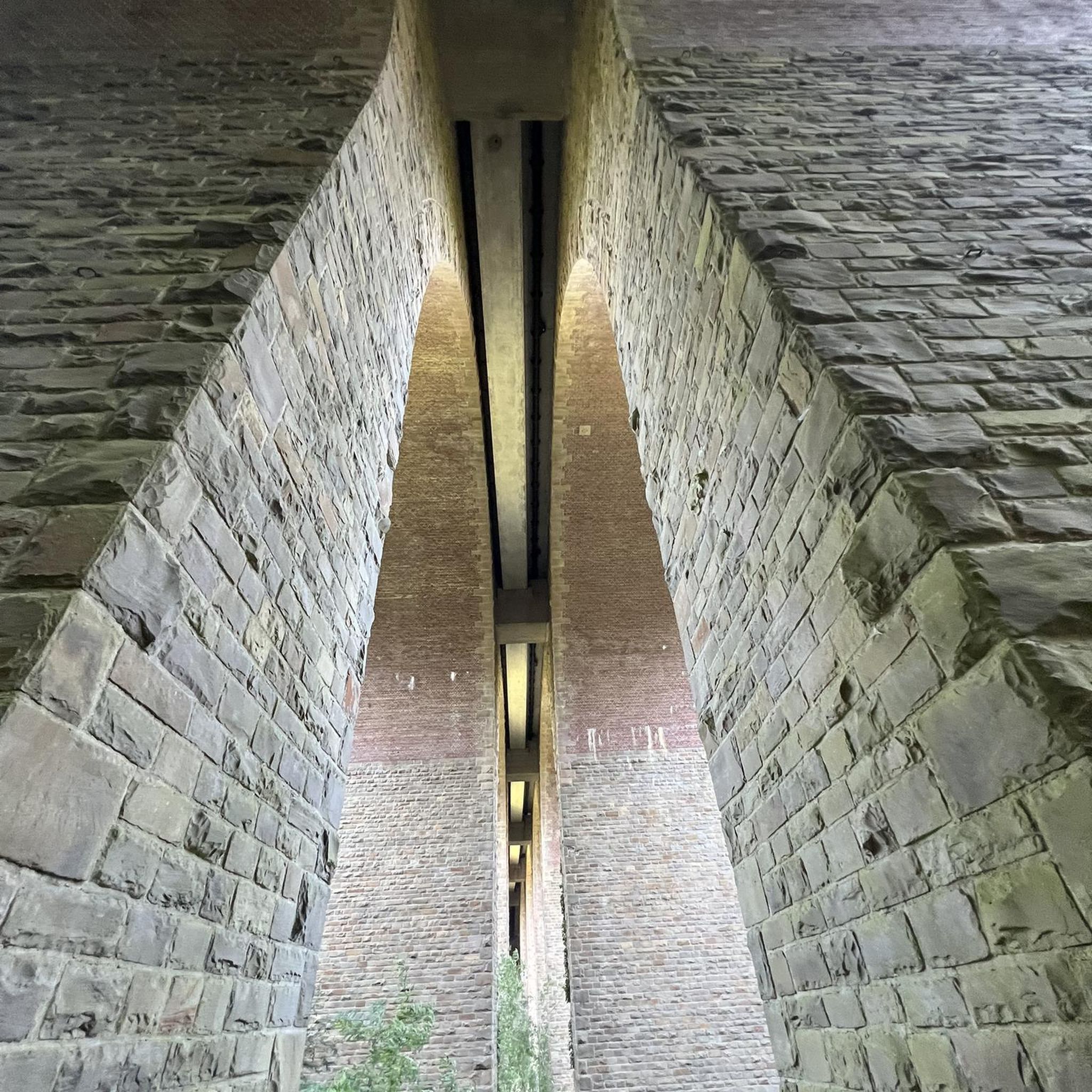
The Saint-Gervais waterfall is located in the Vercors massif, along the road to the Col de Romeyère and in the lower part of the Écouges canyon. The Écouges waterfall is a spectacular natural site located in the commune of Saint-Gervais, in Isère, in the heart of the Vercors massif. Fed by the Drevenne river, it marks the entrance to the famous and impressive Écouges Canyon. The Pont de la Cascade crosses the Drevenne river on the D35 road, just before the final climb to the Écouges site in the Vercors massif in Saint-Gervais (Isère), in the heart of the Vercors foothills. The bridge overlooks the Drevenne river, famous for its gorges, canyoning, and wild landscapes.
0
0
Considered by local cyclists to be the most demanding pass in the Chambarans, it mainly connects the Isère valley to the commune of La Forteresse.
0
0
Frequently Asked Questions
How many road cycling routes are available around Morette?
There are over 180 road cycling routes available around Morette, offering a wide variety of options for all skill levels. These routes are highly rated by the komoot community, with an average score of 4.6 stars.
What kind of terrain can I expect when road cycling around Morette?
The Morette area, situated within the Isère department, features a diverse topography with altitudes ranging from 280m to 761m. This means you can expect a mix of scenic valleys, rolling countryside, and more challenging mountainous sections with varied elevation gains. Routes often pass through picturesque forests and charming villages.
Are there road cycling routes suitable for beginners or families in Morette?
Yes, Morette offers several easy road cycling routes perfect for beginners or families. An excellent option is the Isère cycle route – Along the Isère loop from Poliénas, an easy 30.9-mile (49.8 km) path that follows the scenic Isère river with gentle gradients, ideal for a relaxed ride.
What are some challenging road cycling routes in the Morette area?
For experienced cyclists seeking a challenge, Morette provides several difficult routes. The Gorges du Nan – V63 cycle route loop from Tullins-Fures is a demanding 52.6-mile (84.6 km) trail leading through dramatic gorges with significant elevation. Another challenging option is the Parménie Pass – Lachard Pass (695 m) loop from Poliénas, covering nearly 78 km with over 1100m of ascent.
Can I find road cycling routes that are around 50km in length?
Absolutely. Many routes in the Morette area are around 50km. A popular choice is the Tour in the valley of Rival, a moderate 31.1-mile (50.1 km) trail featuring varied terrain and significant elevation gain. The Isère cycle route – Along the Isère loop from Poliénas is another option at 30.9 miles (49.8 km).
Are there any notable natural attractions or landmarks to see along the routes?
Yes, the region around Morette offers several natural attractions and mountain passes that can be incorporated into your rides. You might encounter highlights such as the Passerelle de la Gaffe Waterfall, the scenic Bec de l'Orient summit, or various mountain passes like Lachard Pass (695 m) and Toutes Aures Pass.
What do other cyclists enjoy most about road cycling in Morette?
The Morette area is highly rated by the komoot community, with an average score of 4.6 stars from over 220 reviews. Cyclists often praise the region's varied terrain, which offers everything from gentle river paths to challenging mountain climbs, as well as the picturesque countryside, forests, and charming villages that provide a beautiful backdrop for rides.
Is it possible to find circular road cycling routes in Morette?
Yes, many of the road cycling routes around Morette are designed as loops, allowing you to start and finish at the same point. Examples include the Isère cycle route – Along the Isère loop from Poliénas and the challenging V63 cycle route – Col de Romeyère loop from Tullins-Fures.
What is the best time of year for road cycling in Morette?
The Isère department, where Morette is located, generally offers pleasant cycling conditions from spring through early autumn. The region's varied altitude means that while lower valley routes are enjoyable in spring and early summer, higher passes might be best tackled in mid-summer when the weather is most stable and warmer. Always check local weather forecasts before heading out.
Where can I find parking for road cycling routes in Morette?
While specific parking locations for every trailhead are not detailed here, many routes around Morette, especially those starting from towns like Poliénas or Tullins-Fures, will have public parking available. It's advisable to check local municipality websites or komoot route details for specific starting points and parking suggestions.
Are there options for public transport to reach the cycling routes?
The Isère department has a regional public transport network. While direct bike carriage policies can vary, some regional buses or trains might accommodate bicycles, especially outside of peak hours. For detailed information on public transport options and bike policies to reach specific starting points like Poliénas or Tullins-Fures, it's best to consult the local transport authority's website.
Are there any specific rules or considerations for cycling with dogs in the Morette area?
While the region is generally welcoming to outdoor activities, specific rules for cycling with dogs on road routes are not commonly enforced, as long as dogs are kept under control and local regulations (e.g., leash laws in certain areas) are respected. Always ensure your dog is fit for the distance and terrain, and carry enough water for both of you.
Are there places to eat or stay near the cycling routes in Morette?
The charming villages and towns throughout the Isère department, including those near Morette and along the cycling routes, offer various options for cafes, restaurants, and accommodation. You'll find places to refuel and rest in communities like Poliénas and Tullins-Fures, which serve as popular starting points for many routes.
Most popular attractions around Morette

Get inspired with the komoot mobile app


Explore more
Browse the best Road cycling routes in other regions.
