The best walks and hikes around Mayres-Savel
4.6
(912)
7,805
hikers
22
hikes
Hiking around Mayres-Savel offers diverse landscapes, centered around Lake Monteynard-Avignonet and its unique Himalayan Footbridges. The region features varied terrain, from paths along the lake to ascents towards mountain peaks and natural arches like La Pierre Percée. Trails encompass a range of difficulties, providing options for different fitness levels. The area is characterized by its prominent lake, suspended bridges, and scenic viewpoints.
Best hiking trails around Mayres-Savel
- The most popular hiking route is Tour of the footbridges of Lake Monteynard-Avignonet…
Last updated: October 4, 2026
4.8
(322)
3,073
hikers
15.8km
04:35
350m
350m
Moderate hike. Good fitness required. Mostly accessible paths. Sure-footedness required.
4.6
(31)
270
hikers
Moderate hike. Great for any fitness level. Mostly accessible paths. Sure-footedness required.

4.7
(76)
771
hikers
13.2km
04:17
510m
510m
Moderate hike. Good fitness required. Mostly accessible paths. Sure-footedness required.
4.6
(36)
350
hikers
Moderate hike. Good fitness required. Mostly accessible paths. Sure-footedness required.
4.7
(23)
144
hikers
7.92km
02:39
320m
320m
Moderate hike. Good fitness required. Mostly accessible paths. Sure-footedness required.
Get access to more routes and recommendations from other explorers.
Already have an account?
Our route recommendations are based on thousands of hikes, rides, and runs completed by other people on komoot.
Start today with a free account
Your next adventure awaits.

Tips from the Community

The footbridges were opened to the public in August 2007 and inaugurated in June 2008 by the prefect. They have become one of the most visited sites in the region. At the time, the Himalayan footbridges also had another role to play, that of connecting one bank to the other in order to facilitate passage between the territories, the Trièves (left bank) and the Matheysine (right bank).
0
0
The footbridges were opened to the public in August 2007 and inaugurated in June 2008 by the prefect. They have become one of the most visited sites in the region. At the time, the Himalayan footbridges also had another role to play, that of connecting one bank to the other in order to facilitate passage between the territories, the Trièves (left bank) and the Matheysine (right bank).
0
0
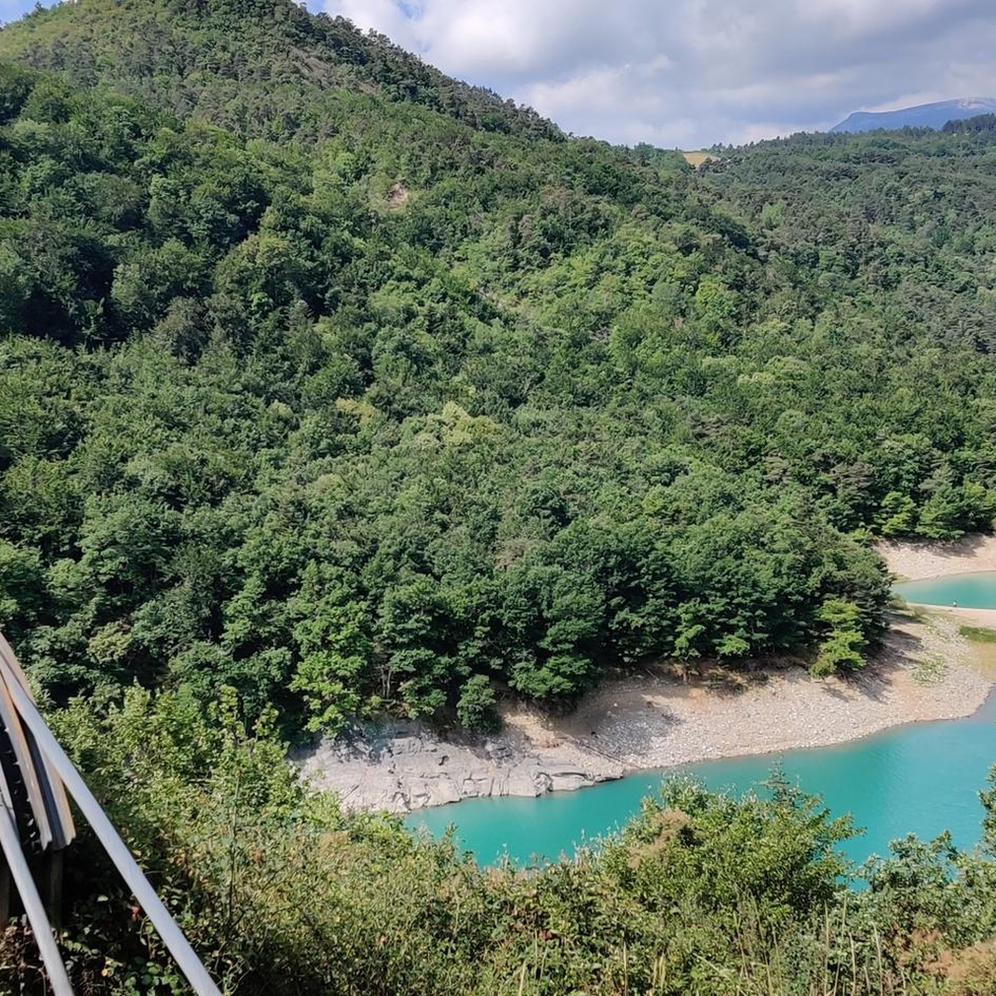
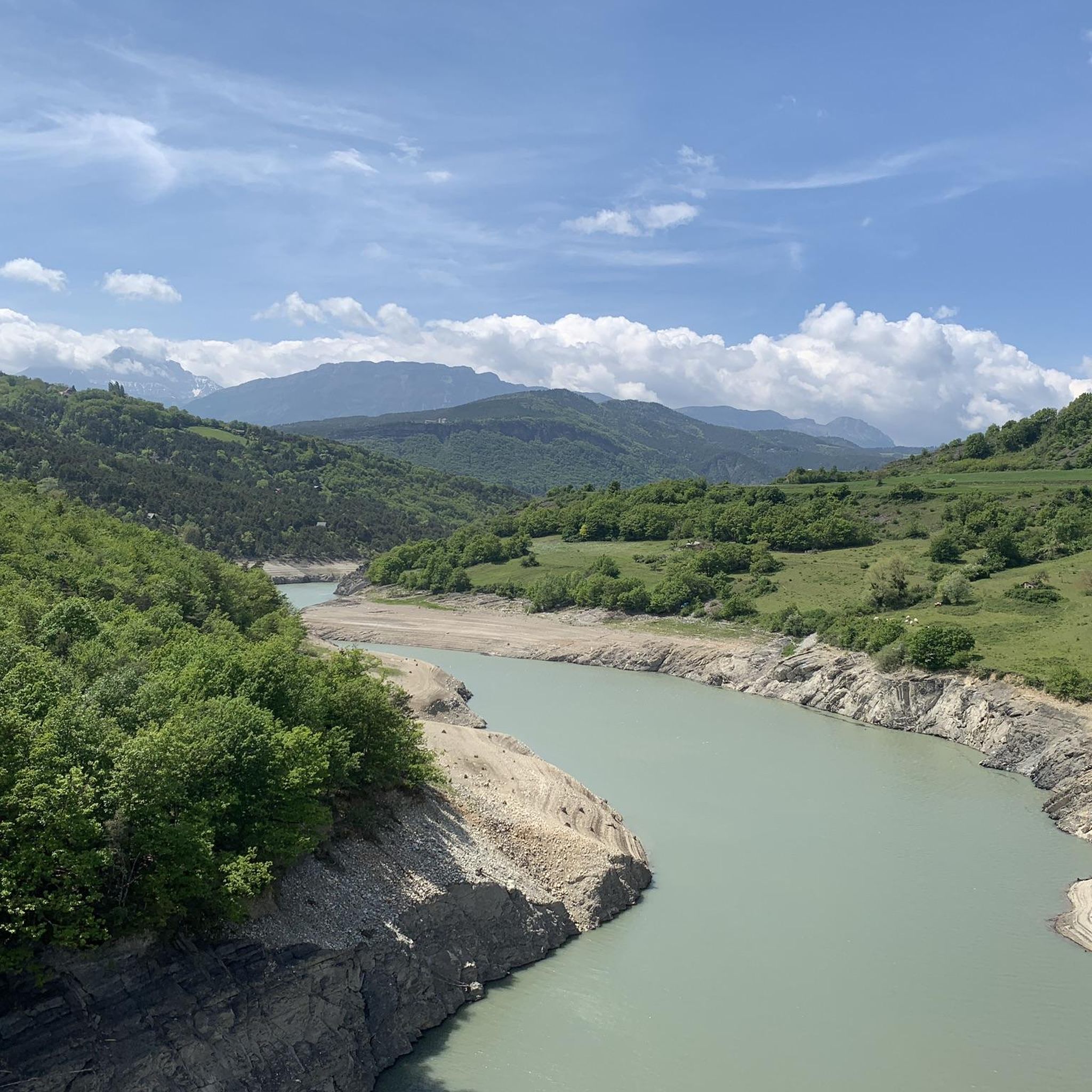
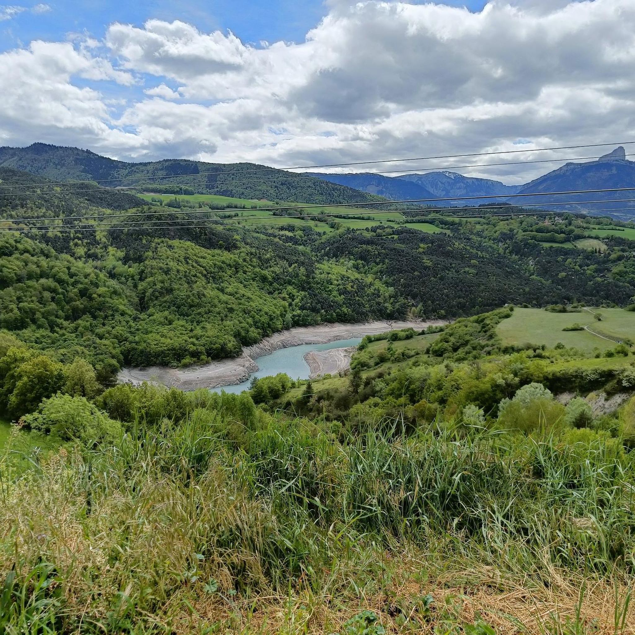
A lake with turquoise waters! The lake of Monteynard Avignonet stretches between Trièves and Matheysine. Located 25 km south of Grenoble, this artificial reservoir with its imposing dam is a paradise for gliding and sailing activities (kitesurfing, windsurfing, wing foiling, dinghies...). Its turquoise waters have made it famous, as well as the Himalayan footbridges hike, unique in Europe! You can also enjoy many other activities such as paddleboarding, fishing, and mountain biking...
0
0


Frequently Asked Questions
What level of fitness is required for hiking in Mayres-Savel?
Mayres-Savel offers a wide range of hiking difficulties. You'll find easy paths suitable for all skill levels, moderate routes requiring good fitness, and challenging trails demanding very good physical condition and sure-footedness. Out of 22 available routes, 2 are considered easy, 16 are moderate, and 4 are difficult, ensuring options for various fitness levels.
Are there family-friendly hiking options in Mayres-Savel?
Yes, Mayres-Savel provides easy hiking paths suitable for families. While specific family-focused routes aren't detailed, the presence of easy trails means you can find enjoyable walks that are less demanding, often along the scenic Lake Monteynard-Avignonet, perfect for a leisurely outing with children.
Can I bring my dog on the hiking trails in Mayres-Savel?
Many hiking trails in Mayres-Savel are dog-friendly, but it's always recommended to keep your dog on a leash, especially in nature reserves or areas with livestock. Be mindful of local regulations and ensure your dog is comfortable with the terrain and duration of your chosen hike.
Are there circular hiking routes available in Mayres-Savel?
Yes, many of the trails in Mayres-Savel are designed as circular routes, allowing you to start and end at the same point. For example, the Magnificent view – View of the Brion Bridge loop from Plage de Mayres Savel is a challenging 13.1-mile loop, and the Magnificent view – Drac Footbridge loop from Plage de Mayres Savel offers a moderate 9.3-mile circular experience.
What natural landmarks or viewpoints can I discover while hiking?
The region is rich in natural landmarks and stunning viewpoints. You can hike to La Pierre Percée, a natural arch offering panoramic views of the Matheysine plateau. The Col de l'Allimas also provides challenging ascents and scenic vistas. Don't miss the impressive View of Mont Aiguille from Col de l'Allimas.
What makes hiking around Lake Monteynard-Avignonet special?
Hiking around Lake Monteynard-Avignonet is unique due to its breathtaking views and the exhilarating experience of the Himalayan Footbridges. These impressive suspended bridges traverse above the landscape, offering a distinctive way to explore the area. You can even take a ferry, like the 'Bac Treffort - La Mira', to cross the lake and access various points of interest and trailheads.
Is parking available near the trailheads in Mayres-Savel?
Parking is generally available at popular trailheads and key access points around Mayres-Savel, especially near Lake Monteynard-Avignonet and Plage de Mayres Savel. It's advisable to check specific route details or local signage for the most convenient parking options for your chosen hike.
When is the best time of year to go hiking in Mayres-Savel?
The best time to hike in Mayres-Savel is typically from spring through autumn. During these seasons, the weather is generally mild and pleasant, making conditions ideal for exploring the diverse landscapes. Summer offers warmer temperatures and full access to all trails, while spring and autumn provide beautiful foliage and fewer crowds.
What kind of terrain and elevation gain can I expect on Mayres-Savel trails?
The terrain in Mayres-Savel is quite diverse, ranging from relatively flat paths along Lake Monteynard-Avignonet to more rugged mountain trails with significant elevation gain. You can expect a mix of forest paths, lakeside trails, and rocky ascents, especially when heading towards viewpoints or mountain passes like the Col de l'Allimas. For example, the difficult Magnificent view – View of the Brion Bridge loop from Plage de Mayres Savel involves over 650 meters of ascent.
What do other hikers enjoy most about the trails in Mayres-Savel?
The hiking experience in Mayres-Savel is highly rated by the komoot community, with an average score of 4.7 stars from over 1200 reviews. Hikers frequently praise the unique experience of the Himalayan Footbridges, the stunning views over Lake Monteynard-Avignonet, and the diverse terrain that caters to various fitness levels. The panoramic vistas from natural landmarks like La Pierre Percée are also a common highlight.
How many hiking trails are there in Mayres-Savel?
There are over 20 hiking routes available around Mayres-Savel, offering a wide variety of distances and difficulties. This includes 2 easy, 16 moderate, and 4 difficult trails, ensuring there's an option for every type of hiker.
Are there any easy or shorter hiking routes in the area?
Yes, Mayres-Savel offers several easier and shorter routes. For a moderate but shorter option, consider the Drac Footbridge – Monteynard Footbridges loop from Plage de Mayres Savel, which is about 3.6 miles (5.8 km) long. There are also 2 designated easy trails among the 22 routes available, perfect for a relaxed walk.
Are there other activities besides hiking around Lake Monteynard-Avignonet?
Absolutely! Beyond hiking, Lake Monteynard-Avignonet is a hub for various water sports. You can enjoy windsurfing, catamaran sailing, paddleboarding, wakeboarding, waterskiing, and fishing. The lake's scenic beauty also makes it ideal for boat cruises, offering unique perspectives of the gorges and suspended bridges.
Most popular routes around Mayres-Savel
Most popular attractions around Mayres-Savel

Get inspired with the komoot mobile app


Explore more
Browse the best Hikes in other regions.
