The best MTB trails around Les Costes
4.4
(43)
399
riders
40
rides
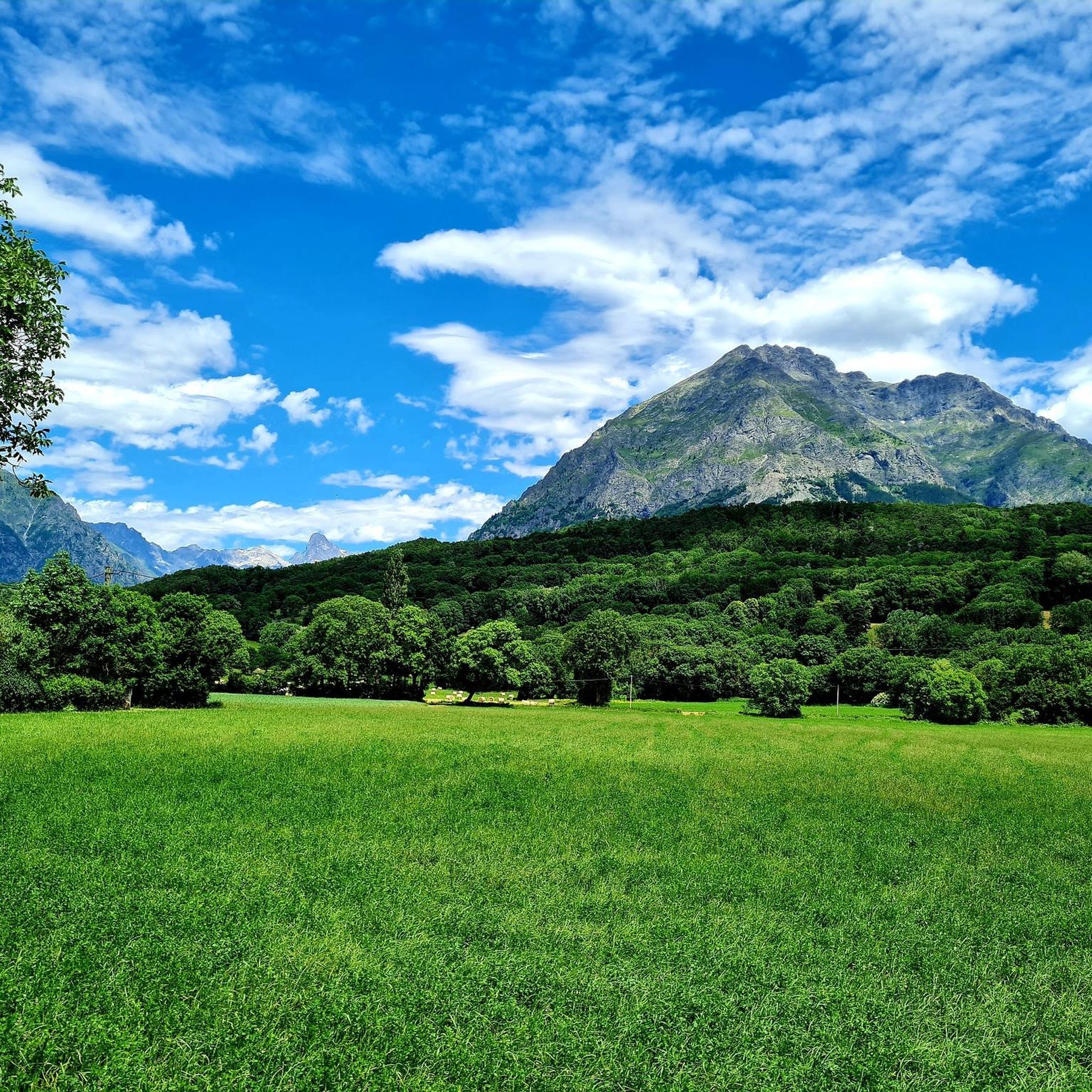
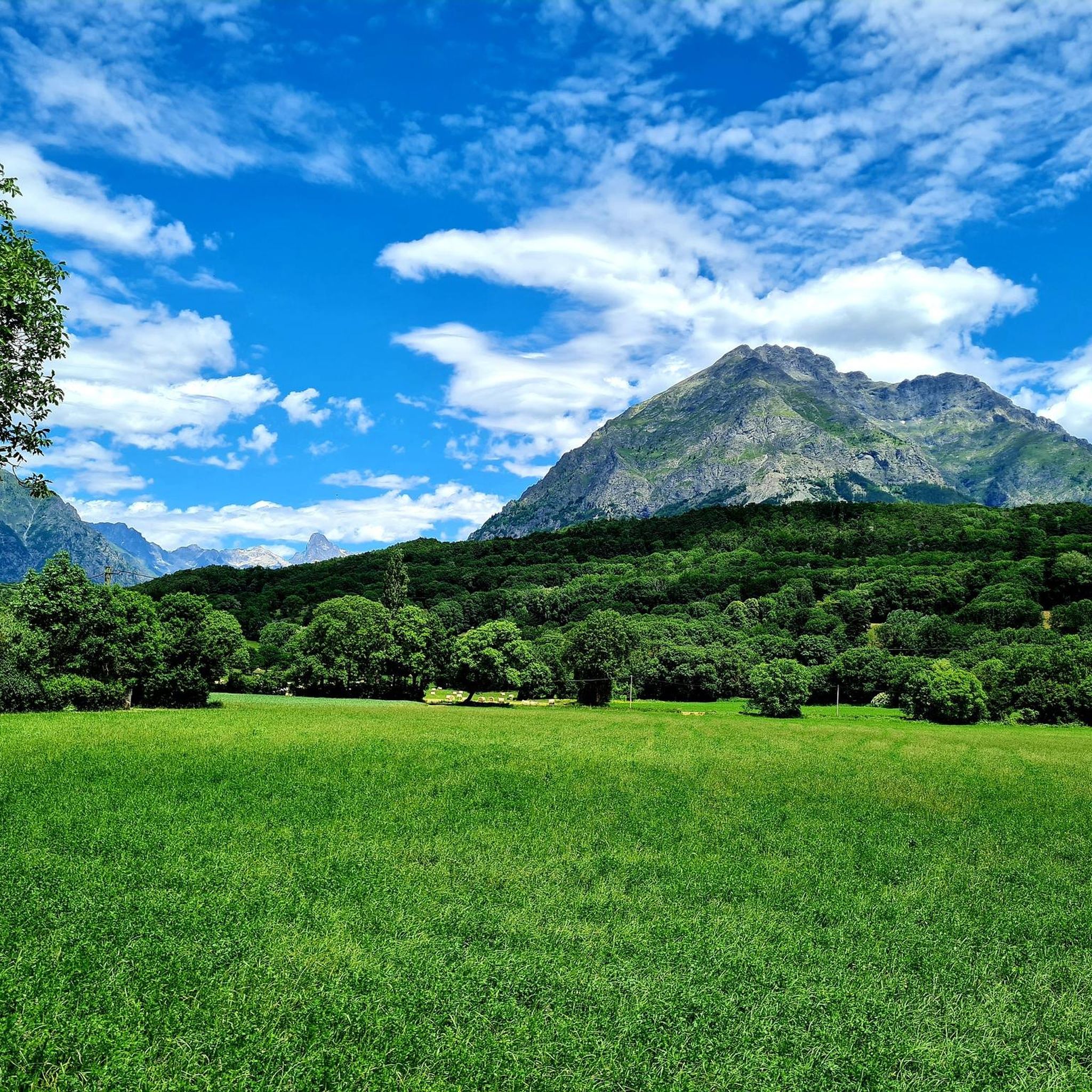
Mountain bike trails around Les Costes offer a diverse landscape for riders, characterized by significant elevation changes and routes that traverse river valleys and mountainous terrain. The region features a mix of challenging climbs and descents, often following natural waterways like the Drac and Séveraisse rivers. Riders can expect to encounter varied surfaces, from forest paths to open sections with panoramic views. This area provides a robust network for mountain biking, appealing to those seeking demanding routes.
Best mountain bike…
Last updated: May 20, 2026
5.0
(1)
6
riders
37.9km
04:05
1,250m
1,250m
Hard mountain bike ride. Very good fitness required. Advanced riding skills necessary. Some portions of the route may require you to push your bike.
4.2
(5)
61
riders
41.4km
03:30
1,080m
1,080m
Hard mountain bike ride. Very good fitness required. Advanced riding skills necessary.

Sign up for free
3.7
(3)
25
riders
45.9km
03:18
760m
760m
Hard mountain bike ride. Good fitness required. Advanced riding skills necessary. Some portions of the route may require you to push your bike.
5.0
(1)
19
riders
Hard mountain bike ride. Very good fitness required. Advanced riding skills necessary. Some portions of the route may require you to push your bike.
11
riders
33.8km
03:45
1,240m
1,240m
Hard mountain bike ride. Very good fitness required. Advanced riding skills necessary.
Get access to more routes and recommendations from other explorers.
Sign up for free
Already have an account?
Our route recommendations are based on thousands of hikes, rides, and runs completed by other people on komoot.
Start today with a free account
Your next adventure awaits.
Login or Signup
Tips from the Community


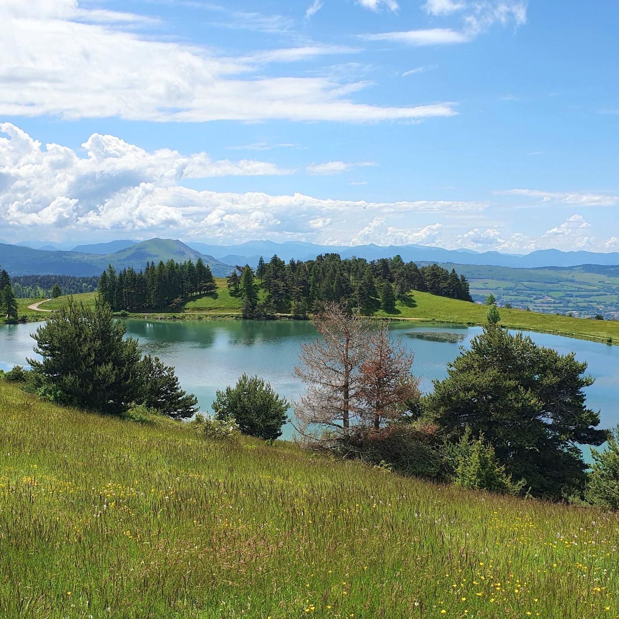
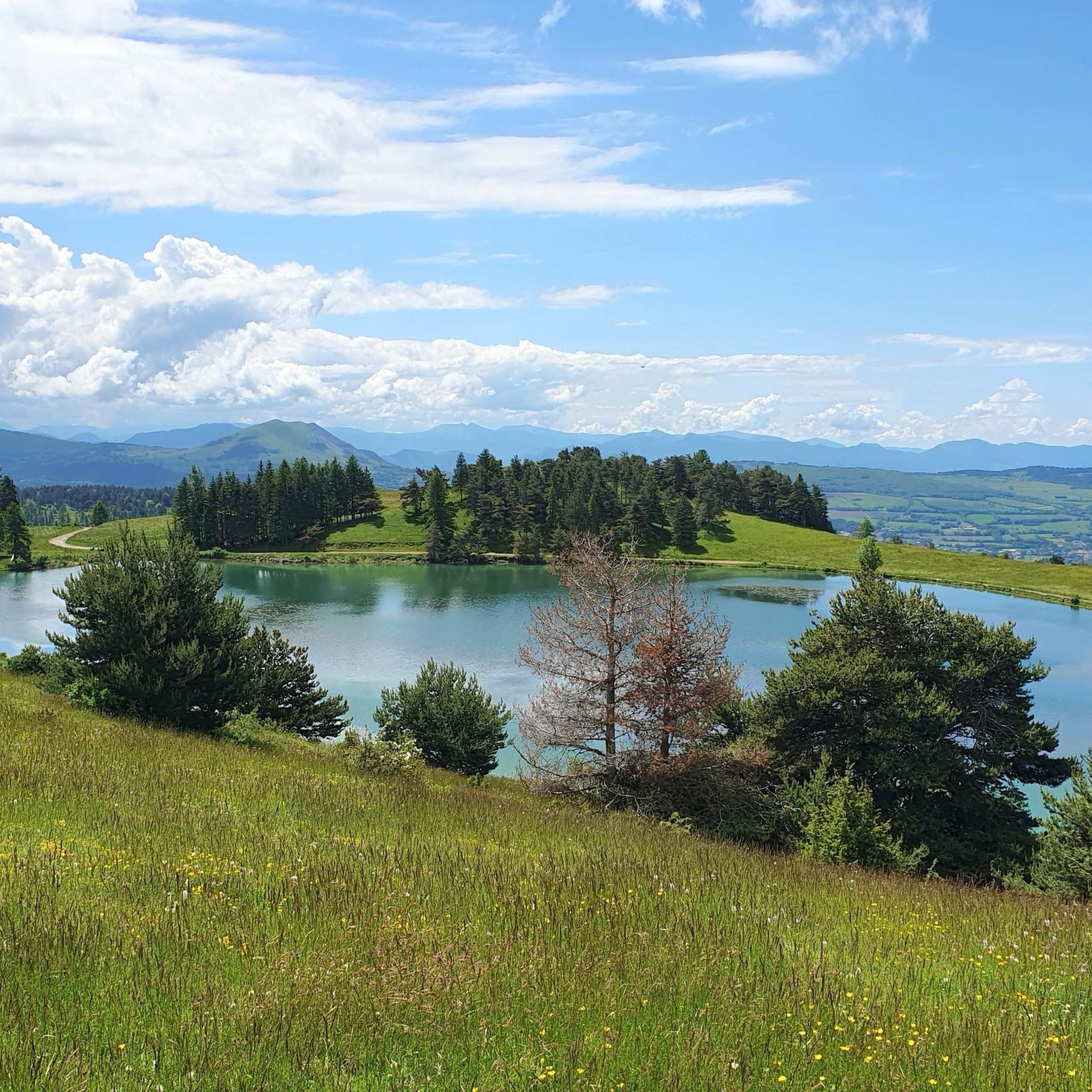
The color of the water is really beautiful.
26
0
Climb with double-digit gradients in certain points.
19
0

The Chaillol village resort is located at an altitude of 1600 meters in the Champsaur valley. Its location allows it to offer a varied and sunny ski area, with activities for all levels and a range of comfortable accommodation.
4
0

Nestled at an altitude of 1,650 meters, the Gioberney refuge is located at the end of the Valgaudemar valley. Its parking lot is often popular with hikers during peak season. The views from the terrace are superb and overlook a beautiful waterfall.
1
0

The Sautet Dam is an engineering masterpiece nestled in a breathtaking landscape. This dam creates a serene lake, which attracts water sports enthusiasts, cyclists and hikers. It offers stunning views of the surrounding mountains.
1
0
Frequently Asked Questions
How many mountain bike trails are available around Les Costes?
There are over 40 mountain bike trails around Les Costes, offering a diverse range of experiences. The komoot community has explored these routes over 300 times, contributing to their high average rating.
Are there easy mountain bike trails in Les Costes suitable for beginners?
While many routes in Les Costes feature significant elevation changes, there are a few easier options available. The region offers a mix of challenging routes for experienced riders and paths suitable for those newer to mountain biking. You can filter for 'easy' routes on komoot to find suitable options.
What options are there for advanced mountain bikers in Les Costes?
Les Costes is well-suited for advanced mountain bikers, with 20 difficult routes out of 43 total trails. These routes often feature substantial elevation gain and demanding terrain. Examples include the Boucle de Chaillol, a 23.6-mile trail with over 1250 meters of ascent, and the Sautet dam – Pont du Loup over the Drac loop from Saint-Firmin, which explores the Drac river valley with notable ascents.
When is the best time of year to go mountain biking in Les Costes?
The best time for mountain biking in Les Costes is typically from late spring through early autumn (May to October). During these months, the weather is generally more stable, and trails are clear of snow, offering optimal conditions for exploring the mountainous terrain and river valleys.
Are there circular mountain bike trails in Les Costes?
Yes, many mountain bike trails in Les Costes are designed as loops, allowing you to start and finish at the same point. Notable circular routes include The Chapel of Valgaudemar – Along the Séveraisse loop from Chauffayer and The Chapel of Valgaudemar – Refuge du Gioberney loop from Saint-Jacques-en-Valgodemar, both offering extensive rides through scenic valleys.
What can I see along the mountain bike trails in Les Costes?
The trails in Les Costes offer diverse scenery, including river valleys, mountainous landscapes, and panoramic views. You might encounter natural landmarks like the Infernet Gorge or pass by the Col du Noyer (1664 m). The region's routes often follow natural waterways like the Drac and Séveraisse rivers.
What do other mountain bikers enjoy most about mountain biking in Les Costes?
The mountain bike trails around Les Costes are highly rated by the komoot community, with an average score of 4.5 stars from over 40 reviews. Riders frequently praise the challenging climbs and descents, the varied landscapes, and the robust network of trails that cater to demanding rides through river valleys and mountainous terrain.
Are there any less crowded mountain bike trails in Les Costes?
While popular routes like the Boucle de Chaillol attract many riders, the extensive network of over 40 trails means you can often find quieter paths. Exploring some of the less-known routes or riding during off-peak times can help you discover more secluded experiences.
Are there mountain bike trails in Les Costes with cafes or refreshment stops nearby?
Many trails in Les Costes pass through or near small villages and hamlets where you can find local cafes or shops for refreshments. For example, routes exploring the Valgaudemar valley, such as The Chapel of Valgaudemar – Along the Séveraisse loop from Chauffayer, may offer opportunities to stop in towns like Chauffayer.
What is the typical length of mountain bike trails in Les Costes?
The mountain bike trails in Les Costes vary significantly in length. Many of the more challenging routes are quite long, such as Sautet dam – Pont du Loup over the Drac loop from Saint-Firmin at 25.7 miles (41.4 km) or The Chapel of Valgaudemar – Refuge du Gioberney loop from Saint-Jacques-en-Valgodemar at 28.7 miles (46.3 km). There are also shorter options available, like the Saint-Firmin canal bridge – Sentier des Herbeys loop from Saint-Firmin, which is 8.7 miles (14 km).
Most popular attractions around Les Costes

Get inspired with the komoot mobile app


Explore more
Browse the best MTB trails in other regions.
