The best walks and hikes around Les Costes
4.7
(143)
1,499
hikers
81
hikes
Hiking around Les Costes offers diverse landscapes, from lakeside paths to mountainous terrain. The region features significant elevation changes, with trails winding through forests and offering panoramic views of valleys and peaks. Hikers can explore areas characterized by gorges, high-altitude lakes, and varied flora. This varied topography provides a range of experiences for different skill levels.
Best hiking trails around Les Costes
- The most popular hiking route is Roaffan artificial lake loop from La Motte-en-Champsaur, a 7.6 miles (12.2…
Last updated: May 20, 2026
17
hikers
12.2km
04:28
550m
550m
Moderate hike. Good fitness required. Mostly accessible paths. Sure-footedness required.
3.9
(7)
18
hikers
8.27km
02:28
270m
260m
Moderate hike. Good fitness required. Mostly accessible paths. Sure-footedness required.

Sign up for free
4.3
(3)
17
hikers
3.37km
01:05
140m
140m
Easy hike. Great for any fitness level. Easily-accessible paths. Suitable for all skill levels.
4.3
(3)
12
hikers
9.84km
03:01
340m
340m
Moderate hike. Good fitness required. Easily-accessible paths. Suitable for all skill levels.
14
hikers
10.7km
03:49
490m
490m
Moderate hike. Good fitness required. Mostly accessible paths. Sure-footedness required.
Get access to more routes and recommendations from other explorers.
Sign up for free
Already have an account?
Our route recommendations are based on thousands of hikes, rides, and runs completed by other people on komoot.
Start today with a free account
Your next adventure awaits.
Login or Signup
Tips from the Community

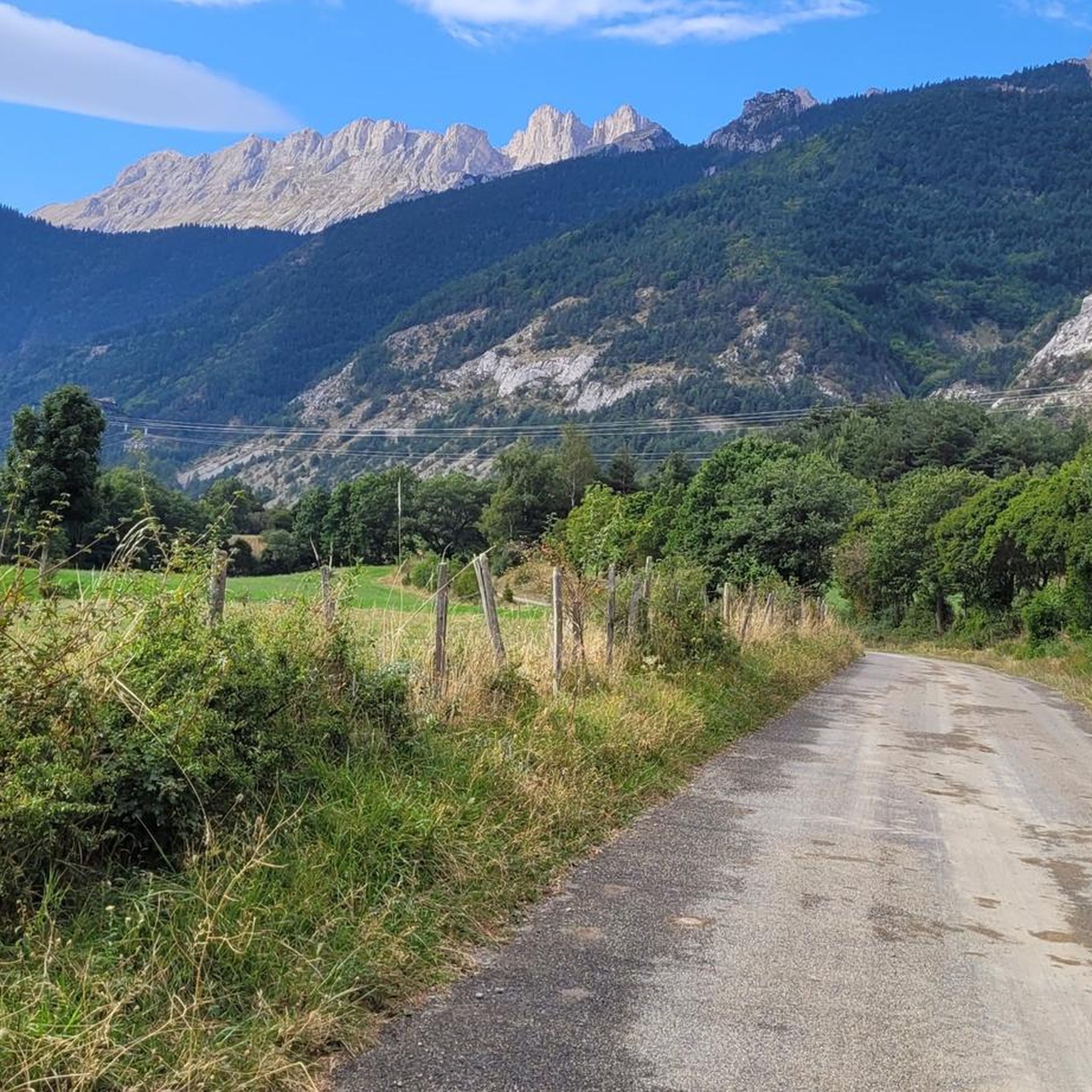
pleasant road with in places path with large stones
0
0

Great visit in winter with no snow. Incredible reflections on the frozen water.
0
0

Built in 1811, the Herbeys canal allows the cultivation of the Aubessagne plateau, which was formerly arid and not very fertile. The canal is 28 kilometers long and uses water from the Séveraisse. The setting is bucolic.
0
0
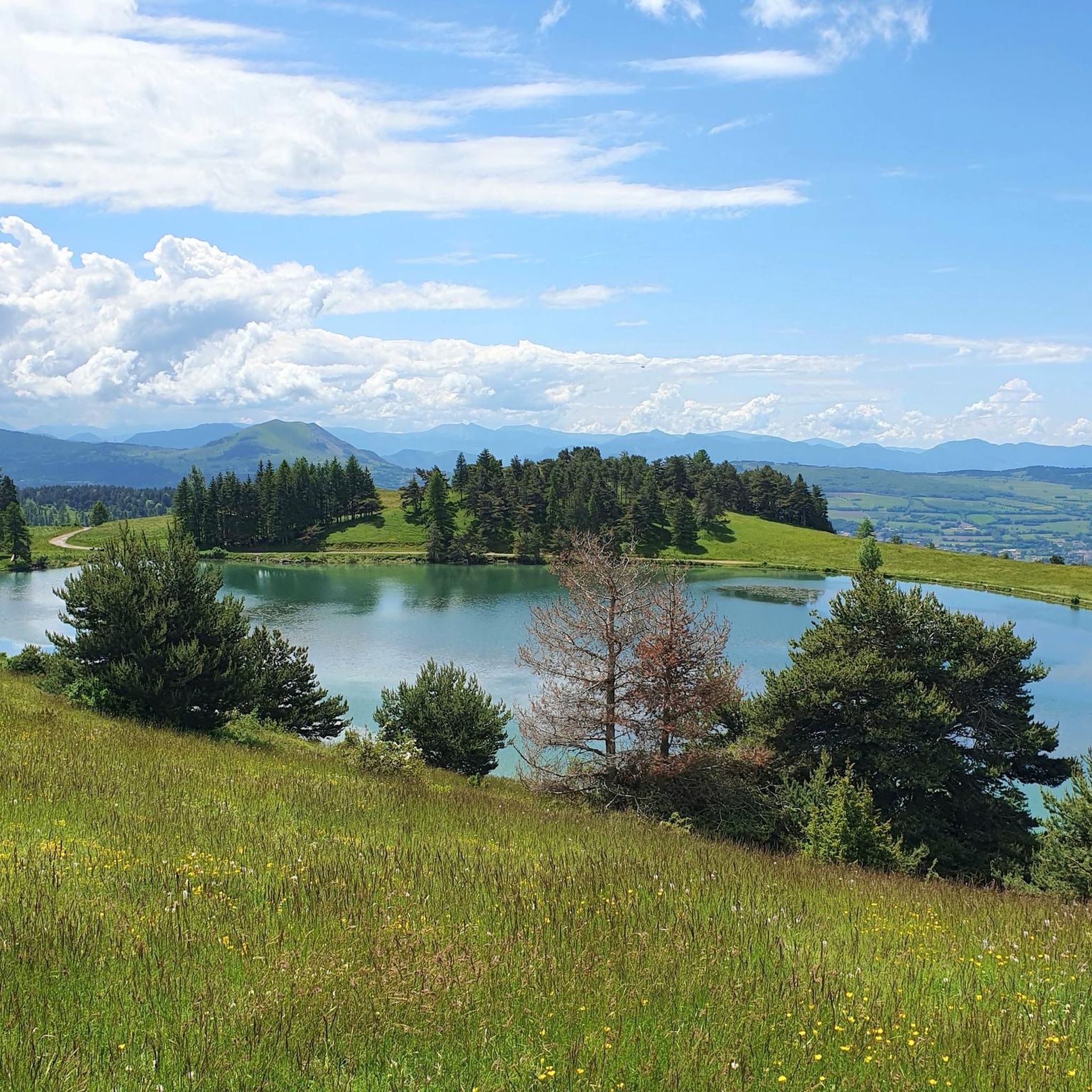
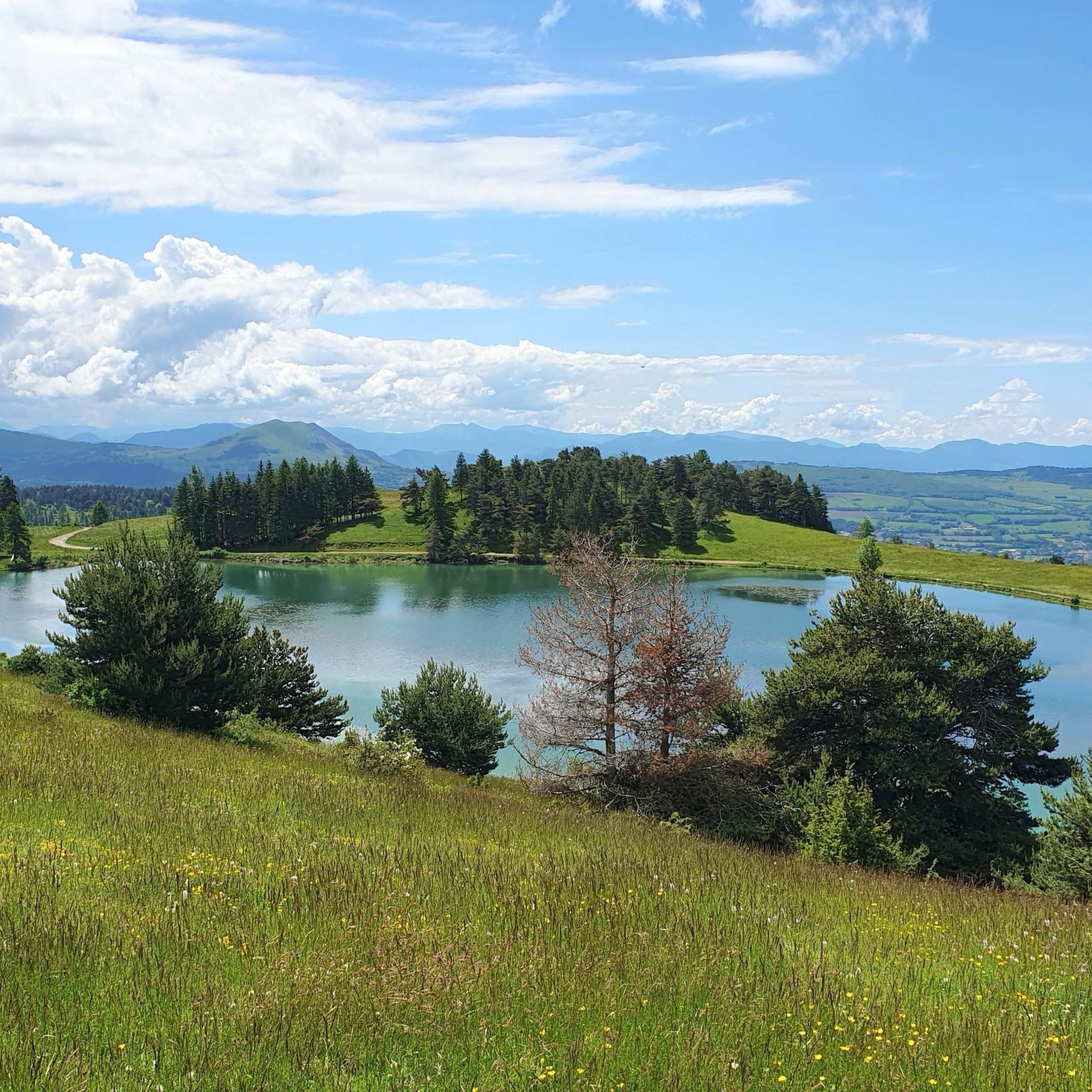
This small artificial lake is an ideal place for a quiet break. You will find a few picnic tables and trees to shelter you from the sun.
0
0
Frequently Asked Questions
How many hiking trails are available in Les Costes?
There are over 70 hiking routes around Les Costes, offering a wide range of experiences. These include 22 easy routes, 39 moderate trails, and 18 more challenging options for experienced hikers.
What kind of terrain can I expect on hikes around Les Costes?
Les Costes offers diverse terrain, from serene lakeside paths to rugged mountainous landscapes. You'll find trails winding through forests, dramatic gorges like the Gorges de l'Infernet, and areas with significant elevation changes offering panoramic views of valleys and peaks. The region is known for its varied topography, including high-altitude lakes and alpine flora.
Are there any easy or family-friendly hiking options in Les Costes?
Yes, Les Costes has 22 easy routes perfect for families or those seeking a gentle stroll. For example, the Castle ruin loop from Saint-Firmin is an easy 2.1-mile (3.4 km) trail that takes just over an hour to complete, leading through varied terrain suitable for most abilities.
Can I bring my dog on the hiking trails in Les Costes?
While specific regulations for dogs vary by trail and protected area, many natural spaces in France are dog-friendly, especially if dogs are kept on a leash. It's always best to check local signage or park rules for the specific trail you plan to hike. Generally, trails through forests and less sensitive areas are more accommodating.
What natural attractions or landmarks can I see while hiking in Les Costes?
The region is rich in natural beauty. You can explore spectacular canyons like the Infernet Gorge, known for its steep rock formations. High-altitude lakes such as the Lacs de Pétarel offer stunning colors and dramatic mountain backdrops. Many trails also provide panoramic views from mountain passes like Col du Noyer (1664 m).
Are there any circular hiking routes in Les Costes?
Yes, many routes in Les Costes are designed as loops, allowing you to start and end at the same point. An example is the Saint-Jacques en Valgaudemar loop from Le Laus, a moderate 5.2-mile (8.3 km) path exploring the scenic Valgaudemar valley.
What is the best time of year to go hiking in Les Costes?
The best time for hiking in Les Costes generally depends on the altitude and type of trail. Spring and autumn offer pleasant temperatures and vibrant scenery, with fewer crowds. Summer is ideal for higher-altitude trails and enjoying lakeside activities, though some lower trails might be warm. Winter can be beautiful for snowshoeing or specific winter hikes, especially in the mountainous areas, but requires appropriate gear and caution.
Are there opportunities to spot wildlife on the trails?
Yes, the diverse landscapes of Les Costes provide habitats for various wildlife. In areas like the Gorges de l'Infernet, you might spot peregrine falcons and wild goats. Forested trails and quieter mountain paths offer chances to observe local flora and fauna, varying with the season and altitude.
How long do hikes in Les Costes typically take?
Hikes in Les Costes vary greatly in duration. Easy trails, like the Castle ruin loop from Saint-Firmin, can be completed in just over an hour. Moderate routes, such as the Roaffan artificial lake loop from La Motte-en-Champsaur, typically take around 4.5 hours. More challenging mountain ascents can extend to a full day or even multi-day treks.
What do other hikers say about the trails in Les Costes?
The trails in Les Costes are highly rated by the komoot community, with an average score of 4.6 stars from over 100 reviews. Hikers often praise the region's diverse landscapes, from stunning lake views to dramatic mountain panoramas, and appreciate the variety of routes available for different skill levels.
Is public transport available to reach hiking trailheads in Les Costes?
Public transport options to specific trailheads in Les Costes can be limited, especially for more remote mountain routes. It's advisable to check local bus schedules or consider carpooling for easier access to many starting points. Some villages, like Villar-Loubière, might have more accessible transport links as entry points to high peaks.
Are there any challenging hikes for experienced trekkers?
Absolutely. Les Costes, particularly in the Hautes-Alpes region, offers significant mountainous terrain with challenging climbs. These routes often feature substantial elevation gains, magnificent switchbacks, and lead to high-altitude lakes and panoramic viewpoints of the Écrins massif and other peaks, providing an 'indescribable beauty' for experienced trekkers.
Are permits required for hiking in certain areas around Les Costes?
For most general hiking trails in Les Costes, permits are not typically required. However, if you plan to hike in designated national parks, nature reserves, or specific protected areas, it's always wise to check with the local park authority for any specific regulations or permit requirements, especially for overnight stays or sensitive ecological zones.
Where can I find picturesque villages or historical sites near the trails?
Some hiking routes in Les Costes pass by charming villages and historical sites. For instance, Villar-Loubière is a small picturesque village that serves as an entry point to the high peaks of Valgaudemar. Additionally, historical sites like Notre-Dame-de-la-Salette, with its church and mountainous setting, are accessible and offer cultural interest alongside natural beauty.
Are there any lakeside hiking trails in Les Costes?
Yes, the region features beautiful lakeside environments. The 'Les Costes' hiking trail near Saint-Gérons, for example, offers a pleasant experience along the edge of Saint-Étienne-Cantalès Lake, with numerous viewpoints of the water and the belvedere of the dam. Another option is the Lac de Roaffan loop from La Motte-en-Champsaur, which provides scenic views of the artificial lake.
Most popular attractions around Les Costes

Get inspired with the komoot mobile app


Explore more
Browse the best Hikes in other regions.
