The best road cycling routes around Le Plan-De-La-Tour
4.3
(663)
18,106
riders
10
rides
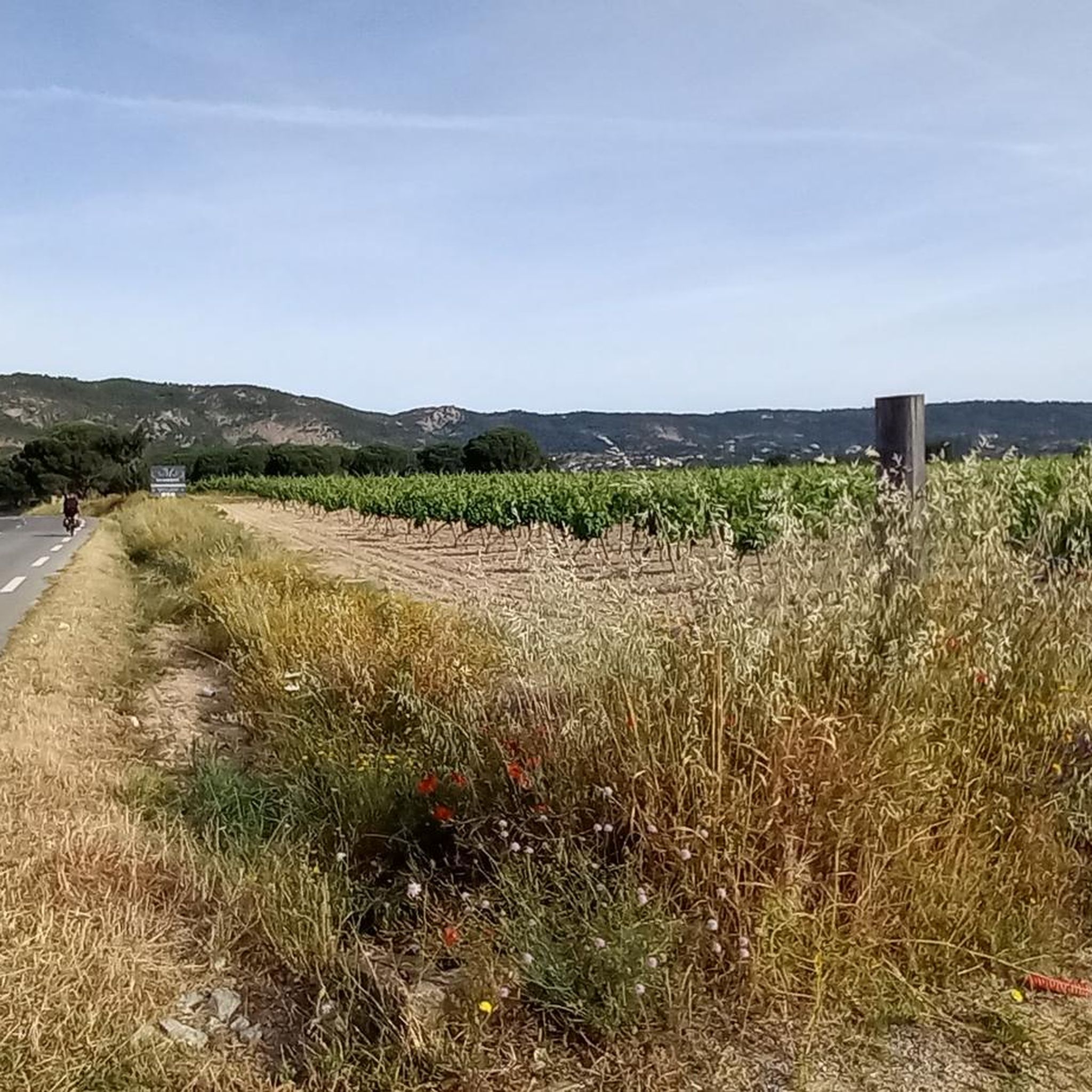
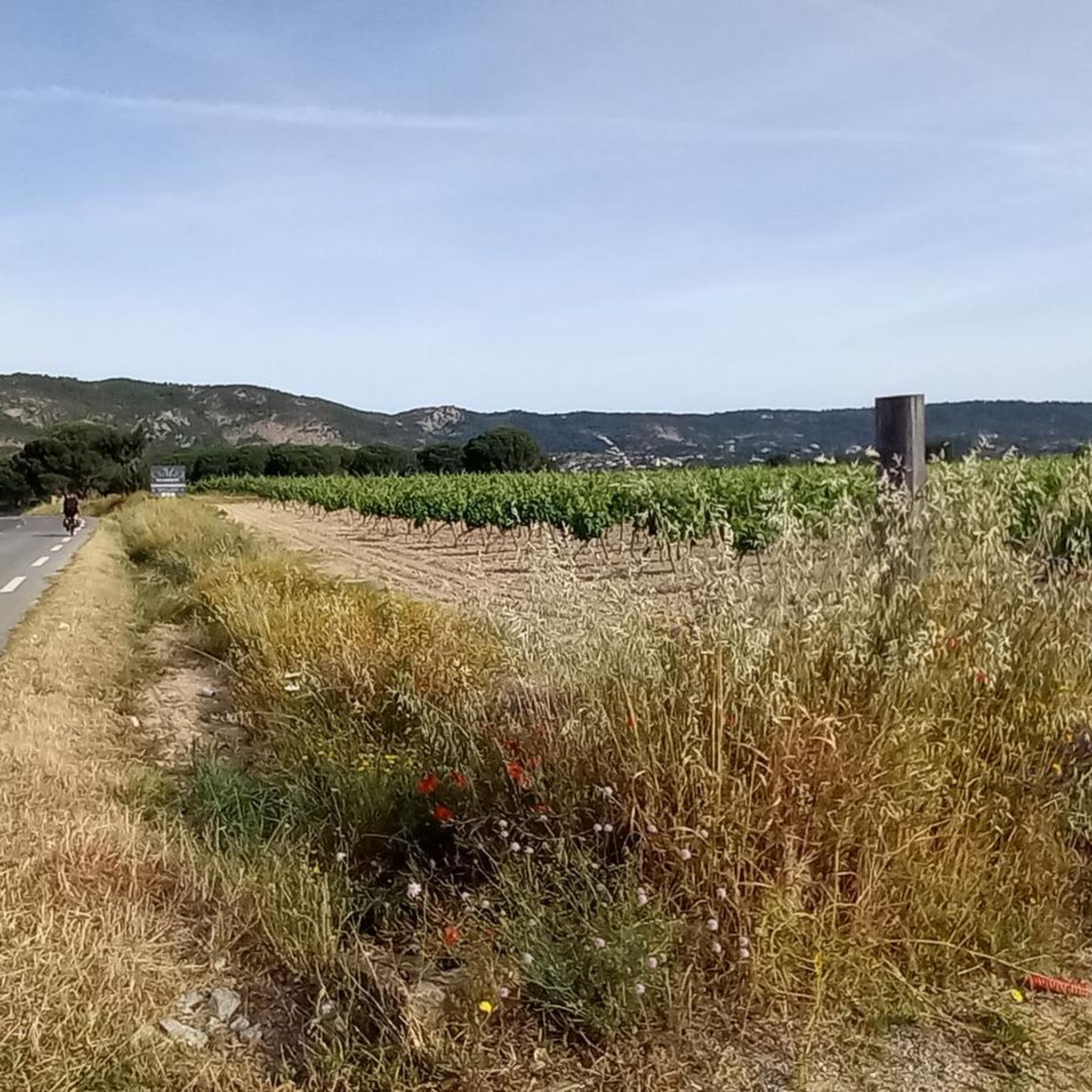
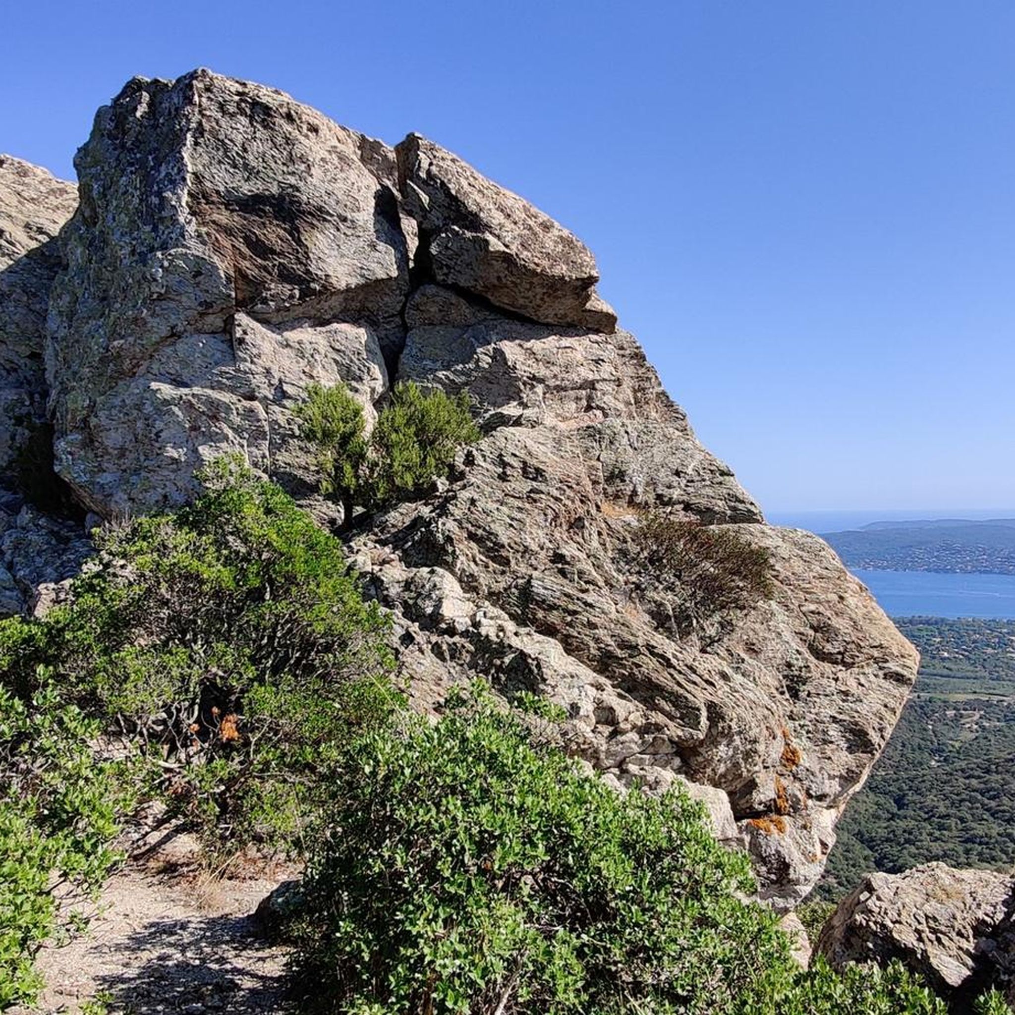
Road cycling routes around Le Plan-De-La-Tour traverse a varied landscape characterized by wooded hills, verdant vineyards, and the rugged terrain of the Massif des Maures. The region features both plains and steep ascents, with roads winding through cork oaks and small passes. This area offers diverse challenges and scenic beauty for road cyclists.
Best road cycling routes around Le Plan-De-La-Tour
- The most popular road cycling route is Col de la Valdingarde Ascent – Aqueduct of the 25 Bridges loop from…
Last updated: October 14, 2026
4.6
(5)
58
riders
55.3km
02:55
1,000m
1,000m
Hard road ride. Very good fitness required. Mostly well-paved surfaces and easy to ride.
38
riders
20.7km
01:06
380m
380m
Moderate road ride. Good fitness required. Mostly well-paved surfaces and easy to ride.

4.7
(3)
33
riders
Moderate road ride. Good fitness required. Mostly well-paved surfaces and easy to ride.
3.0
(1)
24
riders
37.7km
01:44
410m
410m
Moderate road ride. Good fitness required. Mostly well-paved surfaces and easy to ride.
5.0
(2)
29
riders
54.8km
02:59
1,060m
1,060m
Hard road ride. Very good fitness required. Mostly well-paved surfaces and easy to ride.
Get access to more routes and recommendations from other explorers.
Already have an account?
Our route recommendations are based on thousands of hikes, rides, and runs completed by other people on komoot.
Start today with a free account
Your next adventure awaits.

Other adventures around Le Plan-De-La-Tour

Tips from the Community

wonderfully beautiful landscape here
2
0

Water refill possible, drinking fountain is on the other side of the well, the bakery closes at 12:30 PM
0
0

Nice climb, not difficult, but busy!!
0
0
top, beautiful views and nice road
0
0
Beautiful climb, not too difficult and beautiful views
0
0

The climb from Roquebrune-sur-Argens is definitely worth it for the amazing views! At some point, you'll even see the Mediterranean Sea and Saint-Raphaël! The asphalt is poor, however, which isn't so much of a problem when climbing, since you're already going slowly. It gets better after the second green light, but by then you're already pretty high up. If you want to descend (again) towards Roquebrune, you have to hold the handlebars firmly and be on your guard! A few stones or hops over potholes at high speed are all it takes, and you'll quickly find yourself on the outside edge of the bend! The climb itself is manageable – only a few sections are significantly over 6%, and they're mostly short.
0
0

A beautiful and very isolated route, paved throughout. However, the surface is often not the best, so ride carefully! Narrow tires on a road bike, especially if you're not using tubeless tires, can easily lead to a flat tire.
0
0
Very bad road surface. I did the segment from north to south last week with a racing bike. It is a miracle that I did not get a flat tire. Especially the (long) descent to Roquebrune is in very bad condition. It might be better to do the ride in the opposite direction so that the speed is lower a where the road is worst.
0
0
Frequently Asked Questions
How many road cycling routes are available around Le Plan-De-La-Tour?
There are over 10 road cycling routes around Le Plan-De-La-Tour, offering a variety of experiences for different skill levels. These routes are highly rated by the komoot community, with an average score of 4.1 stars.
What kind of terrain can I expect on road cycling routes in Le Plan-De-La-Tour?
The region offers a diverse landscape, from an amphitheater of wooded and flowery hills to verdant vineyards, olive orchards, and forests of umbrella pine, oak, and cork trees. You'll encounter both plains and steep ascents, with roads winding through the rugged Massif des Maures. The roads are generally well-paved, though some longer, more challenging routes might include unpaved segments.
What are the difficulty levels of road cycling routes in this region?
Le Plan-De-La-Tour provides options for all fitness levels. There are 3 easy routes, 3 moderate routes, and 4 difficult routes. For example, the Col de la Valdingarde Ascent – Aqueduct of the 25 Bridges loop is a challenging ride with over 1,000 meters of elevation gain, while the Col de Vignon – Le Plan-de-la-Tour loop is a moderate option.
What is the best time of year for road cycling in Le Plan-De-La-Tour?
The region is generally pleasant for cycling. The Tanneron massif, with its granite hills and thick vegetation, including wild mimosa, offers cooler temperatures in summer, which can be a consideration for longer rides. Spring and autumn typically provide ideal conditions with milder weather and beautiful scenery.
Are there any scenic viewpoints or natural features to look out for on road cycling routes?
Absolutely. The routes often traverse the wild and dramatic Massif des Maures, characterized by cork oaks, strawberry trees, and heather. You might also encounter features like the Caramy Gorges or the Tanneron massif. Keep an eye out for the two ancient menhirs near a stream. For specific natural attractions, consider visiting Lake Escarcets or the Plaine des Maures Nature Reserve.
Can I combine my road cycling trip with other outdoor activities in Le Plan-De-La-Tour?
Yes, Le Plan-De-La-Tour is an excellent base for various outdoor pursuits. Beyond cycling, you can explore numerous hiking trails, from easy walks through vineyards to more challenging paths leading to panoramic viewpoints like the Oppidum of the FIPA of Raybaud. The wider Var department also offers activities such as paragliding, climbing, and via ferrata, like the Via Ferrata de Fréjus.
Are there any easy road cycling routes suitable for beginners in Le Plan-De-La-Tour?
Yes, there are 3 easy road cycling routes available. While specific beginner routes are not detailed, the region offers options with less elevation gain, allowing for a more relaxed ride through the picturesque countryside and vineyards. These routes are perfect for those looking for a gentler introduction to road cycling in the area.
Are there challenging routes for experienced road cyclists?
Experienced road cyclists will find 4 difficult routes to test their endurance. The Col de la Valdingarde Ascent – Aqueduct of the 25 Bridges loop, at 55.3 km with over 1,000 meters of elevation, is a prime example. Another demanding option is the Col de Vignon – La Garde Freinet - Grimaud loop, which covers 54.0 km with over 1,000 meters of climbing.
What are some popular road cycling routes that connect to nearby towns or attractions?
Many routes offer connections to charming nearby areas. For instance, the Port of Saint-Tropez loop is a moderate 37.7 km ride that takes you to the renowned coastal town. Other routes wind through small passes and descend into plains amidst vineyards, offering a glimpse into the local Provençal life.
Are there circular road cycling routes available in Le Plan-De-La-Tour?
Yes, many of the road cycling routes around Le Plan-De-La-Tour are designed as loops, allowing you to start and finish in the same location. Examples include the Col de la Valdingarde Ascent – Aqueduct of the 25 Bridges loop and the Natural swiming pool – Bridge on the Route de Vidauban loop.
What can I explore in Le Plan-De-La-Tour village itself after a ride?
Le Plan-De-La-Tour village offers charming strolls through its old town, featuring picturesque houses, cobbled streets, and leafy squares. You can visit the Saint-Martin church and its campanile, discover traditional fountains and wells, or experience the vibrant Provençal market held on Thursdays in Place Foch, shaded by plane trees. For more information about the village, you can visit sainttropeztourisme.com.
What do other road cyclists enjoy most about road cycling in Le Plan-De-La-Tour?
The area is highly rated by the komoot community, with an average score of 4.1 stars from over 10 reviews. Reviewers often praise the varied terrain, from wooded hills to vineyards, and the scenic beauty of the Massif des Maures. The well-maintained roads and diverse challenges for all fitness levels are also frequently highlighted.
Most popular routes around Le Plan-De-La-Tour
Most popular attractions around Le Plan-De-La-Tour

Get inspired with the komoot mobile app


Explore more
Browse the best Road cycling routes in other regions.
