The best running trails around Obermorschweiler
4.3
(217)
4,816
runners
328
runs
Jogging routes around Obermorschweiler traverse the picturesque Sundgau region in northeastern France, characterized by its diverse and accessible natural landscapes. The area features rolling hills, green pastures, and dense forests, providing varied terrain for runners. To the south, the foothills of the Alsatian Jura offer more challenging topography and scenic views. The presence of river valleys and numerous ponds further diversifies the landscape, creating a tranquil environment for running.
Best jogging routes around Obermorschweiler
- The most popular jogging route is…
Last updated: October 8, 2026
5.0
(1)
14
runners
4.84km
00:33
50m
50m
Easy run. Great for any fitness level. Mostly paved surfaces. Suitable for all skill levels.
8
runners
9.80km
01:02
140m
140m
Moderate run. Good fitness required. Mostly paved surfaces. Suitable for all skill levels.

5
runners
7.77km
00:51
80m
80m
Moderate run. Good fitness required. Mostly paved surfaces. Suitable for all skill levels.
4
runners
8.55km
00:55
60m
60m
Moderate run. Good fitness required. Mostly paved surfaces. Suitable for all skill levels.
4
runners
12.0km
01:18
220m
220m
Moderate run. Good fitness required. Mostly paved surfaces. Suitable for all skill levels.
Get access to more routes and recommendations from other explorers.
Already have an account?
Our route recommendations are based on thousands of hikes, rides, and runs completed by other people on komoot.
Start today with a free account
Your next adventure awaits.


Tips from the Community


A few more photos and texts can be found in the corresponding hiking highlight in the komoot system, under the title "Chapelle Notre-Dame-des-Neiges" it can be reached with the following link =>>https://www.komoot.com/de-de/highlight/3297592
0
0
Many churches in France, including this chapel, are dedicated to the Virgin Mary under the widely used title "Notre-Dame" (in German: "Our Dear Lady"). A brief thought on the Mother of God from Albino Luciani (Pope John Paul I): "Mary is indeed our sister, as Saint Ambrose says. She led a life very similar to ours. It is of course beautiful to venerate Mary as the Virgin and Mother of God, as the one conceived immaculately by original sin and taken up into heaven; but she is also the Madonna of plates, brooms and cooking pots..." The visitor to the small Marian shrine can decide for himself which "Notre-Dame" he would like to venerate here.
0
0

A pretty village, mentioned for the first time in 837. Stroll through the town center and towards the Notre Dame des Neiges chapel in front of which are two beautiful old lime trees.
1
1

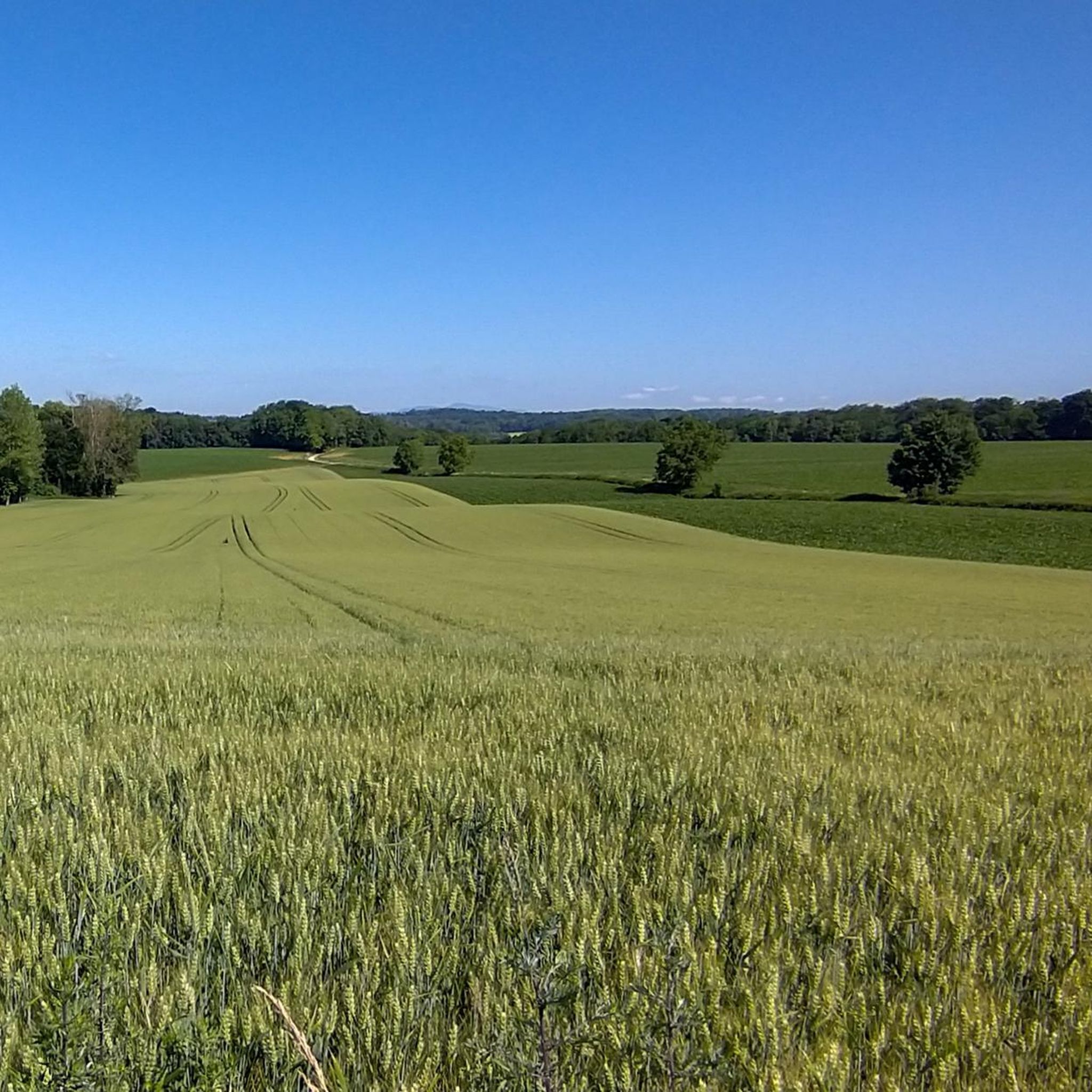
Very beautiful view over the Tagolsheim valley and the Vosges in the distance.
0
0

This corner is very pretty! The paths from here require a gravel bike or at least reinforced tires if you take a road bike. The view is superb, in the middle of wooded paths. The chapel is located in a green park that is worth the detour!
1
0

First mention of the chapel in 1598, then new construction 1621-23. Destruction under the revolution, then reconstruction in 1816. Frescoes painted in 1950.
1
0
Frequently Asked Questions
How many running routes are available around Obermorschweiler?
There are over 300 running routes in the Obermorschweiler area, offering a wide variety of options for all fitness levels. The komoot community has explored these trails over 4000 times.
What kind of terrain can I expect on the running trails in Obermorschweiler?
The running trails around Obermorschweiler traverse the picturesque Sundgau region, characterized by its diverse and accessible natural landscapes. You'll find a mix of rolling hills, green pastures, and dense forests. To the south, the foothills of the Alsatian Jura offer more challenging topography, while river valleys and numerous ponds provide flatter, tranquil environments.
Are there running routes suitable for beginners or those looking for an easy jog?
Yes, Obermorschweiler offers several easy running routes. For instance, the Running loop from Walheim is an easy 3.0-mile (4.8 km) trail that provides a gentle introduction to the local landscape. Overall, there are 22 easy routes available.
Can I find challenging running trails for more experienced runners?
Absolutely. For those seeking a more strenuous workout, the area provides 35 difficult routes. An example is the Altenberg loop from Steinbrunn-le-Haut, a 15.6-kilometer (9.7-mile) trail with significant elevation changes, ideal for experienced runners.
Are there circular running routes available?
Yes, many of the running paths around Obermorschweiler are designed as loops, allowing you to start and finish at the same point. For example, the Running loop from Steinbrunn-le-Haut is a popular moderate 5.5-mile (8.8 km) circular path that explores the region's characteristic rolling hills.
What natural features or landmarks can I see while running in the area?
While jogging, you can enjoy the region's natural beauty, including gorgeous forests, mysterious woodlands, and the serene valleys of the Ill and Largue Rivers. The Sundgau region is also known for its 'over 400 ponds'. For man-made landmarks, you might encounter highlights such as the Zillisheim Drawbridge and Lock No. 35 or the Grand Cannon of Zillisheim, which are part of the broader network of attractions.
How do other runners rate the trails in Obermorschweiler?
The running routes in Obermorschweiler are highly rated by the komoot community, with an average score of 4.1 stars from over 160 reviews. Runners often praise the varied terrain, the tranquil environment, and the extensive network of well-maintained trails.
Is Obermorschweiler a good place for family-friendly running or walks?
The region's diverse landscape, with its rolling hills and forests, offers many opportunities for family-friendly outdoor activities. While specific 'family-friendly' running routes are not explicitly categorized, the numerous easy and moderate trails, like the Running loop from Walheim, are suitable for families looking for a gentle jog or walk together.
Can I bring my dog on the running trails?
The natural setting of Obermorschweiler, with its extensive network of trails through forests and pastures, is generally welcoming for dogs. However, it's always recommended to keep your dog on a leash, especially in agricultural areas or near wildlife, and to check local regulations for specific trails or nature reserves.
Are there parking facilities available near the trailheads?
While specific parking locations for every trailhead are not detailed, the region's focus on green tourism and accessibility suggests that parking is generally available in or near the villages that serve as starting points for many routes, such as Steinbrunn-le-Haut or Walheim.
What is the best time of year to go running in Obermorschweiler?
The Sundgau region, encompassing Obermorschweiler, offers beautiful running conditions throughout much of the year. Spring and autumn provide pleasant temperatures and vibrant scenery with blooming flowers or colorful foliage. Summer offers shaded paths through the dense forests, while winter can transform the landscape into a serene, snowy wonderland, though some trails might require more appropriate footwear.
Are there any running routes that lead through dense forests?
Yes, the area is known for its 'gorgeous forests' and 'mysterious woodlands'. The Luemschwiller – Memorial Bench in the Forest loop from Steinbrunn-le-Haut is a prime example, leading you through dense forests for much of its 7.9-mile (12.7 km) length, offering a tranquil and shaded running experience.
Can I reach the running routes using public transport?
While Obermorschweiler is a commune in a rural setting, the broader Sundgau region has some public transport options connecting its villages. For specific trail access, it's advisable to check local bus schedules or regional transport links to the starting points of your chosen routes, such as Steinbrunn-le-Haut or Walheim.
Most popular routes around Obermorschweiler
Most popular attractions around Obermorschweiler

Get inspired with the komoot mobile app


Explore more
Browse the best Running Trails & Routes in other regions.
