The best road cycling routes around Obermorschweiler
4.6
(187)
4,099
riders
241
rides
Road cycling routes around Obermorschweiler are characterized by a landscape of canals, rivers, and open agricultural fields, offering predominantly flat to gently rolling terrain. The region's topography is shaped by waterways like the Rhône–Rhine Canal and the Ill river, providing numerous opportunities for extended, low-gradient rides. Elevation changes are generally minimal, with some routes featuring gradual ascents over longer distances.
Best road cycling routes around Obermorschweiler
- The most popular road cycling route is Riverside open-air tavern – Pace along the…
Last updated: October 6, 2026
5.0
(2)
165
riders
112km
05:06
1,210m
1,210m
Hard road ride. Very good fitness required. Some segments of this route may be unpaved and difficult to ride.
5.0
(3)
54
riders
107km
04:30
520m
520m
Moderate road ride. Good fitness required. Some segments of this route may be unpaved and difficult to ride.

5.0
(1)
55
riders
106km
04:56
1,220m
1,220m
Hard road ride. Very good fitness required. Mostly well-paved surfaces and easy to ride.
5.0
(7)
128
riders
Easy road ride. Great for any fitness level. Mostly well-paved surfaces and easy to ride.
5.0
(1)
44
riders
50.7km
02:19
540m
540m
Moderate road ride. Good fitness required. Mostly well-paved surfaces and easy to ride.
Get access to more routes and recommendations from other explorers.
Already have an account?
Our route recommendations are based on thousands of hikes, rides, and runs completed by other people on komoot.
Start today with a free account
Your next adventure awaits.


Tips from the Community

Of the three sides of the Ballon d'Alsace, this is clearly the most difficult (the only one with gradients of 9-10%)... but it is certainly the most beautiful! The hairpin bends at the start of the climb before the Alfeld lake are sublime. The road then evolves along the mountainside, unfortunately no more hairpin bends, this section can seem long for some, the gradient remains between 8 and 9%. It decreases when you reach the Langenberg... you have done the difficult part, there are still 4 km to the top. After that, there is a mix of flat sections and climbs with a natural clearing 1 km from the top, from where you have a panoramic view of the valley.
6
0
Een schilderachtig stuwmeer langs de beklimming van de Ballon d'Alsace, omringd door de beboste hellingen van de Vogezen. 🚴⛰️🌲
7
0
A spectacular hairpin bend on the climb to the Ballon d'Alsace. As the road winds its way up the slope, beautiful views open up over the wooded valley of the Vosges.
6
0
A picturesque mountain lake at the foot of the Ballon d'Alsace, surrounded by forests and steep slopes. 🚴♂️🏞️⛰️
6
0

The Rhine with its beautiful bridges is always beautiful.
0
0

René Pottier was the first participant to cross a pass by bicycle. The first pass of the Tour de France was the Ballon d'Alsace.
2
0

The Ballon d’Alsace or the Vosges was the first mountain tour of the third edition of the Tour de France from July 9 to 30, 1905, in the second, 299 km long stage between Nancy and Besançon. Also in the fourth edition of the Tour de France the following year, from July 4 to 29, 1906, the route, also on the second stage, this time 400 km, went from Douai to Nancy via the Ballon d’Alsace.
1
0

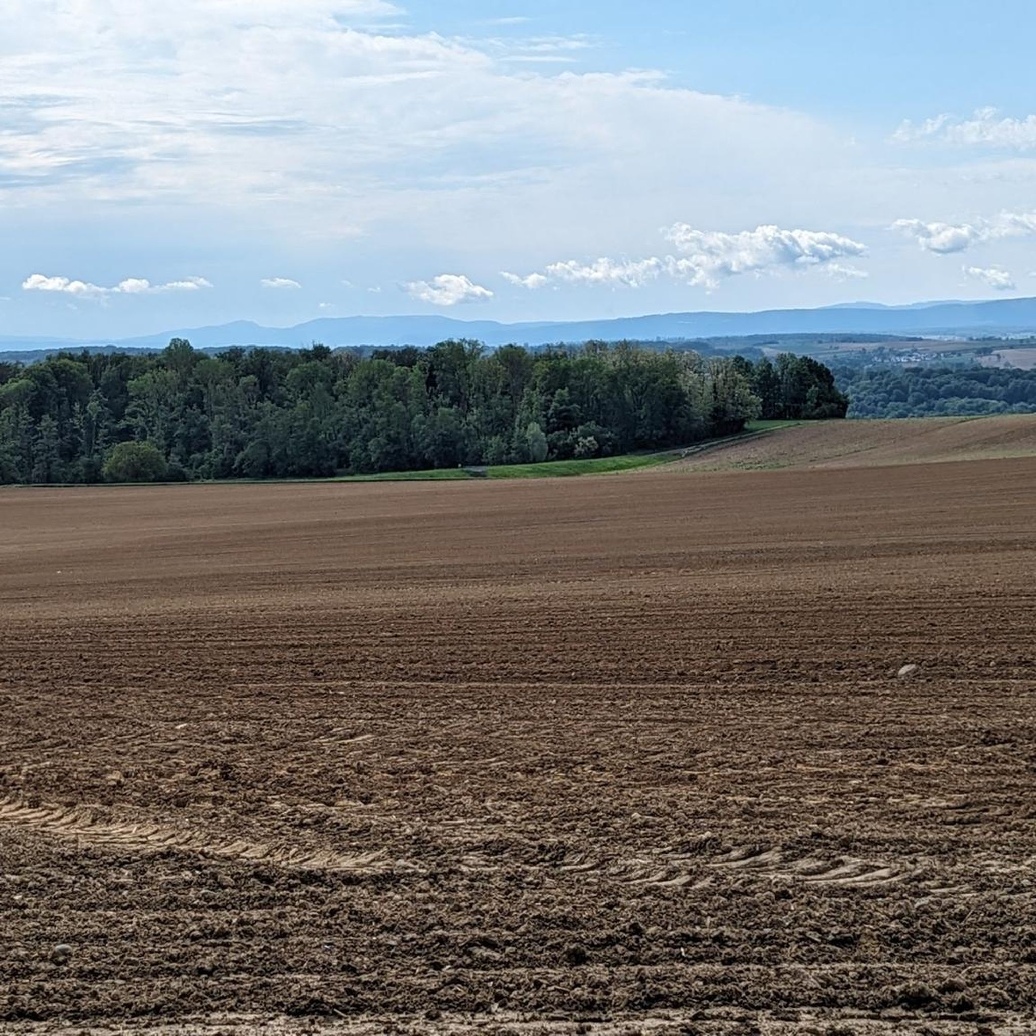
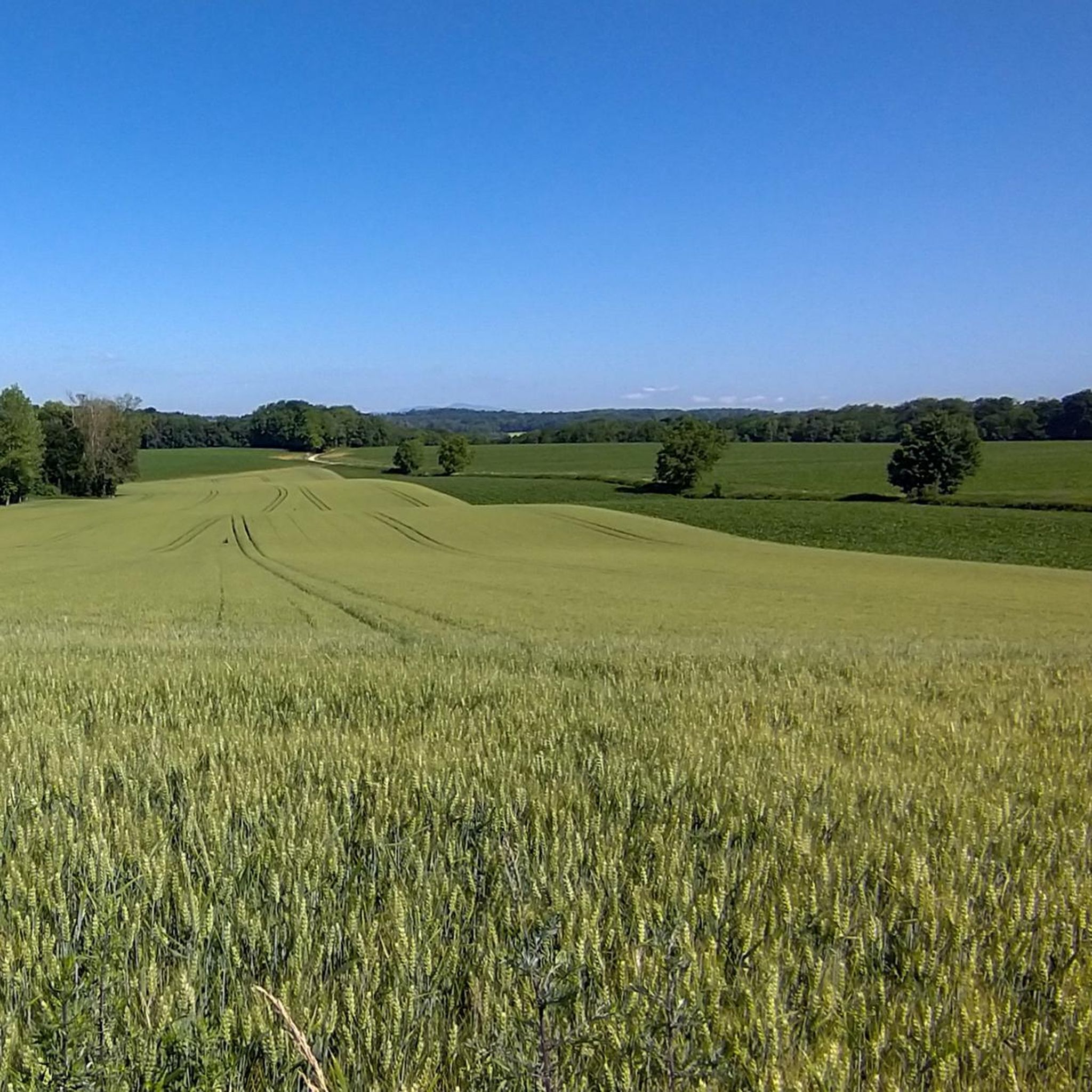
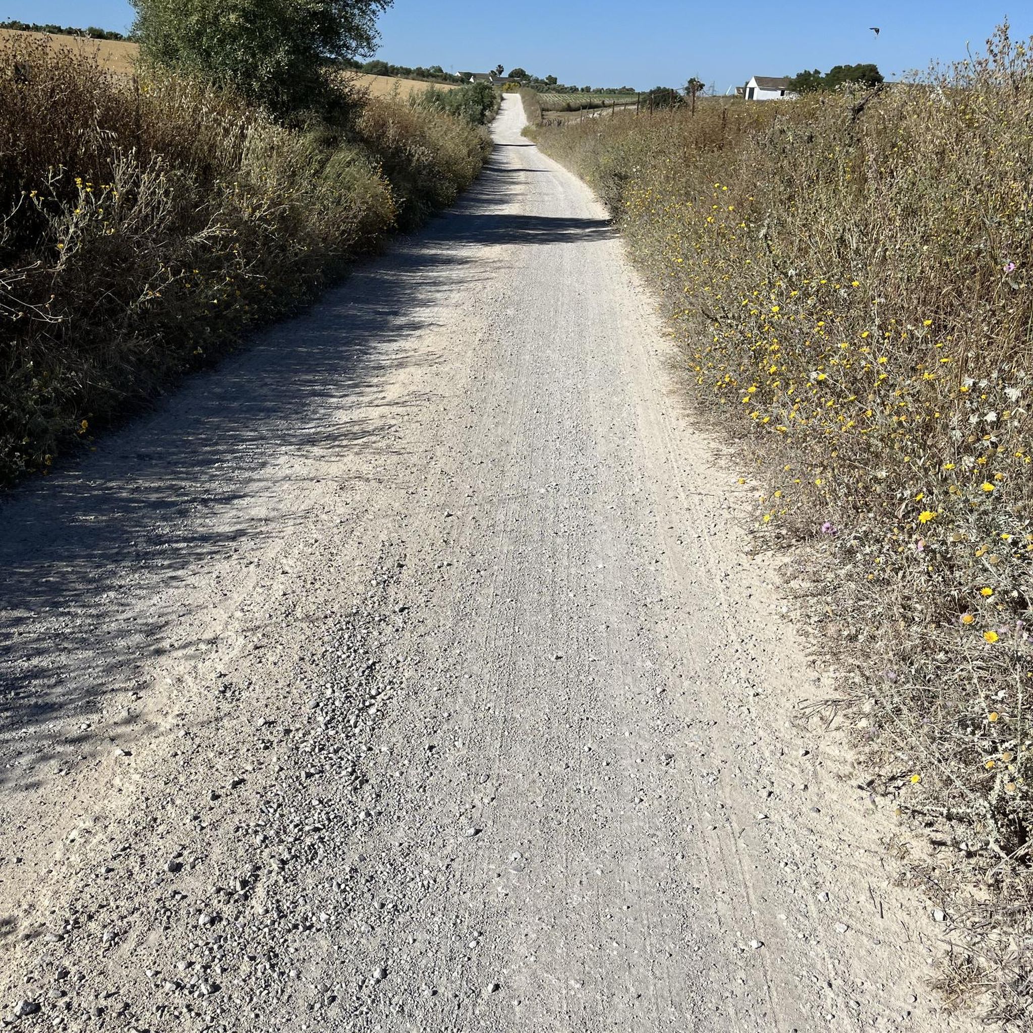
I can only agree with Mattia: it's a short stretch of road through fields, but otherwise completely unspectacular, not even worth a tip...
0
0
Frequently Asked Questions
How many road cycling routes are available around Obermorschweiler?
There are over 230 road cycling routes available around Obermorschweiler, offering a wide range of options for different skill levels and preferences.
What kind of terrain can I expect when road cycling near Obermorschweiler?
The region around Obermorschweiler is characterized by a landscape of canals, rivers, and open agricultural fields. You can expect predominantly flat to gently rolling terrain, with minimal elevation changes, making it ideal for extended, low-gradient rides along waterways like the Rhône–Rhine Canal and the Ill river.
Are there road cycling routes suitable for beginners in Obermorschweiler?
Yes, Obermorschweiler offers many routes suitable for beginners. There are over 50 easy road cycling routes, often following canals with minimal elevation gain. For example, the Riverside open-air tavern – Pace along the canal loop from Walheim is an easy 18.9-mile (30.4 km) trail, perfect for a relaxed ride.
Are there challenging road cycling routes for experienced riders?
Yes, for experienced riders seeking more of a challenge, there are over 35 difficult road cycling routes around Obermorschweiler. These routes often feature longer distances and more significant elevation gains compared to the flatter canal paths, providing a good workout.
Can I find circular road cycling routes in the Obermorschweiler area?
Many of the road cycling routes around Obermorschweiler are designed as loops, allowing you to start and end at the same point. A popular moderate option is the Rhône–Rhine Canal – Niffer Lock loop from Walheim, which covers 66.9 miles (107.6 km) through canal-side paths and open countryside.
What interesting sights can I see along the road cycling routes?
Along the road cycling routes, you can encounter various interesting sights, particularly related to the region's waterways. Keep an eye out for structures like the Zillisheim Drawbridge and Lock No. 35, the Eglingen Lock, and the Rhône–Rhine Canal – Mulhouse section, which are often part of the scenic canal paths.
What is the best time of year for road cycling in Obermorschweiler?
The best time for road cycling in Obermorschweiler is generally from spring through early autumn (April to October). During these months, the weather is typically mild and pleasant, and the agricultural fields and canal paths are at their most scenic. Autumn can also offer beautiful foliage, though it's wise to check local conditions.
Are there places to stop for a picnic or a coffee break along the routes?
Given the region's agricultural and canal-side nature, you'll find various spots suitable for a picnic, especially along the waterways. Many villages along the routes also offer local cafes or bakeries where you can stop for a coffee and a snack. It's always a good idea to check your chosen route for specific amenities beforehand.
What do other road cyclists enjoy about the routes around Obermorschweiler?
The road cycling routes around Obermorschweiler are highly rated by the komoot community, with an average score of 4.6 stars from over 130 reviews. Cyclists often praise the predominantly flat terrain along the canals, the scenic agricultural landscapes, and the well-maintained paths that make for enjoyable and accessible rides.
Are there any family-friendly road cycling routes?
Yes, many of the easy, flat routes along the canals are very suitable for families. These paths are generally well-surfaced and have minimal traffic, providing a safe and enjoyable environment for cyclists of all ages. The Eglingen Lock – Port of Dannemarie loop from Tagolsheim is an easy 19.8-mile (31.8 km) path featuring flat terrain along canals and past locks, which is great for a family outing.
What are some longer road cycling options for a full day out?
For a full day out, consider routes that cover more distance. The Rhône–Rhine Canal – Niffer Lock loop from Walheim is a moderate 66.9-mile (107.6 km) trail that takes approximately 4 hours 31 minutes, offering extensive canal-side riding and open countryside. Another option is the Hausgauen <-> Grenzingen – Wittersdorf loop from Hausgauen, a 57.8 km route with moderate elevation.
Most popular routes around Obermorschweiler
Most popular attractions around Obermorschweiler

Get inspired with the komoot mobile app


Explore more
Browse the best Road cycling routes in other regions.
