The best running trails around Saint-Flour-De-Mercoire
3.8
(27)
1,908
runners
73
runs
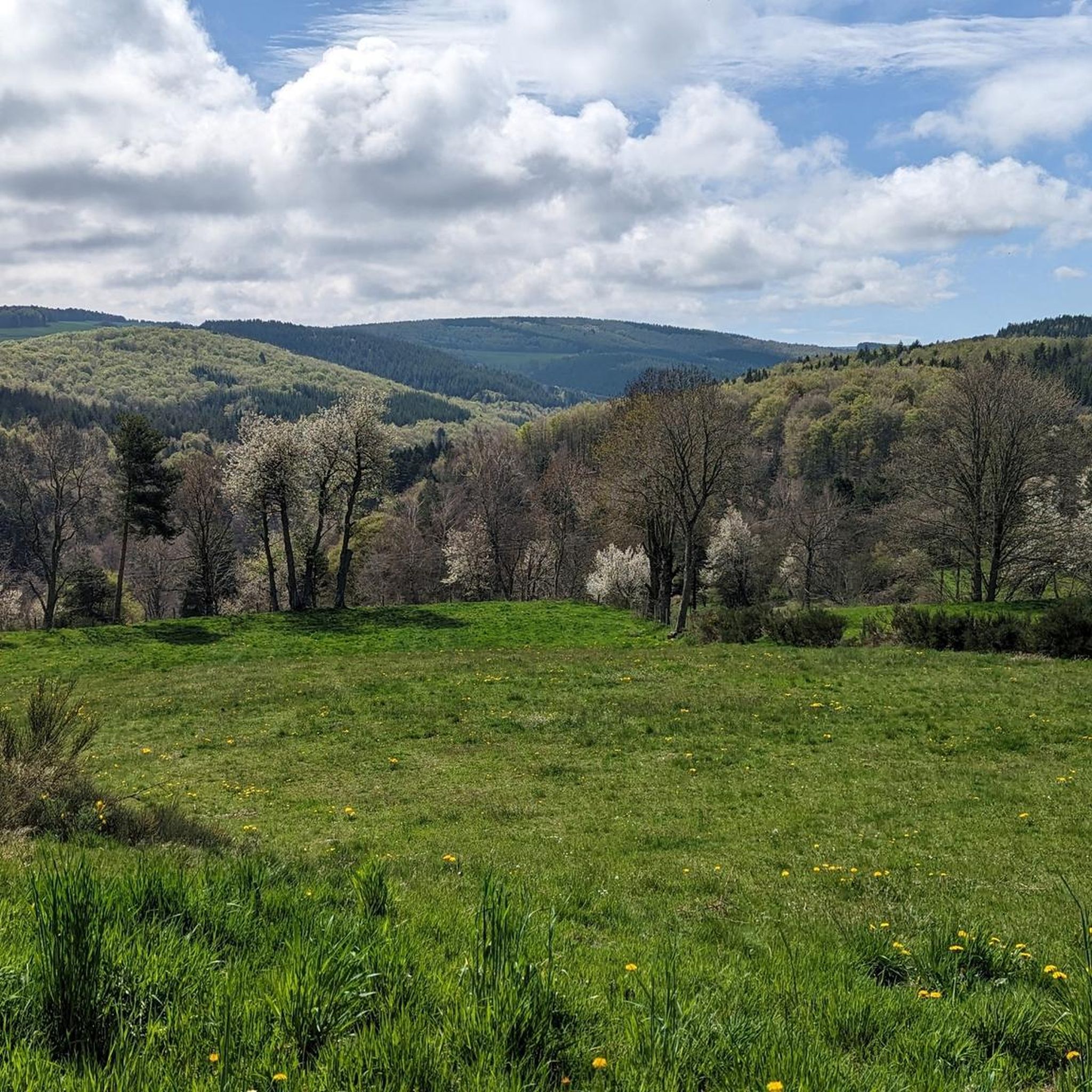
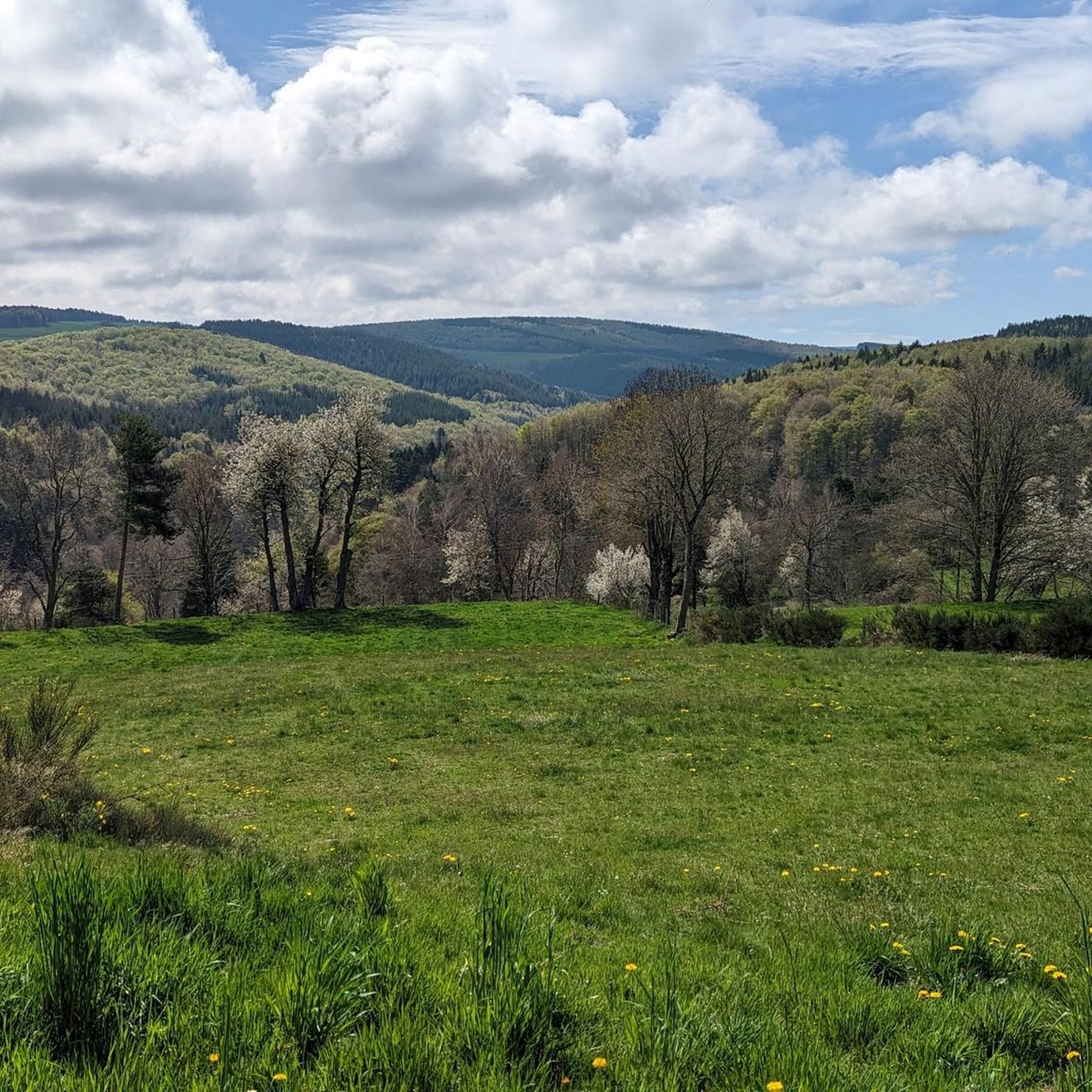
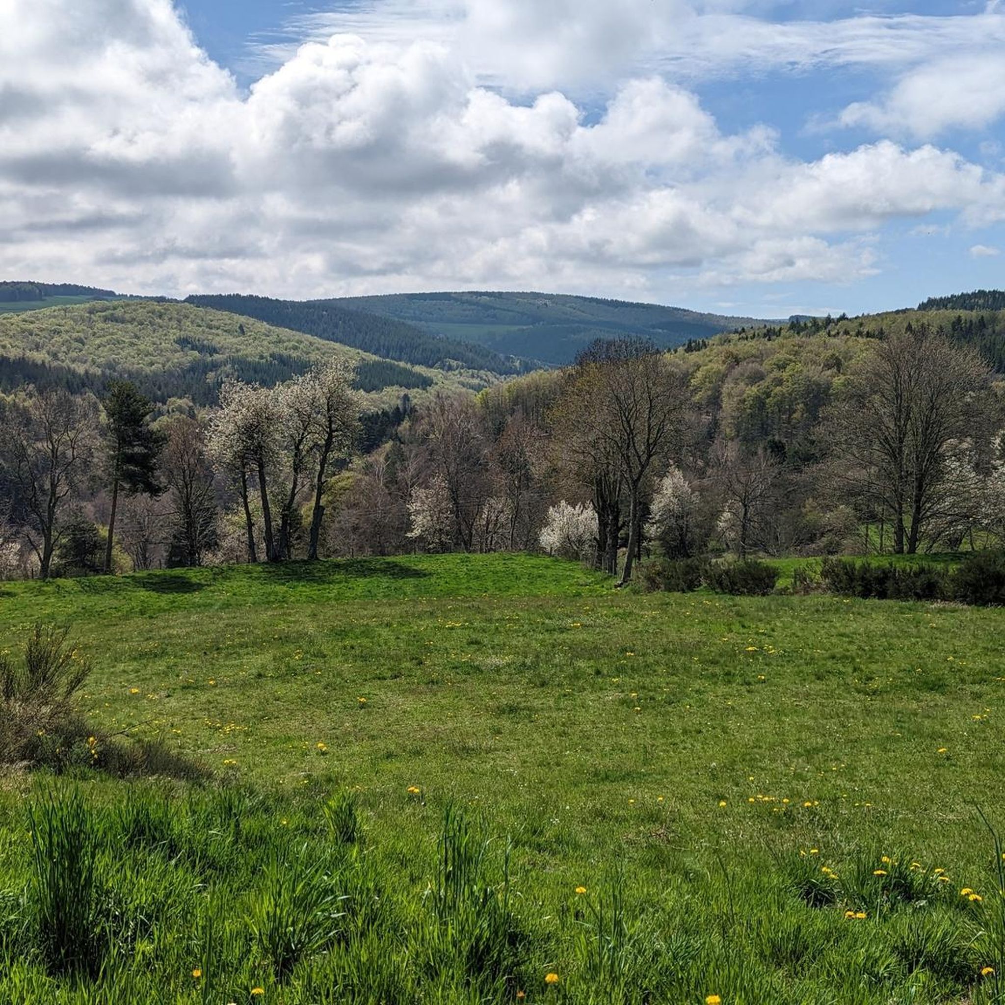
Jogging routes around Saint-Flour-De-Mercoire are set within France's Lozère department, characterized by a mountain climate and a granite plateau at 1,000 meters elevation. The area borders the Mercoire forest and is interwoven with valleys and rivers like the Donozau and Langouyrou. Runners can explore diverse landscapes, including parts of the Cévennes National Park and the expansive forests of Margeride.
Best jogging routes around Saint-Flour-De-Mercoire
- The most popular jogging route is Lake Naussac – Donozau Waterfall loop from Langogne, a…
Last updated: October 2, 2026
4.5
(2)
265
runners
8.11km
00:56
50m
50m
Moderate run. Good fitness required. Mostly paved surfaces. Suitable for all skill levels.
1.0
(1)
240
runners
5.65km
00:37
20m
20m
Moderate run. Good fitness required. Mostly paved surfaces. Suitable for all skill levels.

4.0
(4)
73
runners
13.2km
01:28
140m
140m
Moderate run. Good fitness required. Mostly paved surfaces. Suitable for all skill levels.
3.0
(1)
41
runners
6.06km
00:40
70m
70m
Moderate run. Good fitness required. Mostly paved surfaces. Suitable for all skill levels.
42
runners
16.5km
01:52
190m
190m
Hard run. Very good fitness required. Mostly paved surfaces. Suitable for all skill levels.
Get access to more routes and recommendations from other explorers.
Already have an account?
Our route recommendations are based on thousands of hikes, rides, and runs completed by other people on komoot.
Start today with a free account
Your next adventure awaits.

Tips from the Community

Beautiful route to do by bike, running or just walking. Allowing you to enjoy the lake of Naussac (its fauna and flora) in a short tour. Then in a big tour of the lake the Donozau waterfall for a big tour of the lake.
0
0


As you skirt the Naussac reservoir, you will discover the Cascade du Donozau. This waterfall, which cascades down a small rock face, creates a picturesque scene ideal for a peaceful picnic. The surrounding area offers a variety of hiking trails that will allow you to explore the diverse landscapes of the region.
1
0

This charming rural town located in the heart of Margeride offers an ideal setting for cycling. Its cafes and restaurants allow you to stop there in the middle or end of your outing.
1
0

Sitting at 920 metres (3,018 ft), Langogne is a picturesque rural commune with plentiful food and accommodation options. You can take a break in one of its numerous cafés in the old centre.
0
0

Transit link between Vivarais, Velay and South of France, Langogne emerges from its ramparts in the 18th century century. In 1743, Dom Ambroise de Fleury, Prior of the city, made build the Hall, with its fourteen pillars, one of the most large preserved in France. It is a place for the exchange of cereals, farm products, leather, local wool, for chestnuts from the Cévennes, wines and oils from Provence, and other goods from the South and the Mediterranean.
3
0

A true inland sea of 1050 hectares of limpid blue! Supervised beaches, snack bar, hiking trails...
1
0

Langogne is at the heart of many sites perfect for hiking and outdoor activities. It is a territory with a thousand facets, in the middle of Margeride, a few steps from Lake Naussac and the Haut-Allier gorges. The town is also home to some cultural gems that are worth a visit such as the Chastanier sacred art museum, the thousand-year-old city of Langogne or the Filature des Calquières museum.
4
0
Frequently Asked Questions
How many running routes are available around Saint-Flour-de-Mercoire, and what are their difficulty levels?
There are over 60 running routes around Saint-Flour-de-Mercoire. These include a variety of options: approximately 5 easy routes, around 40 moderate routes, and about 20 difficult routes, catering to different fitness levels and preferences.
Are there circular running paths available in the Saint-Flour-de-Mercoire area?
Yes, many of the running paths around Saint-Flour-de-Mercoire are circular, offering convenient loops back to your starting point. For example, the Lake Naussac – Donozau Waterfall loop from Langogne is a popular 9.5-mile circular trail, and the Donozau waterfall loop from Saint-Flour-de-Mercoire provides a scenic 5.6-mile loop directly from the village.
Can I find running routes that feature waterfalls in this region?
Absolutely! The region is known for its picturesque waterfalls. You can explore routes that pass by the Cascade du Donozau, such as the Lake Naussac – Donozau Waterfall loop from Langogne or the Donozau waterfall loop from Saint-Flour-de-Mercoire. The Cascade de Pissevieille is another notable waterfall in the area that can be incorporated into your running adventures.
What kind of landscapes can I expect to see while jogging around Saint-Flour-de-Mercoire?
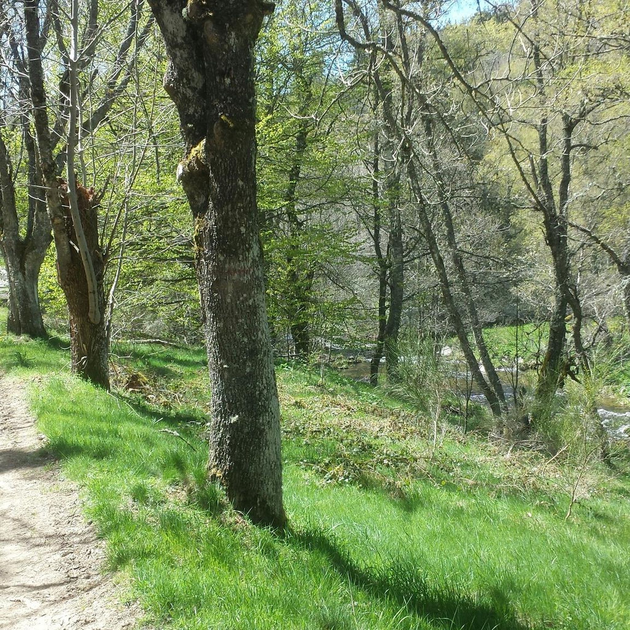
Jogging around Saint-Flour-de-Mercoire offers a diverse range of landscapes. You'll experience granite plateaus, dense beech and pine forests, and picturesque river valleys like those of the Langouyrou and Allier. The area borders the Mercoire forest and includes parts of the Cévennes National Park, providing varied terrain from meadows to woods, with panoramic views of the wider Massif Central.
Are there options for longer distance running or trail running in the area?
Yes, Saint-Flour-de-Mercoire is well-suited for longer runs and trail running. The famous Robert Louis Stevenson Trail (GR 70) passes directly through the area, offering extensive opportunities. Additionally, the Auradoux Pond – Lake Auradoux loop from Langogne - Lespéron Airport is a challenging 28.3-mile route for those seeking a significant distance.
What do other runners enjoy most about jogging in Saint-Flour-de-Mercoire?
The running routes in Saint-Flour-de-Mercoire are highly rated by the komoot community, with an average score of 3.6 stars from 11 reviews. Runners often praise the diverse landscapes, from tranquil forests to scenic river valleys, and the well-established network of trails that cater to various abilities. The natural beauty and varied terrain are frequently highlighted.
Are there any notable landmarks or attractions I can explore near the running trails?
Yes, the region offers charming cultural and historical attractions. You can explore the 'Most Beautiful Villages' of Langogne, Pradelles, and La Garde-Guerin. Historical sites like Luc Castle, Besset Gate, and the Saint-Pierre Church are also within reach, adding a cultural dimension to your outdoor experience.
Is the area suitable for running with dogs?
While specific dog-friendly routes are not explicitly listed, the natural environment of Saint-Flour-de-Mercoire, with its extensive forests and trails, generally provides ample opportunities for running with dogs. It's always recommended to keep dogs on a leash, especially in protected areas like parts of the Cévennes National Park, and to respect local regulations and wildlife.
What is the terrain like for running in Saint-Flour-de-Mercoire?
The terrain around Saint-Flour-de-Mercoire is quite varied. You'll encounter a granite plateau at an elevation of 1,000 meters, rolling hills through the forests of Margeride, and paths along river valleys. The trails often traverse through meadows and woods, offering a mix of surfaces suitable for trail running and jogging.
Are there any running routes that offer views of lakes?
Yes, Lac de Naussac is a prominent feature in the area, offering beautiful routes around its shores. The Lake Naussac – Donozau Waterfall loop from Langogne provides excellent views of the lake. Additionally, the Auradoux Pond – Lake Auradoux loop from Langogne - Lespéron Airport also features scenic sections around Lake Auradoux.
Can I find easy or beginner-friendly jogging routes in Saint-Flour-de-Mercoire?
Yes, there are several easy routes suitable for beginners or those looking for a less strenuous run. While specific easy routes are not detailed here, the overall network includes approximately 5 easy trails. These routes typically feature gentler inclines and well-maintained paths, perfect for a relaxed jog.
What is the best time of year to go running in Saint-Flour-de-Mercoire?
Given its mountain climate and elevation, the spring, summer, and early autumn months generally offer the most pleasant conditions for running. During these seasons, the weather is milder, and the natural landscapes are at their most vibrant. Winters can be cold with potential snow, which might appeal to those who enjoy winter trail running, but requires appropriate gear.
Most popular routes around Saint-Flour-De-Mercoire
Most popular attractions around Saint-Flour-De-Mercoire

Get inspired with the komoot mobile app


Explore more
Browse the best Running Trails & Routes in other regions.
