The best running trails around Saint-Pancré
4.5
(95)
7,116
runners
352
runs
Jogging routes around Saint-Pancré traverse a landscape characterized by agricultural settings and significant forest cover. The region features undulating terrain with varying degrees of elevation, providing options for different fitness levels. These running paths often lead through wooded areas and scenic countryside. The natural environment around Saint-Pancré provides a backdrop of natural scenery for runners.
Best jogging routes around Saint-Pancré
- The most popular jogging route is RAVeL Ruette–Chenois Path loop from Grandcourt, a 7.8 miles (12.6 km) trail that…
Last updated: October 7, 2026
27
runners
12.6km
01:18
50m
50m
Moderate run. Good fitness required. Mostly paved surfaces. Suitable for all skill levels.
14
runners
24.4km
02:33
210m
210m
Hard run. Very good fitness required. Mostly paved surfaces. Suitable for all skill levels.

6
runners
12.2km
01:21
190m
190m
Moderate run. Good fitness required. Mostly paved surfaces. Suitable for all skill levels.
5.0
(1)
10
runners
7.35km
00:51
170m
170m
Moderate run. Good fitness required. Mostly paved surfaces. Suitable for all skill levels.
5.0
(1)
6
runners
11.3km
01:15
200m
200m
Moderate run. Good fitness required. Mostly paved surfaces. Suitable for all skill levels.
Get access to more routes and recommendations from other explorers.
Already have an account?
Our route recommendations are based on thousands of hikes, rides, and runs completed by other people on komoot.
Start today with a free account
Your next adventure awaits.

Tips from the Community


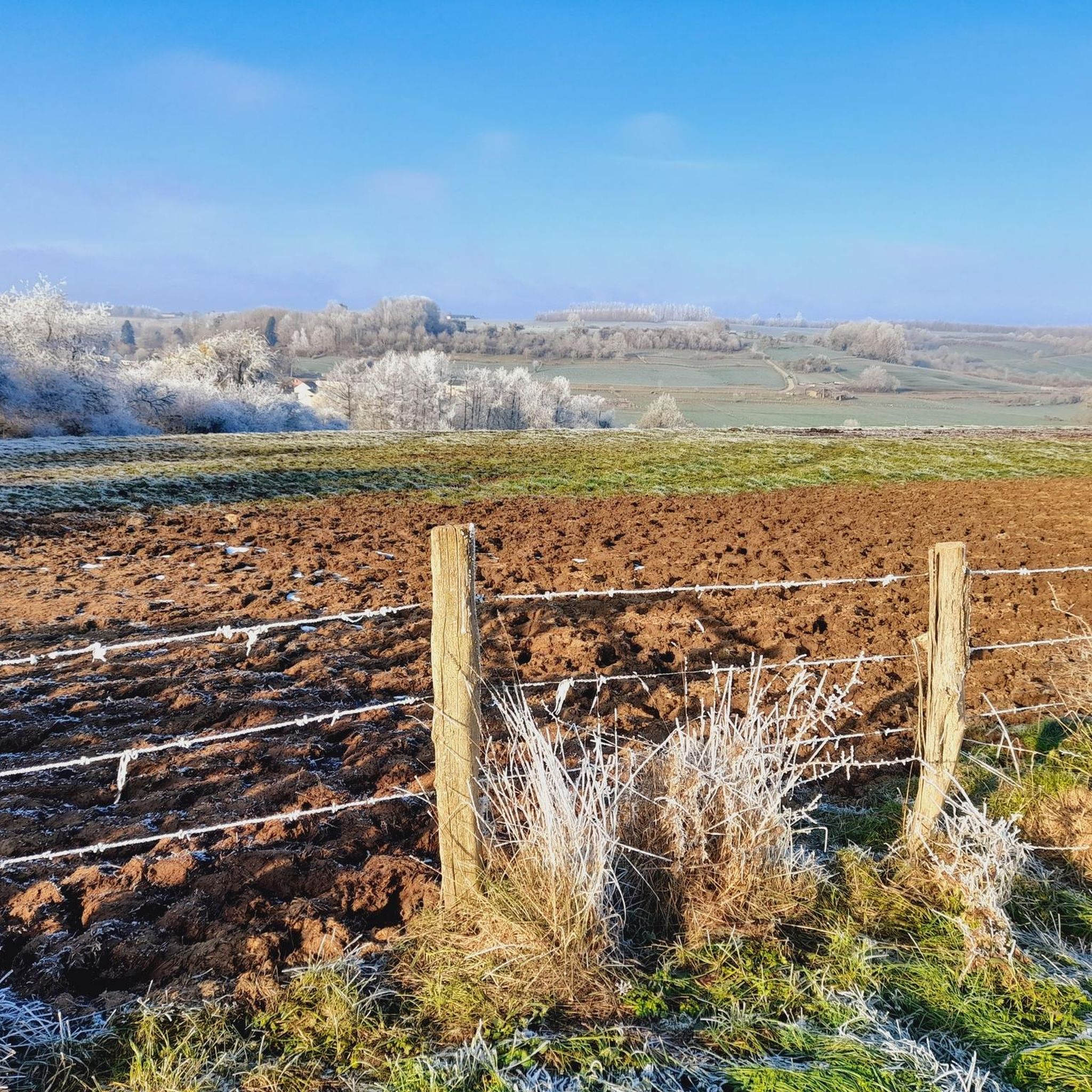
peaceful and super pretty place
2
0

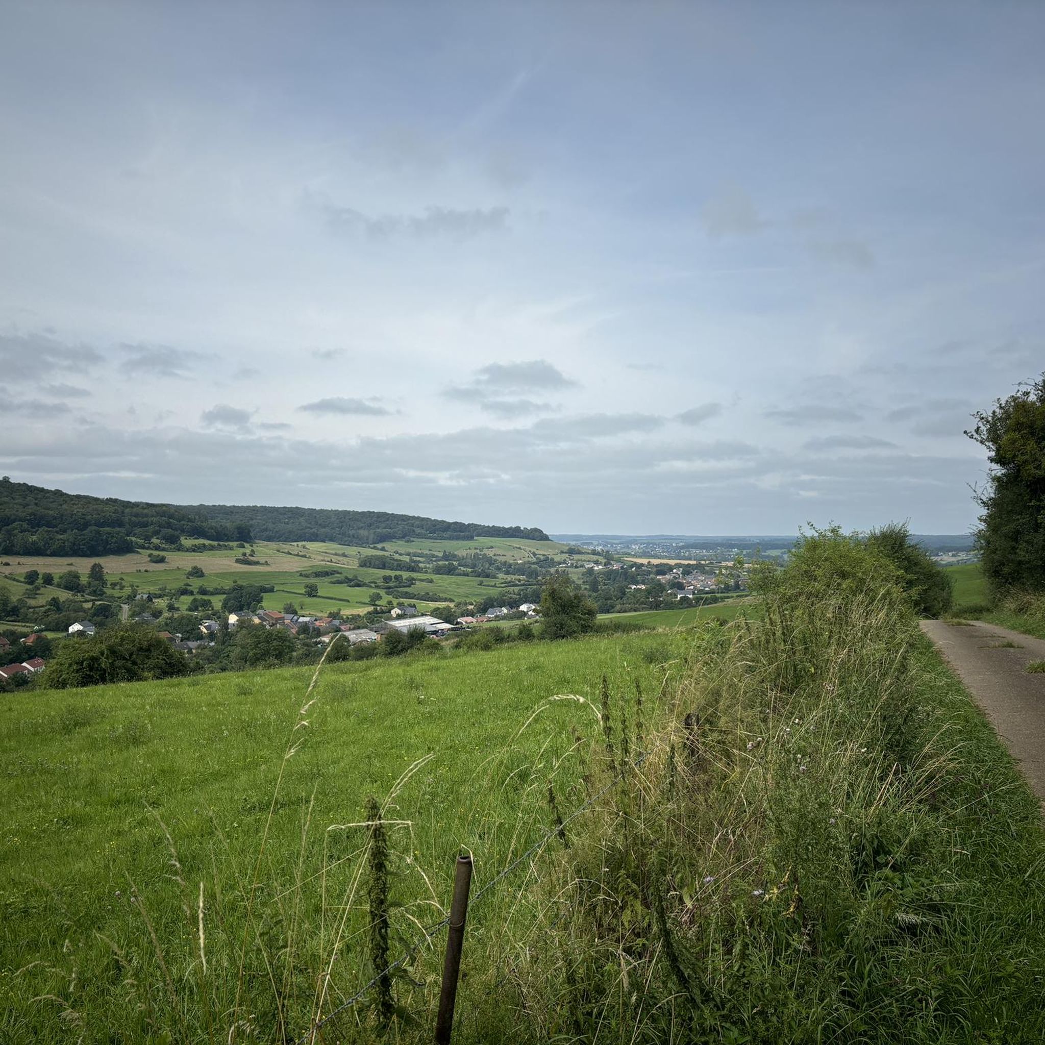
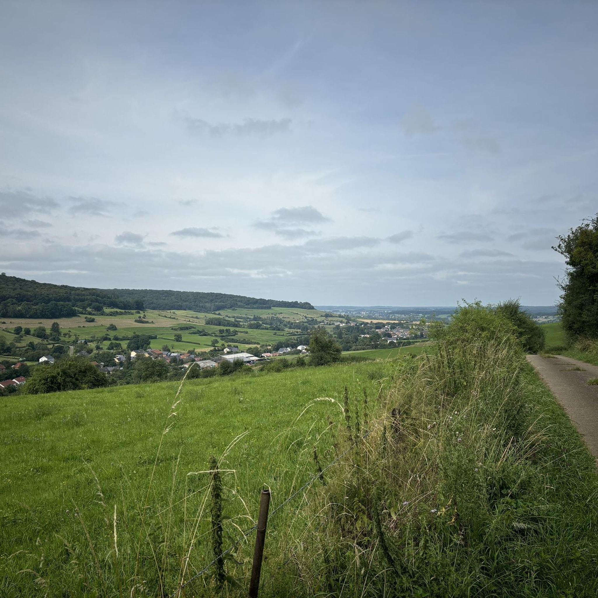
On the heights of Grandcourt, right on the Franco-Belgian border, this viewpoint reveals pretty picturesque landscapes over Lorraine.
0
0

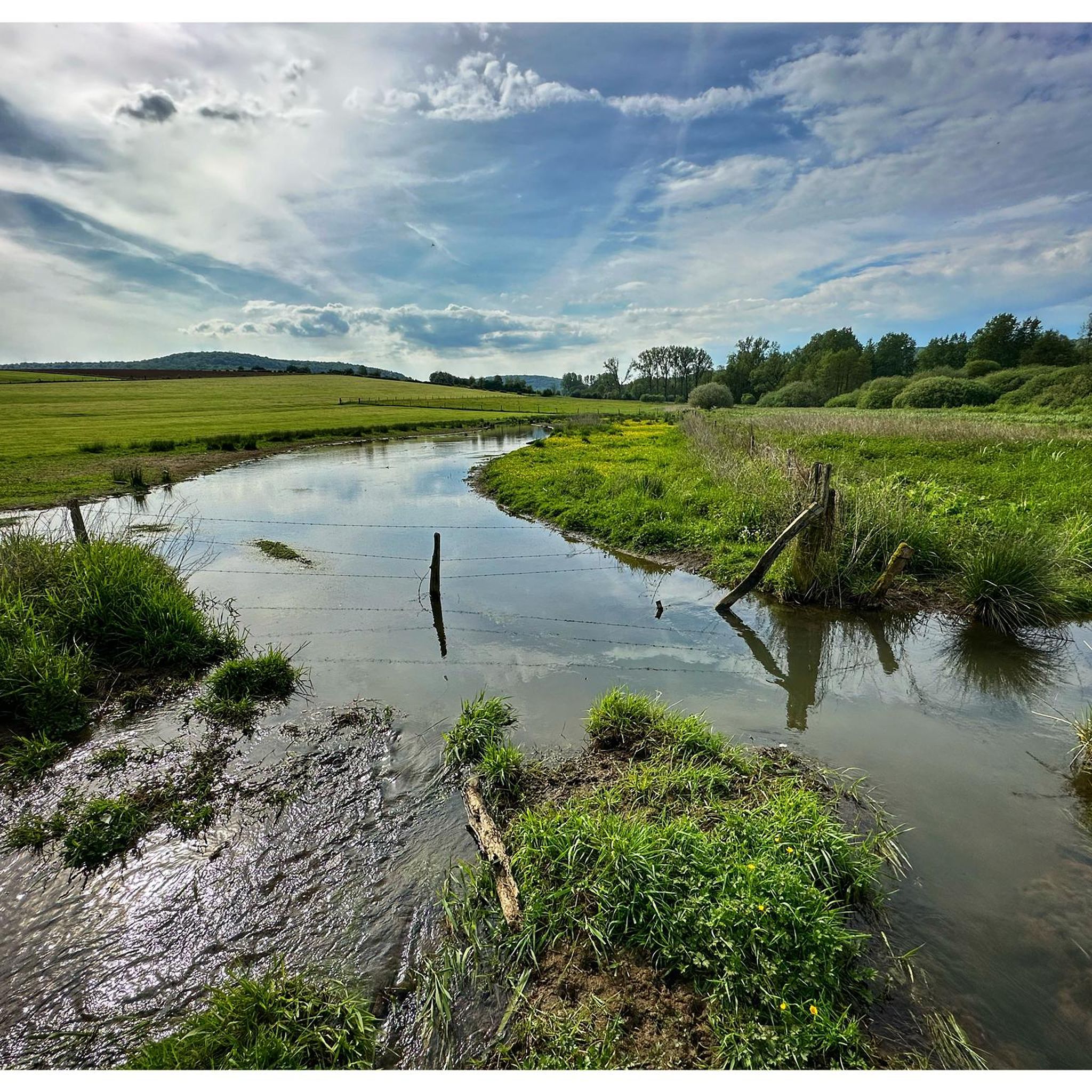
The Cussignère Marshes are a unique natural area in the Gaume region, with a fascinating landscape of marshes, reed beds and wet grasslands. This area offers a rich biodiversity and is a refuge for waterfowl, frogs and other marsh animals, perfect for nature lovers and birdwatchers.
4
0
Frequently Asked Questions
How many running routes are available in Saint-Pancré?
Saint-Pancré offers a wide selection of over 350 running routes. These include options for various fitness levels, with 43 easy routes, 271 moderate routes, and 37 more challenging trails.
What kind of terrain can I expect on jogging routes around Saint-Pancré?
Jogging routes in Saint-Pancré feature a diverse terrain, primarily characterized by peaceful forest paths and agricultural landscapes. You'll encounter varied elevations, from gentle inclines to more significant climbs, providing options for different workout intensities. Many routes, like those featured in the annual 'Trail des Minières de Saint-Pancré', are composed of over 90% forest paths.
What do other runners enjoy most about the trails in Saint-Pancré?
The running trails in Saint-Pancré are highly regarded by the komoot community, boasting an average rating of 4.5 stars from over 60 reviews. Runners often praise the tranquil rural setting, the extensive network of forest trails, and the varied elevations that cater to different preferences.
Are there easy running routes for beginners in Saint-Pancré?
Yes, Saint-Pancré has 43 easy running routes perfect for beginners or those looking for a more relaxed jog. These routes typically feature less elevation gain and smoother paths, allowing for an enjoyable introduction to the area's natural beauty.
Can I find circular running routes in the Saint-Pancré area?
Absolutely. Many of the running routes around Saint-Pancré are designed as loops, allowing you to start and finish at the same point. For example, the RAVeL Ruette–Chenois Path loop from Grandcourt offers a moderate 12.6 km circular run, and the Cussignère marsh loop from Saint-Pancré is another popular circular option.
Are there any scenic viewpoints along the running trails?
Yes, the region offers scenic vistas. Notably, the Éperons Barrés Viewpoint, located near Saint-Pancré, provides a panoramic view of the Neuve Forge valley, which can be a rewarding sight during your run. The varied terrain throughout Meurthe-et-Moselle also contributes to many picturesque landscapes.
What natural features can I see while running in Saint-Pancré?
While jogging, you can explore diverse natural features. The La Cussignière Marsh offers a tranquil environment, and you might encounter the impressive The Oak of the Three Communes. The area is rich in forest trails and agricultural landscapes, providing a refreshing natural backdrop.
Are there historical sites or landmarks I can explore near the running paths?
Yes, Saint-Pancré and its surroundings offer a touch of history. You might pass by the Church of Saint Pancras or the remains of a 16th-century circular tower within the village. Further afield, highlights like the Cons-la-Grandville Castle or the Naisse Mill can add interest to your running excursions.
Are the running routes in Saint-Pancré suitable for families?
Many of the routes in Saint-Pancré, especially the easier ones, are suitable for families. The peaceful rural environment and well-maintained paths make for a pleasant experience. Consider routes with less elevation for younger family members.
Can I bring my dog on the running trails?
Generally, dogs are welcome on trails in rural areas like Saint-Pancré. However, it's always best to keep your dog on a leash, especially when passing through agricultural land or near wildlife, to ensure safety and respect for local regulations and other trail users.
Where can I park when accessing the running routes?
As Saint-Pancré is a rural commune, parking is typically available in or near the village center, such as close to the Mairie (town hall), or at designated starting points for popular trails. Always check local signage for specific parking rules.
What is the best time of year to go jogging in Saint-Pancré?
The best time to go jogging in Saint-Pancré is generally during spring, summer, and early autumn. These seasons offer pleasant temperatures and lush scenery. The forest trails provide good shade during warmer months, while autumn brings beautiful foliage. Winter jogging is possible, but be prepared for colder temperatures and potentially muddy or icy conditions on some paths.
Most popular routes around Saint-Pancré
Most popular attractions around Saint-Pancré

Get inspired with the komoot mobile app


Explore more
Browse the best Running Trails & Routes in other regions.
