Top 4 Mountain Passes around Montbrand
Best mountain passes around Montbrand are situated in the Hautes-Alpes department of southeastern France, a region characterized by its mountainous terrain. Montbrand itself is located at an altitude of 980 meters within the Aiguebelle valley. The surrounding area features various mountain passes that connect different valleys and departments. These passes offer routes through the landscape of the southern French Alps.
Best mountain passes around Montbrand
- The most popular mountain passes is Col de Carabès, a mountain pass that is located in the French Alps, on the border between the departments of Drôme and Hautes-Alpes. This small alpine pass features a narrow, little-traveled road (D27) connecting Valdrôme and Serres.
- Another must-see spot is D539 Mountain Road, Parc Naturel Régional du Vercors, a mountain road. This road offers elevation and landscapes on the edge of the Vercors plateaus.
- Visitors also love Cabre Pass (1,180 m), a mountain pass located at an altitude of 1,180 meters. It connects the Diois valley with the Buëch valley, marking a passage between the Hautes-Alpes and the Drôme.
- Montbrand is known for mountain passes that include intermediate trails, viewpoints, and cycle ways. These passes offer a variety of routes to explore the region's natural features.
- The mountain passes around Montbrand are appreciated by the komoot community, with 1 highlight featuring 10 photos and receiving 59 upvotes.
Last updated: August 6, 2026
Col de Carabès
Highlight • Mountain Pass
Showing Translation
Tip by

Cabre Pass (1,180 m)
Highlight (Segment) • Mountain Pass
Showing Translation
Tip by
Sign up now to discover places like this
Get recommendations on the best single tracks, peaks, & plenty of other exciting outdoor places.
Sign up for free
Col de Grimone (1318 m)
Highlight • Mountain Pass
Tip by

D539 Mountain Road, Parc Naturel Régional du Vercors
Highlight • Mountain Pass
Translated by Google •
Tip by

Ascent to Col de la Haute Beaume
Highlight (Segment) • Mountain Pass
Showing Translation
Tip by
Start today with a free account
Your next adventure awaits.
Login or Signup
Tips from the Community

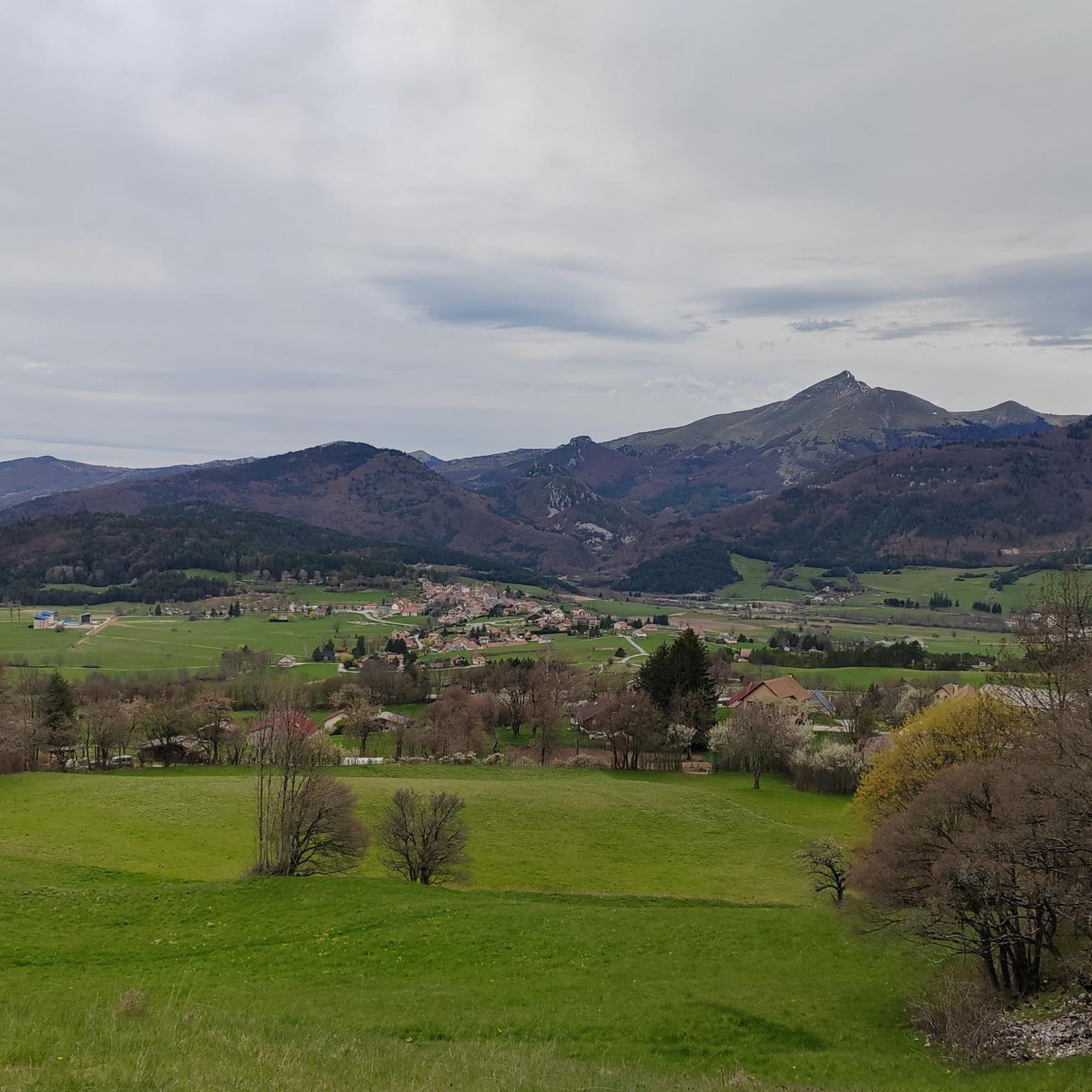
The Col de Carabès is a mountain pass located in the French Alps, on the border between the departments of Drôme and Hautes-Alpes.
19
0
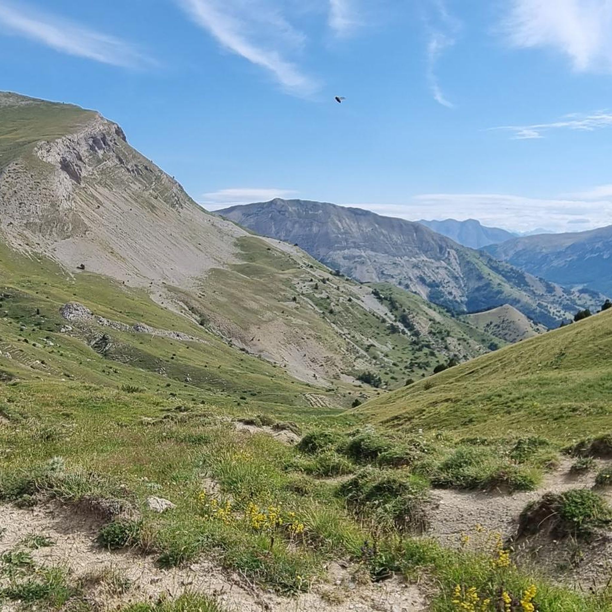
Col de la Haute-Beaume is a small mountain pass located in the Hautes-Alpes department, in the Provence-Alpes-Côte d'Azur region, near the villages of La Haute-Beaume and La Beaume.
18
0
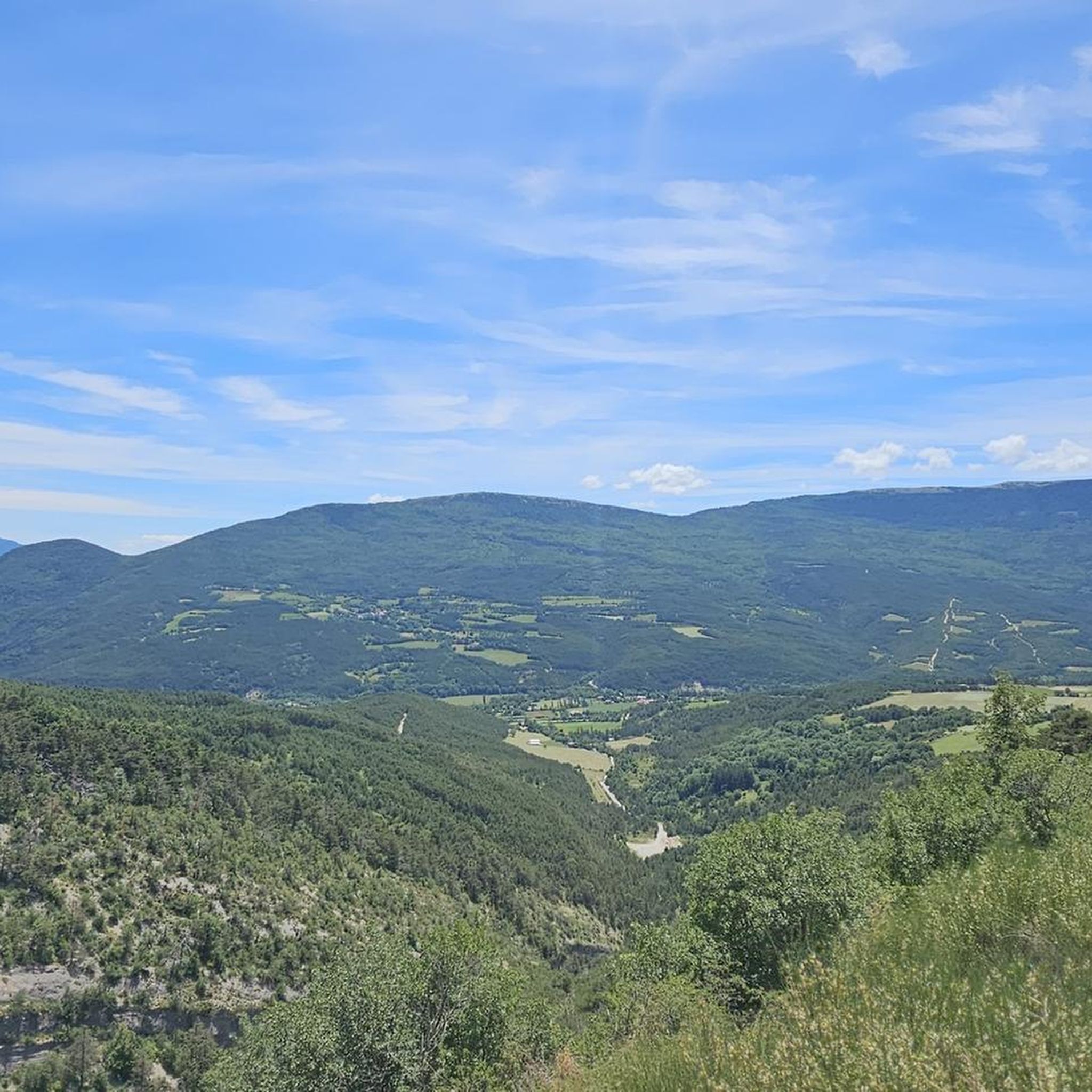
Col de Cabre is a mountain pass located in the southeast of France, between the departments of Drôme and Hautes-Alpes, in the regions Auvergne-Rhône-Alpes and Provence-Alpes-Côte d'Azur.
18
0
Colle di Cabre is an alpine pass located at an altitude of 1,180 meters, on the border between the French departments of Drôme and Hautes-Alpes, in the Auvergne-Rhône-Alpes region. It connects the Diois valley, to the west, with the Buëch valley, to the east, representing one of the main passages in the southern French Alps.
12
0

Much better alternative than the main road from the Drôme towards Gap. Almost no traffic, on average 4-5% on both sides, but short stretches also 7-8%. On the south side beautiful rock formations and gorge, north side less spectacular, more between trees.
4
0

magnificent little walk to do
0
0

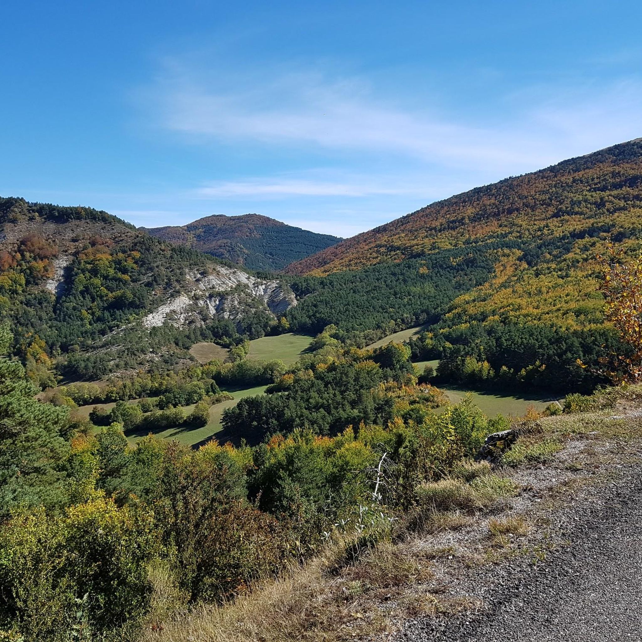
On the edge of the Vercors plateaus, there are superb mountain roads that combine elevation and charming landscapes. The D 539 is one of them.
1
0

Very beautiful panorama on the Hautes Alpes side
4
0
Frequently Asked Questions
What are some notable mountain passes near Montbrand?
The region around Montbrand features several interesting mountain passes. Among them are the Col de Carabès, known for its narrow, little-traveled road, and the Cabre Pass (1,180 m), which connects the Diois and Buëch valleys. Another significant pass is the Col de Grimone (1318 m).
What kind of terrain can I expect on mountain passes around Montbrand?
The mountain passes in this area offer varied terrain. For instance, the Col de Carabès features an absolutely narrow and less-traveled road, while the Cabre Pass has a wider road. Many passes, like the Col de Grimone, are considered intermediate in difficulty for cycling, with gradients around 4-5%.
Are there good viewpoints on the mountain passes in this region?
Yes, several mountain passes around Montbrand offer excellent viewpoints. The Col de Carabès, Cabre Pass, and Col de Grimone are all noted for their scenic views. Additionally, the D539 Mountain Road, on the edge of the Vercors plateaus, provides superb mountain roads with charming landscapes.
What is the best time of year to visit the mountain passes near Montbrand?
Given Montbrand's location in the mountainous Hautes-Alpes department, the best time to visit mountain passes is typically from late spring through early autumn (May to October). During these months, the weather is generally more stable, and roads are clear of snow, making conditions ideal for cycling, hiking, and scenic drives. Summer can be warm, especially in the Drôme department, which borders some of these passes.
Can I go cycling on the mountain passes near Montbrand?
Absolutely. Many passes in the area are popular with cyclists. The Col de Grimone and the D539 Mountain Road are specifically highlighted as cycle ways. You can find various cycling routes, including challenging loops like the "Châtillon-en-Diois – Col de Grimone (1318 m) loop," by exploring the Cycling around Montbrand guide.
Are there hiking trails associated with these mountain passes?
Yes, several mountain passes near Montbrand feature trails suitable for hiking. The Col de Carabès, Cabre Pass, and Ascent to Col de la Haute Beaume are all categorized as having trails. For more detailed hiking options, refer to the Hiking around Montbrand guide, which includes routes like the "Torrent de Durbonas loop."
What are some unique features of the mountain passes in the Montbrand area?
The mountain passes here offer distinct characteristics. The Col de Carabès is noted for its narrow, less-traveled road, providing a sense of solitude. The Cabre Pass is significant as it marks a passage between the Hautes-Alpes and Drôme departments and connects two major valleys. The Col de la Haute Beaume is a small pre-alpine pass with an uncrowded road, offering a peaceful experience.
How accessible are the mountain passes around Montbrand by car?
Access to Montbrand itself is via departmental roads (D28). The mountain passes in the surrounding region vary in road conditions. For example, the Col de Carabès is described as having an "absolutely narrow, little-traveled road," while the Cabre Pass has a "wide road." The Col de la Haute Beaume is known for its uncrowded road.
Are there running trails near the mountain passes around Montbrand?
Yes, the mountainous terrain around Montbrand is suitable for running. While specific running trails directly on the passes might vary, the general area offers several options. You can find routes like the "Saint-Apôtre – Col de Seille loop" in the Running Trails around Montbrand guide.
What can visitors expect from the climate when exploring mountain passes near Montbrand?
The climate in the Hautes-Alpes, where Montbrand is located, is typically alpine. While the Col de Grimone is noted for its climate, especially in hot weather, generally, visitors can expect cooler temperatures at higher altitudes. Summers are pleasant, but conditions can change rapidly, so it's always advisable to check local forecasts before heading out.
Are there any less-known or 'hidden gem' mountain passes in the area?
While not explicitly labeled as 'hidden gems,' some passes are described as less crowded or having little traffic. The Col de Carabès is on a "little-traveled road," and the Col de la Haute Beaume is a "small pre-alpine pass with an uncrowded road." These might offer a more tranquil experience away from busier routes.
Most popular attractions around Montbrand

Get inspired with the komoot mobile app


Explore more
See even more epic mountain passes by checking out these guides around Montbrand:
