The best walks and hikes around Montbrand
4.5
(270)
1,307
hikers
45
hikes
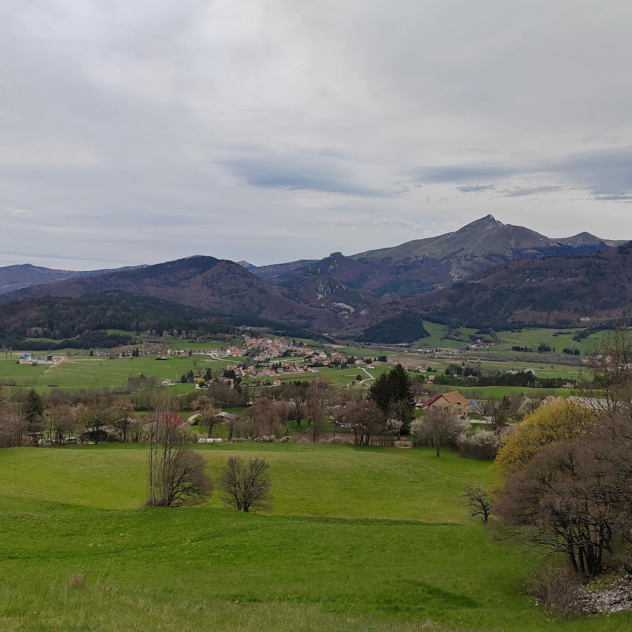
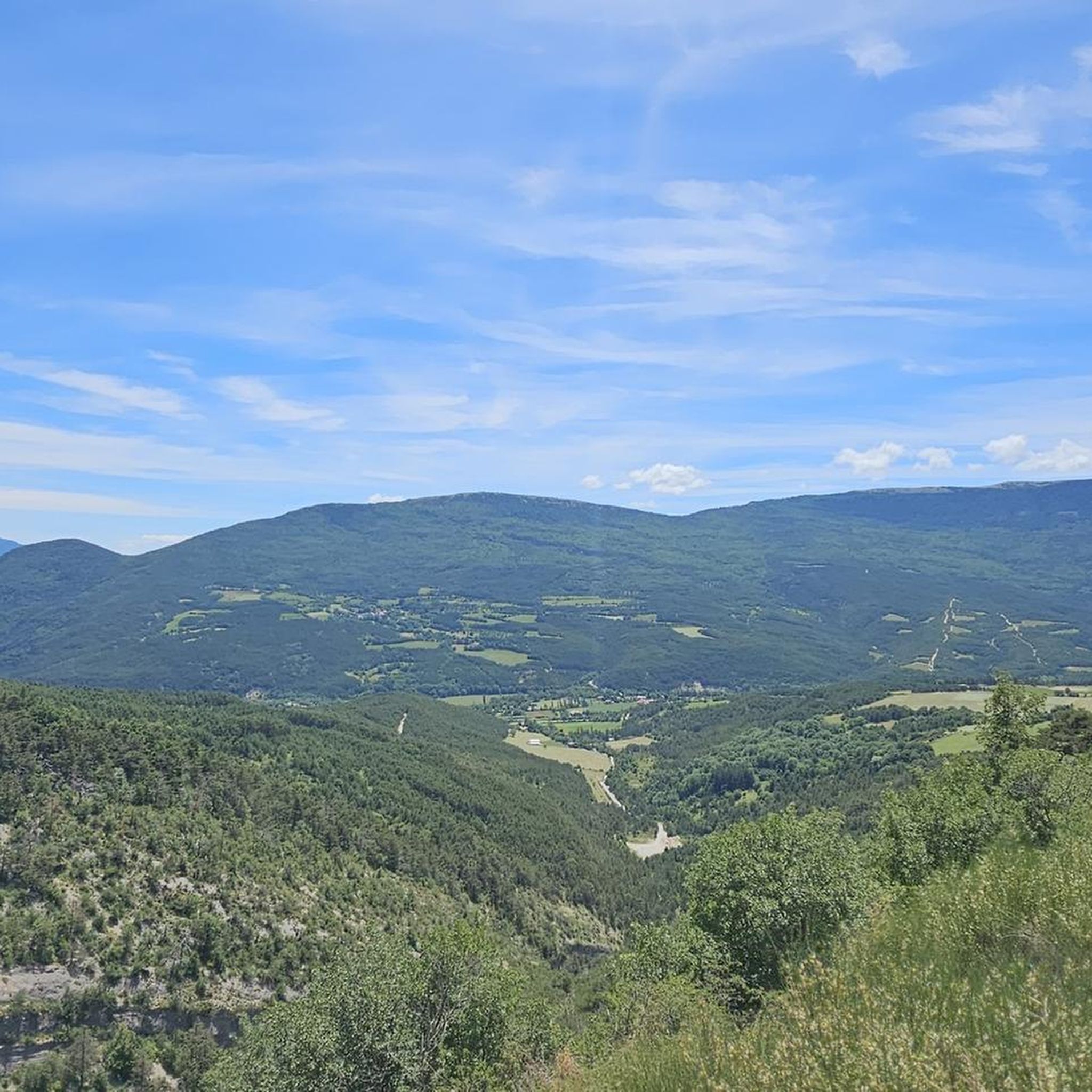
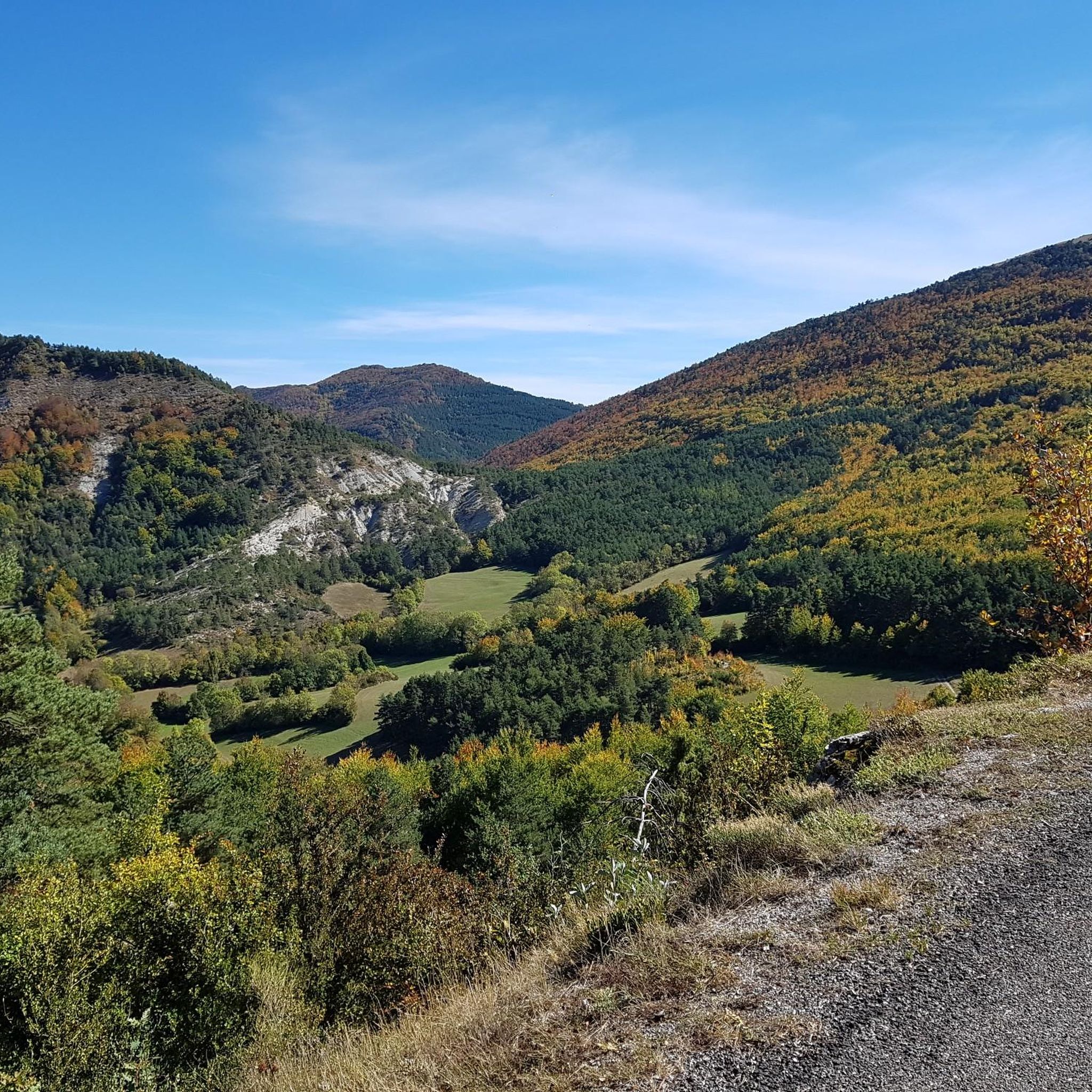
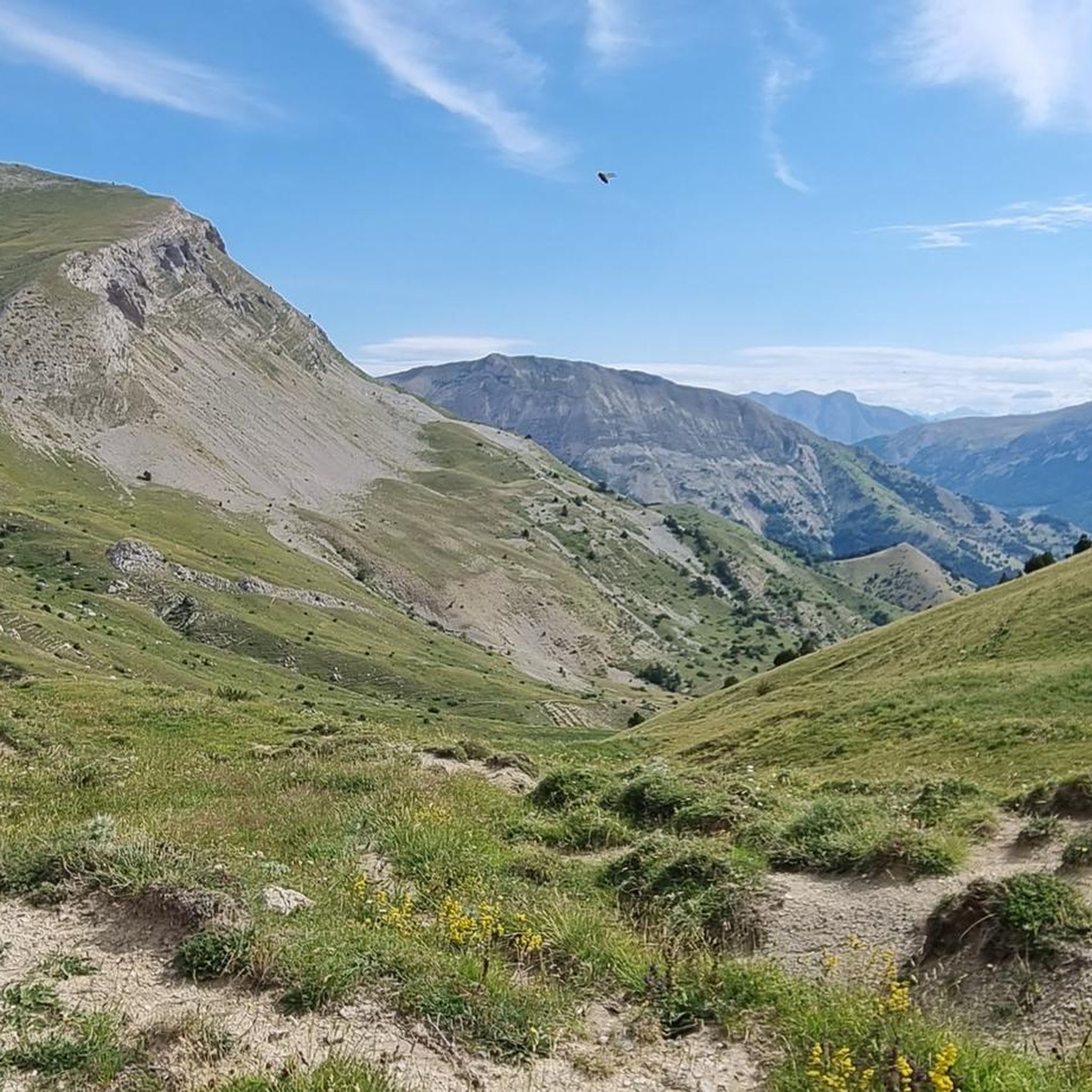
Hiking around Montbrand offers diverse landscapes in the Hautes-Alpes department of France. The region features varied terrain, including dense forests, panoramic ridge walks, and river valleys. Hikers can explore routes that traverse beech forests and offer views of the surrounding mountainous backdrop, including the summits of the Dévoluy mountains. The area provides a range of hiking trails suitable for different fitness levels.
Best hiking trails around Montbrand
- The most popular hiking route is Torrent de Durbonas loop from La Faurie…
Last updated: October 4, 2026
4.6
(32)
110
hikers
6.68km
02:15
330m
330m
Moderate hike. Good fitness required. Easily-accessible paths. Suitable for all skill levels.
4.7
(9)
56
hikers
3.42km
01:00
100m
100m
Easy hike. Great for any fitness level. Easily-accessible paths. Suitable for all skill levels.

4.0
(8)
29
hikers
6.66km
01:56
180m
180m
Easy hike. Great for any fitness level. Easily-accessible paths. Suitable for all skill levels.
4.8
(5)
38
hikers
19.0km
07:03
910m
910m
Hard hike. Very good fitness required. Mostly accessible paths. Sure-footedness required.
4.1
(11)
26
hikers
8.99km
02:56
350m
350m
Moderate hike. Good fitness required. Mostly accessible paths. Sure-footedness required.
Get access to more routes and recommendations from other explorers.
Already have an account?
Our route recommendations are based on thousands of hikes, rides, and runs completed by other people on komoot.
Start today with a free account
Your next adventure awaits.
Frequently Asked Questions
How many hiking trails are available around Montbrand?
Montbrand offers a diverse network of over 40 hiking trails. These routes cater to various fitness levels, with options ranging from easy strolls to more challenging mountain ascents.
Are there easy hiking trails suitable for families or beginners in Montbrand?
Yes, Montbrand has several easy trails perfect for families or those seeking a relaxed walk. An excellent option is the Col de l'Angelus – Gorges du Rif d'Agnielles loop from Grotte de l'Ours, which is 4.1 miles (6.7 km) long and takes approximately 2 hours to complete. This trail includes sections near the scenic Gorges du Rif d'Agnielles.
What kind of terrain can I expect on hikes in Montbrand?
The hiking trails around Montbrand feature diverse terrain. You'll find routes traversing beautiful forests, including beech woods, as well as elevated sections along alpine pastures offering panoramic ridge walks. Some trails also descend into gorges and river valleys, providing varied landscapes.
Are there any circular hiking routes in the Montbrand area?
Many of the trails in Montbrand are designed as circular routes, allowing you to start and end at the same point. For example, the Torrent de Durbonas loop from La Faurie is a moderate 4.1 miles (6.7 km) circular trail that offers varied terrain.
What are the best trails for panoramic views in Montbrand?
For breathtaking panoramic views, look for trails that feature ridge walks or ascend to higher points. The region is known for vistas of the surrounding French Alps, including the summits of the Dévoluy mountains. While not a specific route in our guide, the 'Sommet de Banne loop from Col de Cabre' (mentioned in regional research) is noted for its extensive views towards Lure mountain, Ventoux, Vercors, and the Dévoluy mountains.
Are there any natural features or landmarks to see along the hiking trails?
Yes, Montbrand's trails often lead through diverse natural features. You can explore dense forests, discover gorges like the Gorges du Gros Moret, and enjoy the refreshing Buech river. Notable nearby attractions include the Gorges des Gâts and various mountain passes such as Col de Carabès and Col de Grimone (1318 m).
What do other hikers say about the trails in Montbrand?
The hiking trails in Montbrand are highly regarded by the komoot community, holding an average rating of 4.5 stars from over 200 reviews. Hikers often praise the diverse landscapes, from serene forests to expansive ridge views, and the variety of routes available for different skill levels.
Are there any challenging or difficult hikes in Montbrand?
Yes, for experienced hikers seeking a challenge, Montbrand offers 17 difficult routes. These trails often involve significant elevation gains and rugged mountainous terrain, providing a rewarding experience with stunning views of the Dévoluy mountains. An example is the Gorges du Rif d'Agnielles – Col de l'Angelus loop from Vallée d'Agnielles - La Montagne, a 9.9 km (6.1 miles) route with considerable ascent.
Can I bring my dog on the hiking trails in Montbrand?
While specific regulations for each trail can vary, many natural areas in France are generally dog-friendly, especially if dogs are kept on a leash. It's always recommended to check local signage at trailheads for any specific restrictions regarding pets, particularly in protected areas or during certain seasons.
What is the best time of year to go hiking in Montbrand?
The diverse landscapes of Montbrand make it suitable for hiking across multiple seasons. Spring and autumn offer pleasant temperatures and vibrant scenery, with autumn showcasing beautiful forest colors. Summer is ideal for higher alpine sections and enjoying the rivers, though some trails might be busier. Winter hiking is also possible, especially on lower elevation trails, but requires appropriate gear and awareness of conditions.
Are there any historical sites or ruins to explore on hikes?
Yes, you can combine your hike with a visit to historical sites. The Ruins of a Templar Fortress loop from Lus-la-Croix-Haute is a 5.6 miles (9.0 km) trail that allows you to explore these intriguing ruins while enjoying the varied terrain of the region.
Most popular attractions around Montbrand

Get inspired with the komoot mobile app


Explore more
Browse the best Hikes in other regions.
