The best running trails around Rabou
4.4
(132)
7,667
runners
430
runs
Jogging around Rabou offers routes through varied terrain, characterized by mountain passes and significant elevation changes. The region features trails that ascend to cols like Gleize and Guizière, providing challenging running experiences. These paths often traverse open landscapes, with some sections potentially leading through forested areas or alpine meadows. The routes are generally demanding, catering to runners seeking elevation gain.
Best jogging routes around Rabou
- The most popular jogging route is Pic de Gleize loop from Col de Gleize,…
Last updated: October 4, 2026
14
runners
Hard run. Very good fitness required. Sure-footedness, sturdy shoes and alpine experience required.
12
runners
10.4km
01:34
480m
480m
Hard run. Very good fitness required. Mostly paved surfaces. Suitable for all skill levels.

8
runners
4.66km
00:52
370m
370m
Hard run. Very good fitness required. Mostly paved surfaces. Suitable for all skill levels.
5
runners
8.41km
01:20
520m
520m
Hard run. Very good fitness required. Mostly accessible paths. Some sure footedness required.
9
runners
13.4km
02:00
760m
760m
Hard run. Very good fitness required. Mostly paved surfaces. Suitable for all skill levels.
Get access to more routes and recommendations from other explorers.
Already have an account?
Our route recommendations are based on thousands of hikes, rides, and runs completed by other people on komoot.
Start today with a free account
Your next adventure awaits.
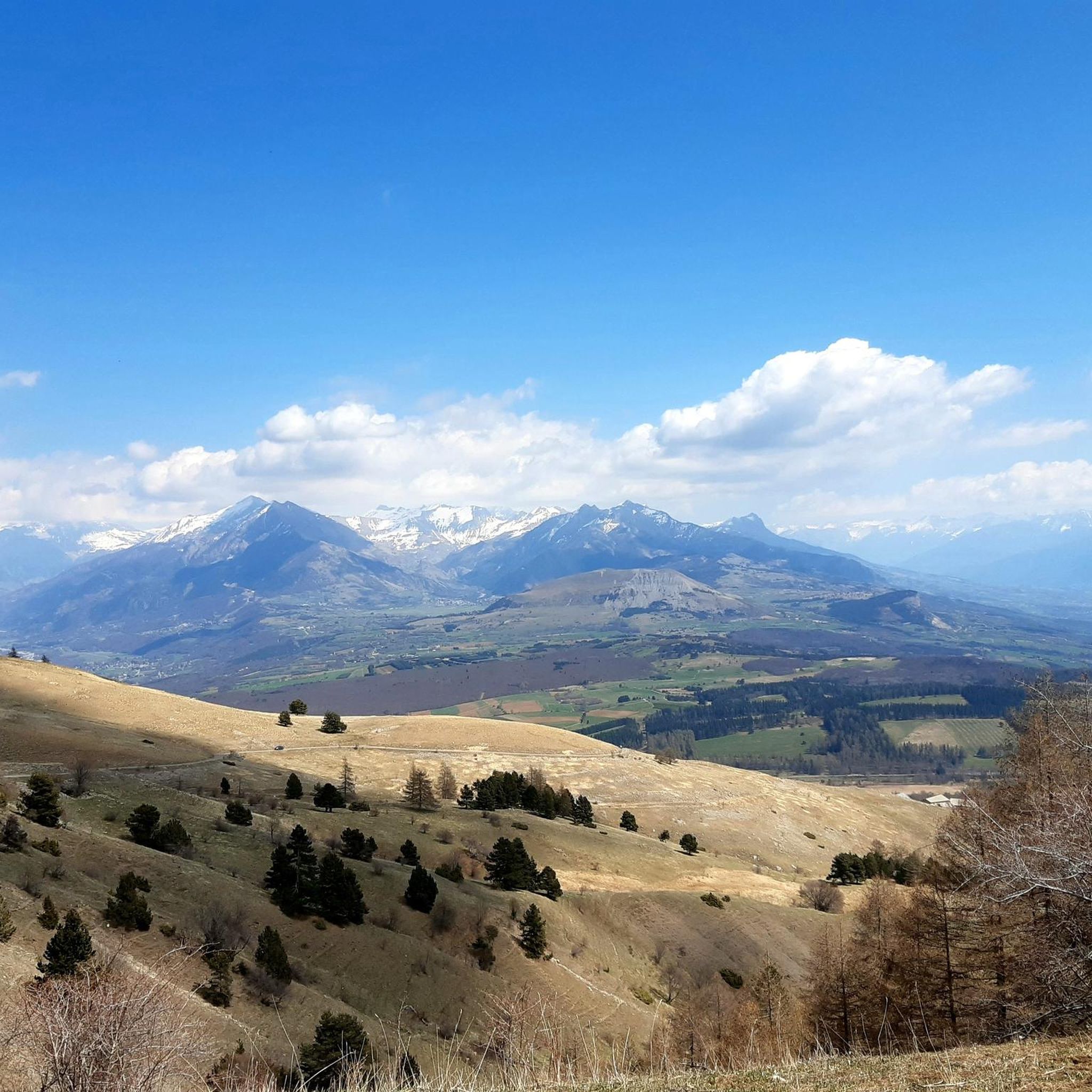
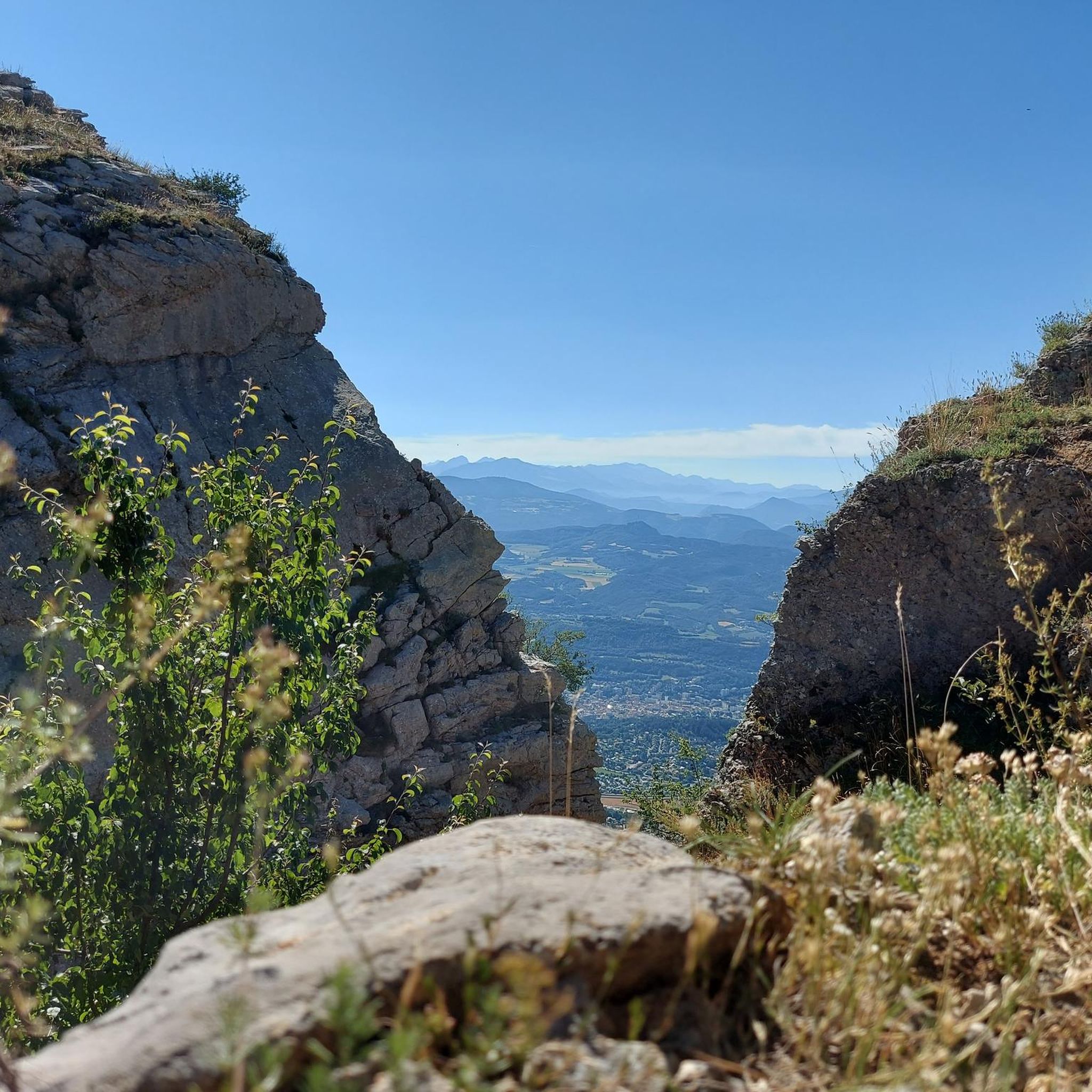
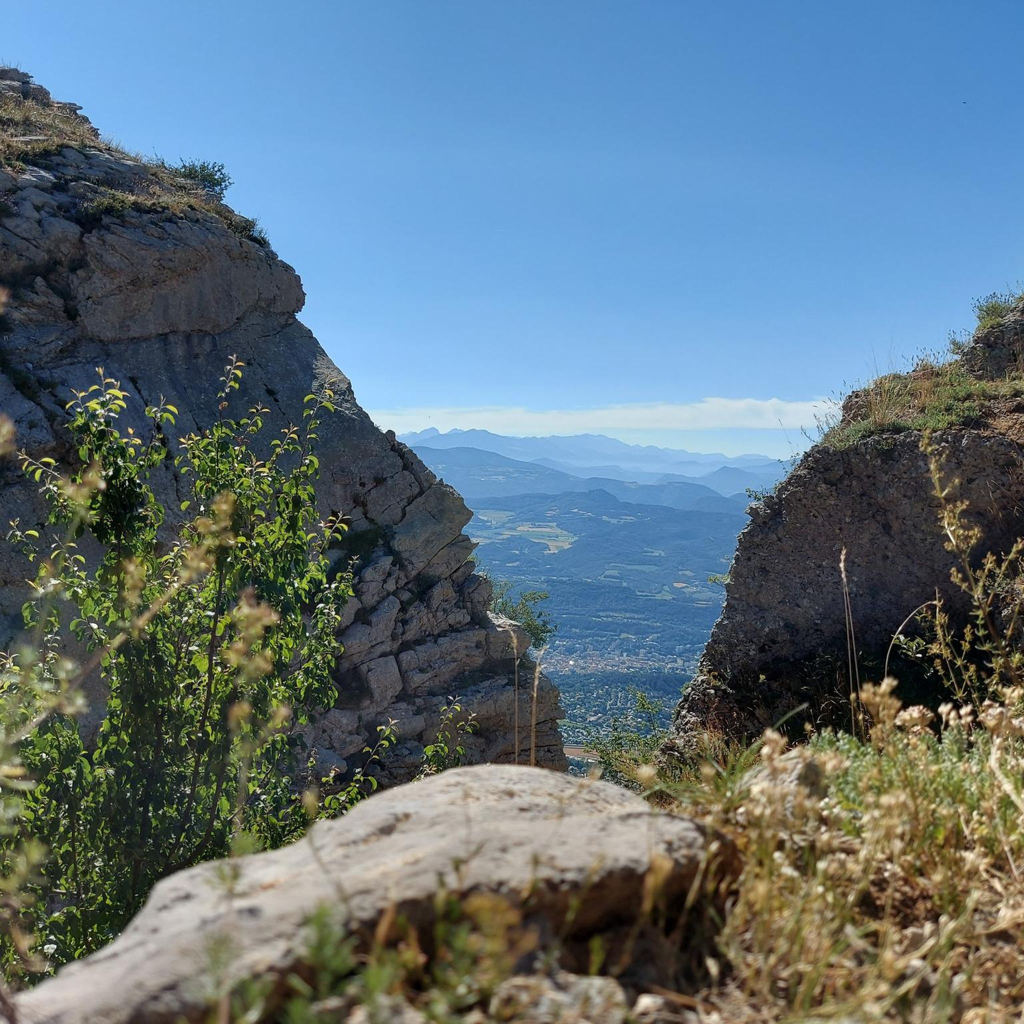
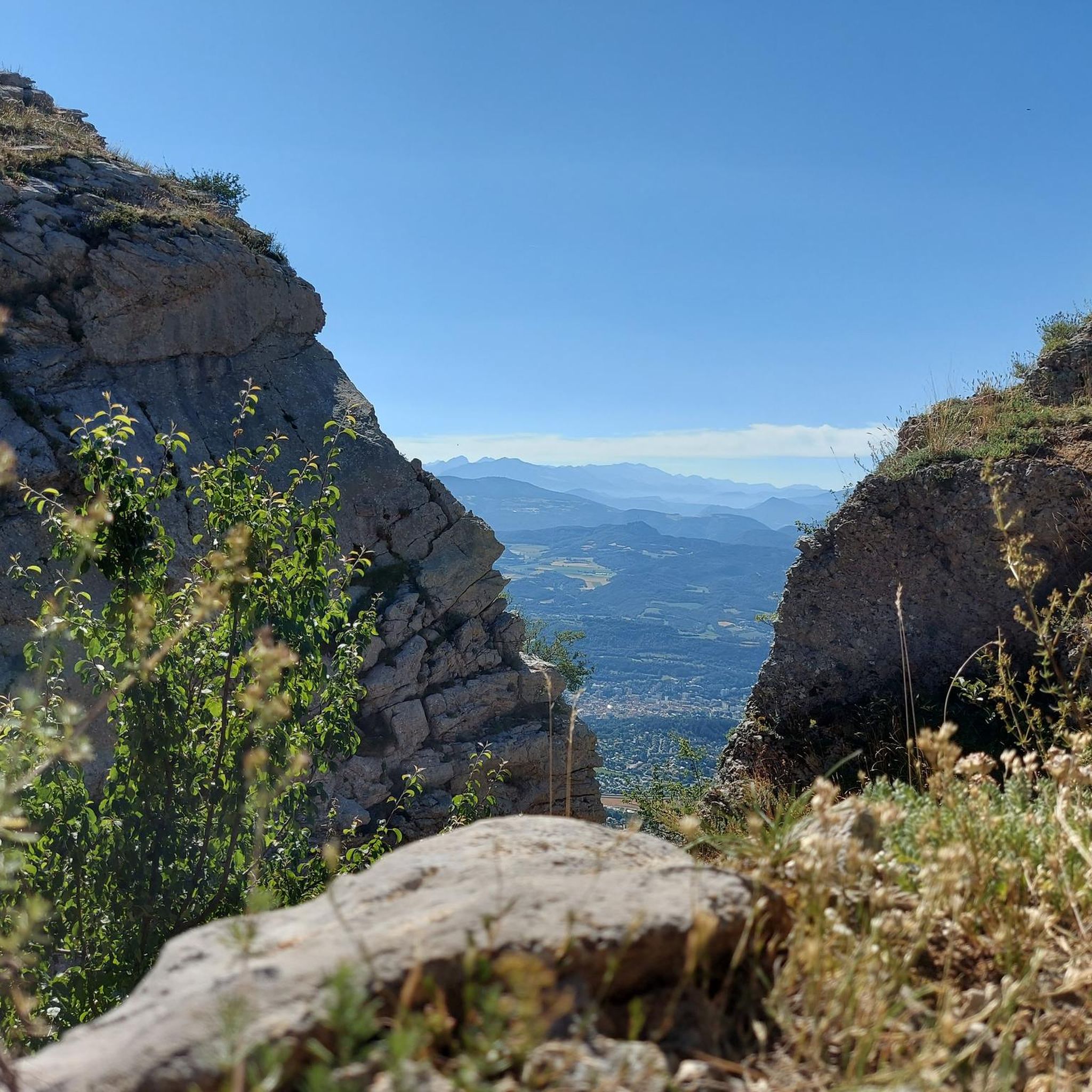

Tips from the Community

El Col de Gleize from Col Bayard is a mountain pass located in the Hautes-Alpes region. It has a length of 4.8 km and a total positive elevation gain of 448 m. The average gradient of Col de Gleize from Col Bayard is 10%.
0
0

It is one of the highest bocages in Europe. These landscapes are typical in France, but this one is one of the best preserved. It has a superb network of beech hedges, crops, meadows and woods which attracts beautiful biodiversity and many birds.
0
0
The Col de Gleize car park is located next to a designated picnic area. It is the starting point for many hiking trails that intersect here.
0
0

For a great picnic with a 360° view of breathtaking landscapes: meet at Pic Chaudun 🌟
0
0

It is accessible by car via a pretty narrow road and has parking as it is the starting point for many trails.
1
0

At 2,161 meters above sea level, the Gleize peak is located in the Dévoluy massif on a ridge which extends from the Charance mountain to the Faraut mountain. From here we have magnificent views of the Bois du Chapter biological reserve and the high peaks of Dévoluy.
0
1
Frequently Asked Questions
How many running routes are available around Rabou?
There are over 400 running routes available around Rabou, catering to various preferences. The region is particularly known for its challenging trails with significant elevation changes.
Are there any easy jogging routes in Rabou for beginners?
While many routes in Rabou are classified as difficult due to the mountainous terrain, there are still around 30 easier options available. These routes offer a gentler introduction to running in the region's beautiful landscapes.
What is the typical length of jogging routes near Rabou?
Running routes near Rabou vary in length. For example, the Pic de Gleize loop from Col de Gleize is about 3.5 miles (5.6 km), while the Col de Gleize (1691 m) – Col de Gleize parking loop from Gap extends to 6.5 miles (10.4 km). You'll find a range of distances to suit your training goals.
Are there any circular running routes in Rabou?
Yes, many of the running trails in Rabou are circular, allowing you to start and finish at the same point. Examples include the popular Pic de Gleize loop from Col de Gleize and the Col de Côte Gelée – Col de Guizière(1649m) loop from Gap.
What kind of viewpoints can I expect on jogging routes in Rabou?
The running routes in Rabou often ascend to mountain passes and open alpine landscapes, offering expansive views. Trails like the Pic de Gleize loop from Col de Gleize provide notable ascents with panoramic vistas from the cols.
What do other runners enjoy most about jogging in Rabou?
The area is highly rated by the komoot community, with an average score of 4.5 stars from over 100 reviews. Runners often praise the challenging mountain terrain, significant elevation changes, and the rewarding views from the various mountain passes.
Are there any interesting landmarks or attractions near the running trails?
Yes, the region around Rabou offers several points of interest. You can find prominent peaks like Gleize Peak and Ceuze pike. Additionally, the Col du Noyer (1664 m) is a notable mountain pass in the vicinity.
What is the best season for running in Rabou?
The best season for running in Rabou is typically from late spring to early autumn (May to October) when the weather is milder and the mountain passes are clear of snow. During these months, you can fully enjoy the open alpine landscapes and higher elevations.
Are there any specific considerations for winter jogging paths in Rabou?
Winter jogging in Rabou can be challenging due to snow and ice, especially at higher elevations and mountain passes. Many trails may require specialized gear like trail running shoes with good grip or even snowshoes. It's advisable to check local conditions and weather forecasts before heading out.
Are the running trails in Rabou generally crowded?
Rabou is known for its rugged, natural environment. While popular routes like the Pic de Gleize loop see regular use, the extensive network of trails means you can often find less crowded paths, especially on weekdays or by exploring some of the more challenging options.
Are there family-friendly running routes in Rabou?
While many routes feature significant elevation, there are easier options that families might enjoy. Look for trails with less steep ascents and shorter distances if running with children. Always check the route's difficulty and elevation profile beforehand.
Are there dog-friendly running trails in Rabou?
Most natural trails in Rabou are generally dog-friendly, but it's always recommended to keep your dog on a leash, especially in areas with livestock or protected wildlife. Ensure your dog is fit for the challenging mountain terrain and bring enough water for both of you.
Most popular attractions around Rabou

Get inspired with the komoot mobile app


Explore more
Browse the best Running Trails & Routes in other regions.
