The best road cycling routes around Rabou
4.7
(303)
8,050
riders
152
rides
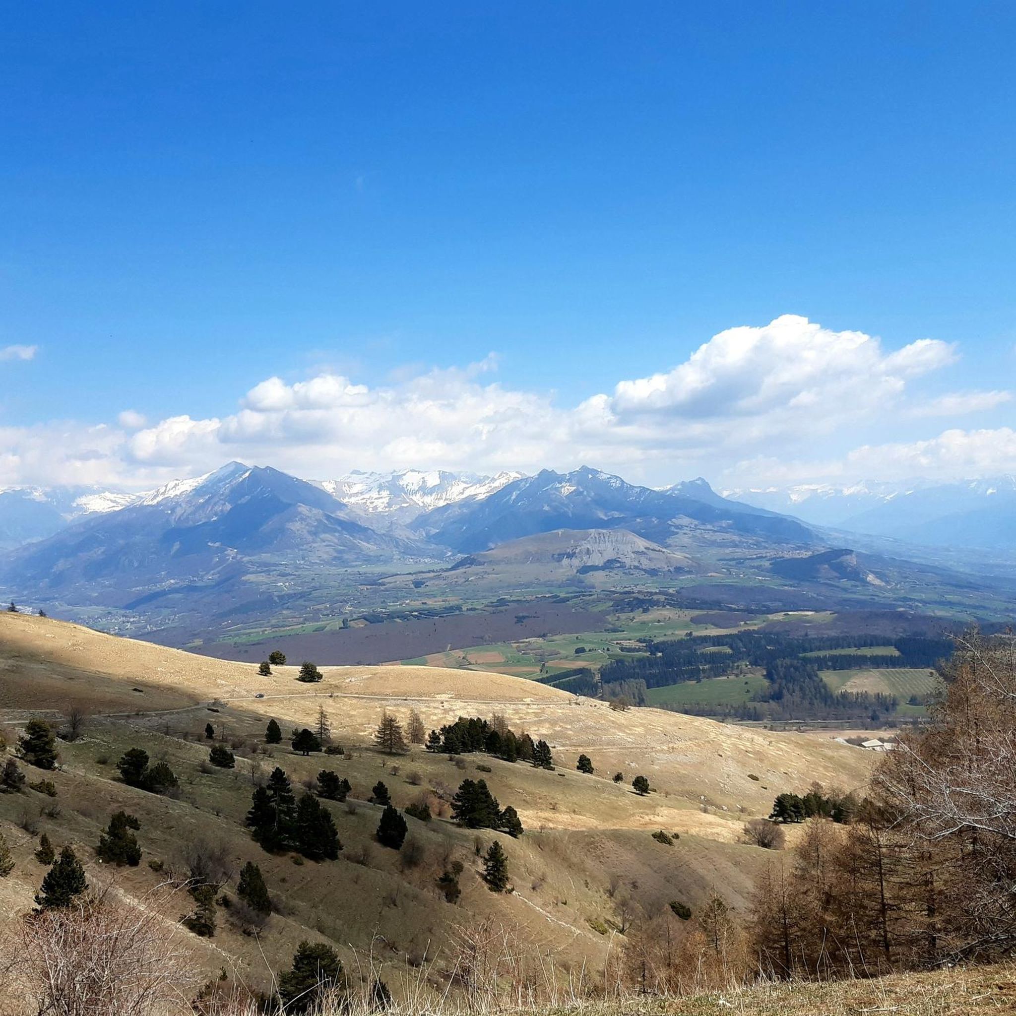
Road cycling around Rabou is characterized by the mountainous landscapes of the Southern French Alps, offering varied terrain for cyclists. The region features challenging climbs and uncrowded roads, often with good asphalt surfaces. Rabou's location provides access to the wider Dévoluy massif, known for its significant ascents and scenic routes.
Best road cycling routes around Rabou
- The most popular road cycling route is Col du Festre - Integral biological reserve of Bois du Chapitre, a 51.8 miles (83.4 km)…
Last updated: October 4, 2026
4.7
(15)
306
riders
63.4km
03:08
910m
910m
Hard road ride. Very good fitness required. Mostly well-paved surfaces and easy to ride.
5.0
(8)
54
riders
39.5km
02:17
900m
900m
Moderate road ride. Good fitness required. Mostly well-paved surfaces and easy to ride.

4.3
(3)
39
riders
48.4km
02:52
1,160m
1,160m
Hard road ride. Very good fitness required. Mostly well-paved surfaces and easy to ride.
32
riders
60.2km
03:32
1,480m
1,480m
Hard road ride. Very good fitness required. Mostly well-paved surfaces and easy to ride.
5.0
(2)
44
riders
Moderate road ride. Good fitness required. Mostly well-paved surfaces and easy to ride.
Get access to more routes and recommendations from other explorers.
Already have an account?
Our route recommendations are based on thousands of hikes, rides, and runs completed by other people on komoot.
Start today with a free account
Your next adventure awaits.

Tips from the Community

The Col d'Espreaux is a climb located in the Hautes-Alpes region. This climb is 12.2 km long, with a total elevation gain of 585 m. The Col d'Espreaux has an average gradient of 4.8%.
19
0
The water here is very good and fresh.
18
0
You can safely drink the water here.
13
0
Not a very long climb with sections of significant gradients.
8
0
Ascent on a secondary road, very easy slopes. Be careful of the slightly slippery asphalt.
7
0
The Col de Foureyssasse from La Saulce is a climb located in the Hautes-Alpes region. This climb is 7 km long, with a total elevation gain of 461 m. The Col de Foureyssasse from La Saulce has an average gradient of 6.6%.
12
0
The Col de la Sentinelle is a climb located in the Serre Ponçon region. This climb is 7.4 km long, with a total elevation gain of 296 m. The Col de la Sentinelle has an average gradient of 4%.
8
0

Frequently Asked Questions
How many road cycling routes are available around Rabou?
There are over 170 road cycling routes around Rabou, catering to various skill levels. You'll find approximately 12 easy routes, 93 moderate routes, and 70 difficult routes, offering a wide range of options for your ride.
What kind of terrain can I expect when road cycling in Rabou?
Road cycling around Rabou is characterized by the mountainous landscapes of the Southern French Alps. You can expect varied terrain, including challenging climbs and scenic descents, often on uncrowded roads with good asphalt surfaces. The region provides access to the wider Dévoluy massif, known for its significant ascents.
Are there any iconic mountain passes accessible for road cyclists near Rabou?
Yes, Rabou's location provides excellent access to several iconic mountain passes. The Col du Noyer (1,664 meters) is a significant challenge, known for its steep gradients and magnificent views. Other passes within the Dévoluy massif, such as Col du Festre and Col de Rioupes, also attract numerous cyclists.
What are 'Cols réservés' operations and how do they benefit cyclists?
'Cols réservés' are special operations where certain legendary mountain roads in the Hautes-Alpes department are periodically closed to motorized vehicles. This offers cyclists a unique opportunity to ascend these passes in complete tranquility, experiencing the mountain without engine noise. The Col du Noyer, for example, participates in this initiative every second Wednesday in August.
Are there any easy road cycling routes suitable for beginners or families around Rabou?
Yes, while the region is known for its challenging climbs, there are options for easier rides. For instance, the Perched Villages of Gapençais Trail is an easy 15.1 km route with moderate elevation gain, suitable for those looking for a less strenuous experience.
What are some notable viewpoints or scenic areas along the road cycling routes?
Throughout the region, cyclists are treated to panoramic views of the Southern French Alps, including the impressive Pic de Bure. The landscapes vary from ancient forests to mountain pastures, providing a diverse and captivating backdrop for your rides. The views from passes like the Col du Noyer are particularly renowned.
What do other road cyclists say about their experience in Rabou?
The road cycling routes around Rabou are highly rated by the komoot community, with an average score of 4.6 stars from over 270 reviews. More than 7,500 road cyclists have used komoot to explore Rabou's varied terrain, often praising the challenging mountain passes, scenic valleys, and uncrowded roads.
Are there any specific routes that offer a good overview of the local landscapes?
The Gapençais Landscapes Route is a moderate 38.2 km path that offers diverse views across the Gapençais area, showcasing the region's characteristic scenery without being overly demanding.
Can I find routes that are circular or loop back to the starting point?
Yes, many routes in the region are designed as loops. For example, the Champsaur Bocage Loop is a 60.7 km trail that takes you through the scenic Champsaur valley and returns to its starting point, offering a complete cycling experience.
What are some challenging routes for experienced road cyclists?
For experienced road cyclists seeking a challenge, routes like the Col du Festre - Integral biological reserve of Bois du Chapitre offer significant elevation gain over 83.4 km. Another demanding option is The climb of the Massif de Céüse, which features substantial ascent over 33.1 km.
What is the best time of year for road cycling in Rabou?
The Hautes-Alpes region, where Rabou is located, is ideal for road cycling during the warmer months, typically from late spring through early autumn. This period offers the most favorable weather conditions and ensures mountain passes are clear of snow, allowing full access to the extensive cycling network.
Most popular attractions around Rabou

Get inspired with the komoot mobile app


Explore more
Browse the best Road cycling routes in other regions.
