The best walks and hikes around Metzeral
4.6
(4229)
19,190
hikers
120
hikes
Hiking around Metzeral offers diverse and dramatic landscapes within the Vosges mountains. The region is characterized by mountainous terrain, including the majestic Hohneck massif and the Wormsa Valley, a classified natural site. Hikers will find a mix of dense forests, high-altitude pastures, and glacial lakes such as Lac du Fischboedlé and Lac du Schiessrothried. Rocky ridges like the Spitzkoepfe and impressive waterfalls further define the varied terrain.
Best hiking trails around Metzeral
- The most popular hiking route is Le Hohneck…
Last updated: November 8, 2026
4.8
(173)
716
hikers
Hard hike. Very good fitness required. Sure-footedness, sturdy shoes and alpine experience required.
4.8
(454)
1,953
hikers
8.16km
02:25
230m
230m
Moderate hike. Good fitness required. Mostly walkable paths. Sure-footedness required.

4.8
(440)
1,852
hikers
Moderate hike. Good fitness required. Mostly walkable paths. Sure-footedness required.
4.7
(241)
1,128
hikers
8.60km
02:34
270m
270m
Moderate hike. Good fitness required. Easily walkable paths.
4.8
(101)
637
hikers
22.4km
08:22
1,040m
1,040m
Hard hike. Very good fitness required. Sure-footedness, sturdy shoes and alpine experience required.
Get access to more routes and recommendations from other explorers.
Already have an account?
Our route recommendations are based on thousands of hikes, rides, and runs completed by other people on komoot.
Start today with a free account
Your next adventure awaits.
Popular around Metzeral
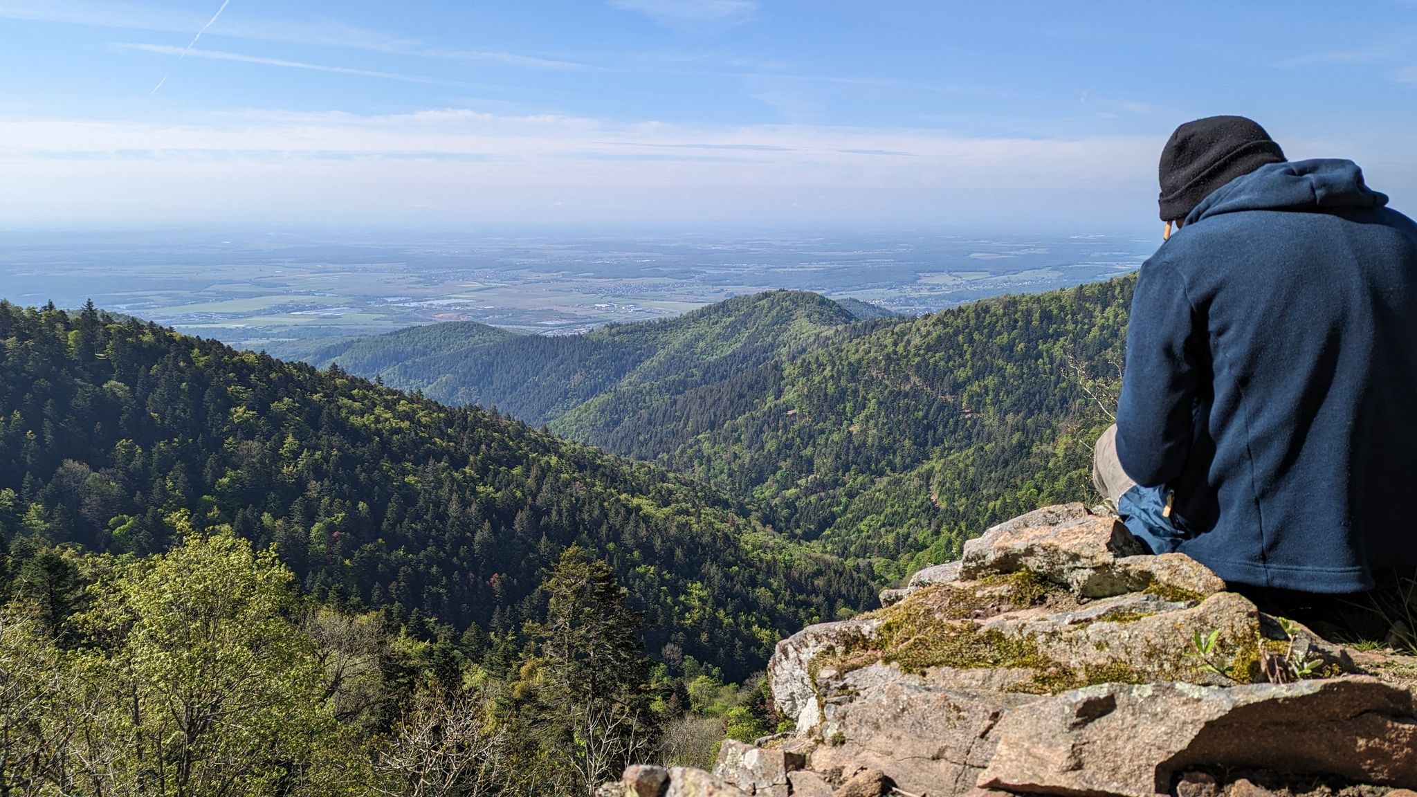
Sentier de l'Europe (GR 5) – Montbéliard to Abreschviller
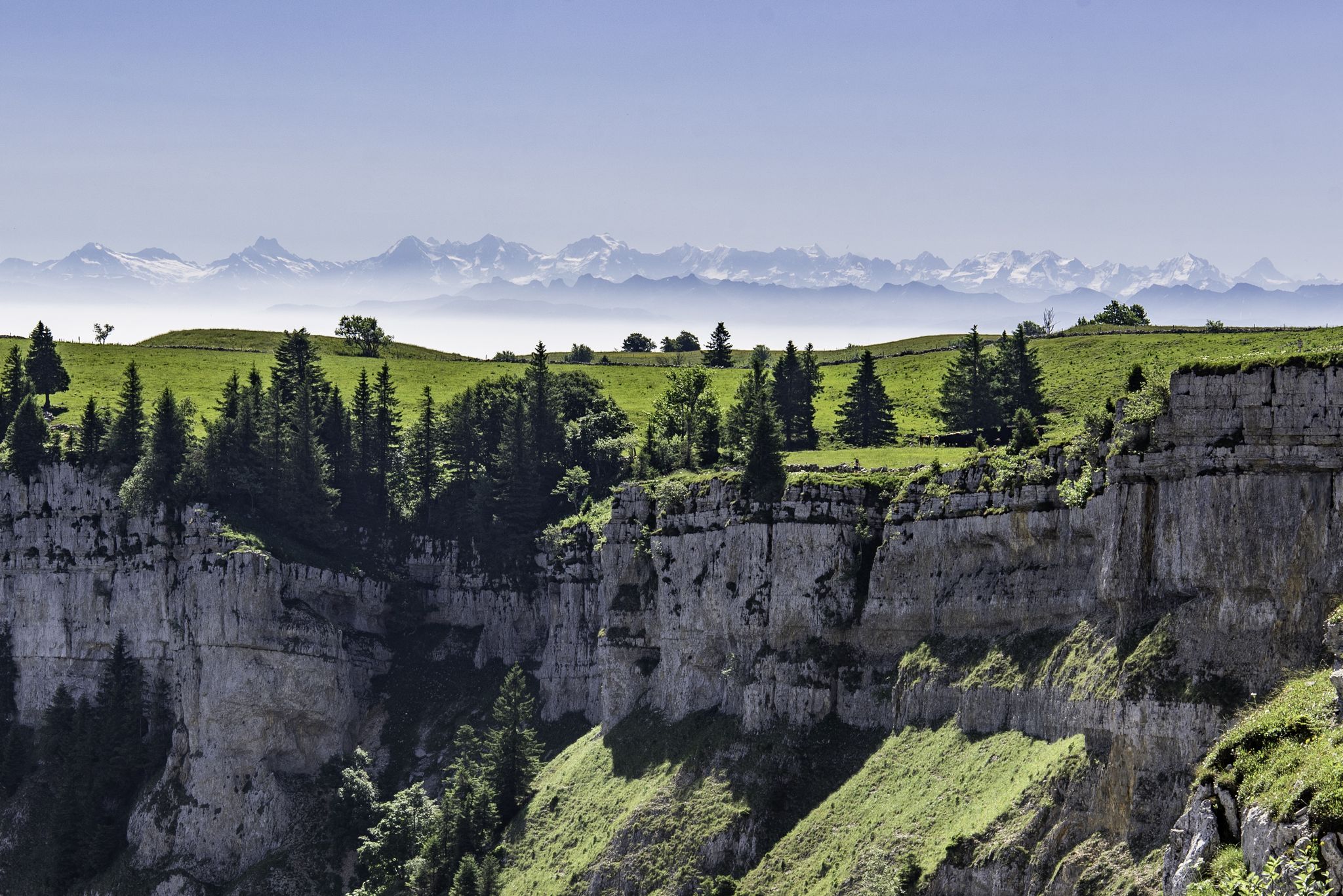
From the Vosges to the Jura mountains – Hexatrek, le Grand Est
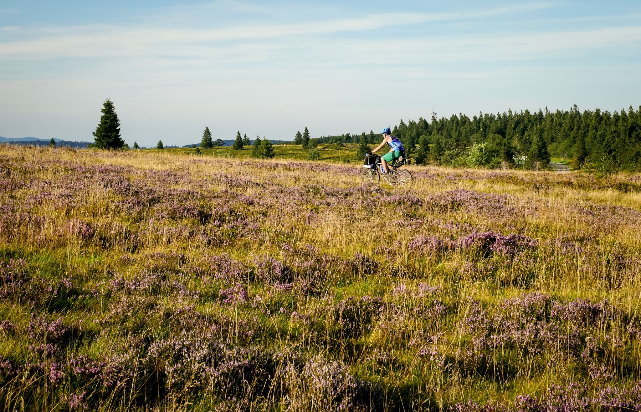
Traversée du Massif Vosgien — Alsace bikepacking
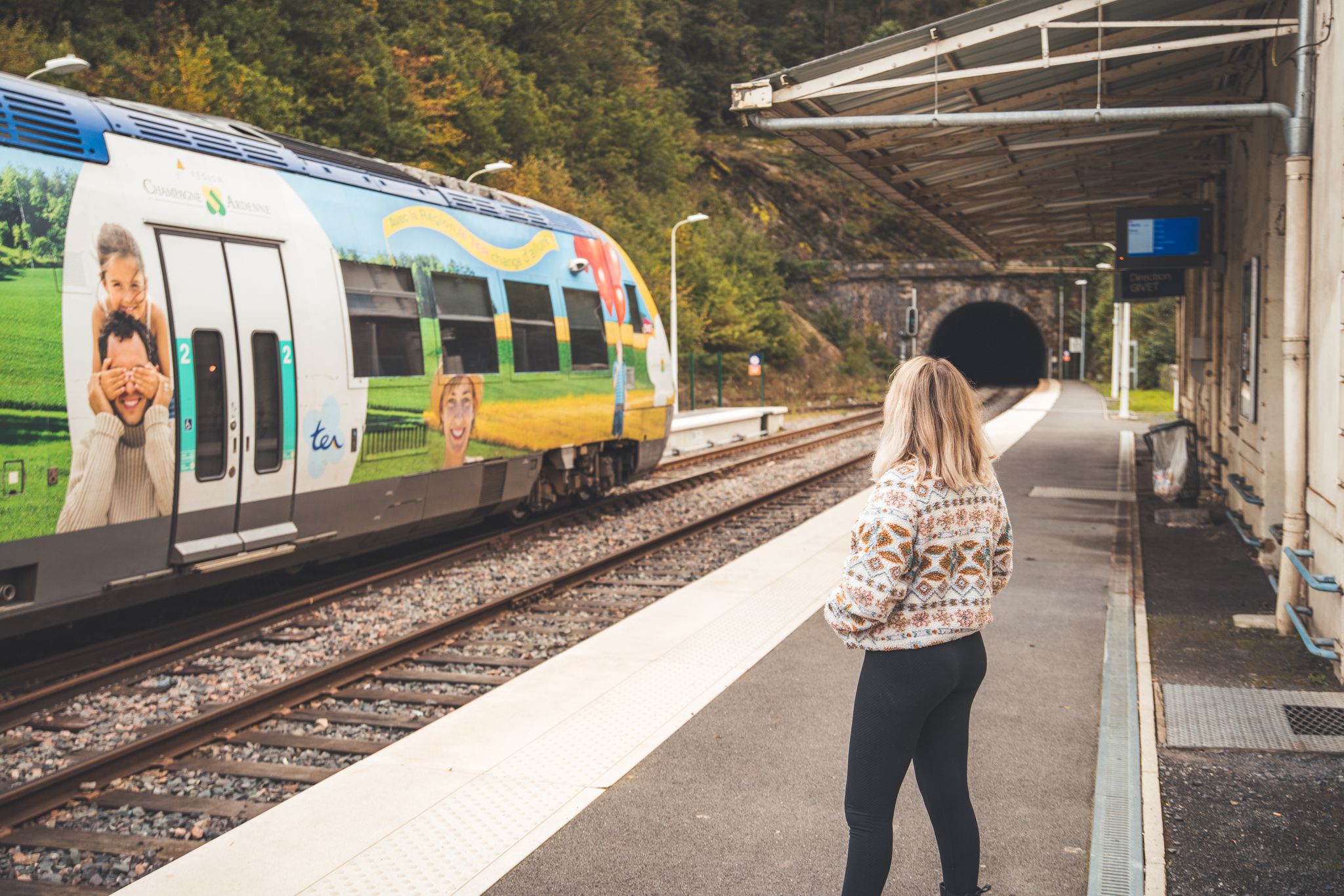
The Grand Est without a car – cycling from station to station
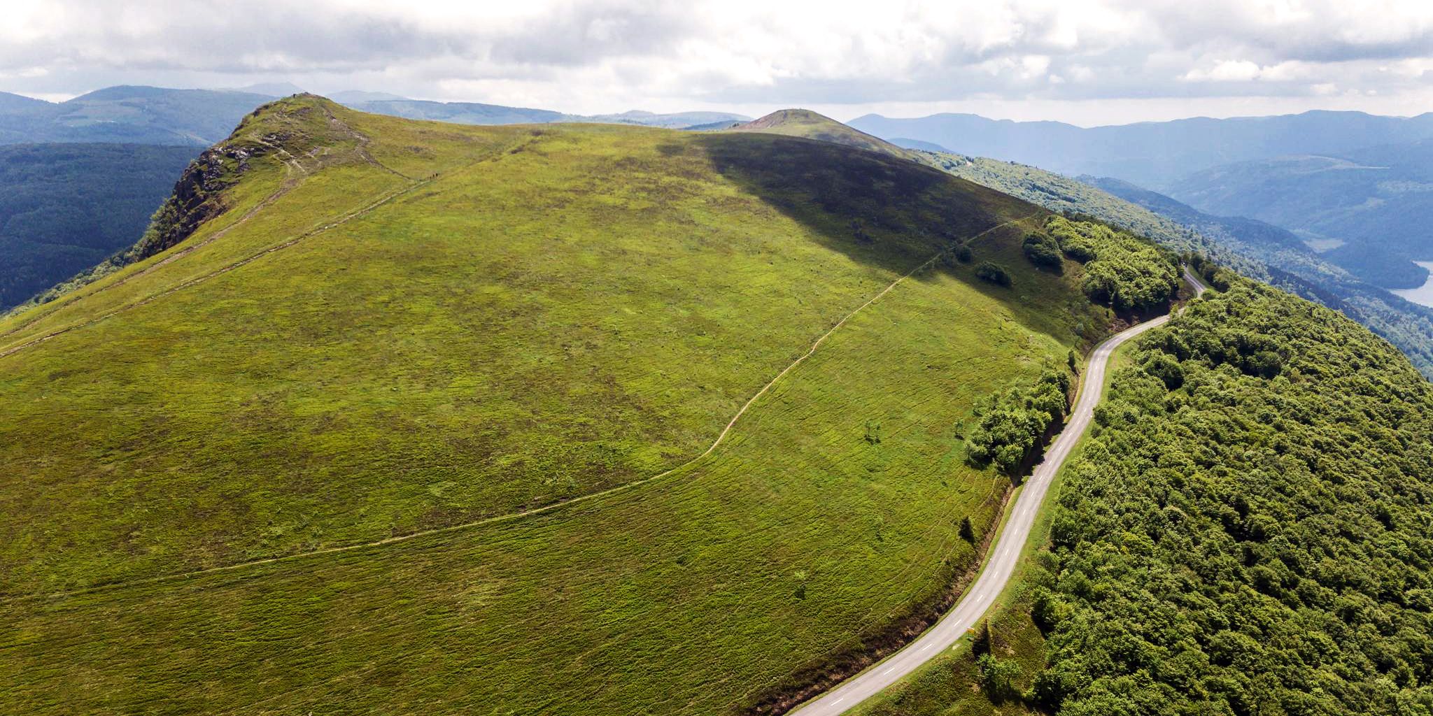
Beautiful passes In the Vosges Mountains
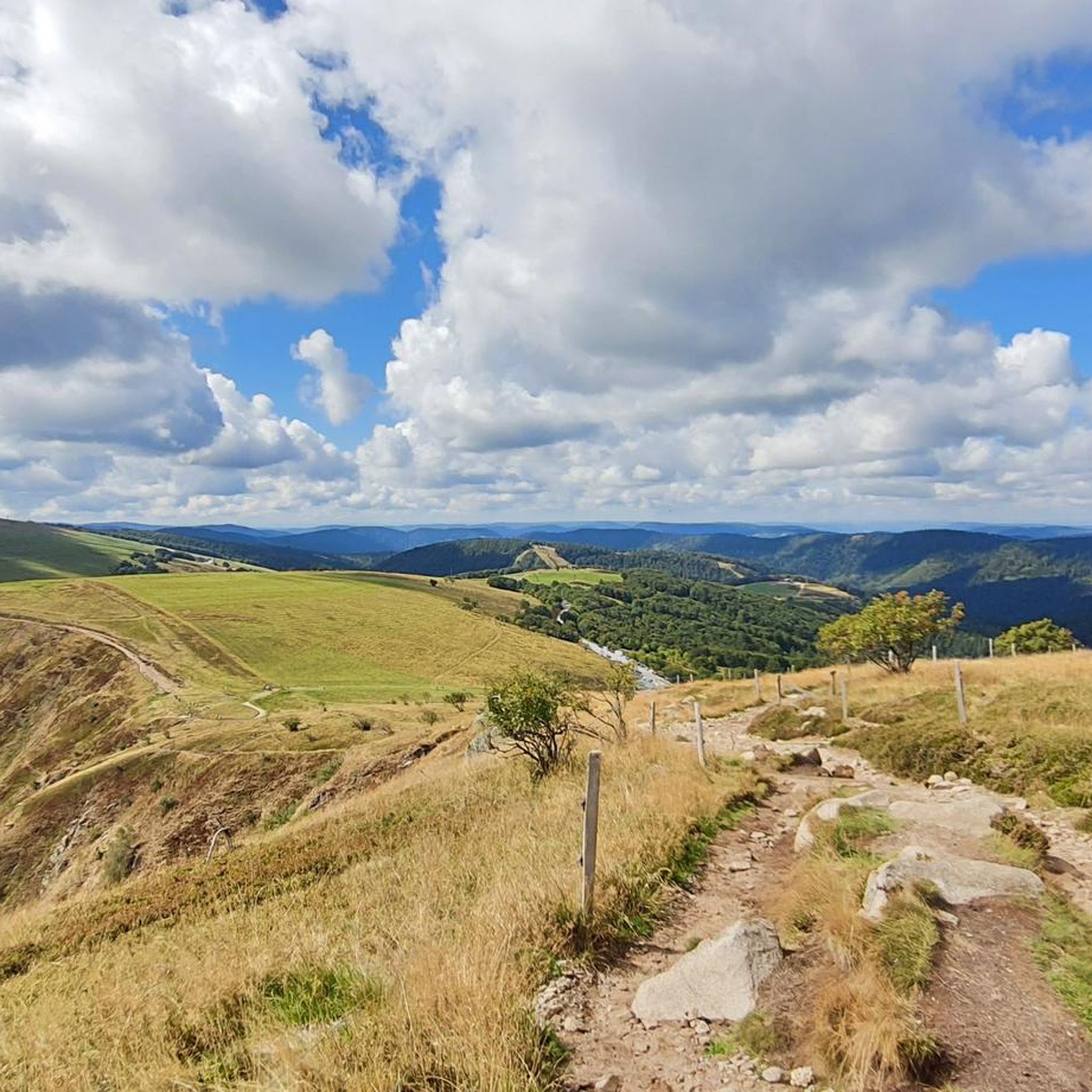
Cycling around Metzeral
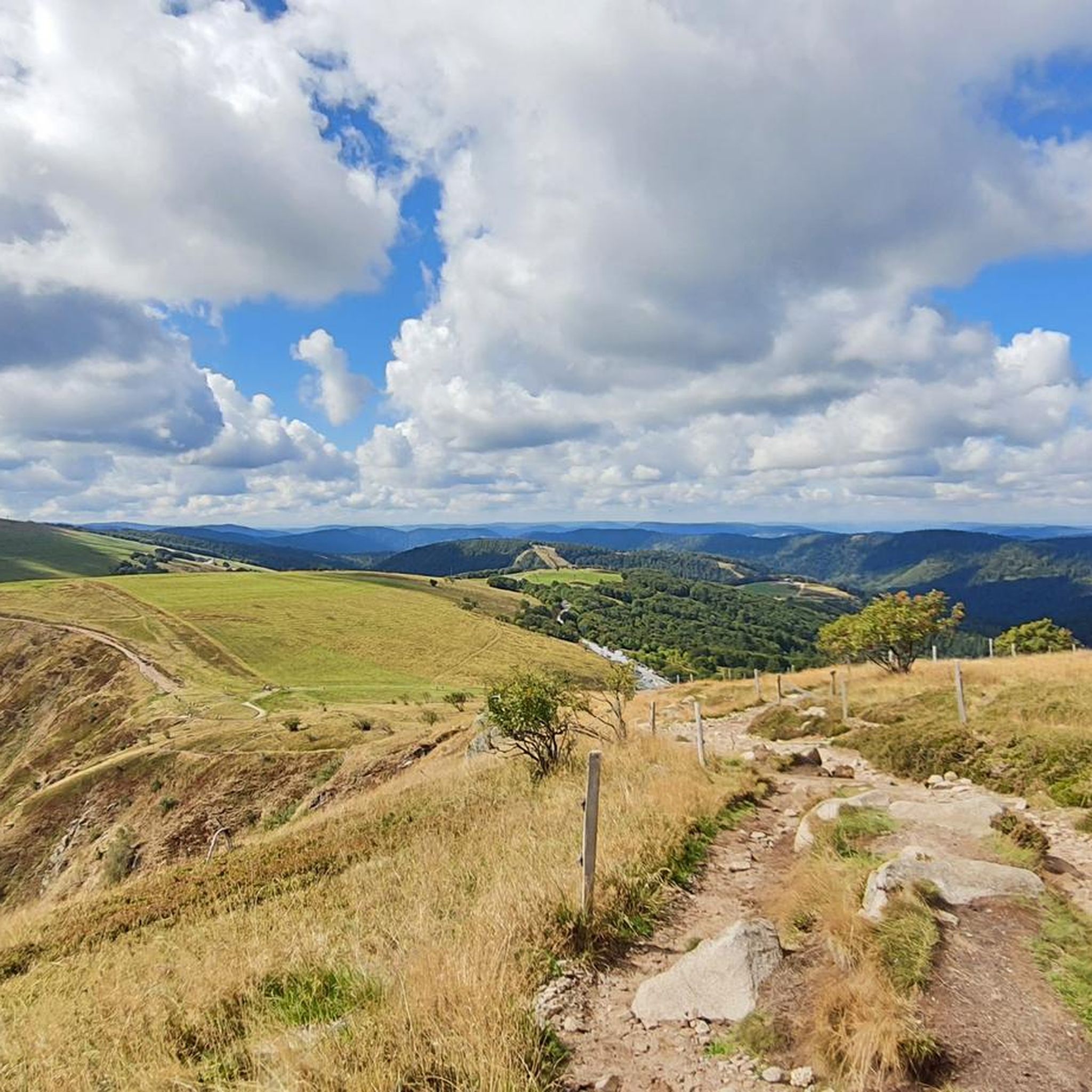
Road Cycling Routes around Metzeral
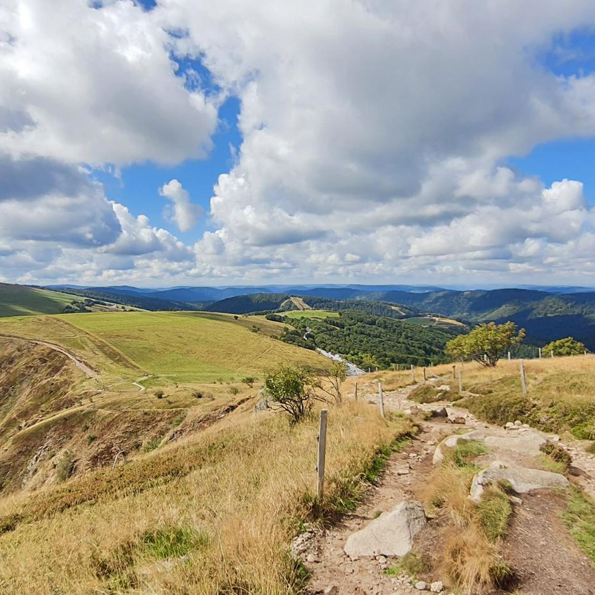
MTB Trails around Metzeral

Gravel biking around Metzeral
Running Trails around Metzeral
Other adventures around Metzeral


Tips from the Community

The Schaeferthalpass (French: Col du Schaeferthal) is an important mountain pass located at an altitude of 1,224 to 1,228 meters in the High Vosges. It connects the ice-age Frankenthal Valley with the glacial cirque of the Schiessrothried lake and forms a central hub for challenging circular hikes.
0
0
The Réserve Naturelle Nationale de Frankenthal-Missheimle is one of the most spectacular and ecologically valuable nature reserves in the High Vosges. It stretches along the Alsatian eastern side of the Vosges ridge between the Hohneck and the Col de la Schlucht. The area is characterized by steep glacial valleys (cirques), vertical rock faces, high moors, and alpine plateaus. Landscape highlights in the protected area The Frankenthal Valley: A kettle-shaped, deeply incised glacial valley. The Ferme Auberge of the same name is located here amidst lush meadows. The Martinswand: An imposing, almost vertical rock face directly above the valley. It is an extremely popular area for climbers and a breeding ground for rare birds. The Hirschsteine (Rochers des Hirschsteine): A striking rock formation that can be ascended via an adventurous path, secured with ladders and steps (the Sentier des Hirschsteine). The Missheimle Moor: A sensitive high moor below the rocks of the Petit Wurzelstein. Flora and fauna Due to the harsh microclimate, glacial relics and alpine species have been preserved here: Animals: The reserve is famous for its chamois, which can be observed especially in the morning on the steep slopes of the Wormspel. The extremely rare and protected capercaillie (Grand Tétras) and peregrine falcons also live here. Plants: Botanical specialities such as arnica, yellow gentian, and the Vosges alpine knotweed (Vogesen-Alpenbergknöterich) characterize the vegetation.
0
0

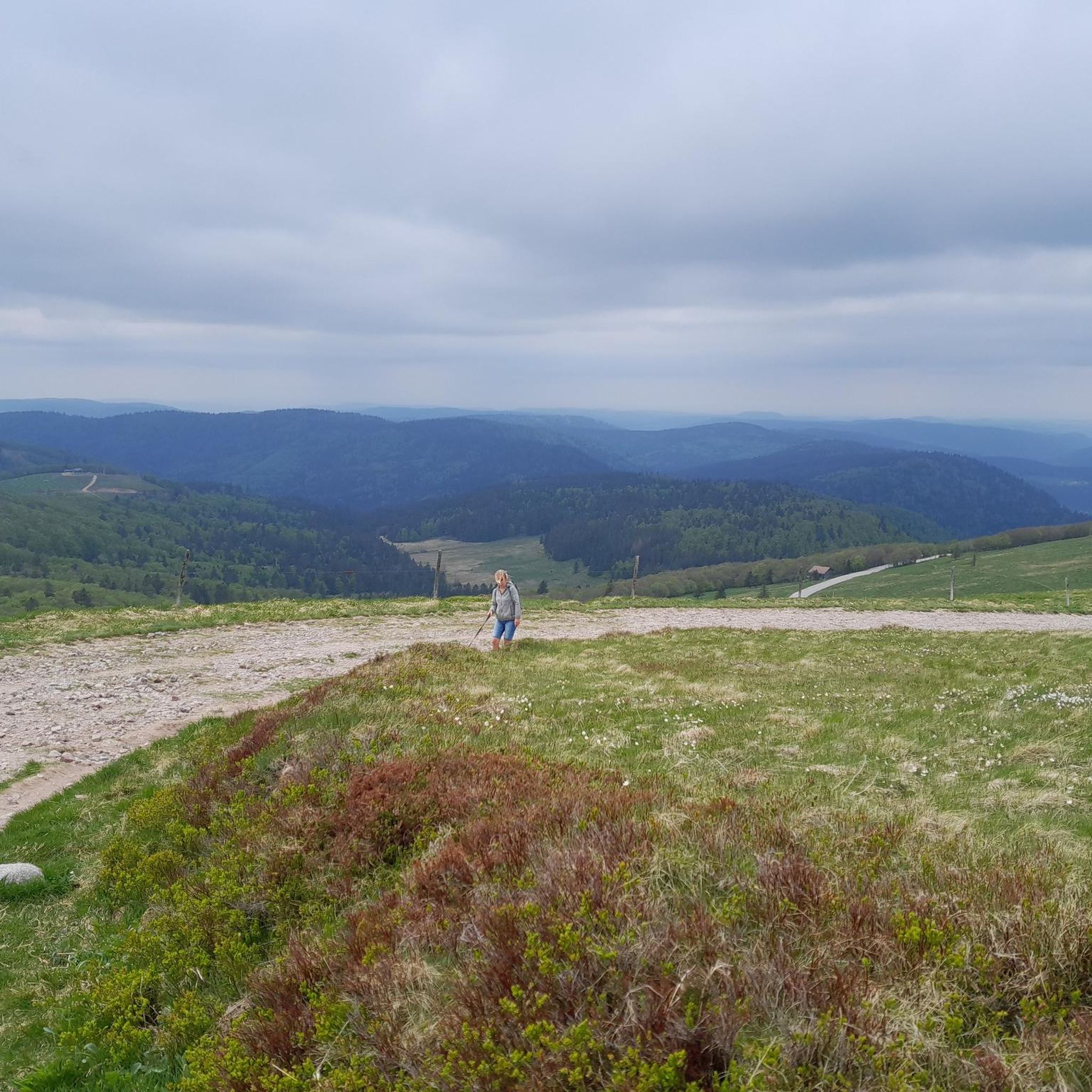
Just enjoy the beautiful views.
1
0

It culminates at 1228 meters altitude.
0
0

Here you arrive relaxed at the starting point of the tour when descending from the Hohneck
4
0


... with impressive views...
2
0

From here, you have a truly magnificent view and can reward yourself with a light meal at the summit restaurant. Unfortunately, the hotel at the summit is currently closed. (For about a year.) As of September 2025
0
0
Frequently Asked Questions
How many hiking trails are available in Metzeral?
Metzeral offers a comprehensive network of over 110 hiking trails. These range from easy family walks to very difficult treks, catering to all skill levels.
What kind of terrain can I expect on hikes around Metzeral?
The region around Metzeral is characterized by diverse and dramatic landscapes. You'll encounter mountainous terrain, including the majestic Hohneck massif, dense forests, high-altitude pastures, and picturesque glacial lakes like Lac du Fischboedlé and Lac du Schiessrothried. Many trails also feature rocky ridges, impressive waterfalls, and varied paths.
When is the best time of year to hike in Metzeral?
The best time for hiking in Metzeral is generally from spring through autumn. Some higher-altitude routes, particularly around the Hohneck massif, may be inaccessible during winter (typically November to April) due to snow and ice conditions.
Are there easy or beginner-friendly hikes in Metzeral?
Yes, Metzeral offers a good selection of easier trails. Out of over 110 routes, 32 are classified as easy, making them suitable for beginners or those looking for a more relaxed walk. These often include family-friendly options through forests or around lakes.
Can I find circular hiking routes in Metzeral?
Yes, many of the hiking trails in Metzeral are circular, allowing you to start and end at the same point. For example, the Forest Waterfall – Lake Fischboedle loop from Metzeral is a popular circular route that takes you through forested areas and past waterfalls.
What natural features or landmarks can I see while hiking in Metzeral?
Metzeral is rich in natural attractions. You can explore the spectacular Wormsa Valley with its rocky cirques and glacial moraines, visit glacial lakes such as Lac du Forlet, or ascend the Hohneck for panoramic views. The Sentier des Roches is another notable feature, offering a challenging experience along a mythical trail.
Are there any hikes that feature waterfalls?
Absolutely! The region around Metzeral is known for its impressive waterfalls. You can find several along various trails, such as the Forest Waterfall – Lake Fischboedle loop from Metzeral. Other notable waterfalls include the Waterfall on Sentier des Roches, Bockloch Waterfall, and Charlemagne Waterfall.
Which hikes offer the best panoramic views?
For breathtaking panoramic views, consider routes that ascend the Hohneck massif. From the summit of Hohneck, you can often see across the entire Vosges mountain range, the Black Forest, and even the distant Alps on clear days. The Hohneck – View of Lake Schiessrothried loop from Metzeral is a challenging route that offers varied mountain scenery and stunning vistas.
What do other hikers enjoy the most about hiking in Metzeral?
The hiking routes in Metzeral are highly rated by the komoot community, with an average score of 4.6 stars from over 2600 reviews. Hikers frequently praise the diverse and dramatic landscapes, the well-maintained trail network, and the stunning views from peaks like the Hohneck. The mix of forests, lakes, and challenging mountain paths is often highlighted as a favorite aspect.
Are dogs allowed on hiking trails in Metzeral?
Generally, dogs are welcome on hiking trails in Metzeral, but it's always advisable to keep them on a leash, especially in nature reserves or areas with livestock and wildlife. Always check specific trail regulations before you go.
Can I spot wildlife while hiking in Metzeral?
Yes, the diverse natural environment of Metzeral offers opportunities for wildlife spotting. Chamois sightings are possible on the slopes of the Hohneck, particularly early in the morning or late at night. The dense forests and high-altitude pastures are home to various other species as well.
What are the typical durations for hikes in Metzeral?
Hike durations in Metzeral vary widely depending on the trail's length and difficulty. For instance, the Le Hohneck par la vallée de la Wormsa route is a difficult 9.5-mile (15.3 km) trail that typically takes about 6 hours. Shorter, easier walks can be completed in 2-3 hours, while longer, more challenging routes might take a full day.
Most popular routes around Metzeral
Most popular attractions around Metzeral

Get inspired with the komoot mobile app


Explore more
Browse the best Hikes in other regions.
