The best cycling routes around Kolrein
4.3
(118)
1,285
riders
109
rides
Touring cycling routes around Kolrein navigate a landscape characterized by varied elevations, including several mountain passes and forested valleys. The region features a mix of challenging ascents and scenic descents, often following routes that connect small towns and natural landmarks. These paths frequently offer views of the surrounding terrain and lead through areas with significant tree cover.
Best touring cycling routes around Kolrein
- The most popular touring cycling route is Col de Steige – View of Steige loop from Colroy-la-Roche…
Last updated: October 8, 2026
4.6
(12)
87
riders
46.7km
03:03
600m
600m
Hard bike ride. Very good fitness required. Mostly paved surfaces. Suitable for all skill levels.
4.8
(4)
30
riders
53.5km
03:45
990m
990m
Hard bike ride. Very good fitness required. Mostly paved surfaces. Suitable for all skill levels.

5.0
(2)
18
riders
Moderate bike ride. Good fitness required. Mostly paved surfaces. Suitable for all skill levels.
5.0
(6)
18
riders
44.2km
03:05
710m
710m
Hard bike ride. Very good fitness required. Mostly paved surfaces. Suitable for all skill levels.
12
riders
32.2km
02:31
820m
820m
Hard bike ride. Very good fitness required. Mostly paved surfaces. Suitable for all skill levels.
Get access to more routes and recommendations from other explorers.
Already have an account?
Our route recommendations are based on thousands of hikes, rides, and runs completed by other people on komoot.
Start today with a free account
Your next adventure awaits.

Tips from the Community

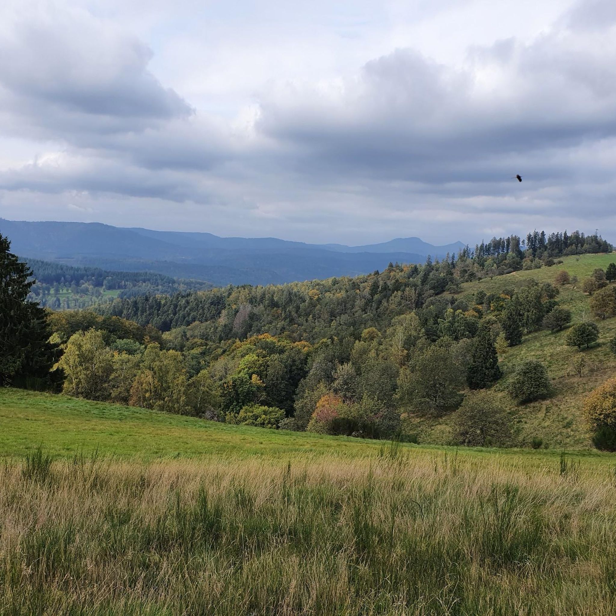
The Champ du Feu, at 1099 meters, is the highest mountain in the Bas-Rhin department in the Vosges in Alsace. It is located between the towns of Belmont and Le Hohwald and consists of a vast plateau with forests, meadows, and moorlands. The area is a popular nature and recreational area. In summer, it is mainly used for hiking, mountain biking, and nature observation. In winter, there is a small ski area with cross-country trails and simple slopes for winter sports. From the Champ du Feu, the La Serva stream originates, which later forms the Cascade de la Serva. In clear weather, the summit offers wide views over the Vosges, the Rhine plain, and even the Black Forest. The area is particularly known for its quiet nature, high moors, sunrises and starry skies, as well as well-marked hiking trails.
0
0

Beautiful route, pleasant but lots of bikers...
0
0


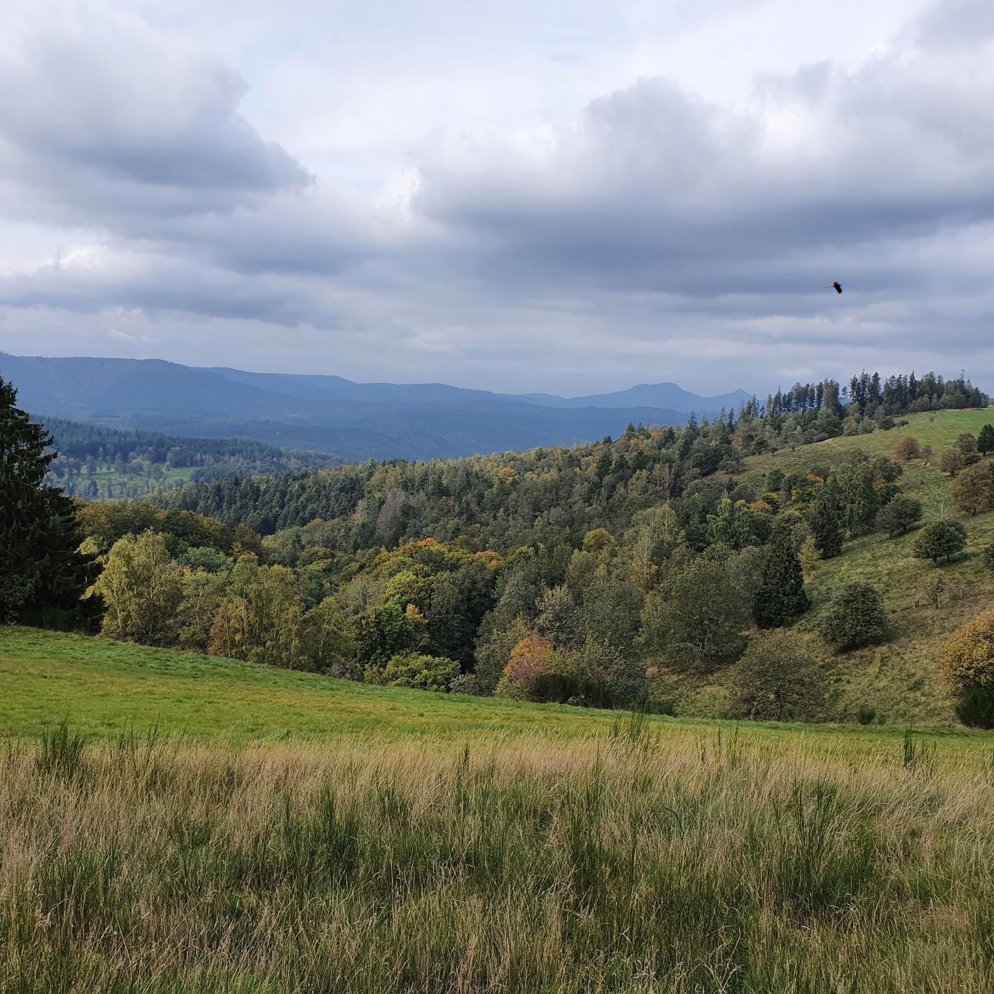
Magnificent pass to climb from different slopes (Breitenbach, Steige, Vallée de la Bruche, Andlau). It is also a crossing point towards the Champ du feu, the Hohwald, the Mont Ste Odile.
0
0

Historic village in the Vosges Ban-de-Sapt is located on a strategic height in the Vosges and was the scene of fierce fighting during WWI, especially around the côte 627. Today it is a peaceful place with a rich culture of remembrance. The Nécropole nationale de la Fontenelle, original trenches, a panoramic table and a rare steel observation capsule from WWI make the village a unique destination for those who want to combine nature and history.
7
0

Coffee is also available. You can sit inside or outside.
1
0

Rothau played an important role in the valley's religious history, as evidenced by this 19th-century Protestant church. Admission is free.
0
0
Frequently Asked Questions
How many touring cycling routes are available around Kolrein?
There are over 120 touring cycling routes documented on komoot for the Kolrein region, offering a wide range of options for different skill levels and preferences.
Are there easy or family-friendly touring cycling routes in Kolrein?
Yes, Kolrein offers 10 easy touring cycling routes suitable for beginners or families. These routes typically feature less challenging ascents and more gentle terrain, often following shaded paths or connecting smaller villages. While specific easy routes are not highlighted in the top selections, you can find them by filtering for 'easy' difficulty on komoot.
What kind of terrain can I expect on touring cycling routes in Kolrein?
The terrain around Kolrein is characterized by varied elevations, including several mountain passes and forested valleys. You'll encounter a mix of challenging ascents and scenic descents, often on routes that connect small towns and natural landmarks. Many paths offer significant tree cover, providing shade.
Are there any circular touring cycling routes around Kolrein?
Many of the touring cycling routes in Kolrein are designed as loops, allowing you to start and end in the same location. For example, the Salcée Pass – Col de Steige loop from Saulxures is a moderate 12.9-mile (20.7 km) route that offers a circular experience through varied landscapes.
What are some challenging touring cycling routes in Kolrein for experienced riders?
For experienced touring cyclists, Kolrein offers 79 difficult routes with significant climbs and longer distances. A notable challenging route is the Charbonnière Pass – Shaded bicycle path loop from Saint-Blaise-la-Roche, which covers 33.2 miles (53.5 km) and includes a substantial pass.
What kind of natural attractions can I see along the touring cycling routes?
Kolrein's routes often pass by various natural attractions. You might encounter the beautiful Hohwald waterfall, or pass through areas like the Protected Natural Area of La Châtaigne Pendue. The region also features notable summits like Champ du Feu and mountain passes such as Col de la Perheux.
Are there historical landmarks or castles to explore near the cycling routes?
Yes, the Kolrein area is rich in historical sites, including several castles. You can find routes that pass near impressive structures like Salm Castle, La Roche Castle, or the ruins of Château du Bilstein, offering a glimpse into the region's past.
What is the best time of year for touring cycling in Kolrein?
The best time for touring cycling in Kolrein is generally from spring through autumn. During these seasons, the weather is more favorable, and the forested paths and mountain passes are most accessible. While winter cycling is possible, some higher elevation routes might be affected by snow or ice.
Are there places to stop for refreshments like cafes or pubs along the routes?
Many touring cycling routes in Kolrein connect small towns and villages, which often have local cafes, bakeries, or pubs where you can stop for refreshments. The routes are designed to integrate with the local community, providing opportunities for breaks and to experience local hospitality.
What do other touring cyclists say about the routes in Kolrein?
The touring cycling routes in Kolrein are highly rated by the komoot community, with an average score of 4.4 stars from over 120 reviews. Cyclists often praise the varied terrain, the scenic views from mountain passes, and the well-maintained shaded bicycle paths that connect local villages.
How long do touring cycling routes in Kolrein typically take to complete?
Route durations vary significantly based on distance and difficulty. For example, a moderate route like the Rothau Protestant Temple – Picnic area by the water loop from Saint-Blaise-la-Roche, at 10.9 miles (17.5 km), takes around 1 hour 10 minutes. More challenging routes, such as the 22.5-mile (36.1 km) Col de Steige – View of Steige loop from Colroy-la-Roche, can take over 2 hours 30 minutes.
Is parking available at the starting points of touring cycling routes in Kolrein?
Many touring cycling routes in Kolrein start from or pass through villages and towns where public parking is typically available. While specific parking details for every route are not listed, it's common to find designated parking areas near trailheads or in village centers, especially for popular routes.
Most popular attractions around Kolrein

Get inspired with the komoot mobile app


Explore more
Browse the best Cycling routes in other regions.
