The best MTB trails around Kolrein
4.3
(166)
755
riders
106
rides
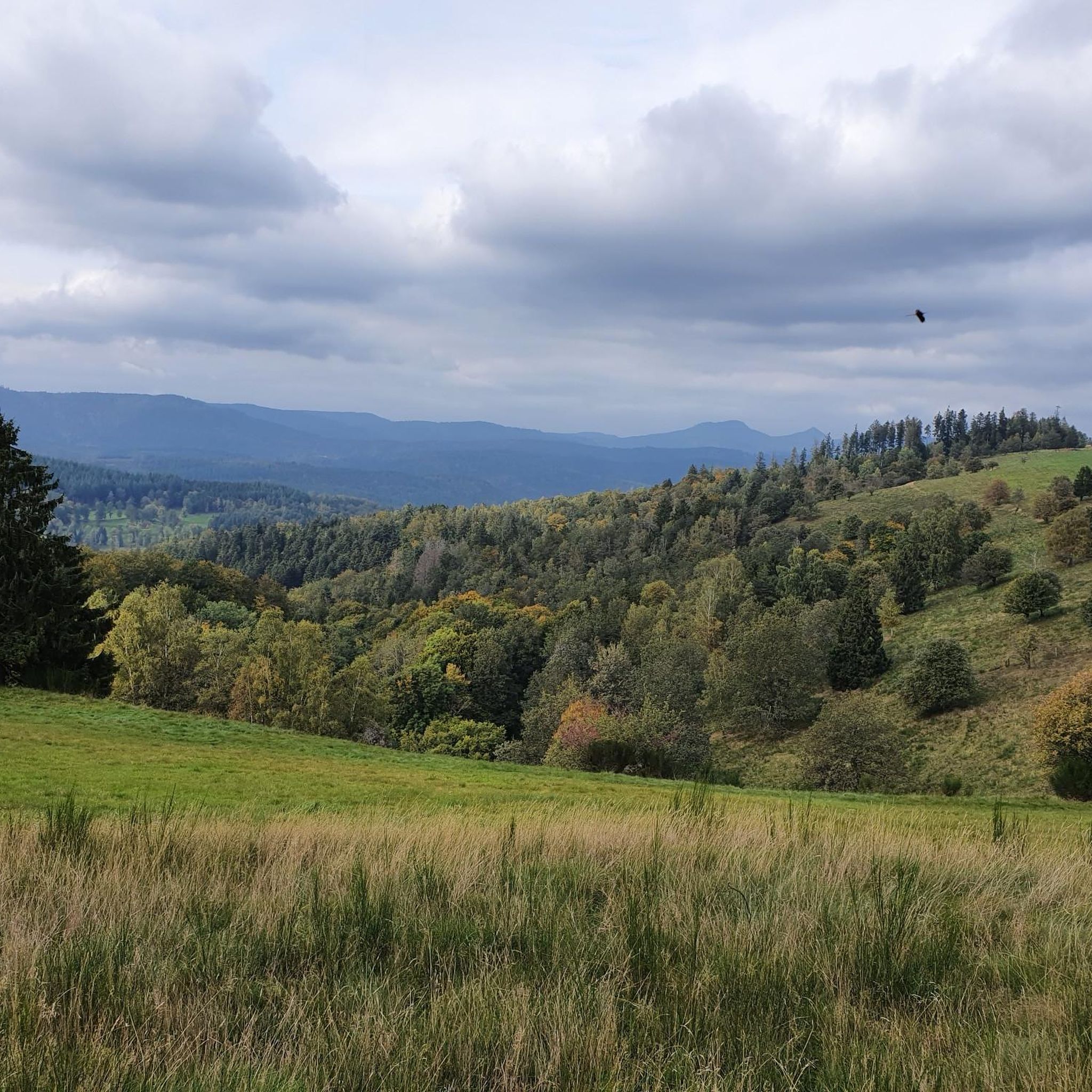
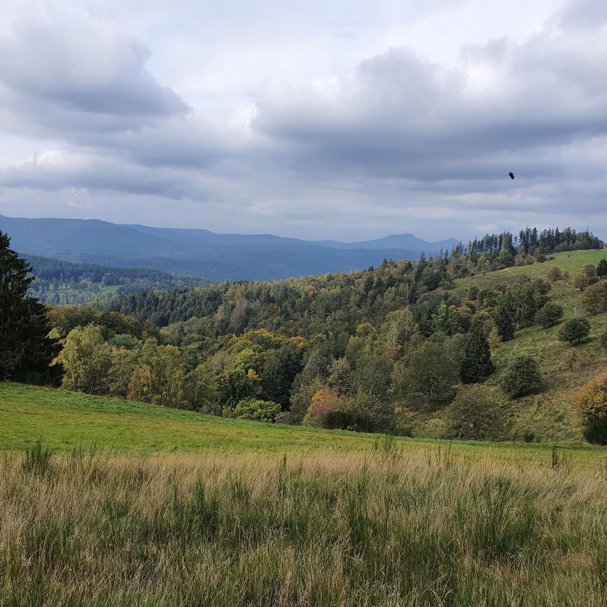
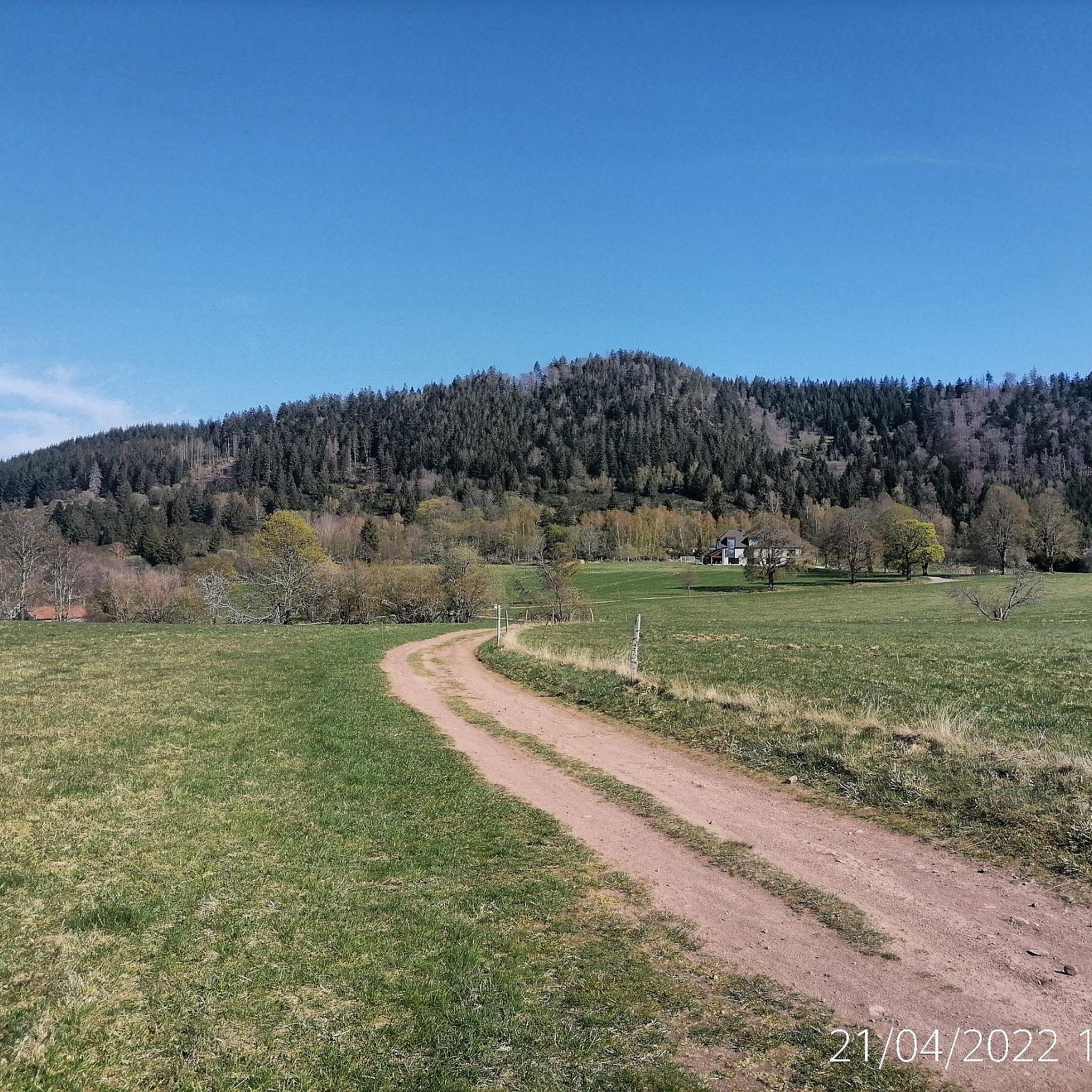
Mountain biking around Kolrein offers a diverse landscape characterized by rolling hills, dense forests, and historic trails. The region features significant elevation changes, with routes traversing through valleys and ascending to various passes and shelters. This terrain provides a mix of challenging climbs and rewarding descents for mountain bikers.
Best mountain bike trails around Kolrein
- The most popular mountain bike trail is Salm Castle – Blue Cross Trail loop from Saulxures, a 22.8 miles (36.7 km) trail that takes…
Last updated: October 8, 2026
4.3
(4)
18
riders
28.9km
02:59
810m
810m
Moderate mountain bike ride. Good fitness required. Advanced riding skills necessary.
4.1
(10)
15
riders
31.2km
02:19
540m
540m
Moderate mountain bike ride. Good fitness required. Suitable for all skill levels.

4.7
(3)
9
riders
Moderate mountain bike ride. Good fitness required. Advanced riding skills necessary.
5.0
(5)
10
riders
35.0km
03:10
740m
740m
Moderate mountain bike ride. Good fitness required. Advanced riding skills necessary.
4.3
(4)
10
riders
34.9km
02:30
490m
490m
Moderate mountain bike ride. Good fitness required. Advanced riding skills necessary.
Get access to more routes and recommendations from other explorers.
Already have an account?
Our route recommendations are based on thousands of hikes, rides, and runs completed by other people on komoot.
Start today with a free account
Your next adventure awaits.

Tips from the Community

As a souvenir of a difficult period during which some people put themselves at the service of others.
4
0
A refuge at the summit...
4
0
This peaceful pond in the middle of the woods is very close to a large parking lot, an ideal starting point for hikes.
4
0
Who, how, and why were these cupules carved?
4
0


Champ du Feu, at 1099 meters, is the highest mountain in the Bas-Rhin department of the Vosges in Alsace. It lies between the towns of Belmont and Le Hohwald and consists of an extensive high plateau with forests, meadows, and moorlands. The area is a popular nature and recreational area. In summer, it is mainly used for hiking, mountain biking, and nature observation. In winter, there is a small ski area with cross-country trails and simple slopes for winter sports. The brook La Serva originates from Champ du Feu, later forming the Cascade de la Serva. In clear weather, the summit offers wide views over the Vosges, the Rhine plain, and as far as the Black Forest. The area is particularly known for its tranquil nature, high moors, sunrises and starry skies, as well as well-marked hiking trails.
0
0
The Champ du Feu, at 1099 meters, is the highest mountain in the Bas-Rhin department in the Vosges in Alsace. It is located between the towns of Belmont and Le Hohwald and consists of a vast plateau with forests, meadows, and moorlands. The area is a popular nature and recreational area. In summer, it is mainly used for hiking, mountain biking, and nature observation. In winter, there is a small ski area with cross-country trails and simple slopes for winter sports. From the Champ du Feu, the La Serva stream originates, which later forms the Cascade de la Serva. In clear weather, the summit offers wide views over the Vosges, the Rhine plain, and even the Black Forest. The area is particularly known for its quiet nature, high moors, sunrises and starry skies, as well as well-marked hiking trails.
0
0

Beautiful route, pleasant but lots of bikers...
0
0
Frequently Asked Questions
How many mountain bike trails are available in Kolrein?
Kolrein offers a wide selection of mountain bike trails, with over 90 routes available on komoot. These range from easy paths to challenging ascents and descents through varied terrain.
Are there easy mountain bike trails suitable for beginners in Kolrein?
Yes, Kolrein has several easy mountain bike trails perfect for beginners. There are 4 routes specifically graded as easy, allowing riders to enjoy the region's scenery without overly technical challenges.
What are some moderate mountain bike trails in Kolrein?
The majority of mountain bike trails in Kolrein are moderate, with 69 routes in this category. A good option is the Salm Castle – Blue Cross Trail loop from Saulxures, which is 22.8 miles (36.7 km) long and explores historical sites and forested paths.
Are there any challenging mountain bike trails for experienced riders in Kolrein?
Yes, for experienced mountain bikers seeking a challenge, Kolrein features 20 difficult routes. These trails often include significant elevation changes and more technical sections, providing a rewarding experience for advanced riders.
Are there mountain bike trails in Kolrein that are loop trails?
Many of the mountain bike trails in Kolrein are designed as loops, offering a convenient way to start and finish in the same location. Examples include the Super fun trail – The poetry trail loop from Saint-Blaise-la-Roche and The poetry trail – Super fun trail loop from Saulxures.
What kind of scenery can I expect on mountain bike trails in Kolrein?
Mountain biking in Kolrein is characterized by diverse scenery, including rolling hills, dense forests, and historic trails. You'll encounter significant elevation changes, with routes traversing through valleys and ascending to various passes and shelters, offering rewarding views.
What do other mountain bikers enjoy the most about mountain biking in Kolrein?
The mountain bike trails in Kolrein are highly rated by the komoot community, with an average score of 4.4 stars from over 120 reviews. Riders often praise the varied terrain, the mix of challenging climbs and rewarding descents, and the well-maintained paths through forested hills and historic areas.
Are there any interesting historical sites or landmarks along the mountain bike trails in Kolrein?
Yes, Kolrein's trails often pass by historical sites. You can explore various castles such as Salm Castle, La Roche Castle, and Schirmeck Castle. The Salm Castle – Blue Cross Trail loop from Saulxures is a good example of a route that incorporates historical sites.
Are there places to stop for refreshments or shelter along the mountain bike routes?
Yes, some routes in Kolrein offer opportunities for refreshments or shelter. You might find huts and inns like The Haute Loge shelter or Rothlach Inn along or near the trails. The The Haute Loge shelter – Hantz Pass loop from Saint-Blaise-la-Roche specifically includes a shelter.
What is the typical duration for mountain bike tours in Kolrein?
The duration of mountain bike tours in Kolrein varies depending on the route and your pace. Moderate trails like the Climont – Col de Steige loop from Saint-Blaise-la-Roche, which is 33.6 km, can take around 2 hours 21 minutes, while longer routes might take over 3 hours.
Are there any specific passes or shelters that mountain bikers frequently visit in Kolrein?
Mountain bikers in Kolrein often traverse various passes and shelters. The The Haute Loge shelter – Hantz Pass loop from Saint-Blaise-la-Roche is a popular route that includes both the Hantz Pass and The Haute Loge shelter, offering scenic views and a place to rest.
What kind of terrain defines mountain biking in Kolrein?
Mountain biking in Kolrein is defined by forested hills, historic passes, and varied elevations. The terrain offers a mix of challenging climbs and rewarding descents, with paths winding through dense woods and open sections.
Most popular attractions around Kolrein

Get inspired with the komoot mobile app


Explore more
Browse the best MTB trails in other regions.
