The best walks and hikes around Bach an der Donau
4.7
(92)
528
hikers
58
hikes
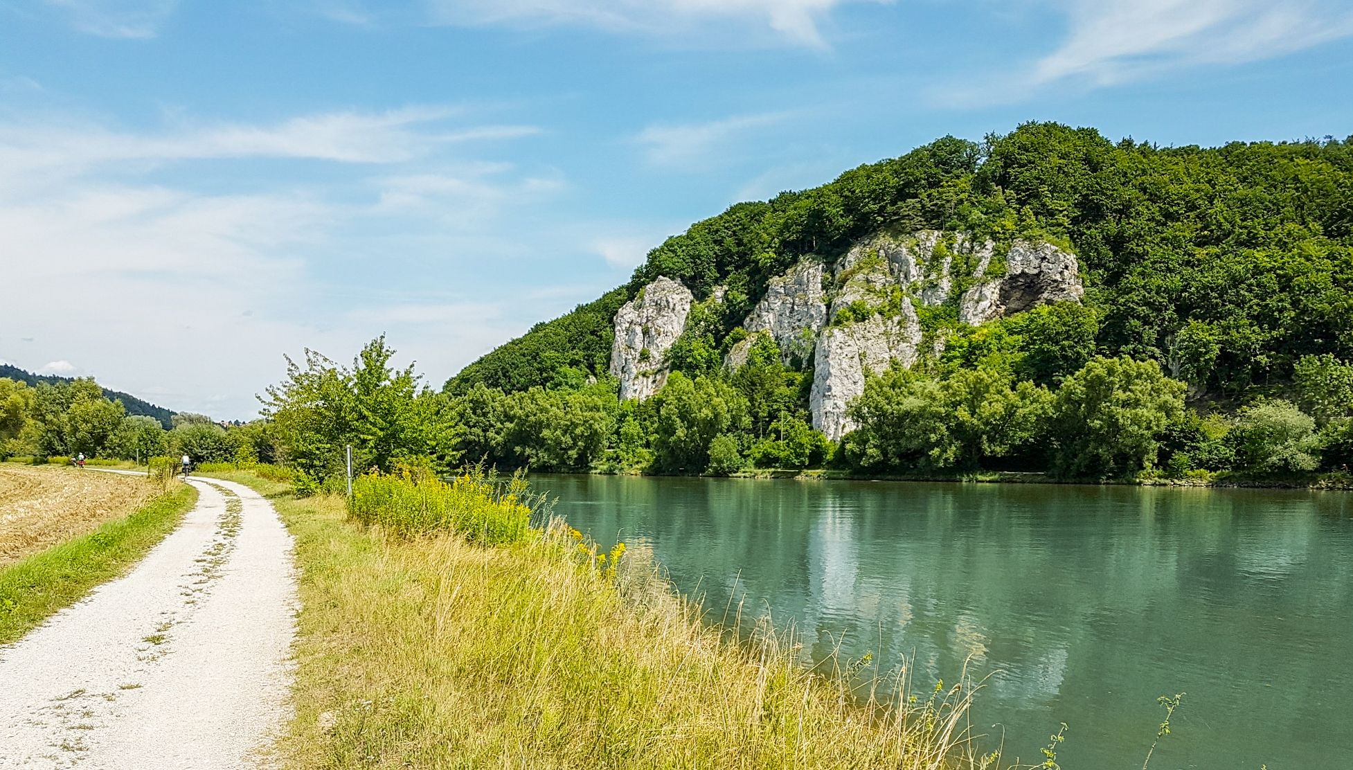
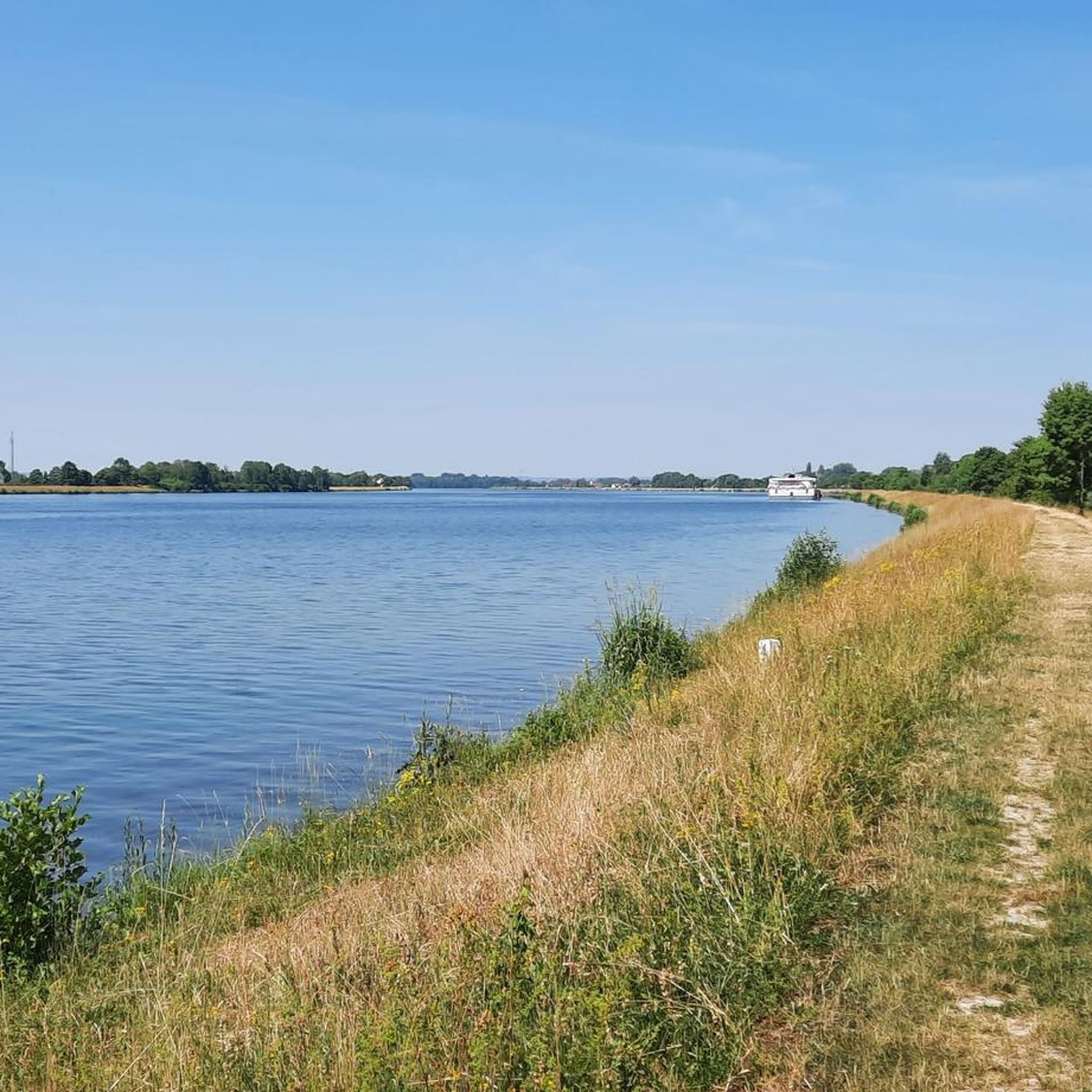
Hiking around Bach an der Donau offers routes along the Danube River and into the surrounding forested hills. The landscape is characterized by the river valley, gentle elevations, and a mix of open fields and woodlands. This region provides varied terrain suitable for different hiking preferences.
Best hiking trails around Bach an der Donau
- The most popular hiking route is Fürstlicher Thiergarten Pond – Forest Chapel Sulzbach loop from Bach an der Donau, a 8.5 miles (13.6 km) trail…
Last updated: May 14, 2026
4.6
(10)
36
hikers
Moderate hike. Good fitness required. Easily-accessible paths. Suitable for all skill levels.
5.0
(4)
30
hikers
12.4km
03:28
240m
240m
Moderate hike. Good fitness required. Easily-accessible paths. Suitable for all skill levels.

Sign up for free
5.0
(4)
20
hikers
11.3km
03:10
220m
220m
Moderate hike. Good fitness required. Easily-accessible paths. Suitable for all skill levels.
4.3
(3)
26
hikers
Moderate hike. Good fitness required. Easily-accessible paths. Suitable for all skill levels.
4.5
(2)
14
hikers
14.8km
04:08
300m
300m
Moderate hike. Good fitness required. Easily-accessible paths. Suitable for all skill levels.
Get access to more routes and recommendations from other explorers.
Sign up for free
Already have an account?
Our route recommendations are based on thousands of hikes, rides, and runs completed by other people on komoot.
Start today with a free account
Your next adventure awaits.
Login or Signup
Popular around Bach an der Donau
Other adventures around Bach an der Donau

Tips from the Community

Catholic Parish Church of the Nativity of Mary, hall building with recessed choir and choir tower (1712). Nave from 1979.
0
0

The small waterfall opposite the Hammermühle inn is a great photo opportunity. The beer garden is right next to it. Here you can enjoy food and drink and be enchanted by the sound of the water
0
1
Great trails and great scenery
0
0

The chapel can be found at the end of the Way of the Cross, which leads up from Sulzbach
1
1

Small waterfall on the way
0
1
Beautiful forest chapel on the way
0
1

Very good traditional Bavarian cuisine! Reservations recommended! ⭐️😀🍀
5
0

Memorial stone for Franz Josef Strauss In the Princely Thiergarten, the CSU Regensburg-Land district association had a memorial stele erected on the initiative of Chairman MP Peter Aumer to mark the 30th anniversary of Franz Josef Strauss' death. The stele commemorates the place where the Prime Minister of Bavaria collapsed unconscious after a heart attack and died shortly afterwards. On Saturday, October 6th, 2018, Monika Hohlmeier, the daughter of Franz Josef Strauss, unveiled this monument. Princess Gloria von Thurn und Taxis and Minister of State Albert Füracker were also present. The life motto of Franz Josef Strauss is engraved into the granite stele, which weighs 900 kilograms: “Gratefully backwards, courageously forwards, faithfully upwards.”
2
0
Frequently Asked Questions
How many hiking trails are there in Bach an der Donau?
There are over 50 hiking routes available around Bach an der Donau, offering a variety of experiences from riverside paths to forested hills.
Are there easy hiking trails suitable for beginners or families?
Yes, Bach an der Donau offers several easy trails perfect for beginners and families. There are 19 easy routes, often featuring gentle terrain along the Danube River or through open fields. For a moderate family-friendly option, consider the Fürstlicher Thiergarten Pond – Franz Josef Strauß Memorial loop from Bach an der Donau, which is just under 10 km.
Are dogs allowed on the hiking trails in Bach an der Donau?
Generally, dogs are welcome on hiking trails in Bach an der Donau. It's always recommended to keep them on a leash, especially in nature reserves, near livestock, or in crowded areas, and to clean up after them. Most trails pass through natural landscapes suitable for walks with your canine companion.
What is the typical duration for hikes in Bach an der Donau?
Hike durations vary widely. Many popular routes, like the Fürstlicher Thiergarten Pond – Forest Chapel Sulzbach loop, take around 3.5 hours. Shorter, easier walks can be completed in 1-2 hours, while more challenging routes might take 4 hours or more, depending on your pace and the trail's length and elevation.
Are most hiking trails circular routes?
Many of the hiking trails around Bach an der Donau are designed as circular routes, allowing you to start and end at the same point without needing to retrace your steps. This is convenient for those traveling by car. Examples include the Forsthaus Steinbuckl – Old Industrial Machine loop and the Bach an der Donau – Historic Schmuckstein Mine loop.
What can I see along the hiking trails?
The trails offer a mix of natural beauty and points of interest. You'll encounter the Danube River, forested hills, and open agricultural landscapes. Some routes pass by historical sites, while others offer views of nearby lakes. For example, you might get a View of Walhalla from the Danube Bridge or pass by the Guggenberger Lake.
Is parking available at the trailheads?
Yes, parking is generally available at or near the starting points of many popular hiking trails in Bach an der Donau. Specific parking information can often be found on individual route descriptions on komoot, or by checking local signage upon arrival.
Can I reach hiking trails by public transport?
While some trails might be accessible via local bus services, public transport options can be limited in more rural areas around Bach an der Donau. It's advisable to check local bus schedules and routes in advance if you plan to rely on public transport to reach specific trailheads.
What is the best time of year for hiking in Bach an der Donau?
The best time for hiking in Bach an der Donau is typically from spring to autumn (April to October). During these months, the weather is generally mild and pleasant, and the landscapes are vibrant. Spring brings blooming flora, while autumn offers beautiful fall colors in the forests. Summer is also popular, but can be warmer.
Are there more challenging hikes for experienced hikers?
Yes, for experienced hikers seeking more challenge, there are 8 difficult routes available. These trails often feature greater elevation changes and longer distances, leading through the more rugged parts of the forested hills surrounding Bach an der Donau. An example of a moderate route with significant elevation is the Bach an der Donau – Historic Schmuckstein Mine loop.
Are there opportunities for wild swimming near the hiking routes?
While the Danube River is prominent, direct wild swimming opportunities along hiking routes might be limited due to currents or regulations. However, there are several lakes in the vicinity, such as Guggenberger Lake or Silberweiher, which are popular for swimming and recreation and can be combined with a hike.
What do other hikers enjoy the most about hiking in Bach an der Donau?
The area is highly rated by the komoot community, with an average score of 4.7 stars from over 90 reviews. Reviewers often praise the varied landscapes, including the peaceful riverside paths and the tranquil forested sections, as well as the well-maintained trails that offer a pleasant outdoor experience.
Most popular routes around Bach an der Donau
Most popular attractions around Bach an der Donau

Get inspired with the komoot mobile app


Explore more
Browse the best Hikes in other regions.
