The best MTB trails around Saint-Cyr-En-Pail
3.9
(19)
278
riders
18
rides
Mountain biking around Saint-Cyr-En-Pail offers diverse terrain within the Normandy-Maine Regional Natural Park. The area features a varied natural environment, including the Corniche de Pail with its scenic routes and the Multonne Forest, known for its biodiversity. Riders can expect trails with elevation changes, leading through forests and offering views of the surrounding landscape. The region's topography provides a mix of dirt roads and sunken paths suitable for mountain biking.
Best mountain bike trails around Saint-Cyr-En-Pail
- The most popular mountain…
Last updated: May 23, 2026
45
riders
Hard mountain bike ride. Very good fitness required. Advanced riding skills necessary.
4.0
(1)
29
riders
Moderate mountain bike ride. Good fitness required. Suitable for all skill levels.

Sign up for free
4.0
(1)
27
riders
Moderate mountain bike ride. Good fitness required. Suitable for all skill levels.
15
riders
40.8km
03:21
560m
560m
Moderate mountain bike ride. Good fitness required. Advanced riding skills necessary.
13
riders
24.4km
02:01
350m
350m
Moderate mountain bike ride. Good fitness required. Suitable for all skill levels.
Get access to more routes and recommendations from other explorers.
Sign up for free
Already have an account?
Our route recommendations are based on thousands of hikes, rides, and runs completed by other people on komoot.
Start today with a free account
Your next adventure awaits.
Login or Signup




Tips from the Community

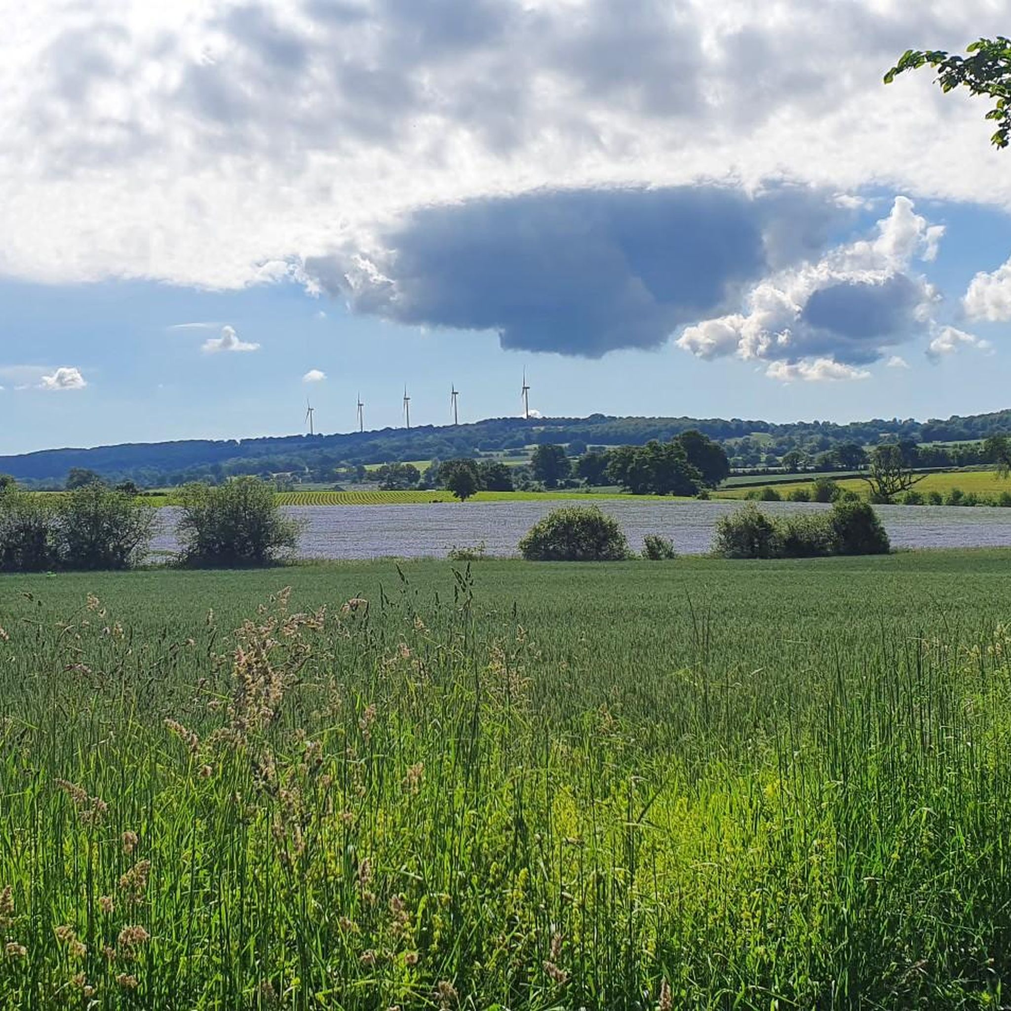
A truly magnificent landscape
0
0

Riding up there by bike was quite strenuous, but the view from the top was worth the effort. It was well worth it.
0
0

Beautiful 360 degree view
1
0

peaceful to take a break
0
0
rock in the middle and end of the descent, be careful ⚠️ not to go too fast
0
0
you have to make an effort to see this! but woo top
0
0

Located in Mayenne, Mont des Avaloirs is the highest point of the Armorican massif. It is part of the Normandy-Maine Regional Natural Park and enjoys the status of a Global Geopark. The belvedere, built in 1994 and covered with a magnificent colorful fresco, painted in 2019 by the Franco-British artist Seb Toussaint. It offers a 360° view of all the surrounding forests and peaks.
0
0
Frequently Asked Questions
What kind of terrain can I expect on mountain bike trails around Saint-Cyr-En-Pail?
The region offers diverse terrain, primarily within the Normandie-Maine Regional Natural Park. You'll encounter a mix of dirt roads and sunken paths, especially on routes like the "Grande Boucle de St-Cyr-en-Pail". The Multonne Forest contributes significantly with varied landscapes, including challenging sections and considerable elevation changes.
Are there mountain bike trails suitable for beginners or advanced riders?
The mountain bike trails around Saint-Cyr-En-Pail are predominantly rated as moderate, offering a good balance for riders with some experience. While there are no routes specifically categorized as easy or difficult in the guide data, the moderate trails often feature significant elevation gains and technical passages, catering to those looking for a challenge without being expert-level.
What natural features or landmarks can I see while mountain biking in the area?
Many routes incorporate the region's notable natural features. You can experience stunning panoramic views from the Mont des Avaloirs viewpoint, the highest point in western France, or ride along the scenic Corniche de Pail. The Multonne Forest is also a prominent feature, offering a rich environment for exploration. Some trails may also pass near the unique Villiers Gorges.
Are there any circular mountain bike routes available?
Yes, many of the mountain bike routes in the area are circular. For example, you can try the House of the Courtemiche Maquis – Mont des Avaloirs viewpoint loop from Saint-Samson, which is a 43.6 km moderate trail. Another option is the Pearl Pond loop from Les Perles, a shorter 24.2 km ride.
What is the best time of year for mountain biking around Saint-Cyr-En-Pail?
The region is suitable for mountain biking throughout much of the year. Spring and autumn generally offer pleasant temperatures and vibrant scenery, making them ideal. Summer can also be great, especially in the shaded forest sections. Always check local weather conditions before heading out, as some trails might be muddy after heavy rain.
Are there any family-friendly mountain bike trails?
While all routes in this guide are rated moderate, some shorter, less technical sections within the Multonne Forest might be suitable for families with older children who have some mountain biking experience. For a moderate family outing, consider the Pearl Pond loop from Villaines-la-Juhel, which is 20.5 km long with manageable elevation.
What do other mountain bikers say about the trails in Saint-Cyr-En-Pail?
The mountain bike trails around Saint-Cyr-En-Pail are highly regarded by the komoot community, with an average rating of 3.9 stars from over 25 reviews. Riders often praise the diverse landscapes, the challenging elevation changes, and the opportunity to explore the natural beauty of the Normandie-Maine Regional Natural Park.
Are there any historical sites or points of interest near the mountain bike routes?
Yes, the region has several points of interest. You might pass by the Saint Anthony Chapel or the Petit Jard Castle. These sites offer a glimpse into the local heritage and can be interesting stops during your ride.
Where can I find parking for mountain biking in Saint-Cyr-En-Pail?
Many routes start from villages or natural areas where parking is typically available. For instance, routes like the Mont des Avaloirs viewpoint – Corniche of Pail loop often begin near designated parking areas at natural reserves or viewpoints, such as the Réserve naturelle du mont des Avaloirs. It's advisable to check the specific route details for recommended starting points and parking information.
How long are the mountain bike trails in this area?
The mountain bike trails around Saint-Cyr-En-Pail vary in length. You can find routes ranging from approximately 20 km to over 40 km. For example, the Alpes mancelle viewpoint st léonard des bois – Saint-Léonard-des-Bois loop is about 43.7 km, while the Mont des Avaloirs viewpoint – Corniche of Pail loop is around 25.2 km.
What is the typical elevation gain on mountain bike trails here?
The trails in Saint-Cyr-En-Pail feature considerable elevation changes, contributing to their moderate difficulty. You can expect elevation gains ranging from around 300 meters to over 700 meters on a single route. For instance, the Alpes mancelle viewpoint st léonard des bois – Saint-Léonard-des-Bois loop has an elevation gain of approximately 725 meters.
Most popular routes around Saint-Cyr-En-Pail
Most popular attractions around Saint-Cyr-En-Pail

Get inspired with the komoot mobile app


Explore more
Browse the best MTB trails in other regions.
