The best walks and hikes around Lauterburg
4.5
(2598)
12,456
hikers
653
hikes
Hiking around Lauterburg offers routes through the flat Rhine meadows and along the Old Rhine. The landscape is characterized by riverine environments, open fields, and areas of gentle elevation. This region provides accessible trails suitable for various hiking preferences.
Best hiking trails around Lauterburg
- The most popular hiking route is Along the Old Rhine – Concrete bridge in the Rhine meadows loop from Auer Köpfle - Illinger Altrhein - Motherner Wörth, a 4.3 miles (7.0 km) trail that takes…
Last updated: September 28, 2026
4.5
(24)
81
hikers
Easy hike. Great for any fitness level. Easily-accessible paths. Suitable for all skill levels.
5.0
(6)
60
hikers
Easy hike. Great for any fitness level. Easily-accessible paths. Suitable for all skill levels.

4.3
(13)
47
hikers
8.55km
02:11
30m
30m
Moderate hike. Good fitness required. Easily-accessible paths. Suitable for all skill levels.
4.6
(8)
26
hikers
Easy hike. Great for any fitness level. Easily-accessible paths. Suitable for all skill levels.
4.6
(5)
32
hikers
Easy hike. Great for any fitness level. Easily-accessible paths. Suitable for all skill levels.
Get access to more routes and recommendations from other explorers.
Already have an account?
Our route recommendations are based on thousands of hikes, rides, and runs completed by other people on komoot.
Start today with a free account
Your next adventure awaits.
Tips from the Community

Lac des Mouttes offers a sandy beach over 500m long. The water quality is excellent. This beach is a real gem for water sports enthusiasts. You can enjoy paddling, kayaking, windsurfing, or sailing. There is also a snack bar. However, dogs are not allowed. Large free parking spaces are available for day-trippers outside the fenced area.
6
0
The Lauterbourg Town Hall serves a community of about 2350 inhabitants. It is the French side and the name comes from the river Lauter. The northernmost part of the town politically belongs as Neulauterburg to the German municipality of Berg (Pfalz).
6
0
The Metzgerturm was built under Jaiser Otto III as the first fortification of the city of Lauterburg. The Metzgerturm was also called Gabrielsturm because a condemned man named Gabriel once managed to escape from it. The tower served as a citizens' prison until the year 1761.
7
0

Nice that this isn't forgotten.
0
1

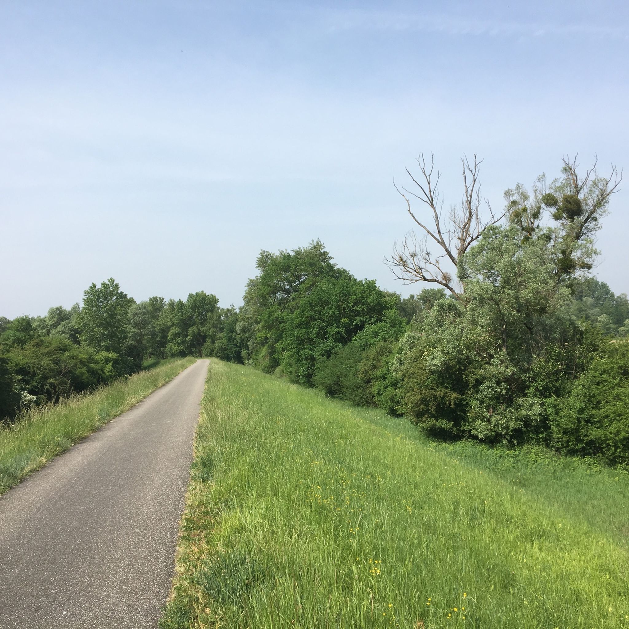
Wonderful old trees on the Old Rhine
5
0
Nice little trail along the Illinger Altrhein. Quite overgrown in summer.
6
0
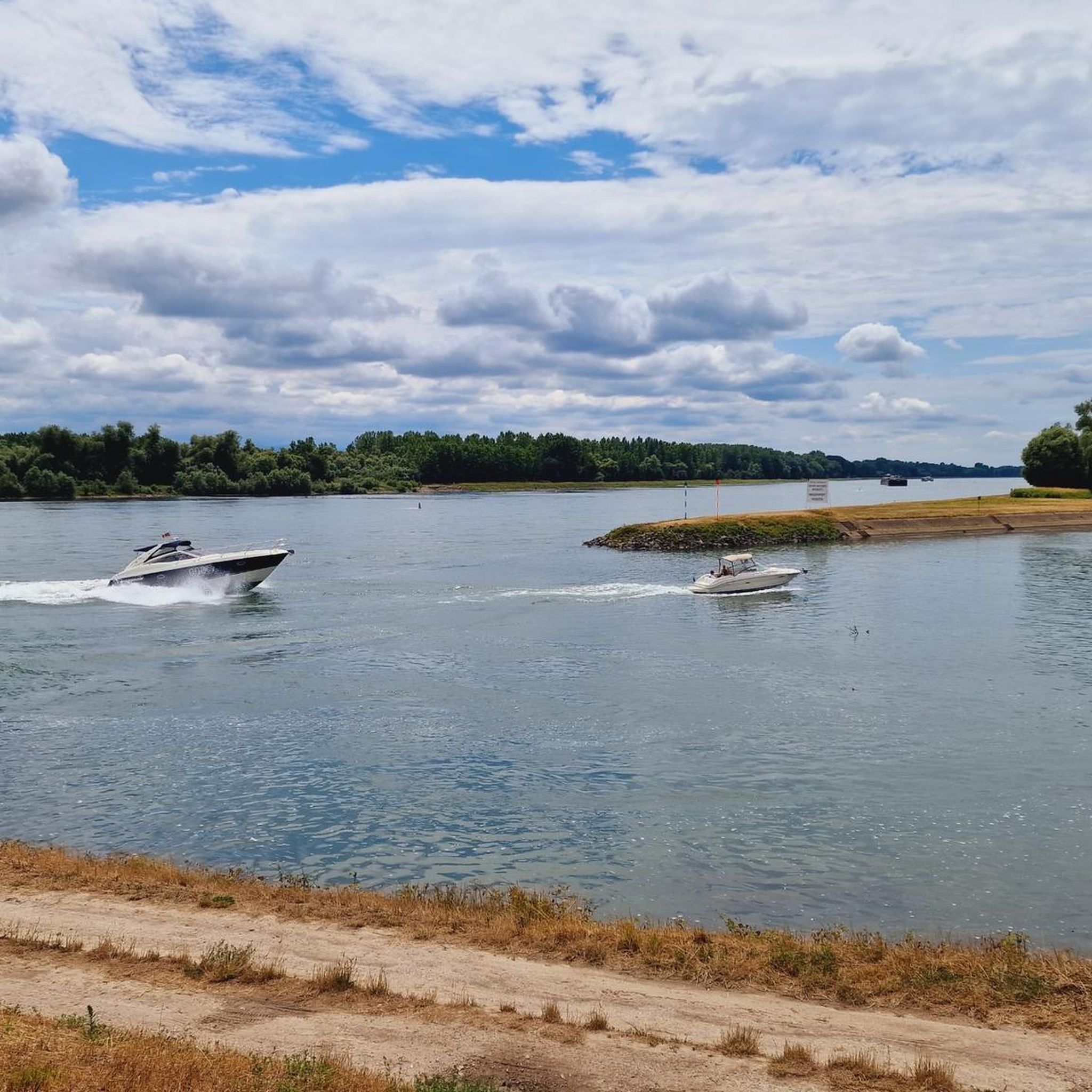
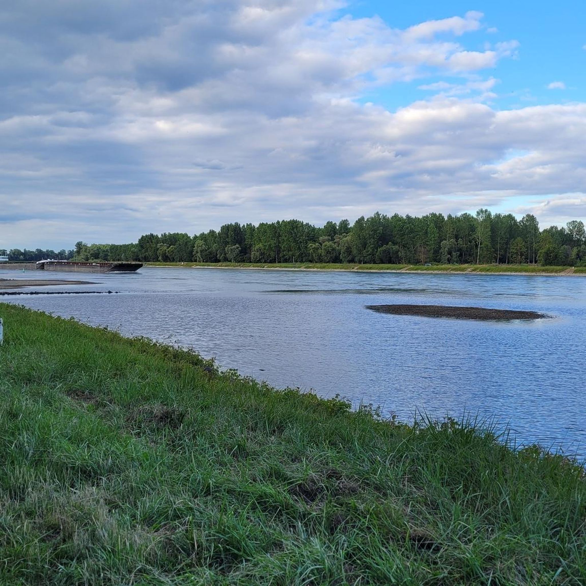
View over the Tomateninseln to the French side towards Lauterbourg.
6
0
Frequently Asked Questions
How many hiking trails are available around Lauterburg?
Lauterburg offers a wide variety of hiking experiences, with over 600 routes available. The majority of these, around 470, are classified as easy, making the region very accessible for different skill levels.
Are there easy hiking trails suitable for families in Lauterburg?
Yes, Lauterburg is ideal for family-friendly hikes. The region's landscape, characterized by flat Rhine meadows and gentle elevations, provides numerous easy trails. Many routes follow the Old Rhine, offering pleasant, accessible walks. For example, the Concrete bridge in the Rhine meadows – View of the Rhine loop from Auer Köpfle is an easy 4.7 km path perfect for a family outing.
Are there any challenging hiking routes in Lauterburg?
While Lauterburg is known for its gentle terrain, there are a few routes that offer a bit more challenge. The region has 8 routes classified as difficult, and 138 as moderate. These routes might feature slightly longer distances or more varied terrain compared to the predominantly flat paths along the river.
What kind of scenic viewpoints can I expect on hikes around Lauterburg?
Hikes around Lauterburg often provide picturesque views of the Rhine and its surrounding meadows. You can find specific viewpoints like the Observation Deck at Fermasee, offering serene perspectives of the water and natural landscape. Many trails along the Old Rhine also provide expansive views of the riverine environment.
Are there circular walks available near Lauterburg?
Yes, Lauterburg features many circular walks, allowing you to start and end your hike at the same point. A popular option is the Lac des Mouettes – Municipal Seagulls Campsite loop from Lauterbourg, an easy 5.9 km trail that takes you around the lake and through the local area.
What are some interesting landmarks or natural attractions to see near the hiking trails?
Beyond the trails themselves, Lauterburg's surroundings offer several points of interest. You can explore natural monuments like the Bismarck Oak or the Altrhein Maxau Nature Reserve. The German-French Border at the Alte Lauter is also a notable spot, highlighting the region's unique geography.
Is Lauterburg a good destination for dog-friendly walks?
The open fields and river paths around Lauterburg are generally very suitable for walks with dogs. Many of the easy, flat trails along the Old Rhine provide ample space for pets to enjoy the outdoors. Always remember to keep your dog on a leash where required and clean up after them.
What is the best time of year for hiking in Lauterburg?
The best time for hiking in Lauterburg is typically from spring through autumn, when the weather is mild and the natural landscape is vibrant. The flat terrain also makes it suitable for pleasant walks during cooler months, though some paths might be muddy after rain. Winter hiking is possible, but prepare for colder temperatures and potentially damp conditions.
Are there less crowded hiking trails around Lauterburg?
While some popular routes might see more visitors, Lauterburg's extensive network of over 600 trails means it's usually possible to find quieter paths. Exploring some of the less-trafficked loops through the Rhine meadows or slightly away from the main riverbanks can offer a more solitary experience.
What should I wear for hiking in Lauterburg?
Given the varied weather conditions, it's advisable to wear comfortable, layered clothing suitable for the season. Sturdy, waterproof hiking shoes are recommended, especially for trails near the river or after rain. Bringing a light rain jacket and sun protection is also wise, as the open meadows offer little shade.
How can I get to the Lauterburg hiking trails by public transport?
Lauterburg is accessible by public transport, with train connections to the town. From the town center, many hiking trails are within walking distance, including the Place du château épiscopal – Lauterbourg Town Hall loop. It's always best to check local bus schedules for connections to trailheads further afield.
Is parking available at the trailheads in Lauterburg?
Yes, parking is generally available at various starting points for hikes around Lauterburg, especially in and around the town and at popular recreational areas along the Rhine. Specific parking information can often be found on individual route descriptions on komoot.
Most popular routes around Lauterburg
Most popular attractions around Lauterburg

Get inspired with the komoot mobile app


Explore more
Browse the best Hikes in other regions.
