The best running trails around Saint-André-De-Rosans
4.0
(2)
66
runners
27
runs
Jogging routes Saint-André-De-Rosans are set within the Hautes-Alpes department of southeastern France, characterized by its mountainous terrain and diverse natural features. The region offers a variety of running experiences, from challenging ascents over mountain passes to routes through forests and along river valleys. Key features include the Col de Perty and Col de Saint-Jean, providing elevation for runners, alongside numerous streams and wooded areas. This landscape provides varied terrain for running, including both moderate and difficult trails.
Best jogging routes…
Last updated: September 29, 2026
15
runners
9.93km
01:38
620m
620m
Hard run. Very good fitness required. Mostly paved surfaces. Suitable for all skill levels.
12
runners
20.2km
03:24
1,280m
1,270m
Hard run. Very good fitness required. Mostly paved surfaces. Suitable for all skill levels.

8
runners
38.4km
05:13
1,320m
1,310m
Hard run. Very good fitness required. Mostly paved surfaces. Suitable for all skill levels.
4
runners
12.2km
01:18
210m
210m
Moderate run. Good fitness required. Mostly paved surfaces. Suitable for all skill levels.
3
runners
11.6km
01:19
170m
170m
Moderate run. Good fitness required. Mostly paved surfaces. Suitable for all skill levels.
Get access to more routes and recommendations from other explorers.
Already have an account?
Our route recommendations are based on thousands of hikes, rides, and runs completed by other people on komoot.
Start today with a free account
Your next adventure awaits.
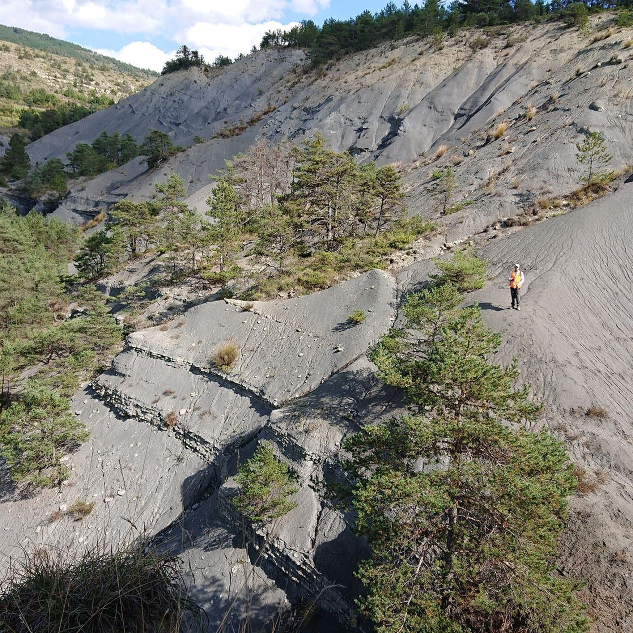
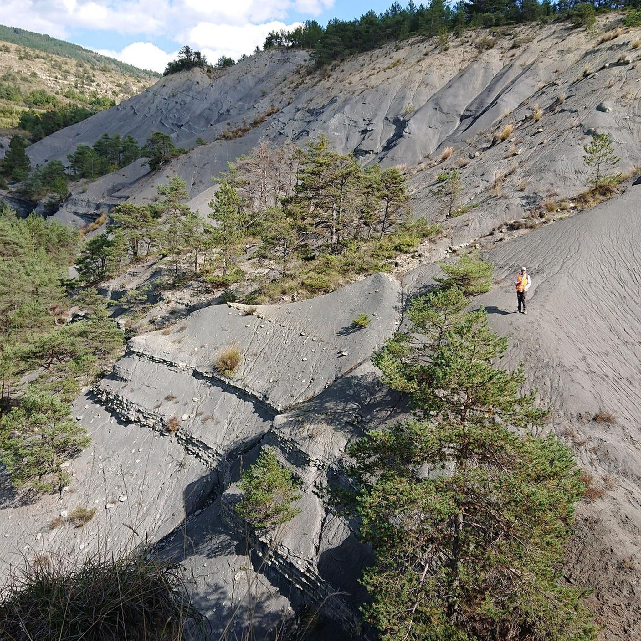
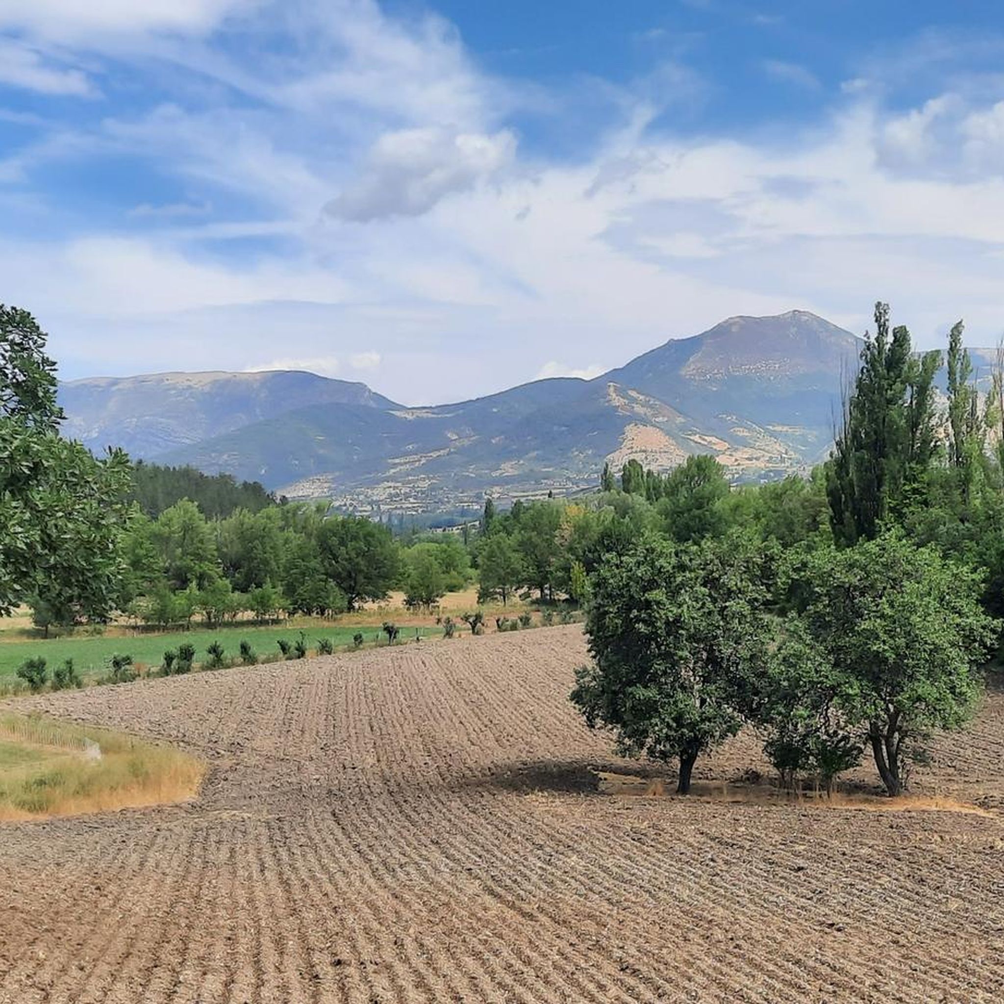
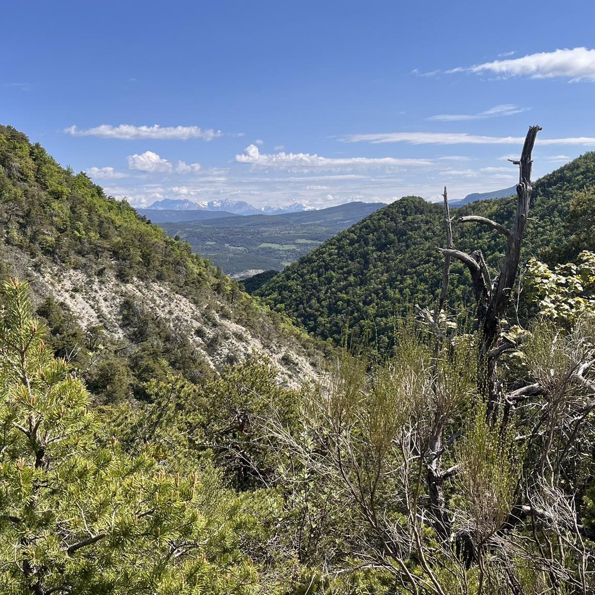
Tips from the Community

The ascent to Col de la Fromagère / Col de Pommerol from Rosans is located in the Hautes-Alpes region. This ascent is 6.6 km long, with a total elevation gain of 371 m. The average gradient of the ascent to Col de la Fromagère / Col de Pommerol from Rosans is 5.6%.
6
0
Very easy climb, the gradients never exceed 6%.
4
0
Col de Perty is located in the Baronnies Provençales massif, in the Drôme department, in the Auvergne-Rhône-Alpes region, in the southeast of France. It reaches an altitude of 1,302 m and connects the Ouvèze valley with the Orpierre area, in the Hautes-Alpes.
14
0

bring good shoes and a windbreaker at the top
0
0

Magnificent panorama. Once at the top, it's not very difficult and very pleasant.
0
0
Magnificent region. I recommend the guest rooms at the Château de Rosans.
0
0
Frequently Asked Questions
How many running routes are available in Saint-André-De-Rosans?
There are over 20 running routes around Saint-André-De-Rosans, offering a diverse range of experiences for joggers. These include both moderate and difficult trails, allowing you to choose based on your fitness level and desired challenge.
What kind of terrain can I expect on the running trails around Saint-André-De-Rosans?
The region offers a varied landscape for running, characterized by mountainous terrain, scenic ridges, and tranquil river valleys. You'll find routes that traverse forests, pass through lavender fields, and include ascents over mountain passes like the Perty Pass, as well as paths along streams and rivers.
Are there running routes suitable for beginners or those looking for an easier jog?
Yes, while the region is known for its challenging mountain passes, there are also routes suitable for those seeking a more moderate experience. For example, the Montjay – Flachière Pass loop from Montjay is classified as moderate, offering a less strenuous option. The area generally provides a mix of trails, including some shorter loops with minimal elevation gain.
What are some of the more challenging running routes in the area?
For experienced runners seeking a challenge, Saint-André-De-Rosans offers several difficult routes. The Rosans – Montagne de Raton loop from Rosans is a difficult 12.6-mile path with substantial climbs, while the Perty Pass – Chamouse Mountain loop from Saint-Auban-sur-l'Ouvèze is an even longer 23.7-mile trail through mountain passes and ridges.
Are there any circular running routes in Saint-André-De-Rosans?
Yes, many of the running routes in the region are circular, allowing you to start and end at the same point. Examples include the popular Rosans – COL DE POMMEROL loop from Rosans and the challenging Montagne de Raton loop from Col de la Fromagère.
What can I see along the jogging routes around Saint-André-De-Rosans?
As you jog, you can enjoy panoramic views from mountain passes like Perty Pass and Saint-Jean Pass. The trails also lead through forests and past natural features such as the Eygues river and various streams. You might even spot historical sites like La Charce Castle near some routes.
What is the best season for running in Saint-André-De-Rosans?
The region is generally pleasant for running from spring through autumn, when the weather is milder and the natural landscapes, including lavender fields, are at their most vibrant. While specific winter conditions vary, some trails may be accessible, but it's always advisable to check local conditions and forecasts.
Are there any family-friendly running trails in the area?
While many routes involve significant elevation, the region does offer hiking paths that can be adapted for family jogs, especially those described as 'easy strolls' or shorter loops with minimal elevation gain. Look for trails that stick to riverbanks or flatter forest sections for a more family-friendly experience.
Are dogs allowed on the running trails?
Many trails in the Hautes-Alpes region are dog-friendly, especially those in natural areas. However, it's always recommended to keep your dog on a leash, particularly in protected areas or near livestock, and to check specific trail regulations before you go. Ensure your dog is fit for the chosen route's difficulty and length.
Where can I park when accessing running trails in Saint-André-De-Rosans?
Parking is generally available near trailheads, especially in and around villages like Rosans and Saint-Auban-sur-l'Ouvèze, which serve as starting points for many routes. Specific parking information can often be found on individual route descriptions on Komoot or local tourism websites.
What do other runners enjoy most about jogging in Saint-André-De-Rosans?
Runners frequently praise the diverse and visually rewarding jogging experiences in Saint-André-De-Rosans. The combination of challenging mountain passes, scenic ridges, and tranquil river valleys, along with well-established routes, makes it a popular destination. Over 60 runners have used Komoot to explore the varied terrain here, highlighting its appeal.
Are there any routes that offer particularly good viewpoints?
Absolutely. The region is renowned for its panoramic vistas. Routes that ascend mountain passes like the Col de Perty (1302 meters) or the Col de Saint-Jean (1159 meters) offer breathtaking views of the surrounding mountains, including Mont Ventoux. The Rosans – Montagne de Raton loop from Rosans also provides extensive views across the area.
Most popular routes around Saint-André-De-Rosans
Most popular attractions around Saint-André-De-Rosans

Get inspired with the komoot mobile app


Explore more
Browse the best Running Trails & Routes in other regions.
