Saint-André-De-Rosans
Saint-André-De-Rosans
The best walks and hikes around Saint-André-De-Rosans
4.4
(168)
825
hikers
69
hikes
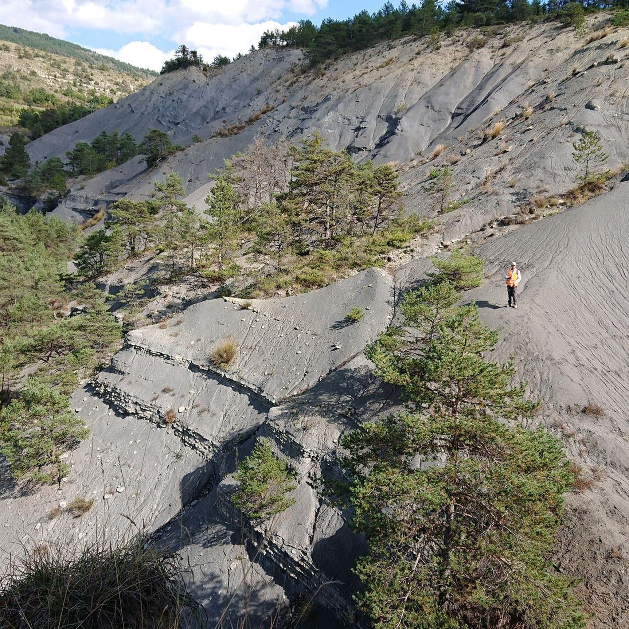
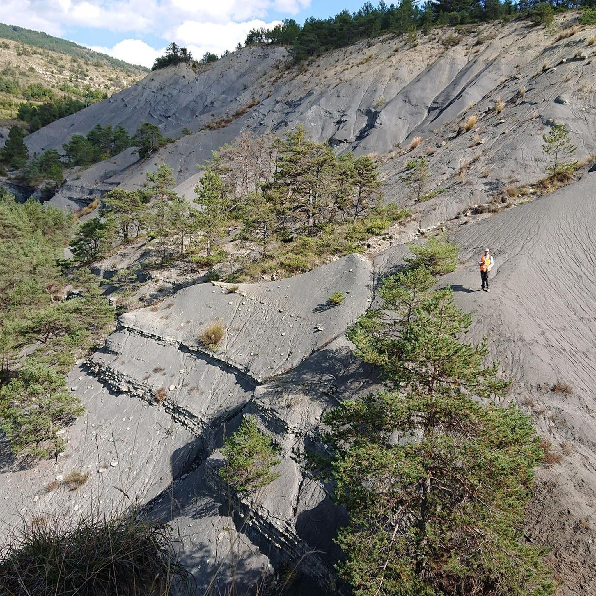
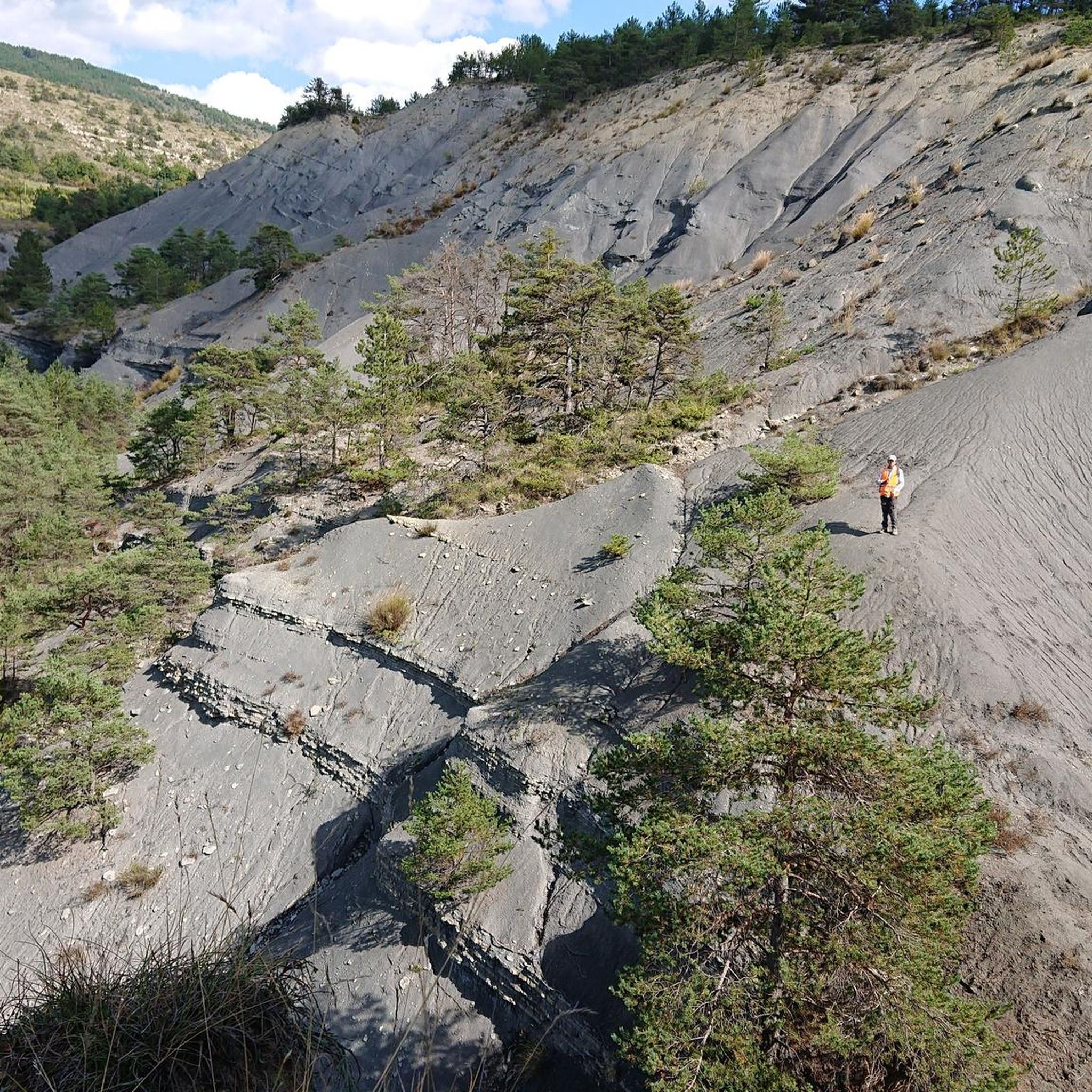
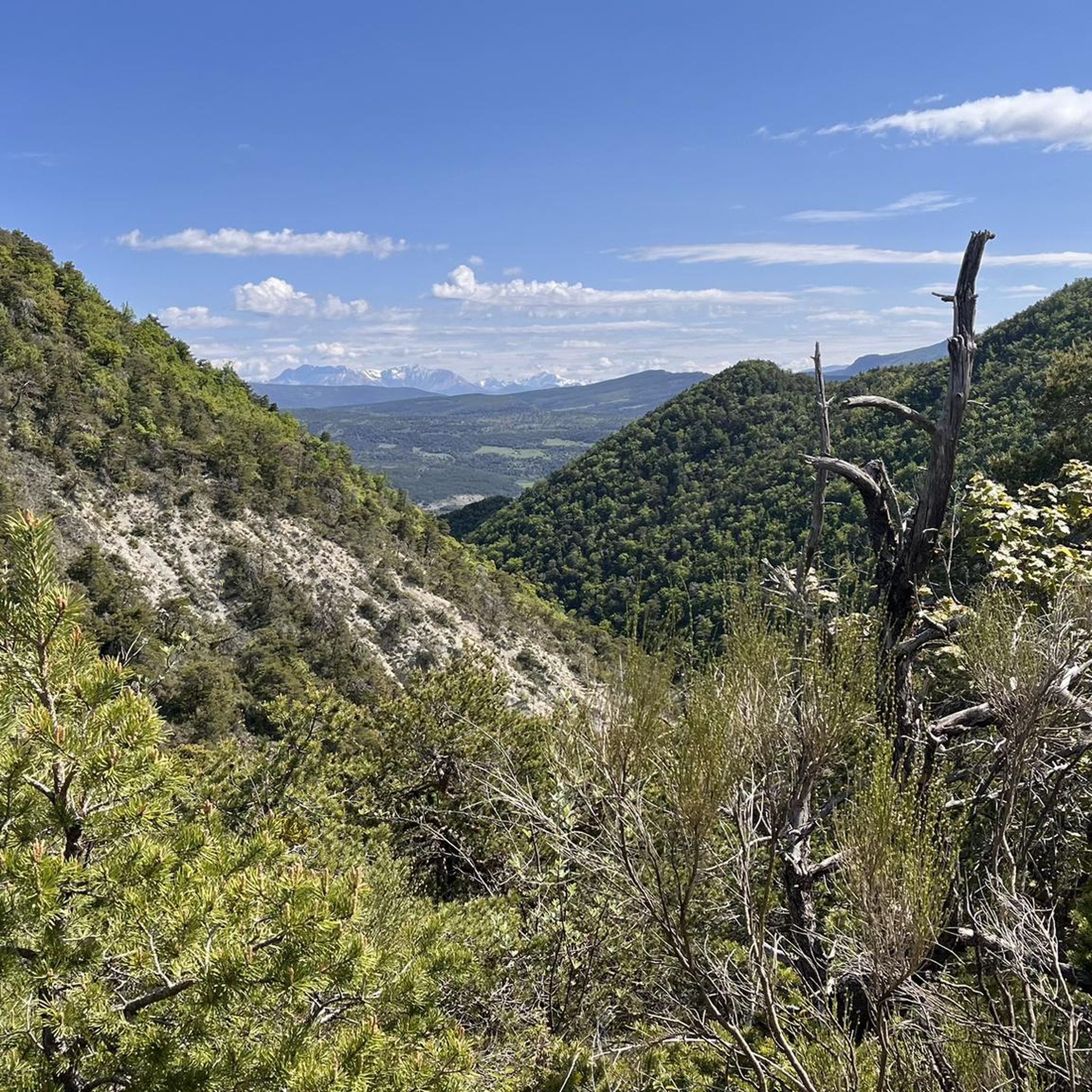
Hiking around Saint-André-De-Rosans offers varied terrain characterized by rolling hills, open landscapes, and occasional forested sections. The region features moderate elevation changes, providing panoramic viewpoints across the valleys and towards distant peaks. These natural features make Saint-André-De-Rosans a suitable location for diverse hiking experiences.
Best hiking trails around Saint-André-De-Rosans
- The most popular hiking route is Rosans – View of Rosans at Sunset loop from Rosans, a 4.5 miles (7.3 km) trail that takes 2 hours 21 minutes to complete,…
Last updated: September 28, 2026
4.6
(14)
37
hikers
7.31km
02:22
330m
340m
Moderate hike. Good fitness required. Easily-accessible paths. Suitable for all skill levels.
5.0
(5)
22
hikers
6.17km
02:08
310m
310m
Moderate hike. Good fitness required. Easily-accessible paths. Suitable for all skill levels.

5.0
(2)
22
hikers
13.4km
04:31
640m
640m
Moderate hike. Good fitness required. Easily-accessible paths. Suitable for all skill levels.
4.9
(7)
25
hikers
7.04km
02:04
200m
200m
Moderate hike. Good fitness required. Easily-accessible paths. Suitable for all skill levels.
7
hikers
20.0km
06:58
1,020m
1,020m
Hard hike. Very good fitness required. Easily-accessible paths. Suitable for all skill levels.
Get access to more routes and recommendations from other explorers.
Already have an account?
Our route recommendations are based on thousands of hikes, rides, and runs completed by other people on komoot.
Start today with a free account
Your next adventure awaits.
Tips from the Community

The ascent to Col de la Fromagère / Col de Pommerol from Rosans is located in the Hautes-Alpes region. This ascent is 6.6 km long, with a total elevation gain of 371 m. The average gradient of the ascent to Col de la Fromagère / Col de Pommerol from Rosans is 5.6%.
6
0
Very pretty small town.
5
0
Very pretty little village.
2
0

bring good shoes and a windbreaker at the top
0
0

Exceptional 360° panorama.
0
0
Magnificent panorama. Once at the top, it's not very difficult and very pleasant.
0
0
Frequently Asked Questions
How many hiking trails are available in Saint-André-De-Rosans?
There are nearly 70 hiking trails around Saint-André-De-Rosans, offering a diverse range of experiences. These include 12 easy routes, 46 moderate trails, and 11 more challenging options for experienced hikers.
Are there any easy or beginner-friendly hikes in the area?
Yes, Saint-André-De-Rosans offers 12 easy hiking routes suitable for beginners or those looking for a relaxed walk. These trails typically feature gentle terrain and shorter distances, perfect for a leisurely exploration of the local landscape.
What kind of terrain can I expect on hikes around Saint-André-De-Rosans?
The terrain around Saint-André-De-Rosans is varied, characterized by rolling hills, open landscapes, and occasional forested sections. You'll encounter moderate elevation changes, providing panoramic viewpoints across valleys and towards distant peaks. The routes often combine paths through fields, along riverbanks, and up to higher ground.
Are there any circular walks or loop trails available?
Many of the trails in Saint-André-De-Rosans are circular, allowing you to start and end your hike in the same location. For example, the Saint-André-de-Rosans loop from Saint-André-de-Rosans is a moderate 7.4 km route that offers a great overview of the local scenery.
What are some notable viewpoints or scenic spots along the trails?
The region is known for its panoramic vistas. Trails like the Rosans – Panorama Rosans loop from Rosans offer expansive views of the surrounding landscape. You can also find excellent viewpoints from various mountain passes and peaks in the vicinity, such as the Perty Pass or the Montagne de Raton.
What do other hikers say about the trails in Saint-André-De-Rosans?
The hiking trails in Saint-André-De-Rosans are highly rated by the komoot community, with an average score of 4.6 stars from over 140 reviews. Hikers frequently praise the diverse scenery, the well-maintained paths, and the sense of tranquility found on these routes.
Are there any specific attractions or landmarks to see while hiking?
Yes, the area around Saint-André-De-Rosans features several interesting natural landmarks. You can explore various mountain passes like the Col de Soubeyrand (994 m) or the Col des Tourette (1126 m). There are also prominent peaks such as Chamouse Mountain and Le Duffre (Montagne de l'Aup), offering great destinations for a hike.
Is Saint-André-De-Rosans suitable for family hikes?
Yes, with 12 easy routes and many moderate trails, Saint-André-De-Rosans offers good options for families. Shorter, less strenuous loops are ideal for children, allowing them to enjoy the natural surroundings without excessive challenge. Look for trails with minimal elevation gain and clear paths.
Can I bring my dog on the hiking trails?
Generally, dogs are welcome on most hiking trails in the Saint-André-De-Rosans region, provided they are kept under control, especially when passing through agricultural areas or near livestock. It's always advisable to check specific trail regulations or local signage, and to carry water for your pet.
What is the best time of year to go hiking in Saint-André-De-Rosans?
The best time for hiking in Saint-André-De-Rosans is typically from spring to autumn (April to October). During these months, the weather is generally mild and pleasant, with blooming wildflowers in spring and vibrant foliage in autumn. Summers are warm, making early mornings or late afternoons ideal for longer hikes.
Are there any options for longer, more challenging hikes?
For those seeking a greater challenge, Saint-André-De-Rosans offers 11 difficult routes. An example is the Rosans – Montagne de Raton loop from Rosans, a demanding 19.7 km trail with over 1000 meters of elevation gain, typically taking nearly 7 hours to complete.
Is there public transport available to access the trailheads?
Public transport options directly to all trailheads in Saint-André-De-Rosans can be limited, as is common in many rural French regions. It is often recommended to have a car for convenient access to the various starting points. Some local bus services might connect larger villages, but schedules can be infrequent.
Where can I find parking for hiking trails in Saint-André-De-Rosans?
Parking is generally available in the villages and towns that serve as starting points for hikes, such as Rosans or Saint-André-De-Rosans itself. Look for designated parking areas near the village centers or trailheads. These are usually free, but it's always good practice to arrive early during peak season to secure a spot.
Most popular routes around Saint-André-De-Rosans
Most popular attractions around Saint-André-De-Rosans

Get inspired with the komoot mobile app


Explore more
Browse the best Hikes in other regions.
