The best mountain hikes in Obwalden
4.8
(80)
874
hikers
36
hikes
Mountaineering routes in Obwalden traverse diverse alpine landscapes, characterized by rugged, glaciated peaks of the Northern Uri Alps and extensive trail networks. The canton features majestic mountains like Titlis and Pilatus, alongside rolling pastures, dense forests, and significant moor landscapes. This varied topography offers a range of challenges for mountaineers, from high-altitude ascents to routes through pristine natural areas.
Best mountaineering routes in Obwalden
- The most popular mountaineering route is Rigidalstock Summit – Rigidalstockgrat Via Ferrata loop from Gross Walenstock…
Last updated: August 2, 2026
4.9
(19)
230
hikers
Hard mountaineering route. Good fitness required. Sure-footedness, sturdy shoes and alpine experience required.
5.0
(5)
88
hikers
7.10km
04:59
850m
850m
Hard mountaineering route. Good fitness required. Sure-footedness, sturdy shoes and alpine experience required.

Sign up for free
4.2
(6)
80
hikers
Hard mountaineering route. Very good fitness required. Mostly accessible paths. Sure-footedness required.
4.3
(4)
58
hikers
Hard mountaineering route. Very good fitness required. Mostly accessible paths. Sure-footedness required.
5.0
(3)
52
hikers
6.84km
04:27
760m
760m
Hard mountaineering route. Good fitness required. Sure-footedness, sturdy shoes and alpine experience required.
5.0
(3)
37
hikers
Hard mountaineering route. Very good fitness required. Sure-footedness, sturdy shoes and alpine experience required.
5.0
(5)
33
hikers
9.14km
03:45
540m
540m
Moderate mountaineering route. Good fitness required. Mostly accessible paths. Sure-footedness required.
5.0
(2)
34
hikers
Hard mountaineering route. Very good fitness required. Sure-footedness, sturdy shoes and alpine experience required.
5.0
(5)
21
hikers
11.6km
04:31
700m
700m
Hard mountaineering route. Good fitness required. Sure-footedness, sturdy shoes and alpine experience required.
5.0
(1)
18
hikers
14.7km
06:27
830m
830m
Hard mountaineering route. Very good fitness required. Sure-footedness, sturdy shoes and alpine experience required.
Get access to more routes and recommendations from other explorers.
Sign up for free
Already have an account?
Our route recommendations are based on thousands of hikes, rides, and runs completed by other people on komoot.
Start today with a free account
Your next adventure awaits.
Login or Signup
Popular around Obwalden
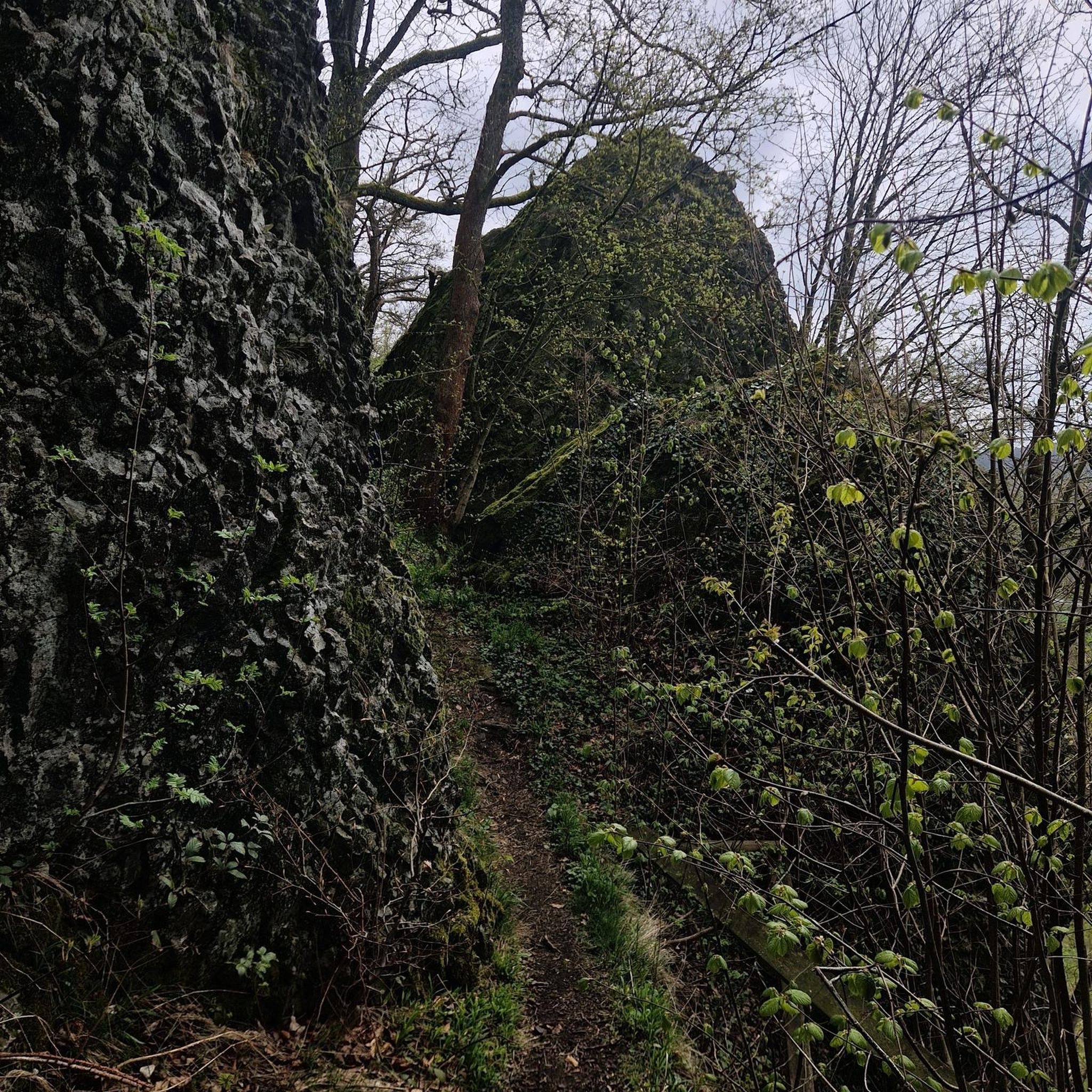







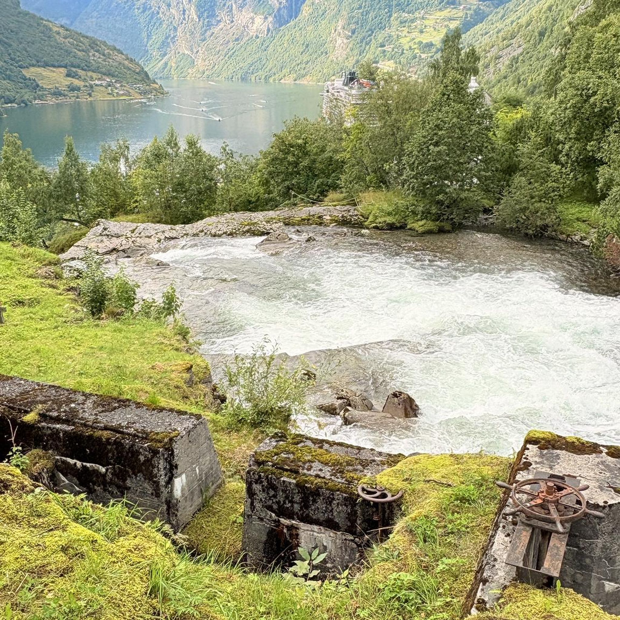
Other adventures in Obwalden


Tips from the Community

The Turrenbahn mountain station at 1,562 m is the perfect starting point for unforgettable adventures high above the turquoise-blue Lungerersee! 🚠✨ Whether you lace up your hiking boots or pack your MTB: Some of the region's most beautiful tours start from here, such as the panoramic trail up to Schönbüel or the spectacular ridge hike towards Brienzer Rothorn 🥾🚲 For the necessary refreshment, the Turren restaurant right at the station offers a brilliant sun terrace 🧀☕ Pro tip: Definitely take the first cable car in the morning – the light over the lake is magical and you'll have the paths almost to yourself! 📸🌄
0
0

Top view ☀️ when something fills up.
0
0

The Blausee enchants with its crystal-clear, turquoise-blue water and the impressive mountain backdrop. A beautiful spot for a short break and a real highlight on any MTB tour around Melchsee-Frutt.
0
0
From the panorama tower, an impressive panoramic view opens up over Lake Melch, Lake Tann and the surrounding peaks. The short detour is worth it – one of the most beautiful viewpoints around Melchsee-Frutt.
0
0

Frequently Asked Questions
How many mountaineering routes are available in Obwalden?
Obwalden offers a wide selection of mountaineering routes, with over 35 distinct tours available. These routes cater to various skill levels, ranging from moderate paths to challenging high-alpine ascents.
What is the best time of year for mountaineering in Obwalden?
Obwalden is suitable for outdoor activities throughout the year. For mountaineering, the warmer months from late spring to early autumn generally offer the most favorable conditions, with trails clear of snow. However, some areas transform into snow sports destinations in winter, offering different types of alpine experiences.
Are there any easy or moderate mountaineering routes suitable for beginners in Obwalden?
While many routes in Obwalden are challenging, there are also moderate options available. For instance, the Sewenseeli 1689m – Rickhubel loop from Glaubenbergpass is a moderate route that takes you through beautiful landscapes, offering a less strenuous experience compared to the more difficult ascents.
Where can I find more challenging mountaineering routes in Obwalden?
Obwalden is renowned for its challenging terrain, with 25 difficult mountaineering routes. For an exhilarating experience, consider the Glogghüs Ridge Traverse – Rothorn (Melchsee-Frutt) loop from Melchsee-Frutt, which offers a demanding ascent and stunning views. Another option is the Brunnistöckli Via Ferrata – Lake Härzli loop from Engelberg, which includes a via ferrata section.
Are there mountaineering routes in Obwalden that offer panoramic views?
Absolutely. Obwalden is famous for its majestic peaks and stunning vistas. Routes around Mount Pilatus, such as the Matthorn – Ober Steigli Railway Crossing loop from Alpnachstad (Pilatus-Bahn), provide incredible panoramic views. The region's mountains like Titlis, Pilatus, and Stanserhorn are known for their expansive outlooks over the Swiss Alps and Lake Lucerne.
Can I find circular mountaineering routes in Obwalden?
Yes, many mountaineering routes in Obwalden are designed as loops, allowing you to start and end at the same point. Examples include the Rigidalstock Summit – Rigidalstockgrat Via Ferrata loop from Gross Walenstock and the Pilatus Dragon Trail – Pilatus Kulm Sun Terrace loop from Gärtli, offering diverse experiences in a circular format.
What kind of natural attractions can I see along the mountaineering routes in Obwalden?
Obwalden's routes often lead through diverse natural landscapes. You can encounter majestic peaks like Stanserhorn Summit and Pilatus Kulm Summit, as well as serene lakes such as Lake Lungern. The region also features extensive moor landscapes and dense forests, providing a rich natural experience.
Are there mountaineering routes in Obwalden that are suitable for families?
While many mountaineering routes are demanding, some areas offer family-friendly options. For example, the Pilatus mountain area has accessible trails and attractions like the 'Dragon Path' which can be enjoyed by families. When planning, look for routes described as moderate and check their length and elevation gain to ensure they match your family's capabilities.
Are there options for public transport access to mountaineering trails in Obwalden?
Yes, Obwalden has good public transport connections to many trailheads. For instance, the Pilatus-Bahn provides access to routes around Mount Pilatus, and other mountain railways and cable cars like the Titlis Express and Fürenalpbahn can take you closer to the starting points of various tours. It's advisable to check local transport schedules when planning your trip.
What do other mountaineers enjoy the most about mountaineering in Obwalden?
The area is highly rated by the komoot community, with an average score of 4.7 stars. Reviewers often praise the diverse alpine landscapes, the challenging yet rewarding ascents, and the stunning panoramic views from peaks like Pilatus and Titlis. The well-maintained trail networks and the opportunity to explore pristine natural areas are also frequently highlighted.
Are there any less crowded mountaineering routes in Obwalden?
While popular peaks can attract many visitors, Obwalden's extensive trail network means you can often find quieter paths. Exploring routes in areas like the Langis-Glaubenberg moor landscape or some of the less-frequented valleys can offer a more secluded experience. Consider routes like the Alp Breitenfeld – Turren Restaurant loop from Turren for a potentially less crowded adventure.
Are there any specific points of interest or landmarks near the mountaineering routes?
Beyond the natural beauty, Obwalden offers several notable landmarks. The Tomlishorn Summit, easily accessible from Pilatus, provides exceptional views. The Melchsee-Frutt area, featured in routes like the View of Engelberg Peaks – Berggasthaus Edelweiss loop from Fürenalpbahn, is a high-altitude resort village with pristine lakes and climbing opportunities.
Most popular routes in Obwalden
Most popular attractions in Obwalden

Get inspired with the komoot mobile app


Didn’t find what you were looking for?
Check out more Mountain Hikes & Routes throughout Obwalden below and find the perfect route in your destination.
Explore more
Browse the best Mountain Hikes & Routes in other regions.
