Saint-Sauveur-Sur-Tinée
Saint-Sauveur-Sur-Tinée
The best mountain hikes around Saint-Sauveur-Sur-Tinée
5.0
(3)
44
hikers
3
hikes
Mountaineering around Saint-Sauveur-Sur-Tinée offers access to the diverse and dramatic natural features of the Tinée Valley and the Mercantour National Park. The region is characterized by high mountain scenery, extensive forests, and rugged gorges, providing varied terrain for mountaineering routes. Its strategic location within the Tinée Valley makes it a base for exploring challenging alpine environments.
Best mountaineering routes around Saint-Sauveur-Sur-Tinée
- The most popular mountaineering route is Vens Lakes loop from Santuario di Sant'Anna di Vinadio, a 6.2 miles…
Last updated: October 11, 2026
5.0
(2)
33
hikers
11.1km
07:44
1,450m
1,450m
Hard mountaineering route. Very good fitness required. Sure-footedness, sturdy shoes and alpine experience required.
5.0
(2)
14
hikers
4.45km
03:03
480m
480m
Hard mountaineering route. Good fitness required. Sure-footedness, sturdy shoes and alpine experience required.

5.0
(1)
5
hikers
9.51km
04:19
610m
610m
Hard mountaineering route. Good fitness required. Sure-footedness, sturdy shoes and alpine experience required.
1
hikers
9.16km
03:26
610m
610m
Moderate mountaineering route. Good fitness required. Easily-accessible paths. Suitable for all skill levels.
Our route recommendations are based on thousands of hikes, rides, and runs completed by other people on komoot.
Start today with a free account
Your next adventure awaits.
Popular around Saint-Sauveur-Sur-Tinée

Europe Trail (GR 5) – Hike from Nice to Saint-Étienne-de-Tinée

Cycling from the Italian Riviera to the French Alps – Alpine Arc (part 1)
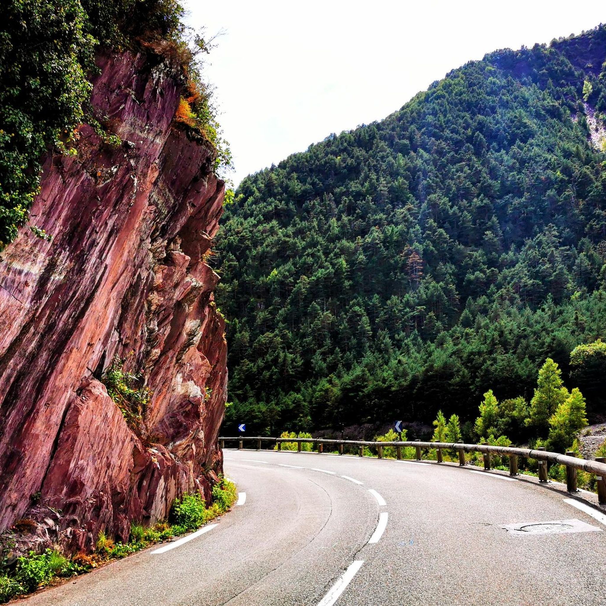
Hiking around Saint-Sauveur-Sur-Tinée
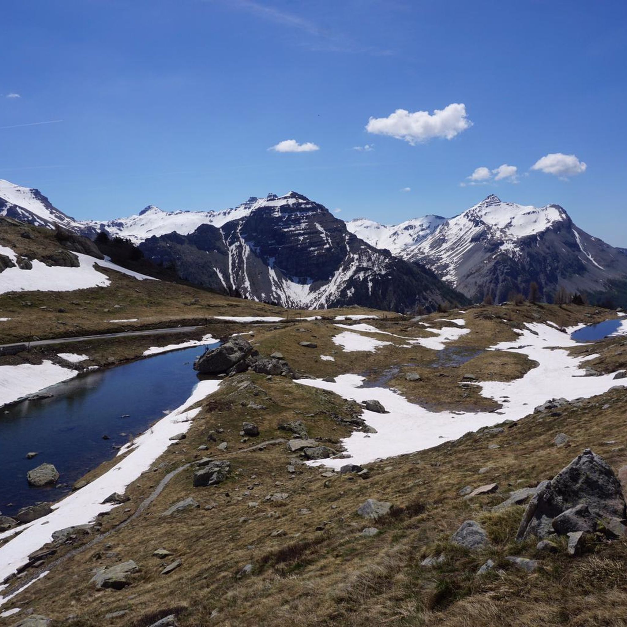
Road Cycling Routes around Saint-Sauveur-Sur-Tinée
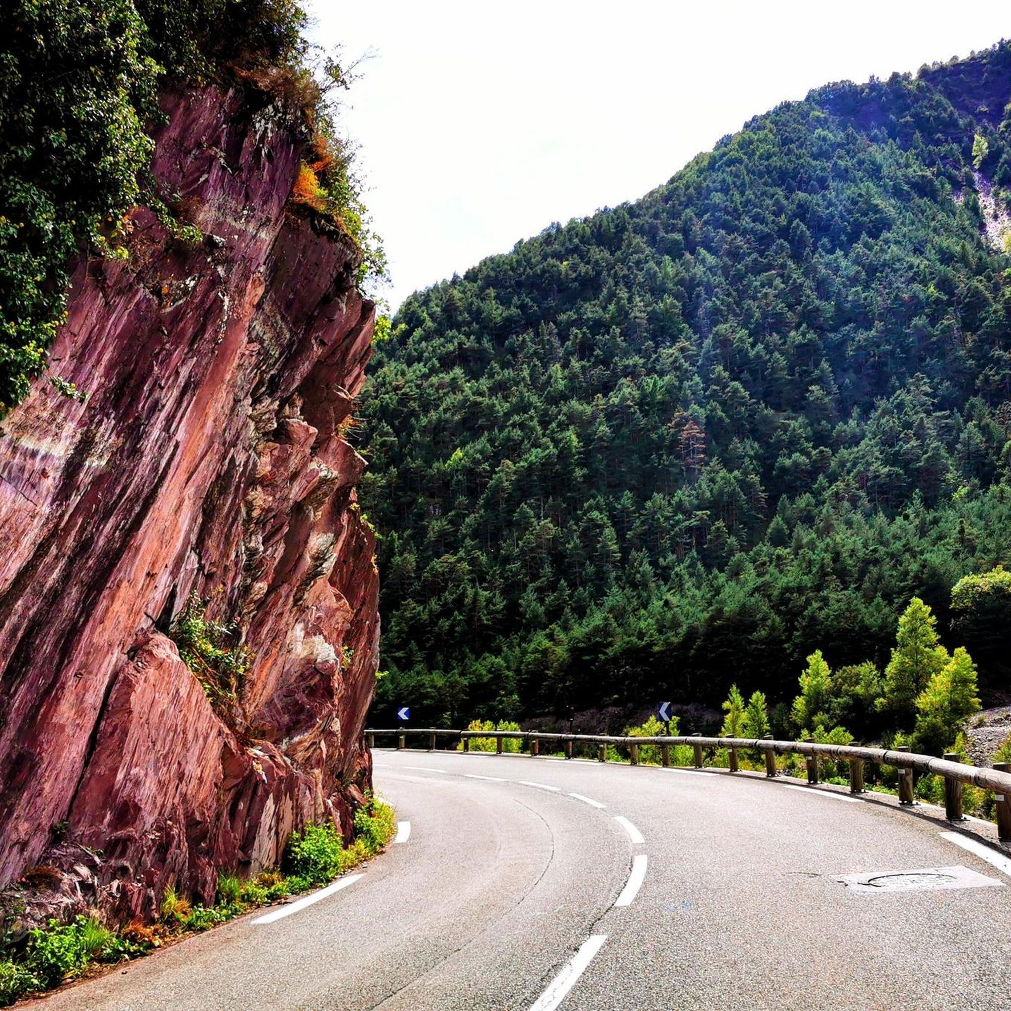
Cycling around Saint-Sauveur-Sur-Tinée
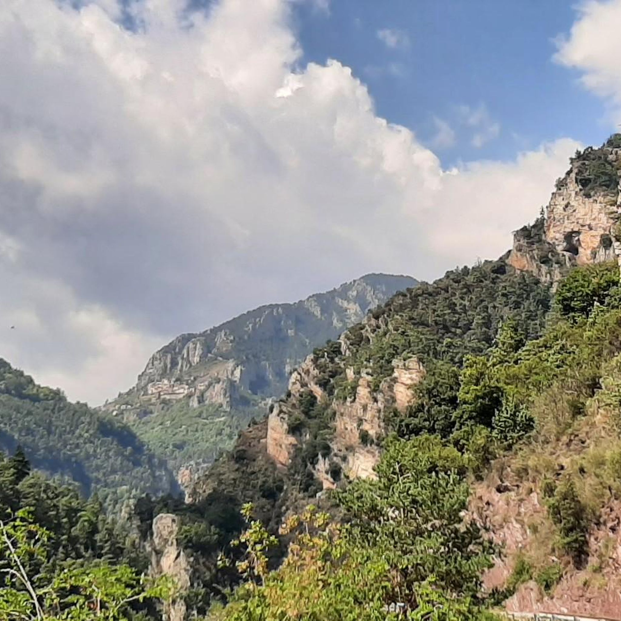
Running Trails around Saint-Sauveur-Sur-Tinée
MTB Trails around Saint-Sauveur-Sur-Tinée

Gravel biking around Saint-Sauveur-Sur-Tinée


Tips from the Community

For dog lovers...you are in a park...dog on a leash...good luck 🍻
1
0

Refuge in the Gesso valley, steep path and stretches of stony ground, but still at hiking level. Inside the Maritime Alps, but also accessible with a dog on a leash. Very suggestive place, it is worth climbing up here
1
1

Sale of alpine cheese in Cairo Petit
0
0

The Mille Fonds lakes are a succession of high-altitude lakes near the Col u Barn. Their deep blue enhances the panorama that some of them reveal, like Lake Long.
0
0
From the valley, you have to climb 1,700 meters of elevation gain to reach Mount Pépoiri. At 2,674 meters above sea level, the views of the Mercantour ridges are the greatest reward. The surrounding trails are neither too technical nor too rough, making it a perfect playground for trail runners.
1
0
If the southern slope of Baus de la Frema is known for its via ferrata, access from the north and east is much less technical. These trails are perfect for trail running, especially since the landscapes offered by the summit, at an altitude of 2,246 meters, are simply magnificent.
0
0

The Col des Deux Caïres peaks at an altitude of 1,921 meters, between the Tinée and Vésubie valleys. It connects Big Cairo to the east (2,087 meters above sea level) and Small Cairo to the west (1,921 meters above sea level). On Little Cairo, you can find the remains of a bunker, open to the public.
0
0

It was my first time with snow shoes, and it was a lot of fun, not dangerous. It was 4 1/2 hours
0
0
Frequently Asked Questions
How many mountaineering routes are available around Saint-Sauveur-sur-Tinée?
There are 7 distinct mountaineering routes documented around Saint-Sauveur-sur-Tinée, offering a range of experiences within the Tinée Valley and Mercantour National Park.
Are there any circular mountaineering routes in the area?
Yes, several routes are designed as loops. For example, the Vens Lakes loop from Santuario di Sant'Anna di Vinadio is a moderate 9.9 km trail that explores a high-altitude lake environment. Another challenging option is the Mountaineering loop from Pian Della Casa del Re, a difficult 11.0 km path with significant elevation gain.
What are the difficulty levels of the mountaineering routes?
The routes around Saint-Sauveur-sur-Tinée cater to various skill levels. You'll find 4 moderate routes and 3 difficult routes, ensuring options for both experienced mountaineers and those looking for a significant challenge. There are no easy routes listed for mountaineering in this specific selection.
What kind of landscapes can I expect to see on these mountaineering routes?
Mountaineering in this region offers incredibly diverse landscapes. You'll traverse high mountain scenery, vast pastures, and extensive forests within the Tinée Valley and Mercantour National Park. Expect dramatic features like rugged gorges, alpine lakes, and panoramic views of the high peaks, including those near the Mont Pépoiri or Testa dell'Autaret.
Are there any family-friendly mountaineering options?
While the listed mountaineering routes are primarily moderate to difficult, the broader region offers numerous hiking trails that might be more suitable for families. For mountaineering specifically, routes like the Vens Lakes loop from Santuario di Sant'Anna di Vinadio are moderate, but still require a good level of fitness and appropriate gear for high-altitude environments.
What is the best time of year for mountaineering in Saint-Sauveur-sur-Tinée?
The best time for mountaineering is typically from late spring to early autumn (June to September) when the high mountain passes are clear of snow and weather conditions are generally more stable. Outside of these months, winter mountaineering conditions can be challenging, requiring specialized equipment and experience due to snow and ice.
Are there any notable landmarks or attractions along the mountaineering routes?
Yes, the routes often pass through or near significant natural features and historical points. You might encounter stunning mountain passes like Col de la Lombarde or Col de la Couillole. The region is also dotted with charming villages and the historic Refuge de Valasco, which was once a hunting lodge, offering a glimpse into the area's heritage amidst the natural beauty.
What do other mountaineers say about the routes in Saint-Sauveur-sur-Tinée?
The mountaineering routes around Saint-Sauveur-sur-Tinée are highly regarded by the komoot community, with an average rating of 4.8 stars from over 9 reviews. Mountaineers frequently praise the spectacular high mountain scenery, the challenging alpine terrain, and the sense of immersion in the Mercantour National Park.
Are there options for less crowded mountaineering routes?
Given the extensive trail network within the Mercantour National Park and Tinée Valley, it's possible to find less crowded routes, especially outside of peak season or by choosing longer, more challenging trails. The region's vastness allows for exploration away from the most popular spots, offering a more solitary experience.
Where can I find parking for mountaineering trailheads?
Many mountaineering routes in the region, particularly those starting from villages or mountain passes, will have designated parking areas. For instance, routes like the Bassa del Druos loop start from locations such as Col de la Lombarde, which typically offers parking facilities. It's advisable to check specific route details for precise parking information.
What kind of flora and fauna can I observe while mountaineering?
The Mercantour National Park, which borders Saint-Sauveur-sur-Tinée, is renowned for its rich biodiversity. You can expect to see diverse alpine flora, including rare flowers, and potentially encounter wildlife such as chamois, ibex, marmots, and various bird species, especially in the higher, more remote sections of the trails.
Are there any refuges or places to rest along the routes?
Yes, the region has mountain refuges that can serve as resting points or overnight stays, particularly on longer routes. The Refuge de Valasco, for example, is a well-known spot in the enchanting plain of Valasco, accessible by a walk and serving as a base for exploring the surrounding natural beauty.
Most popular routes around Saint-Sauveur-Sur-Tinée
Most popular attractions around Saint-Sauveur-Sur-Tinée

Get inspired with the komoot mobile app


Explore more
Browse the best Mountain Hikes & Routes in other regions.
