The best MTB trails around Auvare
4.1
(190)
1,817
riders
82
rides
Mountain bike trails around Auvare are situated in the Alpes-Maritimes department of France, characterized by its mountainous terrain and river valleys. The region features varied relief, including ascents to mountain passes and descents through forested areas. Mountain biking routes often traverse a mix of natural surfaces, offering diverse riding experiences. The landscape provides opportunities for both challenging climbs and scenic rides along valley floors.
Best mountain bike trails around Auvare
- The most popular mountain bike trail is Camping du Brec…
Last updated: October 25, 2026
4.6
(34)
234
riders
22.3km
02:28
660m
660m
Moderate mountain bike ride. Good fitness required. Advanced riding skills necessary.
4.3
(9)
71
riders
Moderate mountain bike ride. Good fitness required.

4.8
(6)
61
riders
45.3km
05:56
1,670m
1,670m
Hard mountain bike ride. Very good fitness required. Advanced riding skills necessary.
4.4
(5)
30
riders
44.6km
04:58
1,490m
1,490m
Hard mountain bike ride. Very good fitness required. Advanced riding skills necessary.
1.4
(5)
14
riders
33.5km
04:22
1,400m
1,400m
Hard mountain bike ride. Very good fitness required. Advanced riding skills necessary.
Get access to more routes and recommendations from other explorers.
Already have an account?
Our route recommendations are based on thousands of hikes, rides, and runs completed by other people on komoot.
Start today with a free account
Your next adventure awaits.
Tips from the Community

Departure from marker 14 to the Col de la Couillole. Fast and flowing descent, quite narrow for the first half. A real treat.
0
0

The Col de Sainte-Anne is a pass at an altitude of 425 meters in the French department of Bouches-du-Rhône.
0
1
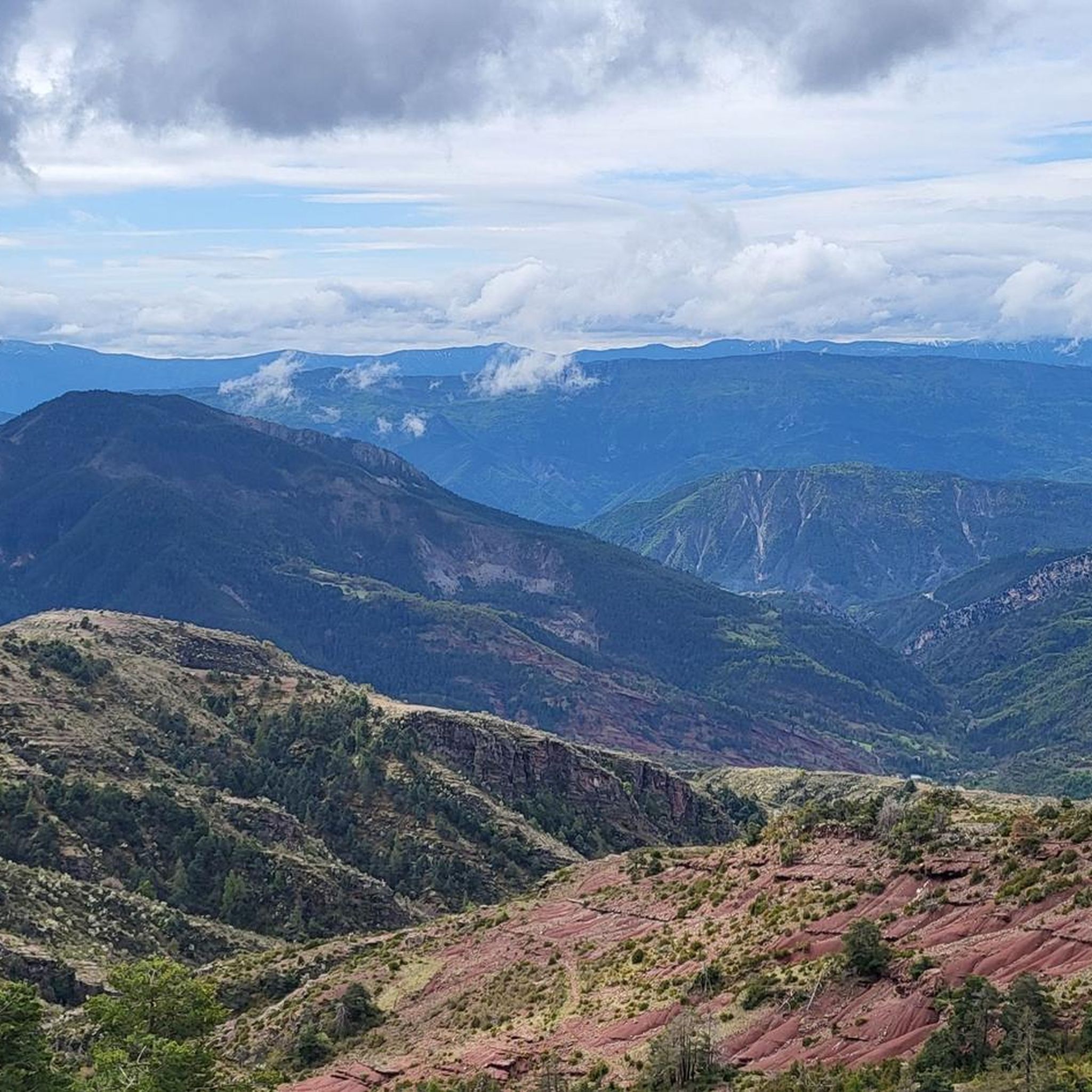
The Col de la Couillole is a mountain pass in the Massif du Mercantour-Argentera of the French Alps, situated at an altitude of 1,678 m (5,505 ft) in the Alpes-Maritimes department, France. The road connection is open for six to seven months of the year, allowing travel between the Cians gorges in the west and the Tinée valley in the east.
0
0
The Col de la Couillole is a mountain pass in the Massif du Mercantour-Argentera of the French Alps, situated at an altitude of 1,678 m (5,505 ft) in the Alpes-Maritimes department, France. The road connection is open for six to seven months of the year, allowing travel between the Cians gorges in the west and the Tinée valley in the east.
0
0


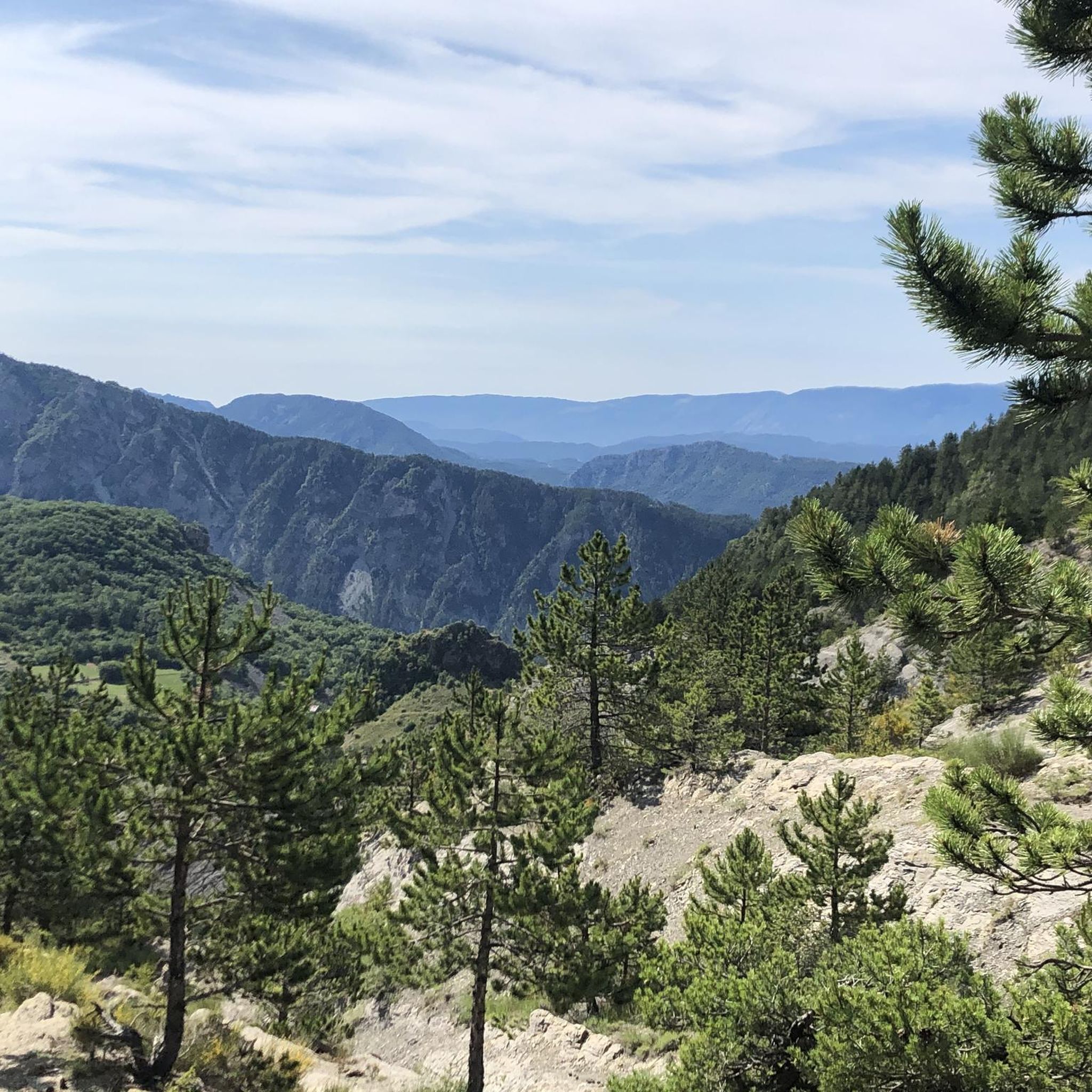
Nestled in the Southern Alps, the Col du Raton offers a wild and unspoiled route, perfect for mountain bike enthusiasts. Culminating at 1,686 meters, it crosses landscapes of steep mountains, pine forests and alpine meadows. The pass reveals breathtaking panoramas of the surrounding valleys, with a clear view of the neighboring peaks. The climb, although sporty, is rewarded by the raw beauty of nature.
1
0


The Col de la Couillole from Saint Sauveur sur tinee is 16km long with 1168m of elevation gain. The average gradient of the climb is 7.3% with maximum gradients of 9.3%.
3
0
Frequently Asked Questions
How many mountain bike trails are available around Auvare?
There are over 90 mountain bike trails around Auvare, offering a wide range of options for different skill levels. The region is known for its varied terrain, including mountainous ascents and river valley paths.
What is the general difficulty level of mountain biking trails in Auvare?
The trails around Auvare cater to various skill levels. While there is 1 easy route, the majority are moderate (32 trails) and difficult (58 trails), featuring significant elevation gains and technical sections. For a challenging ride, consider the Montagne de Mairola – Col de Panégière loop from Puget-Théniers, which includes over 1,400 meters of elevation gain.
Are there any family-friendly mountain bike trails in Auvare?
While many trails in Auvare are moderate to difficult, there is at least one easy route available. For families looking for less strenuous options, it's advisable to check the specific trail details on komoot for routes with minimal elevation and smoother surfaces. The region's river valleys can offer gentler sections.
What kind of elevation changes can I expect on Auvare mountain bike routes?
Mountain bike routes around Auvare often feature significant elevation changes, characteristic of the Alpes-Maritimes department. Trails can include ascents to mountain passes and descents through forested areas. For example, the Climb to Col de Saint-Leger loop from Puget-Théniers involves over 1,500 meters of climbing.
Are there scenic viewpoints along the mountain bike trails in Auvare?
Yes, many trails offer scenic viewpoints. The region's mountainous terrain and river valleys provide numerous opportunities for breathtaking vistas. The View of Entrevaux – View of Entrevaux loop from Puget-Théniers is specifically highlighted for leading through varied landscapes with scenic viewpoints.
What are some interesting landmarks or natural attractions to see near the mountain bike trails?
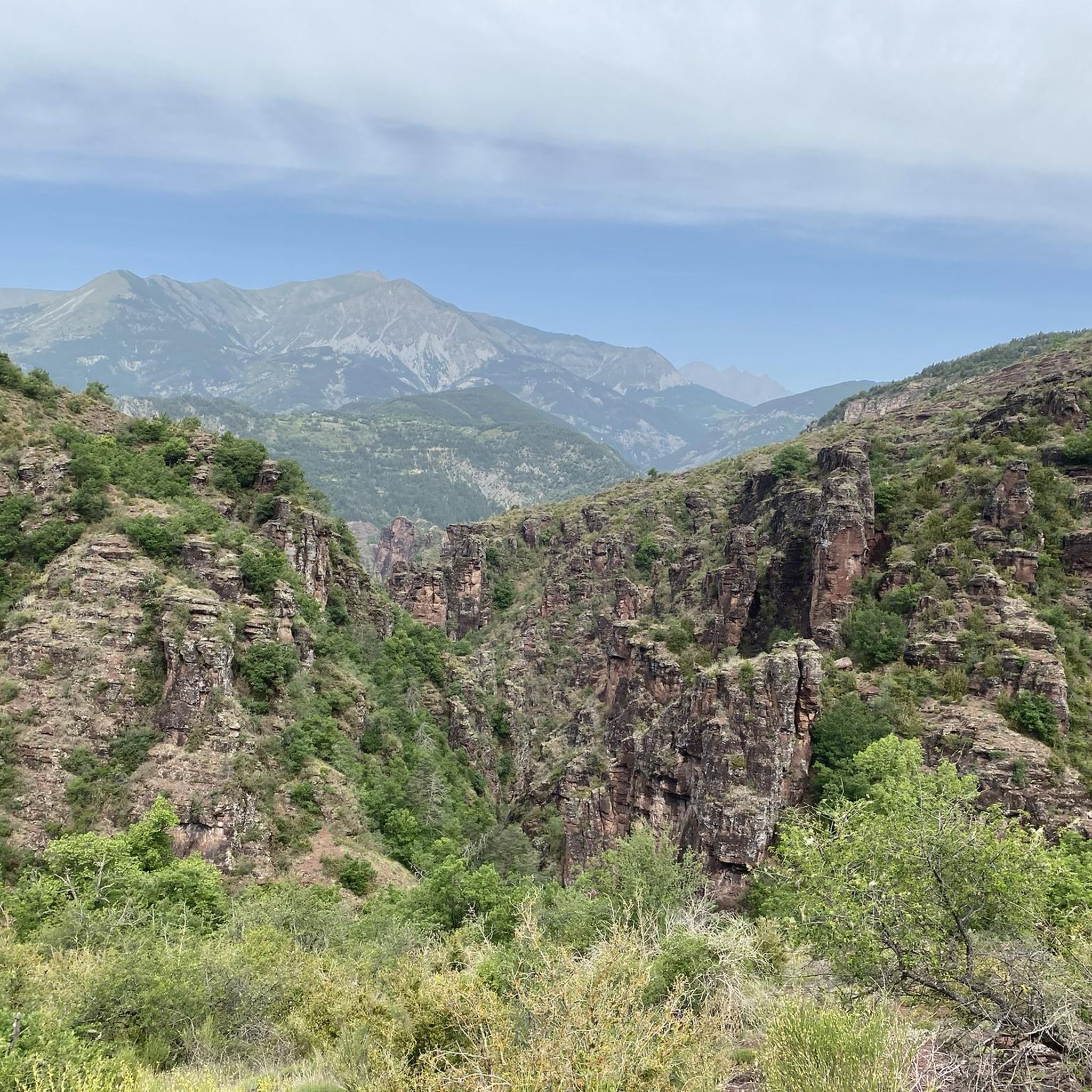
The area around Auvare is rich in natural beauty and historical sites. You can explore the dramatic Daluis gorges or the Gorges du Cians. Other notable points include the View of Entrevaux and the Bride's Bridge.
Is parking available for mountain bikers in the Auvare area?
While specific parking locations for each trail are not detailed, the region is accessible by car. Many routes, such as those starting from Puget-Théniers, likely have designated or informal parking areas nearby. It's recommended to check the starting points of individual komoot tours for more precise parking information.
What is the best time of year to go mountain biking in Auvare?
The Alpes-Maritimes region generally offers good mountain biking conditions from spring through autumn. Summers can be warm, making early morning or late afternoon rides preferable. Spring and autumn provide milder temperatures and vibrant scenery. Winter riding might be possible at lower elevations, but higher mountain passes could be affected by snow.
Are there any circular mountain bike routes around Auvare?
Yes, many of the mountain bike trails around Auvare are designed as loops. Examples include the Camping du Brec and its beach – View of Entrevaux loop from Puget-Théniers and the Montagne de Mairola – Col de Panégière loop from Puget-Théniers, allowing riders to start and finish at the same point.
What do other mountain bikers enjoy most about the trails in Auvare?
The mountain bike trails around Auvare are highly rated by the komoot community, with an average score of 4.1 stars from over 170 reviews. Riders often praise the varied terrain, which includes mountainous ascents, river valley paths, and forested sections, offering diverse and engaging riding experiences.
Are there any trails suitable for advanced mountain bikers seeking a challenge?
Absolutely. The Auvare area is particularly well-suited for advanced riders, with 58 out of 91 trails classified as difficult. These routes feature significant elevation gains and technical passages. The Climb to Col de Saint-Leger loop from Puget-Théniers is a prime example, offering a substantial challenge with over 1,500 meters of climbing.
Can I find cafes or accommodation near the mountain bike trails in Auvare?
While Auvare itself is a small locality, the broader Alpes-Maritimes region, including nearby towns like Puget-Théniers, offers various amenities. You can expect to find cafes, restaurants, and accommodation options in these larger settlements, which often serve as starting points for many trails. It's advisable to plan your route and check for services in the closest towns.
Most popular attractions around Auvare

Get inspired with the komoot mobile app


Explore more
Browse the best MTB trails in other regions.
