The best road cycling routes around Puget-Rostang
4.8
(57)
3,926
riders
50
rides
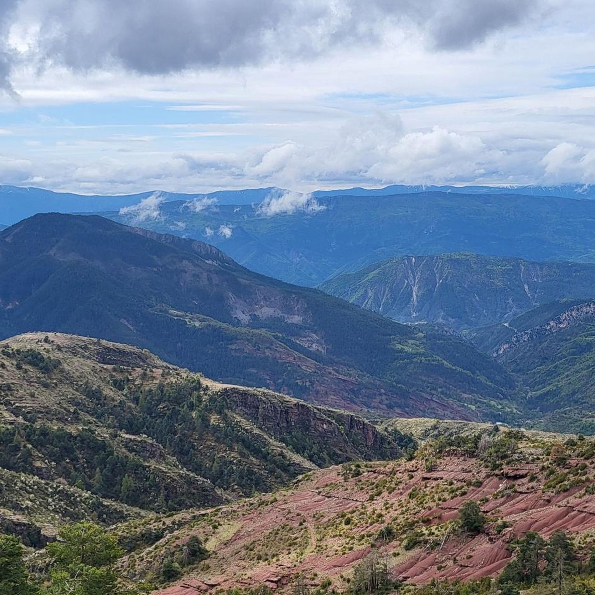
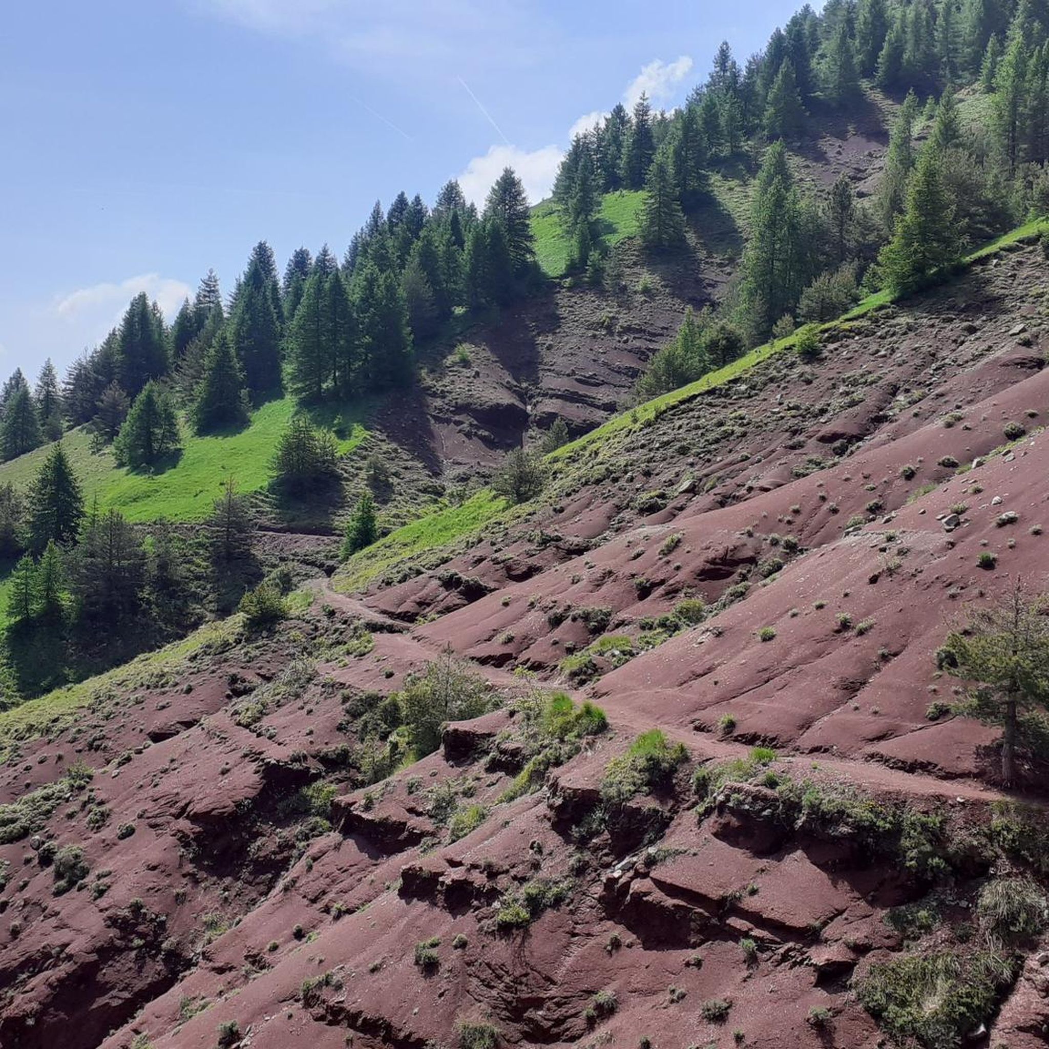
Road cycling around Puget-Rostang features a landscape characterized by significant elevation changes, winding mountain roads, and deep gorges. The region includes notable climbs such as Col de Saint-Raphaël, Col de la Couillole, and Col de Saint-Leger, offering challenging ascents and descents. These routes often traverse through varied terrain, providing a diverse experience for road cyclists. The area's topography makes it suitable for advanced road bike routes Puget-Rostang, with numerous opportunities for sustained climbing.
Best road cycling routes around Puget-Rostang
- The…
Last updated: May 12, 2026
5.0
(4)
203
riders
87.4km
04:53
1,890m
1,890m
Hard road ride. Very good fitness required. Mostly well-paved surfaces and easy to ride.
77
riders
101km
05:35
2,140m
2,140m
Hard road ride. Very good fitness required. Mostly well-paved surfaces and easy to ride.

Sign up for free
40
riders
39.7km
02:09
770m
770m
Moderate road ride. Good fitness required. Mostly well-paved surfaces and easy to ride.
5.0
(2)
40
riders
43.1km
02:24
920m
920m
Hard road ride. Very good fitness required. Mostly well-paved surfaces and easy to ride.
22
riders
126km
07:11
2,860m
2,860m
Hard road ride. Very good fitness required. Mostly well-paved surfaces and easy to ride.
Get access to more routes and recommendations from other explorers.
Sign up for free
Already have an account?
Our route recommendations are based on thousands of hikes, rides, and runs completed by other people on komoot.
Start today with a free account
Your next adventure awaits.
Login or Signup

Tips from the Community

The Col de la Couillole is a mountain pass in the Massif du Mercantour-Argentera of the French Alps, situated at an altitude of 1,678 m (5,505 ft) in the Alpes-Maritimes department, France. The road connection is open for six to seven months of the year, allowing travel between the Cians gorges in the west and the Tinée valley in the east.
0
0
The Col de la Couillole is a mountain pass in the Massif du Mercantour-Argentera of the French Alps, situated at an altitude of 1,678 m (5,505 ft) in the Alpes-Maritimes department, France. The road connection is open for six to seven months of the year, allowing travel between the Cians gorges in the west and the Tinée valley in the east.
0
0

This crossing point is spectacular.
12
0
There are some very interesting passages along this stretch of road.
11
0

Don't hesitate to enter the village to appreciate all its charm.
0
0

If you'd like to take a ride, you can find out about the train times here: https://www.cpzou.fr/en/steam-train-train-des-pignes-a-vapeur/
0
0

Spectacular view towards the steep valley of Tinée.
0
0

very nice climb, can be very warm from June on, no water sources along It, get some before starting the road uphill
2
0
Frequently Asked Questions
Are there easy road cycling routes suitable for beginners in Puget-Rostang?
While Puget-Rostang is known for its challenging terrain, there are approximately 5 easy road cycling routes available. These routes offer a gentler introduction to the region's landscapes, though some elevation gain is still characteristic of the area.
What kind of challenges do advanced road cyclists find in Puget-Rostang?
Advanced road cyclists will find plenty of challenges in Puget-Rostang, with 28 difficult routes featuring significant elevation changes, winding mountain roads, and deep gorges. Notable climbs include Col de Saint-Raphaël, Col de la Couillole, and Col de Saint-Leger. An example of a challenging route is St Auban Gorge – Clue de Gréolières Scenic Road loop from Puget-Théniers, which covers over 126 km with substantial climbing.
Can I find circular road cycling routes in Puget-Rostang?
Yes, many of the road cycling routes in Puget-Rostang are designed as loops, allowing you to start and finish at the same point. For instance, the popular Ascros Village and Castle – Col de Saint-Raphaël loop from Puget-Théniers is a circular route.
What is the typical length and duration of road cycling routes in Puget-Rostang?
The routes vary significantly in length and duration. You can find shorter rides like the Climb to Col de Saint-Leger – View of Entrevaux loop from Puget-Théniers, which is about 39.7 km and takes around 2 hours 21 minutes. Longer, more challenging routes can extend over 100 km and require 5 hours or more to complete, such as the Col de la Couillole – Ascent to Col de la Couillole loop from Puget-Théniers.
Is parking available near the road cycling routes in Puget-Rostang?
Many road cycling routes in Puget-Rostang start from towns like Puget-Théniers or Les Clos, where public parking is generally available. It's advisable to check local parking options at your chosen starting point before your ride.
What can I see along the road cycling routes in Puget-Rostang?
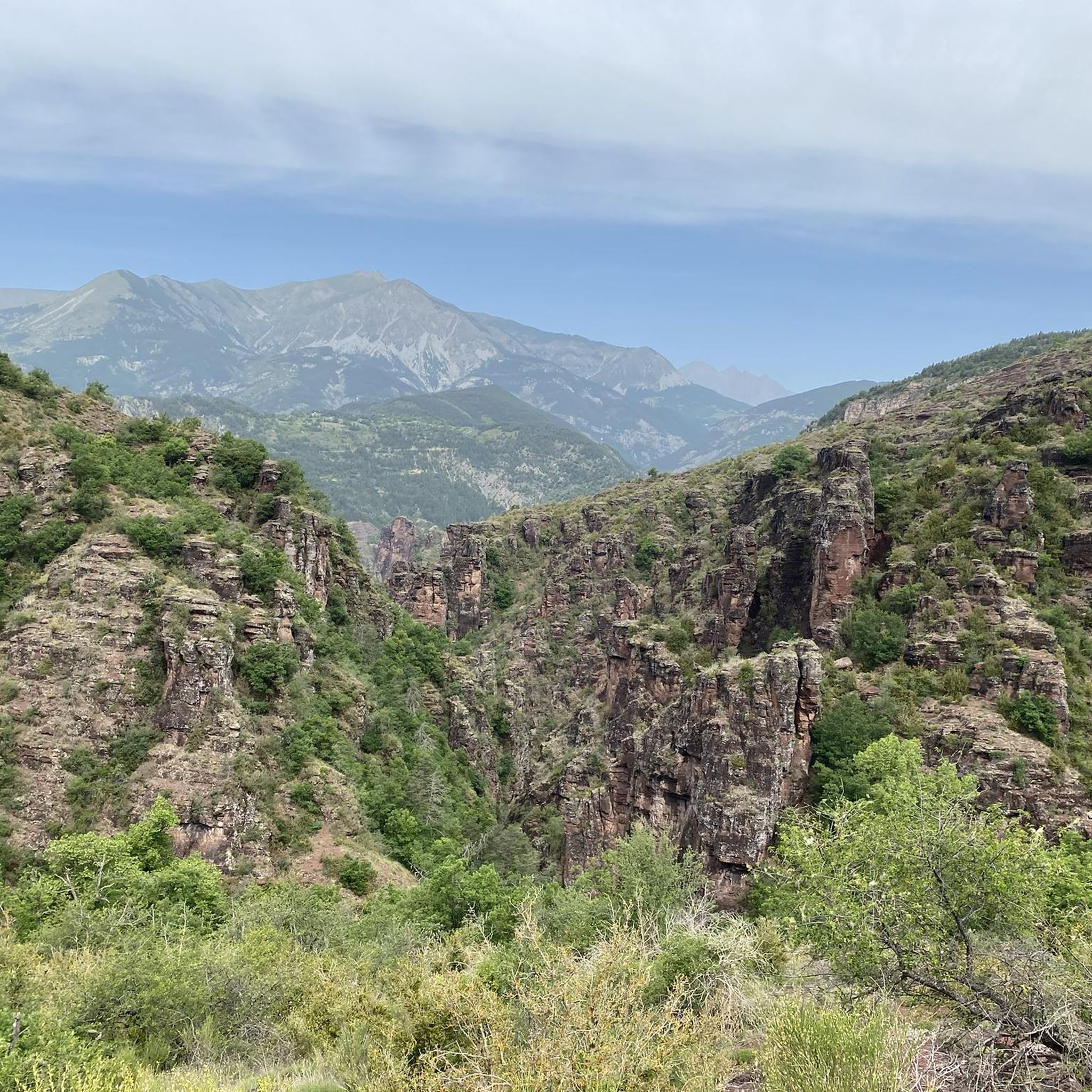
The routes often pass through scenic areas and near historical sites. You can encounter impressive natural formations like the Gorges du Cians or the Gorges de Daluis. Historic landmarks such as the Ascros Village and Castle are also accessible along some routes.
Are there any specific viewpoints or scenic spots along the road cycling routes?
Yes, the mountainous terrain offers numerous scenic viewpoints. The View of the Gorges de Daluis is a notable spot, and routes often provide panoramic vistas of the surrounding valleys and peaks, including views towards Entrevaux.
What do other road cyclists enjoy the most about road cycling in Puget-Rostang?
The area is highly rated by the komoot community, with an average score of 4.8 stars from over 60 reviews. Reviewers often praise the challenging climbs, the stunning mountain scenery, and the quiet, winding roads that characterize the region.
What is the best time of year for road biking in Puget-Rostang?
The best time for road biking in Puget-Rostang is typically from spring to autumn. During these seasons, the weather is generally favorable, and the mountain passes are clear of snow. Summer offers warm conditions, while spring and autumn provide cooler temperatures and vibrant scenery.
Are there any cafes or places to stop for refreshments along the road cycling routes?
While the routes often traverse remote mountain areas, many pass through small villages or towns like Puget-Théniers, where you can find cafes and shops for refreshments. Planning your route with potential stops in mind is recommended.
How many road cycling routes are available in Puget-Rostang?
There are over 50 road cycling routes around Puget-Rostang listed on komoot, offering a wide range of options for different skill levels and preferences.
What kind of terrain can I expect on the road cycling routes in Puget-Rostang?
The terrain in Puget-Rostang is predominantly mountainous, featuring significant elevation changes, winding roads, and deep gorges. You can expect a mix of sustained climbs, exhilarating descents, and varied landscapes throughout the region.
Most popular attractions around Puget-Rostang

Get inspired with the komoot mobile app


Explore more
Browse the best Road cycling routes in other regions.
