The best road cycling routes around Saorge
4.6
(220)
5,434
riders
36
rides
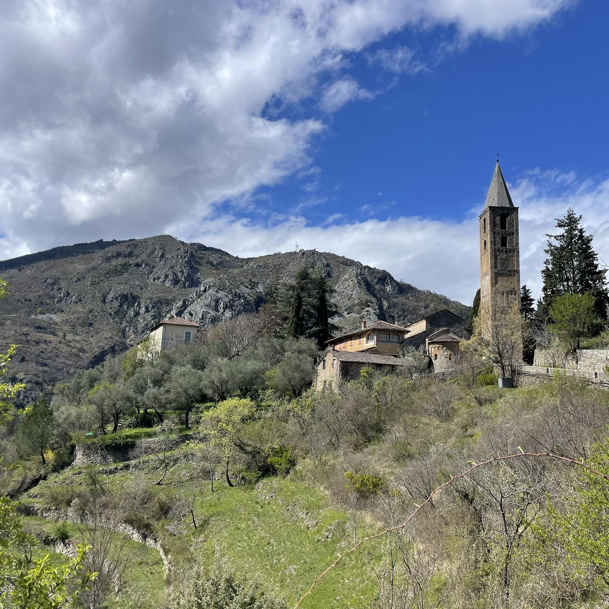
Road cycling routes around Saorge traverse a dramatic landscape characterized by deep gorges, winding mountain roads, and steep inclines. The village is perched above the Roya River, offering routes that navigate the mountainous terrain of the Alpes-Maritimes department. This region, bordering the Mercantour National Park, provides a challenging environment for road cyclists with consistent gradients and panoramic views. The area features a mix of rugged white limestone mountains and green woods, creating varied cycling conditions.
Best road cycling routes around…
Last updated: August 9, 2026
4.7
(13)
519
riders
79.0km
04:30
1,760m
1,760m
Hard road ride. Very good fitness required. Mostly well-paved surfaces and easy to ride.
4.7
(3)
65
riders
58.7km
03:42
1,710m
1,710m
Hard road ride. Very good fitness required. Mostly well-paved surfaces and easy to ride.

Sign up for free
41
riders
57.9km
03:34
1,510m
1,510m
Hard road ride. Very good fitness required. Mostly well-paved surfaces and easy to ride.
4.5
(4)
37
riders
32.8km
01:44
620m
620m
Moderate road ride. Good fitness required. Mostly well-paved surfaces and easy to ride.
14
riders
17.9km
01:12
580m
580m
Moderate road ride. Good fitness required. Mostly well-paved surfaces and easy to ride.
Get access to more routes and recommendations from other explorers.
Sign up for free
Already have an account?
Our route recommendations are based on thousands of hikes, rides, and runs completed by other people on komoot.
Start today with a free account
Your next adventure awaits.
Login or Signup
Tips from the Community

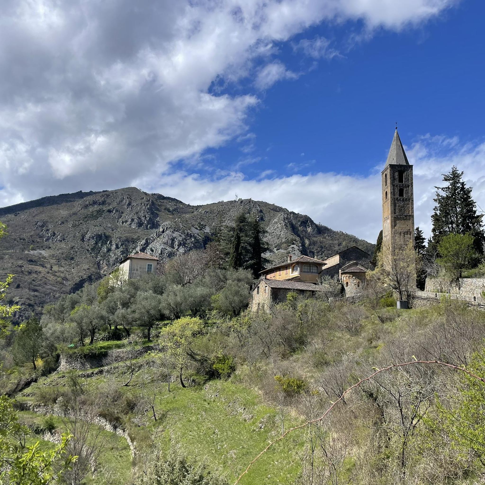
Along the SP 67 from Pigna towards the Langan pass, about 1 km from the pass, you will find this very fresh fountain. Damaged in 2023 during the Sanremo Rally, it has since been repaired and provides cyclists with a nice stream of very fresh water.
0
0

Small town accessible by train, a good starting point or stopover for a hike. Also has a campsite...
0
0

The historic old town of Menton, the “Vieille Ville”, impresses with its labyrinth of narrow, shady streets and the striking, pastel-colored house fronts that stretch picturesquely up the hill.
0
0

In the old town, there are numerous opportunities to buy lemons, lemon candies, lemon soap, lemon cake, and lemon ice cream. The famous lemons of Menton differ from other varieties in their elliptical shape, lack of bitterness, more vibrant colors, and oil-rich peels that impart a more pronounced fragrance.
1
0

“Menton. Italy is beginning, you can feel it in the air,” wrote Flaubert. The old town has an air of la dolce vita. It’s easy to get lost in the narrow streets, stairways, and shaded squares, lined with luminous ochre facades. Within the old fortified walls, the medieval crosspieces and the Baroque complex of the Parvis Saint-Michel reveal the weight of history. And everywhere, absolutely everywhere, the Mediterranean reminds us of its presence with its dazzling blue. A marvel for the eyes and the heart!
1
0
The Sospel bridge is located on a major road linking Nice to Piedmont via the Roya valley and the Col de Tende.
0
0
Sospel is located 20 km from Menton, at an altitude of around 350 m, at the gateway to the Mercantour National Park.
0
0
Frequently Asked Questions
How many road cycling routes are available around Saorge?
There are 38 road cycling routes around Saorge, offering a diverse range of experiences. These routes are highly regarded by the komoot community, with an average rating of 4.6 stars from over 200 reviews, and have been explored by nearly 4,800 cyclists.
What is the general difficulty level of road cycling routes in Saorge?
Road cycling around Saorge is characterized by challenging terrain. The majority of routes are classified as difficult (22 routes), with the remaining 16 routes being of moderate difficulty. This reflects the region's dramatic landscape of deep gorges and winding mountain roads, providing consistent gradients and significant elevation changes.
Are there any circular road cycling routes around Saorge?
Yes, many routes around Saorge are circular, allowing you to start and finish in the same location. An example is the challenging Brouis Pass (879 m) – Castillon Pass loop from Breil sur Roya, which covers 49.1 miles (79.0 km) with substantial elevation gain.
What kind of landscapes can I expect to see while road cycling near Saorge?
The routes near Saorge traverse a dramatic landscape. You'll experience breathtaking views of deep gorges, rugged white limestone mountains, and green woods, particularly within the Roya Valley. The region borders the Mercantour National Park, offering an immersive experience in nature with spectacular panoramic vistas.
What are some notable landmarks or viewpoints along the road cycling routes?
While cycling, you can encounter various points of interest. For instance, the Brouis Pass (879 m) – Sospel village and the Old Bridge (Pont-Vieux) loop from Fontan - Saorge takes you through the scenic Roya Valley and past the historic Sospel village. Other notable landmarks in the broader area include the Statue of Christ the Redeemer on Monte Saccarello and Marta's Balcony, which offers stunning views.
Are there any family-friendly road cycling options in Saorge?
Given the mountainous terrain and the prevalence of difficult and moderate routes, Saorge's road cycling is generally geared towards experienced cyclists seeking a challenge. There are no routes specifically classified as 'easy' in the immediate area, so families with young children or beginners might find the gradients demanding.
Can I find places to stop for refreshments or accommodation along the routes?
Saorge and the surrounding villages in the Roya Valley offer amenities for cyclists, including cafes, pubs, and accommodation. While specific stops are not detailed for every route, the presence of villages like Sospel on routes such as the Brouis Pass (879 m) – Sospel village and the Old Bridge (Pont-Vieux) loop from Fontan - Saorge suggests opportunities for breaks.
What is the best time of year for road cycling in Saorge?
The Alpes-Maritimes region, where Saorge is located, offers a long cycling season. While not explicitly stated, the mention of snow-capped mountains and winter activities in Mercantour National Park suggests that spring, summer, and early autumn would be ideal for road cycling, avoiding potential snow or ice at higher elevations.
Are there any specific regulations for road cycling within or near Mercantour National Park?
Saorge lies at the eastern edge of Mercantour National Park. While the park is known for its extensive network of paths and trails, specific regulations for road cycling within the park boundaries should be checked with local authorities or the park's official website to ensure compliance, especially concerning protected areas.
Are there any routes that offer views of historic villages?
Yes, some routes provide views of picturesque historic villages. For example, the Apricale Historic Village – View of Bajardo loop from Buggio is a difficult 36.5-mile (58.7 km) path that offers extensive climbs and descents through scenic landscapes, including views of Apricale.
What are some of the mountain huts or refuges accessible near the cycling routes?
While primarily for hikers, several mountain huts are located in the broader area and could be points of interest or emergency shelters. These include Merveilles Refuge, La Terza Mountain Hut, and Valmasque Refuge.
Are there options for shorter road cycling routes?
Yes, there are shorter options available for road cycling. For instance, the View of Breil-sur-Roya – Brouis Pass (879 m) loop from Breil sur Roya is a moderate 17.9 km (11.1 miles) route, offering a quicker yet still scenic ride.
Most popular attractions around Saorge

Get inspired with the komoot mobile app


Explore more
Browse the best Road cycling routes in other regions.
