The best MTB trails around Saorge
4.6
(396)
3,600
riders
95
rides
Mountain bike trails around Saorge are situated in the French Alps near the Italian border, within the Mercantour National Park. The region features the dramatic Roya Valley and its deep gorges, with Saorge itself built into the mountainside. This mountainous environment provides a network of paths and trails, including significant elevation changes and technically demanding sections. The area is characterized by medium and high mountain landscapes, offering diverse terrain for mountain biking.
Best mountain bike trails around Saorge
- The most…
Last updated: July 13, 2026
4.5
(2)
2
riders
27.7km
03:07
890m
890m
Moderate mountain bike ride. Good fitness required. Advanced riding skills necessary.
4.4
(5)
55
riders
42.8km
05:27
1,820m
1,820m
Hard mountain bike ride. Very good fitness required. Advanced riding skills necessary. Some portions of the route may require you to push your bike.

Sign up for free
5.0
(2)
24
riders
34.8km
03:42
1,160m
1,160m
Hard mountain bike ride. Very good fitness required. Suitable for all skill levels.
20
riders
90.6km
09:28
3,170m
3,170m
Hard mountain bike ride. Very good fitness required. Suitable for all skill levels.
5.0
(1)
17
riders
12.3km
01:26
430m
430m
Moderate mountain bike ride. Good fitness required. Suitable for all skill levels.
Get access to more routes and recommendations from other explorers.
Sign up for free
Already have an account?
Our route recommendations are based on thousands of hikes, rides, and runs completed by other people on komoot.
Start today with a free account
Your next adventure awaits.
Login or Signup
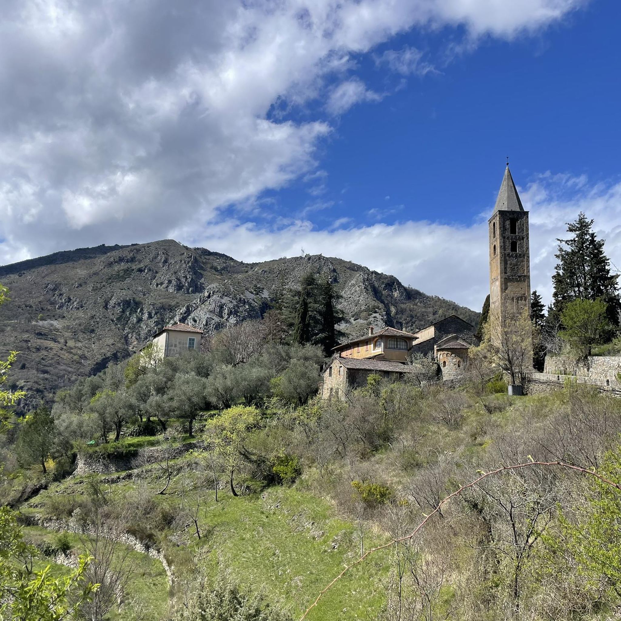
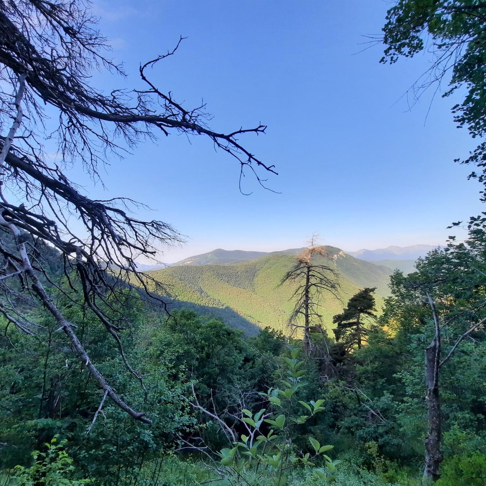
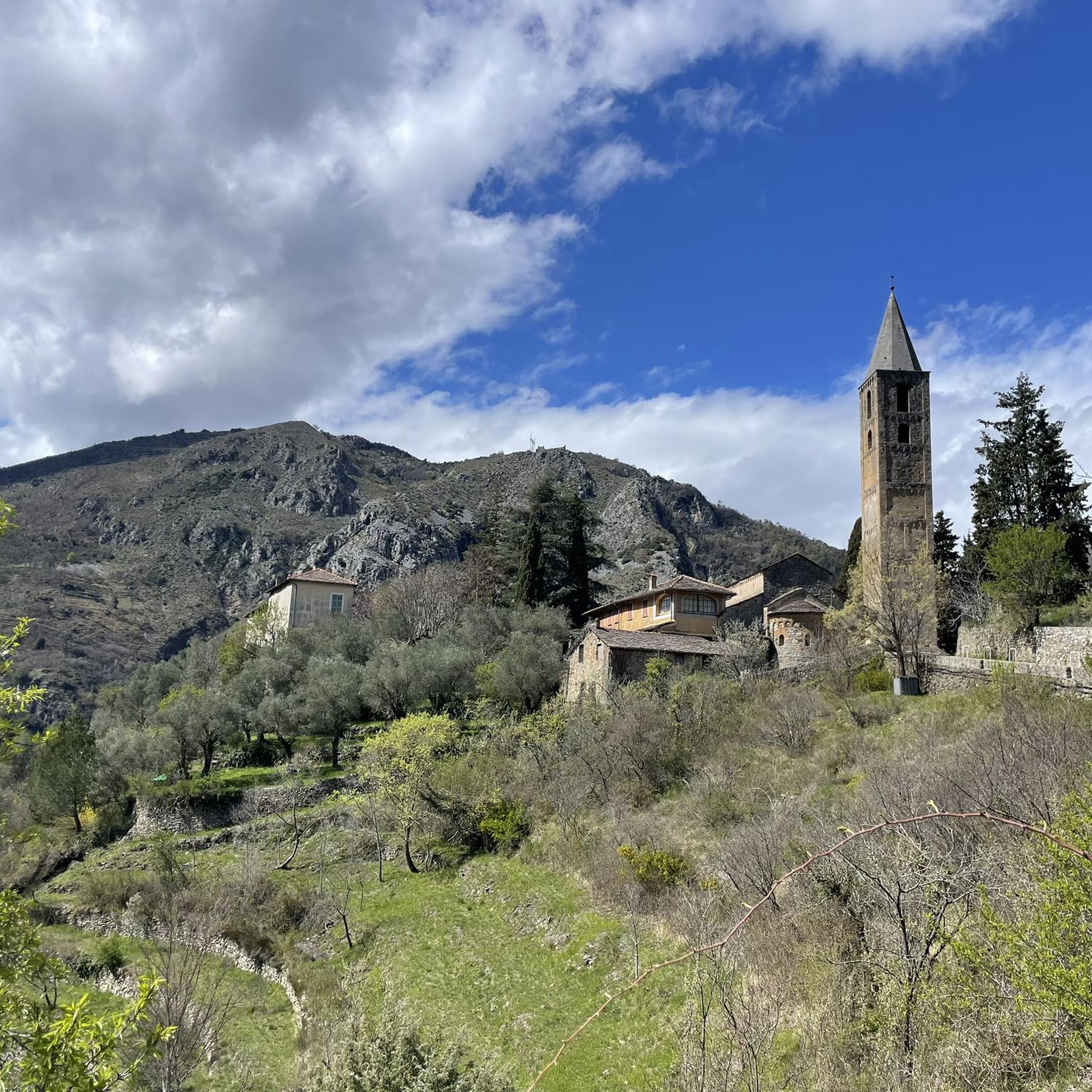
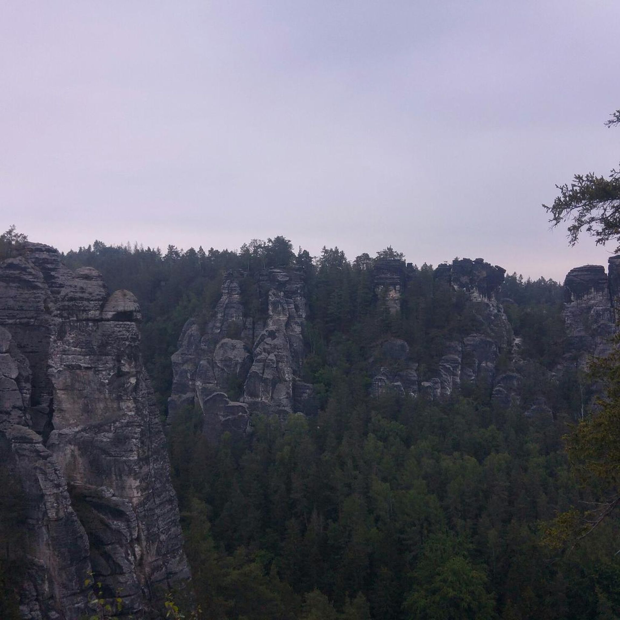
Tips from the Community

A bridge, only angled with natural stones, that actually leads to nowhere…😅? Was inaugurated by the Principality of Monaco
0
0

Exploit technique or work of the devil? The Pont du Coq immediately surprises with its improbable angle above the Levenza. It was rebuilt in 1710 after a flood destroyed the old medieval bridge.
0
0

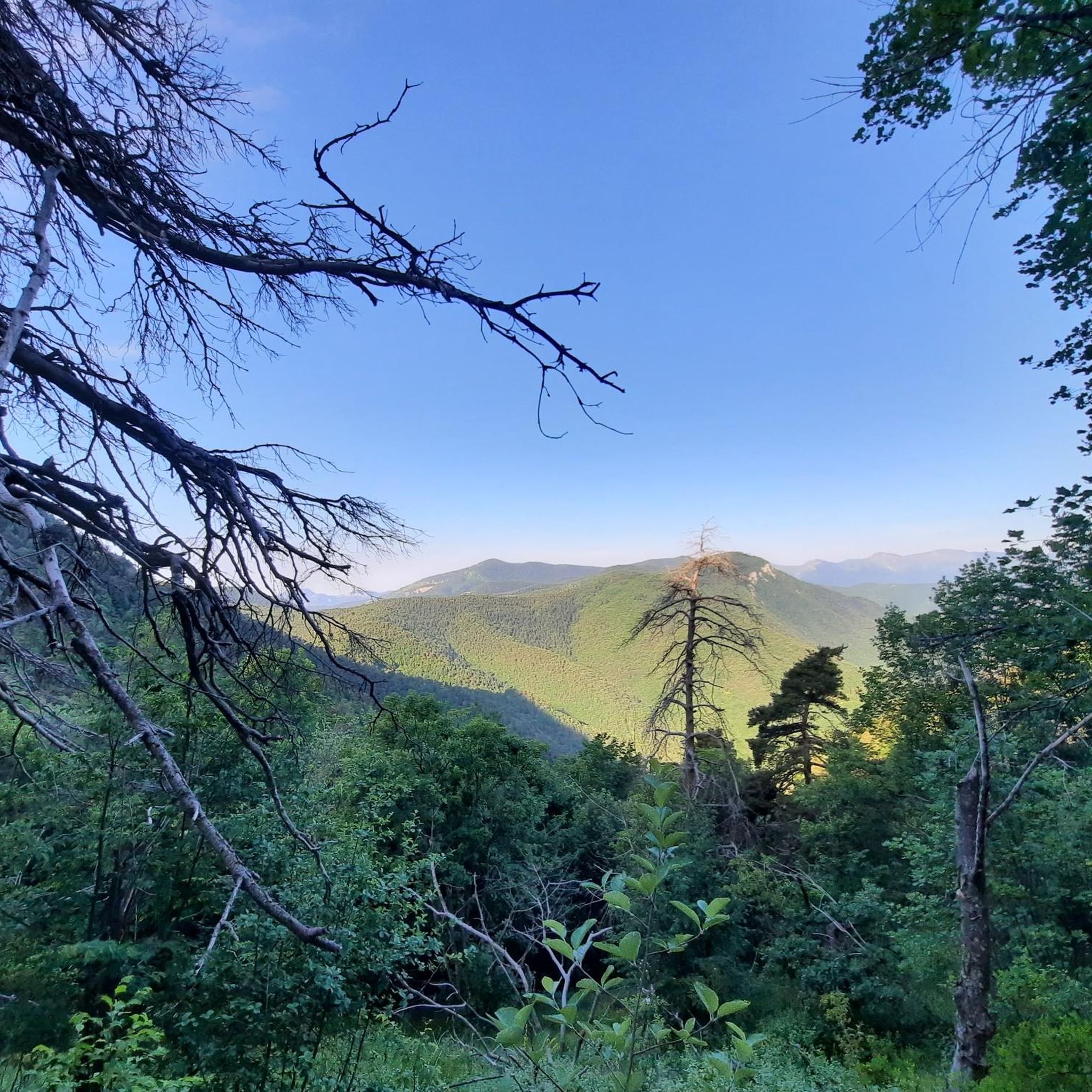
beautiful view at Col Melosa
0
0

Hardly anything to see, it is largely used as a stable. But a beautiful mountain trail with a view
0
0

Beautiful view. You can't go to the lake. It's fenced off because it's artificial.
0
0
Last climb before the very rough descent towards Allavena
0
0
It's possible to sleep, but you have to ask for the keys at the Allavena Refuge. There's no water or electricity, though.
0
0

Technical skill or devil's work? This angular bridge is very curious... At the beginning of the 18th century, the previous medieval bridge was destroyed by a flood of the river Levenza. In 1710, the masons Cometto, father and son from Lugano, rebuilt the current bridge, composed of a large semi-circular arch over the Levenza with an important diameter of 14.20 m to cope with floods. On the right bank, a ramp on arches connects the current road (RD 43) and the bridge, crossing the flooded meadows at an angle of 110°. Conversely, the left bank is simply connected by a road extension. The road, about 2.60 m wide, has an additional width at the junction angle between the bridge and the north ramp to facilitate the rotation of drawn carts. The work is built in mortared rubble masonry and the road is covered with a cobblestone tread, typical of the region. In addition, masonry parapets were added later to delimit the road. One of the most popular legends about the Pont du Coq in La Brigue tells that the village was once regularly attacked by bandits from the mountains. The inhabitants therefore decided to build a bridge to facilitate their escape in case of attack. However, they did not have enough stones to complete the construction and the bridge was about to be abandoned. One morning, a rooster appeared on the construction site and began to scratch the ground with its paws. The inhabitants took it as a sign and, by digging where the rooster had scratched, they found a large quantity of stones that were used to complete the construction of the bridge. From that day on, the rooster became the symbol of the bridge, in gratitude for its help. Another legend has it that the Pont du Coq was haunted by the spirit of a young girl who had drowned in the river. The villagers organized a ceremony to appease her spirit, during which a rooster was sacrificed. From that day on, the bridge is considered a place of purification and reconciliation. https://www.menton-riviera-merveilles.it
0
0
Frequently Asked Questions
What is the overall difficulty level of mountain bike trails around Saorge?
The mountain bike trails around Saorge offer a range of challenges, primarily catering to moderate and difficult skill levels. You'll find 21 moderate routes and 68 difficult routes, with significant elevation changes and technically demanding sections, especially within the mountainous terrain of the Roya Valley and Mercantour National Park.
Are there any family-friendly or easy mountain bike trails suitable for beginners or children in Saorge?
While Saorge is known for its challenging terrain, there are some moderate routes available. However, the region's trails are generally geared towards experienced riders due to the mountainous environment and elevation gains. For easier options, it's best to check individual route descriptions on komoot for specific details on terrain and technical demands.
Can I bring my dog on the mountain bike trails in Saorge?
Saorge is located within the Mercantour National Park, which has specific regulations regarding dogs to protect its diverse wildlife. Generally, dogs are allowed on a leash in certain areas, but restrictions may apply on specific trails or during certain seasons. It's advisable to check the current regulations of the Mercantour National Park before planning your ride with a dog.
What kind of natural features and attractions can I expect to see along the mountain bike trails?
The trails offer stunning views of the Roya Valley and its deep gorges, as Saorge is dramatically situated overlooking them. You'll be riding through the diverse landscapes of the Mercantour National Park, known for its medium and high mountain scenery. The area also features the Bendola canyon and the Roya River. For specific points of interest, consider exploring highlights like the Border Trail (Sentier Frontalier) or the Allavena Hut – Colle Melosa.
Are there any long-distance mountain bike routes available from Saorge?
Yes, Saorge serves as a starting point for several longer routes. For instance, the Route Jersey – Col de Turini loop from Saorge is a challenging 90.6 km trail that takes about 9 hours 27 minutes to complete, leading through high mountain landscapes. Another option is the "Circuit VTT Vallée de Cairos à la vallée de la Maglia," a 40 km trail traversing the preserved landscapes of the Roya and Mercantour National Park.
What is the best time of year for mountain biking in Saorge?
The region's mountainous terrain means that spring, summer, and early autumn generally offer the most favorable conditions for mountain biking. During these seasons, trails are typically clear of snow, and the weather is more stable. However, always check local weather forecasts and trail conditions, especially for higher elevations, as conditions can change rapidly.
Are there any circular mountain bike routes around Saorge?
Yes, there are several circular routes available. A notable example is the Berghé Inferiore – Rio Peira Waterfall loop from Fontan - Saorge, a difficult 34.8 km path offering challenging ascents and descents. Another option is the Route Jersey – Col de Turini loop from Saorge, a much longer and more demanding circular trail.
What do other mountain bikers enjoy most about mountain biking in Saorge?
The area is highly rated by the komoot community, with an average score of 4.6 stars from over 300 reviews. Riders often praise the stunning landscapes, the challenging and diverse terrain, and the immersive experience of riding within the Mercantour National Park. The sense of adventure on technically demanding sections and the picturesque Ligurian villages are frequently highlighted.
Are there any specific regulations or permits required for mountain biking in Mercantour National Park?
As Saorge is located within the Mercantour National Park, it's important to be aware of park regulations. While mountain biking is generally permitted on designated trails, certain areas may have restrictions to protect wildlife or sensitive ecosystems. It's always recommended to consult the official Mercantour National Park website or local tourist information for the most up-to-date information on specific permits or rules.
Are there opportunities for refreshments or amenities along the mountain bike trails near Saorge?
Saorge itself is a picturesque village with local amenities. While some longer routes might pass through or near other small villages, many trails venture into remote mountain areas. It's always wise to carry sufficient water and snacks. For specific stops, highlights like the Allavena Hut – Colle Melosa might offer refreshments, but checking opening times in advance is recommended.
Where can I find parking for mountain bike trailheads in Saorge?
Saorge, being a small village, has limited parking options. It's best to look for designated parking areas within or just outside the village. For specific trailheads, parking availability can vary. Many routes might start directly from the village center, requiring you to find suitable parking nearby. Public transport connections might also be an option for accessing certain areas.
Are there any technical trails for advanced mountain bikers in Saorge?
Absolutely. Saorge is renowned for its challenging and technical terrain, with 68 routes classified as difficult. These trails often feature significant elevation gains and descents, rocky sections, and narrow singletracks that require advanced riding skills. Routes like the Berghé Inferiore – Rio Peira Waterfall loop are examples of the demanding experiences available.
Can I access mountain bike trails in Saorge using public transport?
Saorge is accessible by train via the Nice-Cuneo railway line, which runs through the Roya Valley. This can be a convenient way to reach the village and potentially access trailheads directly or with a short ride from the station. However, public transport options for reaching specific, more remote trailheads might be limited, so planning your route and transport carefully is advised.
Most popular routes around Saorge
Most popular attractions around Saorge

Get inspired with the komoot mobile app


Explore more
Browse the best MTB trails in other regions.
