The best mountain hikes in Visp
4.7
(204)
3,536
hikers
93
hikes
Mountaineering in Visp offers access to the high-alpine landscapes of the Valais, characterized by numerous four-thousand-meter peaks and the vast Aletsch Glacier. The region is situated at the confluence of the Rhône Valley and the Vispa River, providing a diverse terrain that ranges from glacial environments to steep mountain ascents. This area serves as a base for exploring challenging alpine routes and offers views of iconic summits like the Matterhorn.
Best mountaineering routes in Visp
- The most popular mountaineering route…
Last updated: August 1, 2026
4.6
(24)
427
hikers
10.5km
06:01
630m
630m
Hard mountaineering route. Very good fitness required. Sure-footedness, sturdy shoes and alpine experience required.
4.8
(9)
247
hikers
6.72km
06:53
1,170m
1,170m
Hard mountaineering route. Very good fitness required. Sure-footedness, sturdy shoes and alpine experience required.

Sign up for free
4.8
(5)
190
hikers
10.4km
06:40
510m
510m
Hard mountaineering route. Very good fitness required. Sure-footedness, sturdy shoes and alpine experience required.
5.0
(8)
180
hikers
6.00km
04:36
710m
710m
Hard mountaineering route. Good fitness required. Sure-footedness, sturdy shoes and alpine experience required.
5.0
(15)
276
hikers
15.3km
07:09
720m
720m
Hard mountaineering route. Very good fitness required. Sure-footedness, sturdy shoes and alpine experience required.
4.9
(8)
108
hikers
12.9km
08:36
1,330m
1,330m
Hard mountaineering route. Very good fitness required. Sure-footedness, sturdy shoes and alpine experience required.
4.9
(10)
127
hikers
Hard mountaineering route. Good fitness required. Sure-footedness, sturdy shoes and alpine experience required.
4.3
(4)
138
hikers
4.92km
02:07
260m
260m
Hard mountaineering route. Good fitness required. Sure-footedness, sturdy shoes and alpine experience required.
3.7
(3)
92
hikers
6.40km
05:50
790m
790m
Hard mountaineering route. Very good fitness required. Sure-footedness, sturdy shoes and alpine experience required.
4.8
(4)
96
hikers
6.39km
07:48
990m
990m
Hard mountaineering route. Very good fitness required. Sure-footedness, sturdy shoes and alpine experience required.
Get access to more routes and recommendations from other explorers.
Sign up for free
Already have an account?
Our route recommendations are based on thousands of hikes, rides, and runs completed by other people on komoot.
Start today with a free account
Your next adventure awaits.
Login or Signup
Popular around Visp

Mountain Hikes around Zermatt
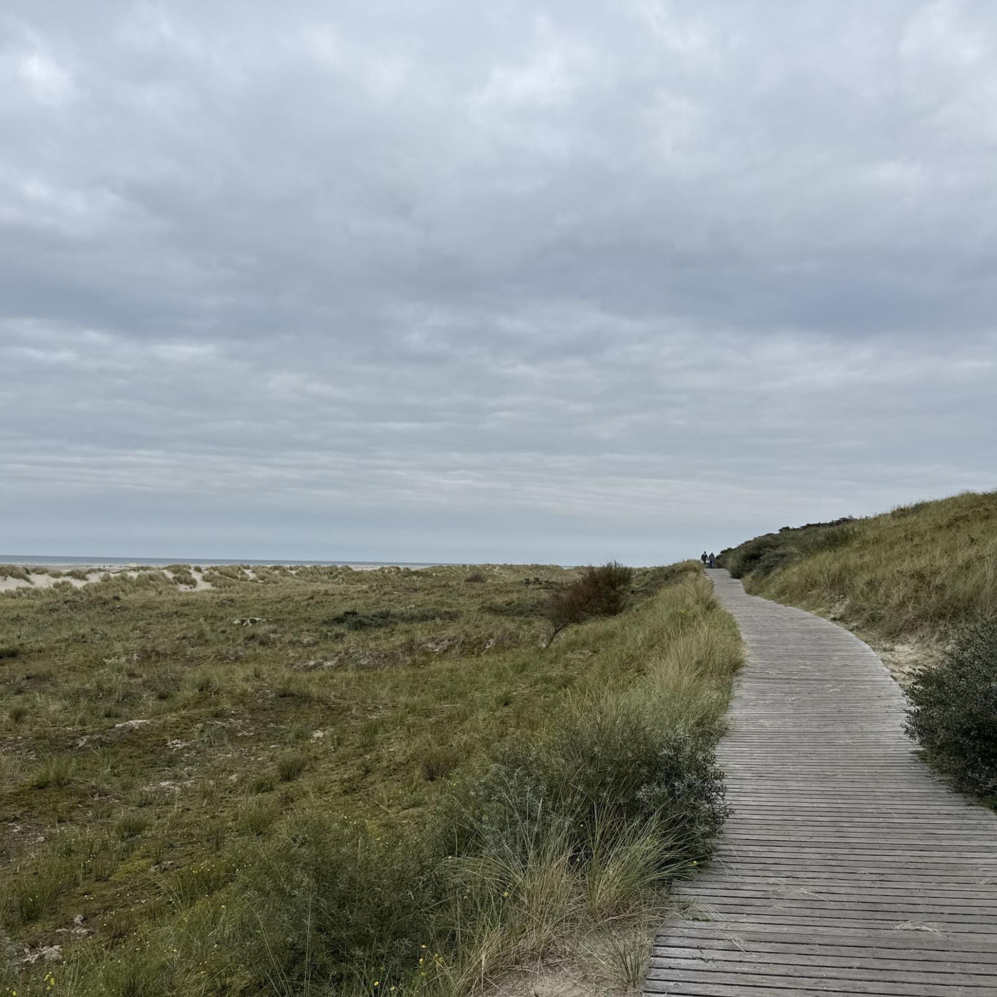
Mountain Hikes around Täsch

Mountain Hikes around Saas-Grund

Mountain Hikes around Saas Grund

Mountain Hikes around Eisten

Mountain Hikes around Saas-Balen

Mountain Hikes around Visp und Visperterminen

Mountain Hikes around Staldenried
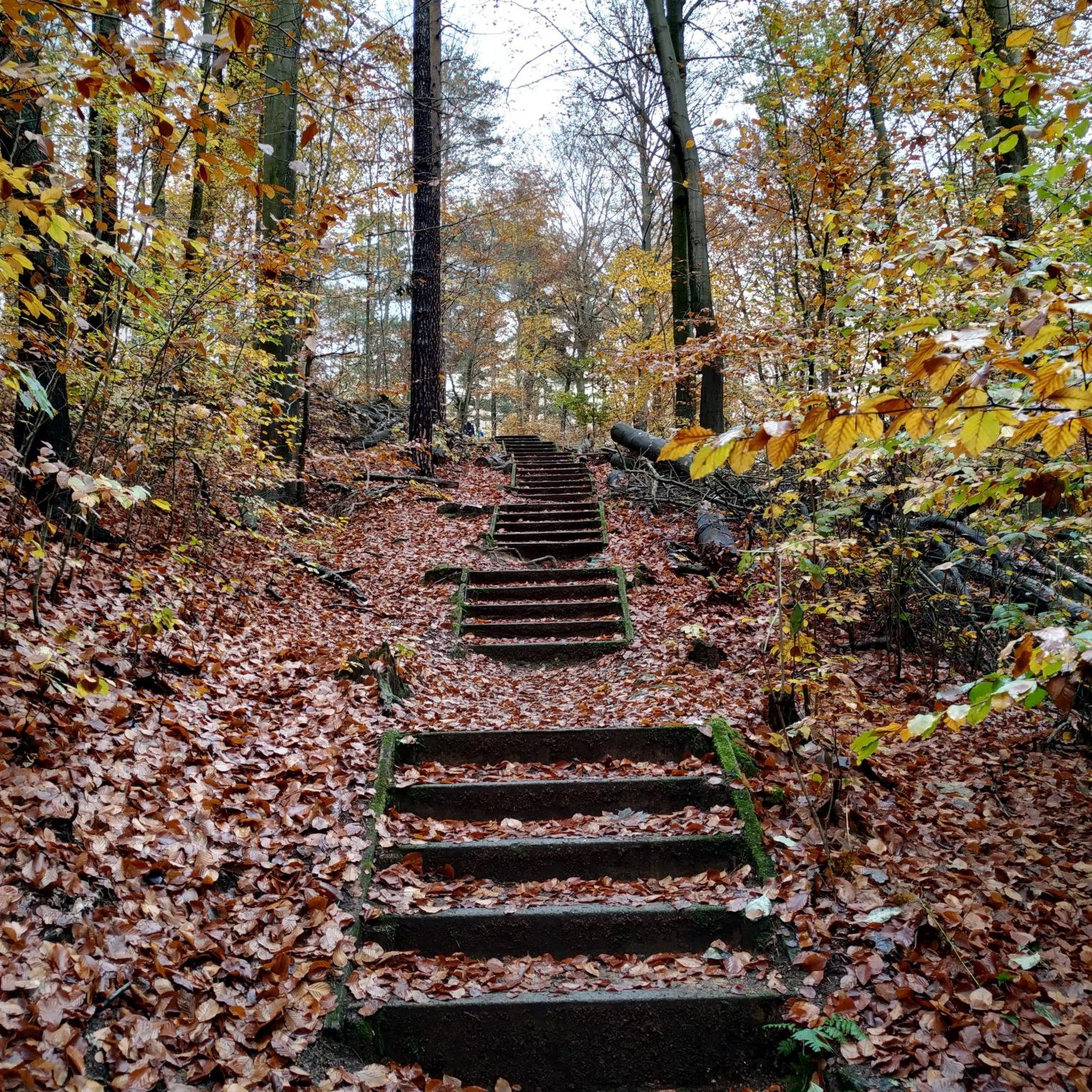
Mountain Hikes around St. Niklaus
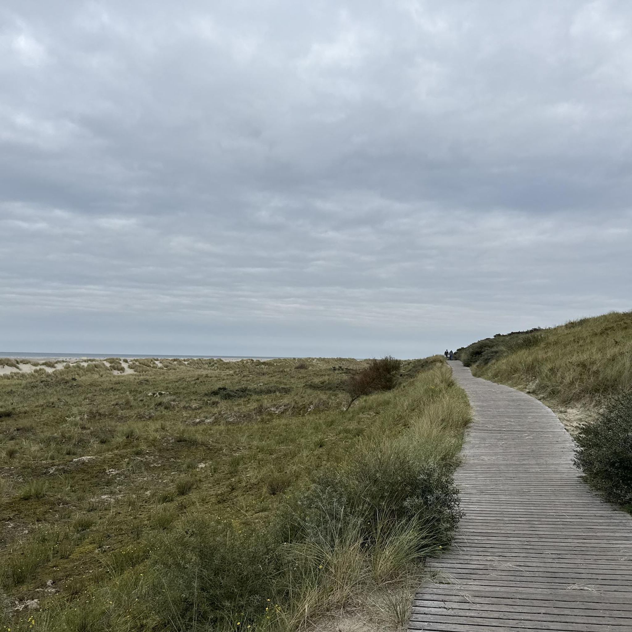
Mountain Hikes around Saas-Almagell
Other adventures in Visp


Tips from the Community

Hirli (2780 m) forms the transition between the high-alpine glacier world at the Matterhorn and the hiking trails towards Schwarzsee and Zermatt. Here, the Hörnliweg and the Matterhorn Glacier Trail meet. Directly next to it is the mountain station of the Hirli-Bahn (Joscht–Hirli), which in winter is part of the Zermatt ski area. A special eye-catcher is the stele of Sri Chinmoy Peace Mountain, which honors the Matterhorn as a symbol of peace, beauty, and the connecting power of nature. From Hirli, an impressive view opens up once again back to the Matterhorn and over the glacier landscape. At the same time, the signposts indicate the further descent via Schwarzsee and later down to Zermatt.
0
0
The most spectacular section of the approach to the Hörnlihütte begins with the actual Hörnliweg. The path quickly gains height via narrow rock ledges, metal walkways embedded in the rock, and stairs. Far below your feet, the glacier landscape stretches out, while the Matterhorn appears mightier with every step. A signpost along the path reminds you with the words "Fear God and give Him glory!" to approach the mighty mountain world with respect and humility. Nevertheless, the technically well-developed path requires sure-footedness, a head for heights, and concentration – and rewards you with one of the most impressive approaches in the Alps.
0
0


very beautiful crossing of the Lyskamm... spent a few days on the roof of Switzerland in good company. The welcome is incredible at the Margherita hut and the food is top-notch
0
0
pretty here, very pretty
3
0
Frequently Asked Questions
How many mountaineering routes are available in Visp?
There are nearly 100 mountaineering routes around Visp, offering diverse high-alpine experiences. The vast majority, about 70, are classified as difficult, with 27 moderate options and a few easier trails.
What kind of terrain can I expect on mountaineering routes near Visp?
Mountaineering routes in Visp primarily feature high-alpine landscapes, glacial environments, and steep mountain ascents. You'll encounter challenging terrain leading to four-thousand-meter peaks and through impressive glacial areas, characteristic of the Valais Alps.
Are there any routes that offer views of the Matterhorn?
Yes, several routes provide stunning views of the Matterhorn. For example, the difficult route Great views of the Matterhorn – View of the Matterhorn loop from Schwarzsee offers continuous vistas of this iconic peak.
Are there any mountaineering routes that include a via ferrata?
Yes, for those looking for a via ferrata experience, the difficult route Jegihorn Via Ferrata – Jegihorn Summit loop from Jegihorn is a great option, leading to the Jegihorn Summit.
What are some notable peaks accessible from Visp for mountaineering?
Visp serves as an excellent base for accessing many of the Valais' four-thousand-meter peaks. Notable summits include the Allalinhorn, known as one of the 'easier' 4000m peaks, and the challenging Monte Rosa massif, which includes Switzerland's highest peak, the Dufourspitze. The Matterhorn, while accessed from Zermatt, is also a major draw in the region.
Are there any mountain huts along the routes for overnight stays or breaks?
Yes, some mountaineering routes provide access to mountain huts. For instance, the difficult route Weissmieshütte – Lagginhorn Summit loop from Jegihorn leads to the Weissmieshütte, and the Rotenboden Station – Monte Rosa Hut loop from Rotenboden takes you to the Monte Rosa Hut, which is a common starting point for ascents in that area.
What are the best times of year for mountaineering in Visp?
The best time for mountaineering in Visp is typically during the summer months when conditions are most favorable for high-alpine routes. However, some routes may be accessible in late spring or early autumn depending on snow conditions. Winter offers opportunities for ski touring and snowshoeing, but requires specialized equipment and expertise.
What do other mountaineers say about the routes in Visp?
The mountaineering routes in Visp are highly rated by the komoot community, with an average score of 4.7 stars from over 200 reviews. Mountaineers often praise the challenging high-alpine experiences, the stunning glacial landscapes, and the access to iconic four-thousand-meter peaks.
Are there any routes that traverse glaciers?
Yes, several routes in the Visp region involve glacial terrain. The difficult route Glacier Palace – Pollux (4,092 m) loop from Klein Matterhorn is a prime example, leading through glacial environments to a four-thousand-meter peak. Another option is the Chessjen Glacier loop from Egginer.
What natural attractions can I see near the mountaineering routes?
Beyond the peaks themselves, the region offers incredible natural attractions. You can find stunning viewpoints like Riffelsee, and the area is home to the Great Aletsch Glacier, the largest glacier in the Alps. Many routes also offer views of various glaciers, such as the Bis Glacier on the View of the Bis Glacier – Climbing Route to Domhütte loop from Randa.
How can I reach the starting points of these mountaineering routes?
Visp is a significant railway hub, providing excellent public transport connections to surrounding areas like Zermatt and Saas-Fee, which are common starting points for many high-alpine routes. From these towns, cable cars or mountain railways often provide further access to higher trailheads, such as Klein Matterhorn or Rotenboden.
Are there any easier mountaineering options for beginners?
While most mountaineering routes in Visp are challenging, there are a few moderate options available, and even one route classified as easy. For those new to mountaineering, it's advisable to start with guided tours or routes with less technical difficulty and significant elevation gain, ensuring you have appropriate gear and experience for the alpine environment.
Most popular routes in Visp
Most popular attractions in Visp

Get inspired with the komoot mobile app


Didn’t find what you were looking for?
Check out more Mountain Hikes & Routes throughout Visp below and find the perfect route in your destination.
Explore more
Browse the best Mountain Hikes & Routes in other regions.
