The best cycling routes around Alliat
4.4
(106)
4,965
riders
65
rides
Touring cycling routes around Alliat traverse a mountainous landscape characterized by significant elevation changes and numerous mountain passes. The region features challenging climbs and descents, often winding through valleys and past high cols. This terrain provides a demanding environment for touring cyclists seeking routes with substantial ascents. The area's physical features are well-suited for advanced riders.
Best touring cycling routes around Alliat
- The most popular touring cycling route is Lers Pass – Col de Port loop from Tarascon-sur-Ariège, a…
Last updated: October 7, 2026
4.1
(8)
356
riders
76.6km
05:41
1,800m
1,800m
Hard bike ride. Very good fitness required. Mostly paved surfaces. Suitable for all skill levels.
4.8
(4)
223
riders
63.2km
05:02
1,810m
1,810m
Hard bike ride. Very good fitness required. Mostly paved surfaces. Suitable for all skill levels.

4.6
(5)
153
riders
94.2km
06:50
2,090m
2,090m
Hard bike ride. Very good fitness required. Mostly paved surfaces. Suitable for all skill levels.
5.0
(1)
139
riders
120km
08:16
2,160m
2,160m
Hard bike ride. Very good fitness required. Mostly paved surfaces. Suitable for all skill levels.
5.0
(1)
78
riders
129km
09:36
3,040m
3,040m
Hard bike ride. Very good fitness required. Mostly paved surfaces. Suitable for all skill levels.
Get access to more routes and recommendations from other explorers.
Already have an account?
Our route recommendations are based on thousands of hikes, rides, and runs completed by other people on komoot.
Start today with a free account
Your next adventure awaits.


Tips from the Community

Difficult climb for the last 3 km with a maximum gradient of 18%. You need suitable gearing, 34/34 is good. And be in shape!!!
0
0
It is located at an altitude of 1,264 m. In the commune of Le Port, it is situated between the port of Lers and the Col d'Agnes.
0
0

Le col de Port is the first pass I did in the Pyrenees. You can climb it via a regular road (official road), or an even more pleasant small road. And the view at the summit is well worth the climb!
0
0
The arrival at the Col de Port is top!!
0
0

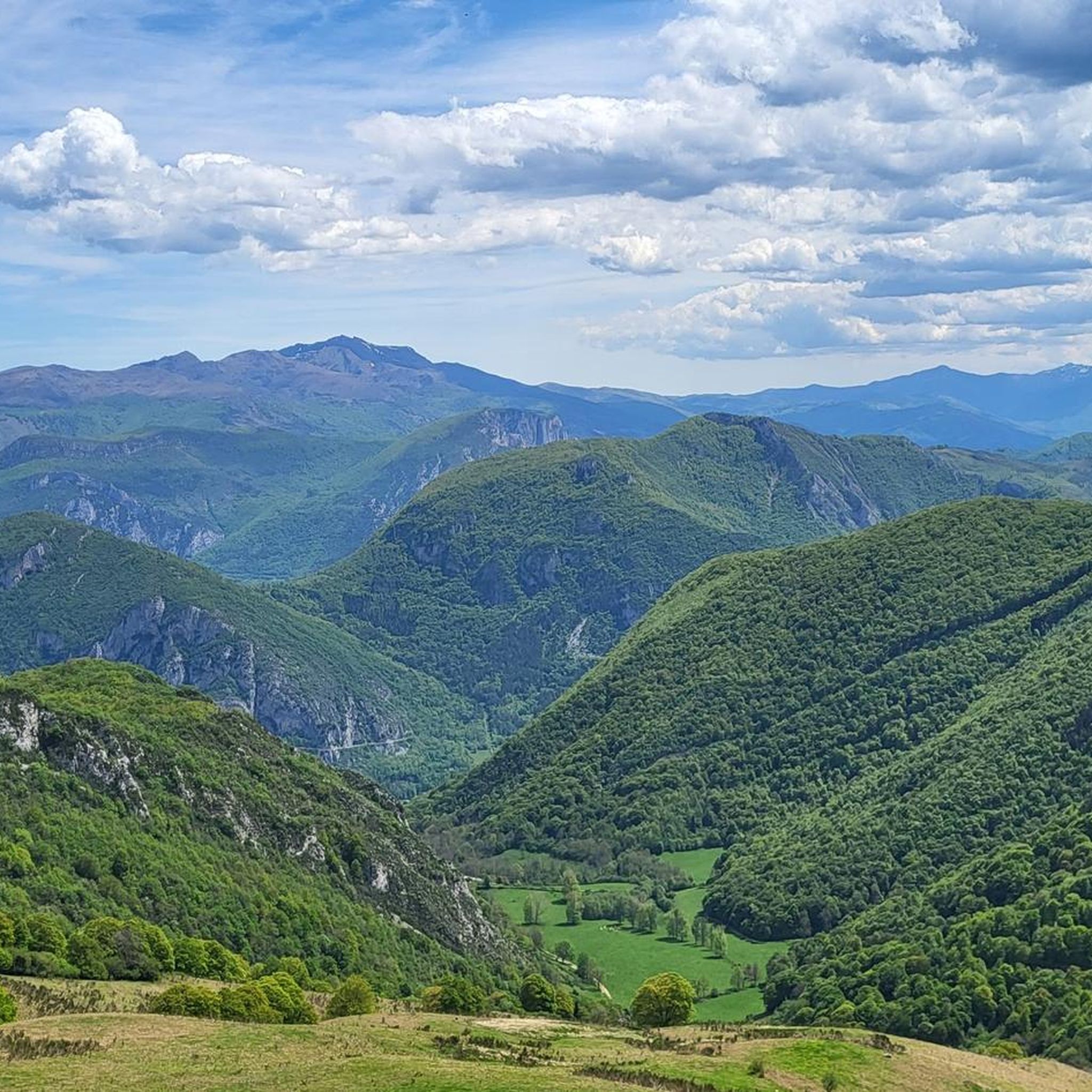
Superb high-altitude alpine meadows! It's worth the effort
0
0
The hardest part is done!
0
0
Nice village, especially the starting point for beautiful bike rides. And then stop by the grocery store for a homemade apple tart, the best I've ever eaten!
0
0
The start begins strong, it sets the tone: a climb with a nice slope, but not extreme either!
0
0
Frequently Asked Questions
How many touring cycling routes are available around Alliat?
There are over 50 touring cycling routes recorded around Alliat on komoot, offering a wide range of options for cyclists. These routes are primarily characterized by significant elevation changes and mountain passes, suitable for those seeking a challenging ride.
What is the best time of year for touring cycling in Alliat?
Given the mountainous terrain and high passes, the best time for touring cycling in Alliat is typically from late spring through early autumn (May to October). During these months, the weather is generally more stable, and the higher passes are clear of snow, providing optimal conditions for challenging ascents and descents.
Are there any easy touring cycling routes suitable for beginners or families in Alliat?
While Alliat is known for its challenging mountain routes, there are a few easier options available. Komoot lists 4 easy routes and 12 moderate routes. These routes generally feature less extreme elevation changes, making them more accessible for beginners or families looking for a less strenuous ride. For example, you might find routes that stick to valley floors or lower elevations.
What kind of terrain can I expect on touring cycling routes around Alliat?
The terrain around Alliat is predominantly mountainous, featuring demanding climbs over numerous high mountain passes and winding descents through deep valleys. Cyclists should expect significant elevation changes throughout their rides, making the area particularly well-suited for advanced riders seeking a physical challenge.
What are some notable landmarks or attractions I can see along the touring cycling routes?
Many routes in the Alliat area pass by interesting historical and natural sites. You might encounter the historic town of Tarascon-sur-Ariège, the impressive Devil's Bridge, or the scenic Notre-Dame de Sabart Chapel. Some routes also offer views of significant climbs like the Plateau de Beille Climb or historical sites such as Miglos Castle.
Are there any circular touring cycling routes in the Alliat area?
Yes, many of the touring cycling routes around Alliat are designed as loops, allowing you to start and finish in the same location. Examples include the challenging Lers Pass – Col de Port loop from Tarascon-sur-Ariège, the extensive Col de Montségur – Col de Marmare (1361 m) loop from Tarascon-sur-Ariège, and the scenic Arnave – Col de Marmare (1361 m) loop from Tarascon-sur-Ariège.
What should I bring for a touring cycling trip in Alliat?
Given the mountainous and often remote nature of the routes, it's essential to be well-prepared. We recommend bringing sufficient water and snacks, appropriate cycling gear for varying weather conditions (layers are key), a repair kit, a first-aid kit, and a fully charged phone. Navigation tools, such as the komoot app, are also highly recommended due to the complex terrain.
What do other touring cyclists say about the routes in Alliat?
The touring cycling routes in Alliat are highly regarded by the komoot community, with an average rating of 4.4 stars from over 50 reviews. Cyclists frequently praise the challenging ascents, the stunning panoramic views from mountain passes, and the sense of accomplishment after completing a demanding ride through this beautiful region.
Are there any touring cycling routes that are less crowded?
While popular routes like the Lers Pass – Col de Port loop attract many cyclists, exploring some of the less-trafficked paths can offer a more solitary experience. Consider routes that venture further into the less populated valleys or those that are slightly longer, such as the Tarascon-sur-Ariège – Devil's Bridge loop, which can provide a quieter ride while still offering significant challenges and scenery.
How long do the touring cycling routes typically take to complete?
The duration of routes in Alliat varies significantly based on distance, elevation gain, and individual fitness levels. For example, the Col de Port – The High Line loop, at 35.8 km, might take around 2 hours 40 minutes, while longer and more challenging routes like the Col de Montségur – Col de Marmare (1361 m) loop, spanning 120 km with over 2000m of ascent, can take upwards of 8 hours to complete.
Is public transport available to access touring cycling routes in Alliat?
Accessing some touring cycling routes in Alliat via public transport can be challenging due to the region's mountainous and rural nature. Tarascon-sur-Ariège, a common starting point for many routes, has a train station, which can be a good option for reaching the area. However, direct public transport links to specific trailheads in more remote areas might be limited, so planning your logistics, including potential transfers or car use, is advisable.
Most popular routes around Alliat
Most popular attractions around Alliat

Get inspired with the komoot mobile app


Explore more
Browse the best Cycling routes in other regions.
