The best running trails in Werdenberg
4.5
(45)
2,353
runners
254
runs
Jogging routes in Werdenberg traverse a diverse landscape in Eastern Switzerland, characterized by the Rhine Valley, framed by the Churfirsten panorama and the Alps. The region offers varied terrain, from flat stretches along the Rheindamm to challenging mountain ascents towards peaks like Alvier. Natural features include serene lakes such as Lake Werdenberg and the idyllic Voralpsee, alongside plateaus and unique high moorlands. This combination provides a range of running experiences for different fitness levels.
Best jogging routes in Werdenberg
- The…
Last updated: July 23, 2026
4.0
(2)
134
runners
Moderate run. Good fitness required. Mostly paved surfaces. Suitable for all skill levels.
135
runners
12.6km
02:07
1,020m
1,020m
Hard run. Very good fitness required. Mostly paved surfaces. Suitable for all skill levels.

Sign up for free
4.0
(1)
48
runners
10.7km
01:17
400m
400m
Hard run. Very good fitness required. Mostly paved surfaces. Suitable for all skill levels.
36
runners
10.6km
01:06
40m
40m
Moderate run. Good fitness required. Mostly paved surfaces. Suitable for all skill levels.
27
runners
11.4km
01:11
50m
50m
Moderate run. Good fitness required. Mostly paved surfaces. Suitable for all skill levels.
5.0
(2)
29
runners
10.6km
01:06
30m
30m
Moderate run. Good fitness required. Mostly paved surfaces. Suitable for all skill levels.
4.0
(2)
30
runners
10.0km
01:03
80m
80m
Moderate run. Good fitness required. Mostly paved surfaces. Suitable for all skill levels.
3.0
(3)
33
runners
7.75km
00:48
20m
20m
Moderate run. Good fitness required. Mostly paved surfaces. Suitable for all skill levels.
5.0
(1)
32
runners
18.5km
03:36
1,510m
1,510m
Hard run. Very good fitness required. Sure-footedness, sturdy shoes and alpine experience required.
28
runners
9.35km
01:04
200m
200m
Moderate run. Good fitness required. Mostly paved surfaces. Suitable for all skill levels.
Get access to more routes and recommendations from other explorers.
Sign up for free
Already have an account?
Our route recommendations are based on thousands of hikes, rides, and runs completed by other people on komoot.
Start today with a free account
Your next adventure awaits.
Login or Signup
Popular around Werdenberg
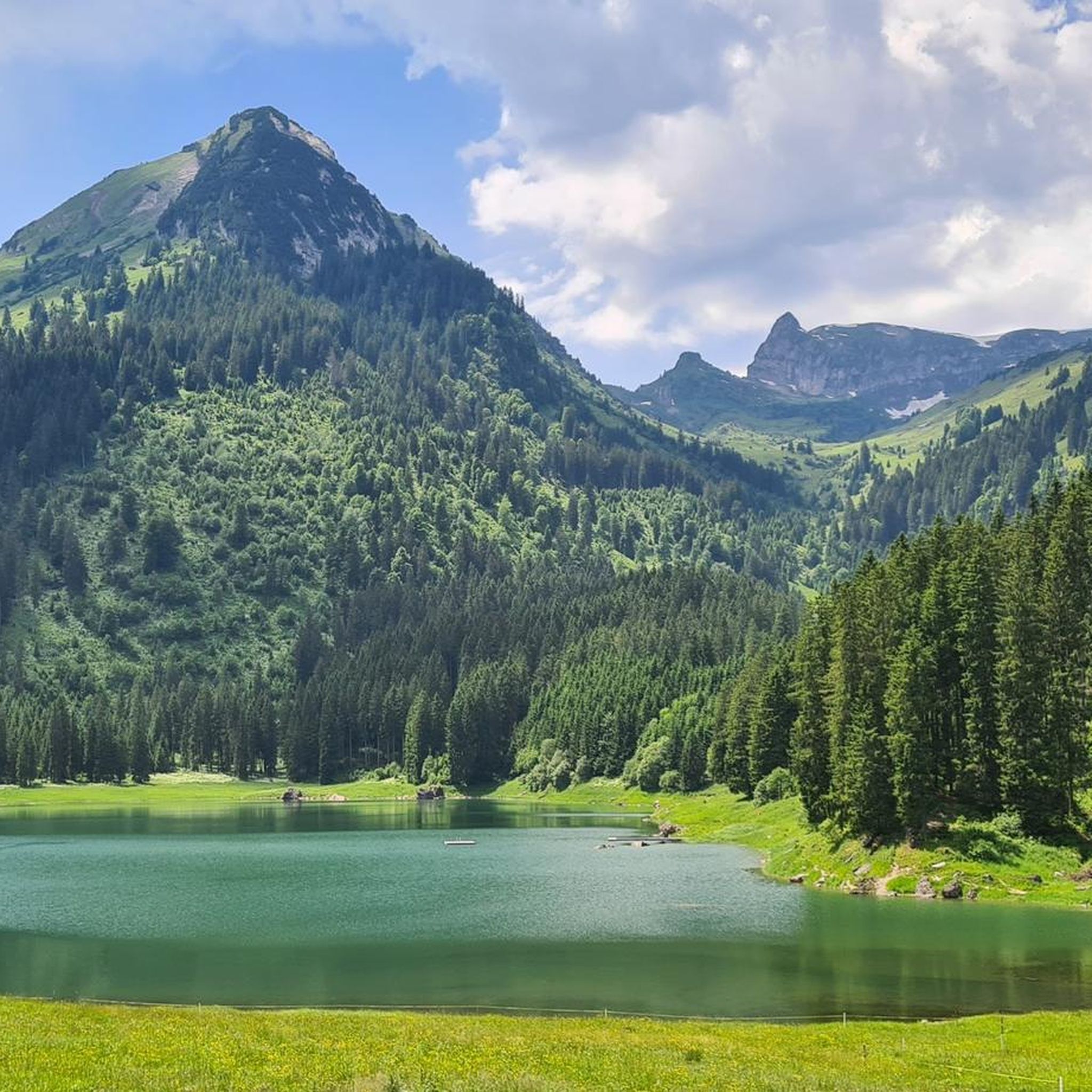
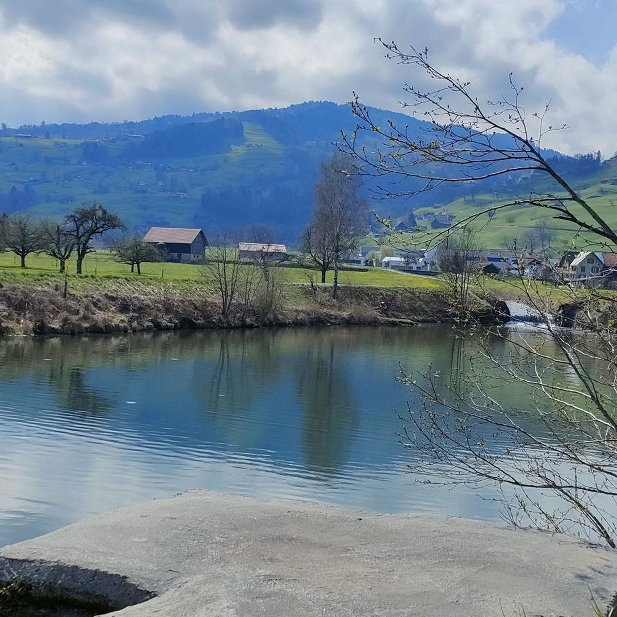
Running Trails around Voralpsee
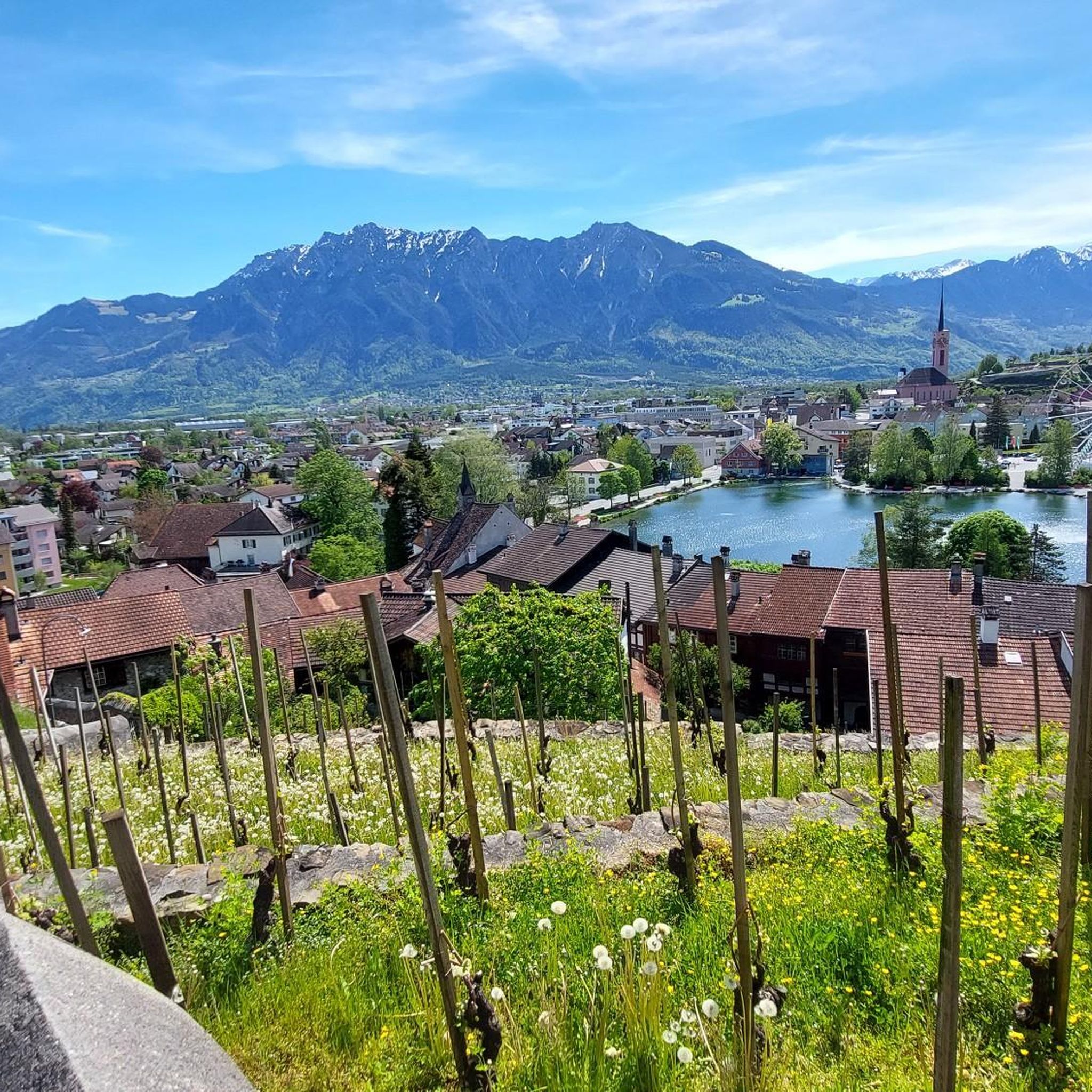
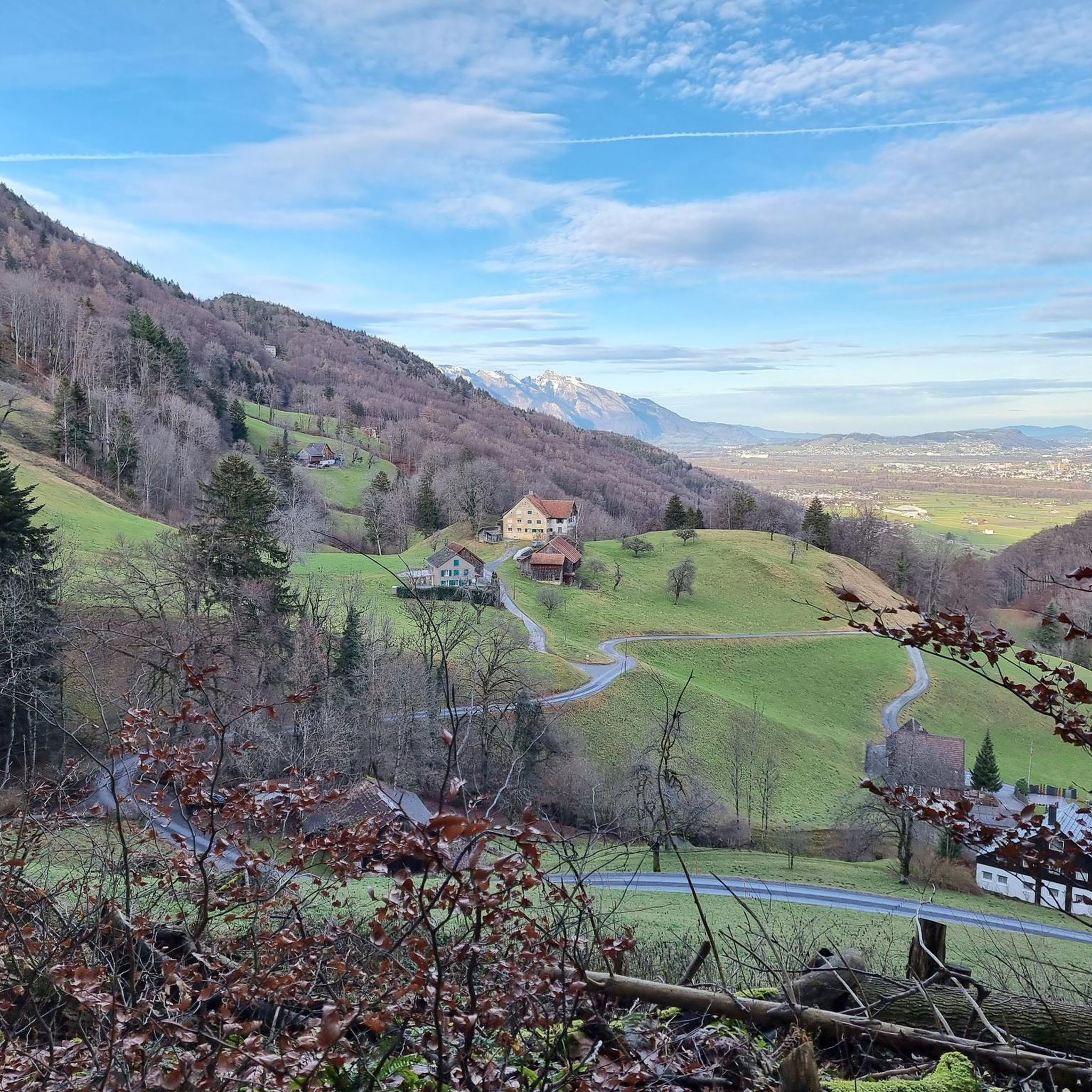
Running Trails around Grabs
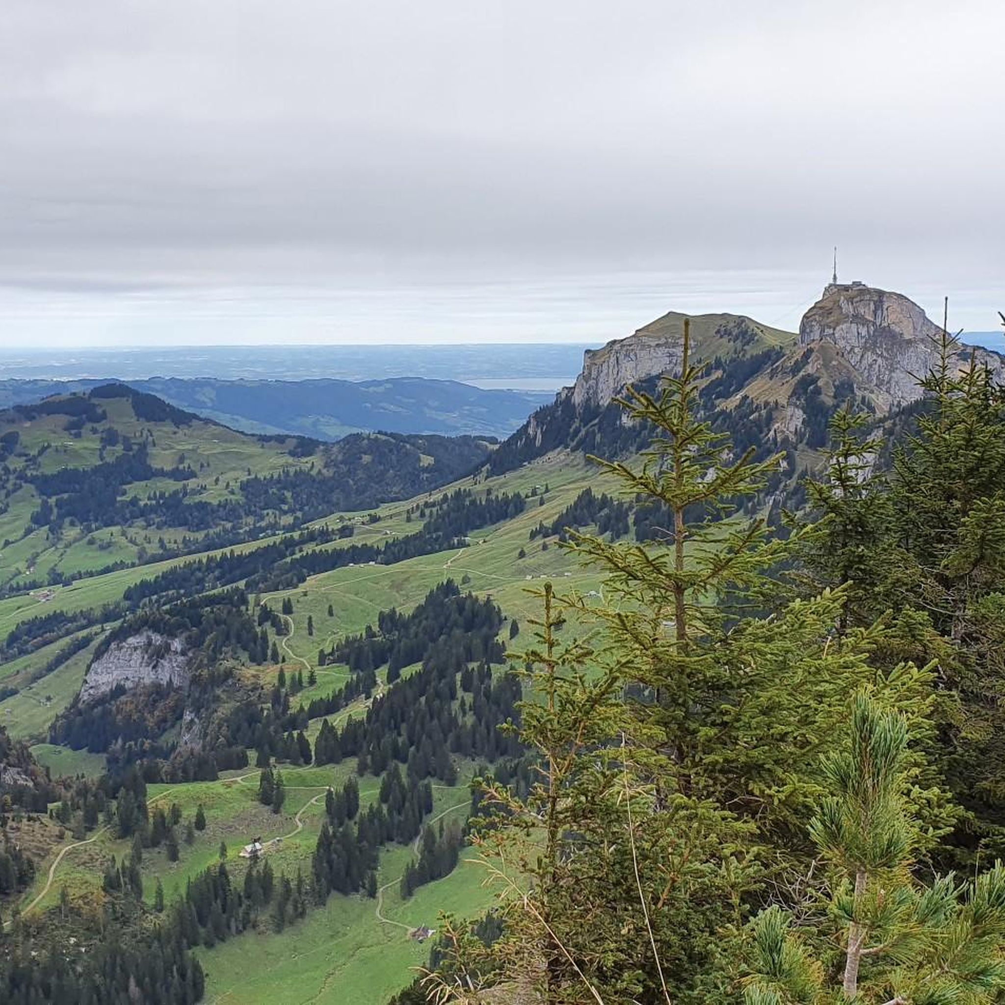
Running Trails around Sennwald
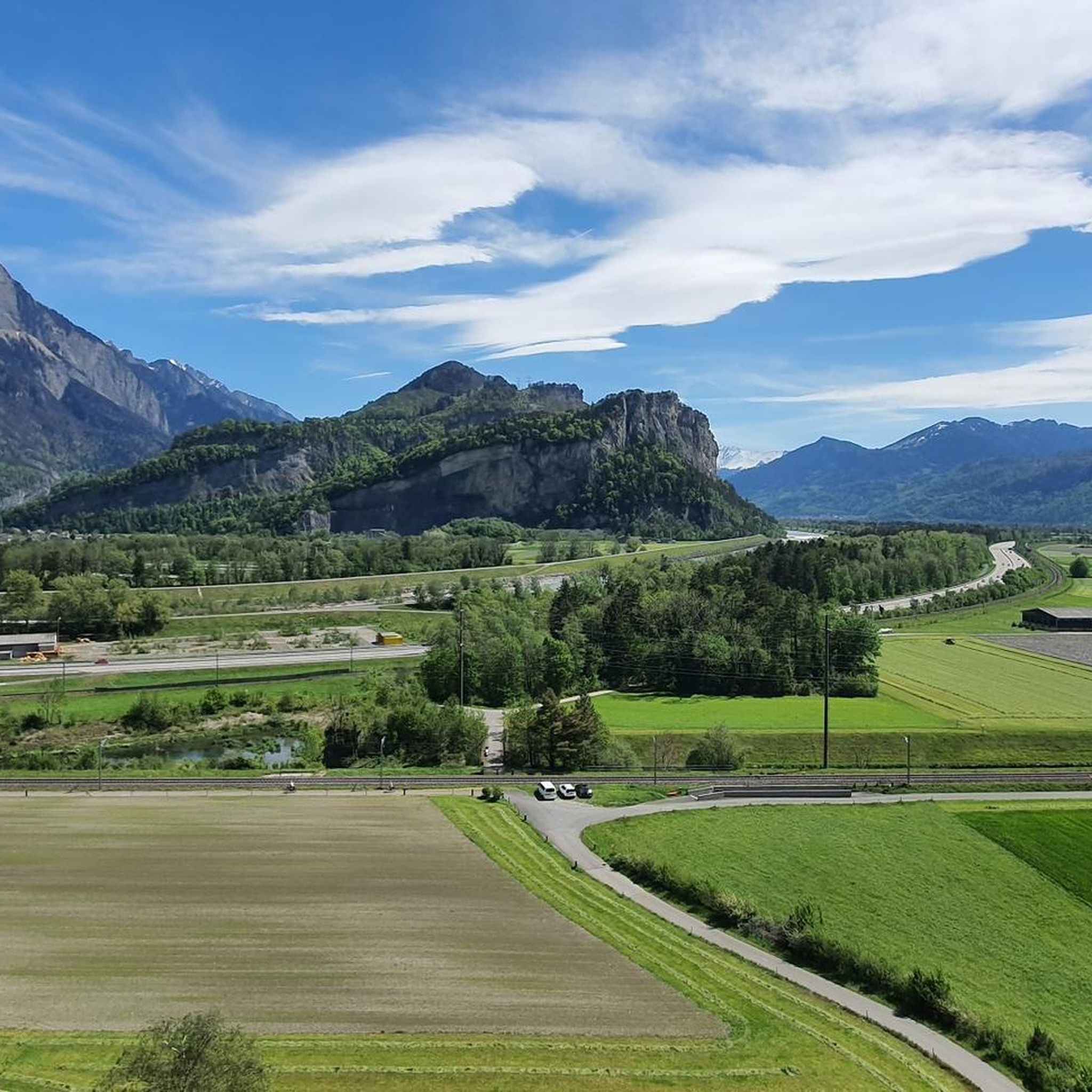
Running Trails around Wartau
Running Trails around Gams
Running Trails around Sevelen
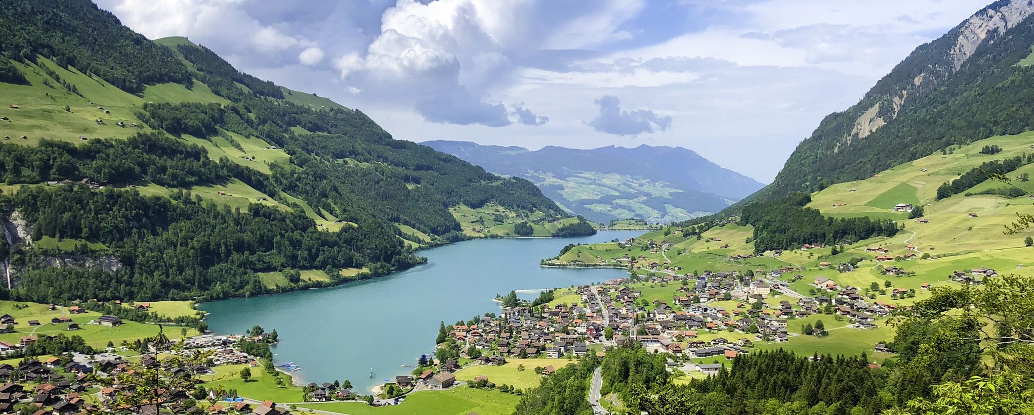
The Lakes Route – Picture-postcard views in the Swiss alpine foothills

The Rhine Cycle Path — From the source to the North Sea

Lake and Alps Adventure – explore 100 dreamy places in our cycling region!
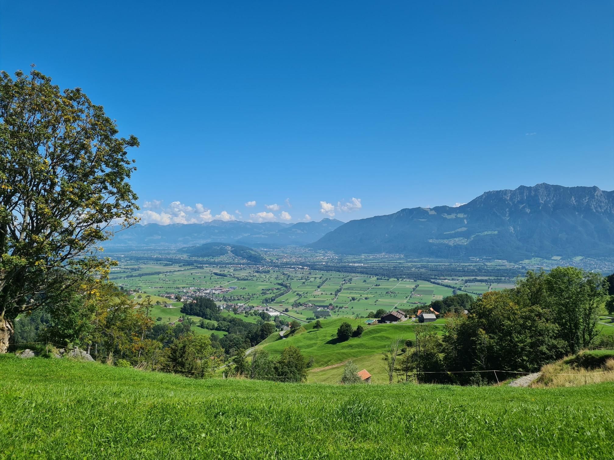
Cycle across north-east Switzerland – Thur Route
Other adventures in Werdenberg


Tips from the Community

The Saxer Lücke (approx. 1,670 m above sea level) is a striking rocky notch in the Alpstein between the cantons of Appenzell Innerrhoden and St. Gallen. It is one of the best-known viewpoints in Eastern Switzerland and offers a spectacular view of the jagged rock peaks, the Rhine Valley, and the Vorarlberg Alps. The Saxer Lücke is accessible via well-maintained mountain hiking trails, including from the Staubern mountain inn or from Frümsel. The traverse between Staubern and Hohen Kasten is particularly popular. In summer, the impressive landscape and alpine flora are a draw, while in autumn, seas of fog in the Rhine Valley often create unforgettable panoramas.
6
0

Barbecue area with wood supply available.
0
0


great cycle path - wide, well paved and just straight ahead
0
0

Nice barbecue area with firewood provided.
1
0
Below the main road, the Mühlbach continues with Messerschmitts, corn mill and bone crusher
1
0

From the Rhine Valley "Frümsen" directly into the Alpstein, to the "Berggasthaus Staubern" The route starts in the heart of the St. Gallen Rhine Valley, in Frümsen, right next to the artistic, nut-shaped valley station of the Staubern cable car. In a curved arc, it goes first on a field road, later on a mountain path steadily uphill. More than 1200 meters in altitude are overcome. Around two thirds of the mountain hike leads through wooded areas, pleasantly shady. After about 2½ hours you reach the "Frümsner Alp" Vorderalp, after which the trees become increasingly sparse. Despite seductive views down into the Rhine Valley, it is important to concentrate again on the last stretch of the path to the Staubernfirst, as the terrain drops very steeply. From the Staubernfirst it is not far to the Berggasthaus Staubern. The fine Appenzell and Rheintal specialties, the view and finally the leisurely descent into the valley on the world's first energy-independent and environmentally neutral mountain railway make up for the effort of the ascent. Tip: Despite the many meters of altitude, we/I recommend doing the tour uphill for the sake of your knees. Text / Source/ Appenzellerland Tourismus AI, Hauptgasse 38, CH-9050 Appenzell https://www.appenzell.ch/de/alpstein/wandern/wandervorschlaege.html?tx_wstourismus_tourismus%5Baction%5D=show&tx_wstourismus_tourismus%5Btour%5D=75&cHash=bee82ed1651b50746f7453212a33f625
14
0

Coming from Mutschen, after the Saxer Lücke, the path goes steeply up to the ridge... the view of the Kreuzberge is very impressive...
5
0
Frequently Asked Questions
How many running routes are available in Werdenberg?
Werdenberg offers a wide selection of running routes, with over 260 trails available on komoot. This includes a diverse range of options, from easy valley runs to challenging mountain ascents, catering to various fitness levels.
What kind of terrain can I expect on Werdenberg's running trails?
The region boasts a highly varied landscape. You'll find flat stretches along the Rhine Valley, particularly on the Rheindamm Cycle Path, serene lakeside paths around Voralpsee and Lake Werdenberg, and challenging mountain trails leading to peaks like Alvier and Gamserrugg. There are also unique natural features such as the Gamperfiner Hochmoor and the Palfries plateau.
Are there easy running routes suitable for beginners in Werdenberg?
Yes, Werdenberg has approximately 15 easy running routes, perfect for beginners or those looking for a relaxed jog. These often follow flatter terrain, such as paths along the Rhine Valley or around the lakes.
What do other runners think about the trails in Werdenberg?
The running routes in Werdenberg are highly regarded by the komoot community, holding an average rating of 4.4 stars from over 40 reviews. Runners frequently praise the diverse landscapes and well-maintained paths.
Are there any circular running routes in Werdenberg?
Many of the routes in Werdenberg are designed as loops, offering convenient circular running experiences. For example, the Running loop from Grabs and the Chisfang loop from Buchs SG are popular moderate options that bring you back to your starting point.
Can I find running routes with scenic viewpoints or natural features?
Absolutely. Werdenberg is rich in scenic beauty. You can find trails with breathtaking views of the Churfirsten panorama and the Alps. Highlights include the Palfries Plateau, the tranquil Voralpsee, and the impressive Saxer Lücke. The Alpeek Peak – Saxerlücke loop from Hoher Kasten offers extensive alpine vistas.
Are there any running trails that pass by historical landmarks?
While many routes focus on natural landscapes, the historic village of Werdenberg, with its medieval timber-frame houses and Werdenberg Castle, offers a unique backdrop. A delightful pathway, including steps and vineyards, leads up to the castle, providing an engaging route for a shorter, more historical jog.
Are there any running routes that are particularly challenging?
For experienced runners seeking a challenge, Werdenberg offers several difficult routes with significant elevation gain. The Gamperney Mountain Run Finish loop from Grabs is a difficult 7.8-mile path with over 1000 meters of ascent, providing a true mountain running experience.
When is the best time of year to go jogging in Werdenberg?
Werdenberg is suitable for jogging through much of the year. Spring and autumn offer pleasant temperatures and beautiful scenery, with fewer crowds. Summer is ideal for higher alpine routes, while winter can be challenging due to snow and ice, though lower valley routes might still be accessible.
Are there any running routes that are suitable for families?
Many of the easier, flatter routes along the Rhine Valley or around Lake Werdenberg are suitable for families. The Palfries plateau is also known as a 'sun terrace' with numerous hiking trails that can be adapted for family-friendly jogging, offering varying difficulties.
Can I find running routes near public transport access points?
Yes, several routes are accessible from towns like Buchs SG and Grabs, which have public transport connections. For instance, the Werdenbergstrasse – Buchs Train Station loop from Buchs SG starts conveniently near the train station.
Most popular routes in Werdenberg
Most popular attractions in Werdenberg

Get inspired with the komoot mobile app


Didn’t find what you were looking for?
Check out more Running Trails & Routes throughout Werdenberg below and find the perfect route in your destination.
Explore more
Browse the best Running Trails & Routes in other regions.
