The best mountain hikes in Werdenberg
4.8
(34)
262
hikers
18
hikes
Mountaineering routes in Werdenberg, located in the canton of St. Gallen, Switzerland, traverse diverse alpine landscapes. The region features prominent peaks like Alvier and Mutschen, alongside scenic mountain passes such as Saxer Lücke. The terrain includes challenging ascents, broad mountain ridges, and picturesque valleys, offering varied conditions for mountaineers.
Best mountaineering routes in Werdenberg
- The most popular mountaineering route is Staubern Mountain Inn – Bollenwees Mountain Inn loop from Staubernkanzel, a 5.1 miles (8.2 km) trail that takes 3…
Last updated: September 26, 2026
4.6
(15)
36
hikers
8.15km
03:18
390m
400m
Moderate mountaineering route. Good fitness required. Mostly accessible paths. Sure-footedness required.
4.7
(3)
22
hikers
5.89km
03:31
600m
600m
Hard mountaineering route. Good fitness required. Sure-footedness, sturdy shoes and alpine experience required.

5.0
(6)
50
hikers
8.68km
05:08
940m
940m
Hard mountaineering route. Very good fitness required. Sure-footedness, sturdy shoes and alpine experience required.
20
hikers
13.1km
06:37
1,050m
1,060m
Hard mountaineering route. Very good fitness required. Sure-footedness, sturdy shoes and alpine experience required.
4.0
(2)
27
hikers
12.7km
06:49
1,270m
1,270m
Hard mountaineering route. Very good fitness required. Mostly accessible paths. Sure-footedness required.
5.0
(2)
23
hikers
6.79km
02:36
250m
250m
Moderate mountaineering route. Good fitness required. Mostly accessible paths. Sure-footedness required.
5.0
(1)
14
hikers
15.3km
07:35
1,220m
1,220m
Hard mountaineering route. Very good fitness required. Sure-footedness, sturdy shoes and alpine experience required.
11
hikers
11.3km
05:37
950m
950m
Hard mountaineering route. Very good fitness required. Sure-footedness, sturdy shoes and alpine experience required.
5.0
(1)
7
hikers
13.5km
07:29
1,360m
1,360m
Hard mountaineering route. Very good fitness required. Mostly accessible paths. Sure-footedness required.
5.0
(1)
11
hikers
11.9km
07:10
1,300m
1,300m
Hard mountaineering route. Very good fitness required. Sure-footedness, sturdy shoes and alpine experience required.
Get access to more routes and recommendations from other explorers.
Already have an account?
Our route recommendations are based on thousands of hikes, rides, and runs completed by other people on komoot.
Start today with a free account
Your next adventure awaits.
Popular around Werdenberg

Mountain Hikes around Gams

Mountain Hikes around Grabs

Mountain Hikes around Voralpsee

Mountain Hikes around Sennwald
Mountain Hikes around Sevelen
Mountain Hikes around Wartau
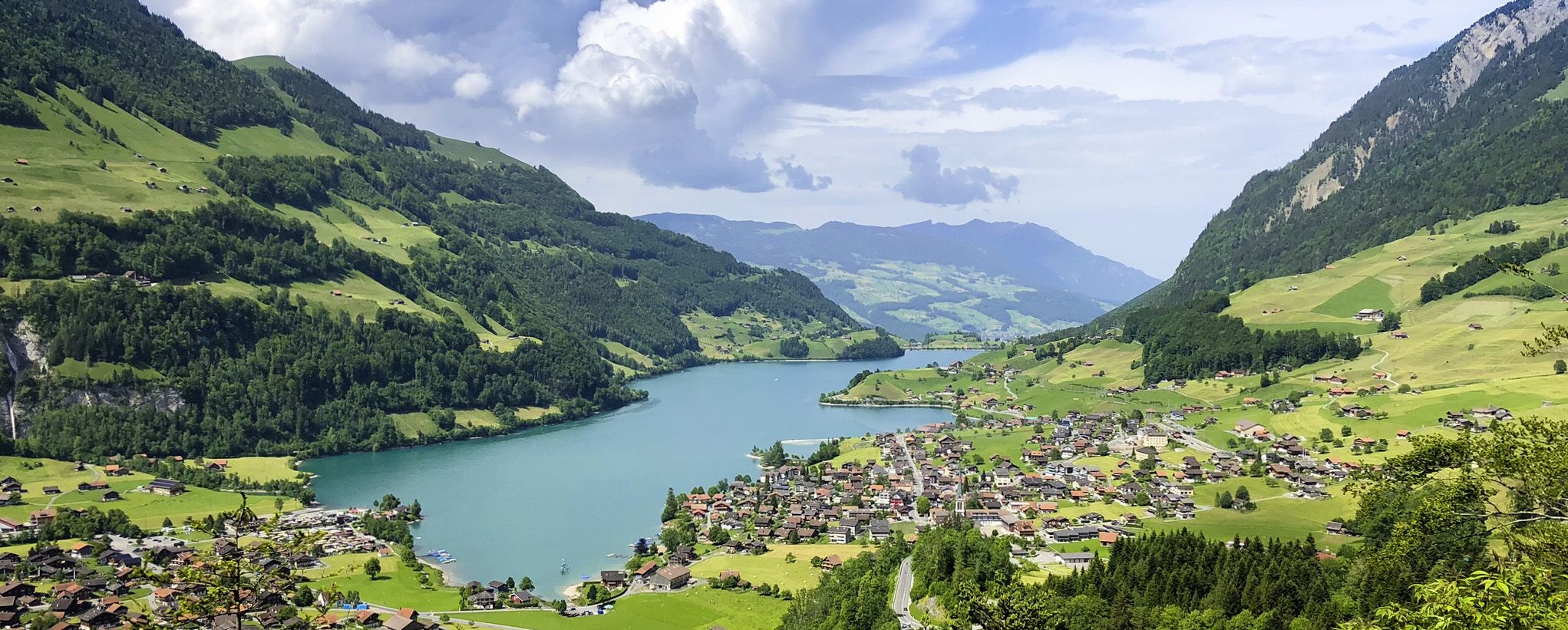
The Lakes Route – Picture-postcard views in the Swiss alpine foothills

The Rhine Cycle Path — From the source to the North Sea

Lake and Alps Adventure – explore 100 dreamy places in our cycling region!
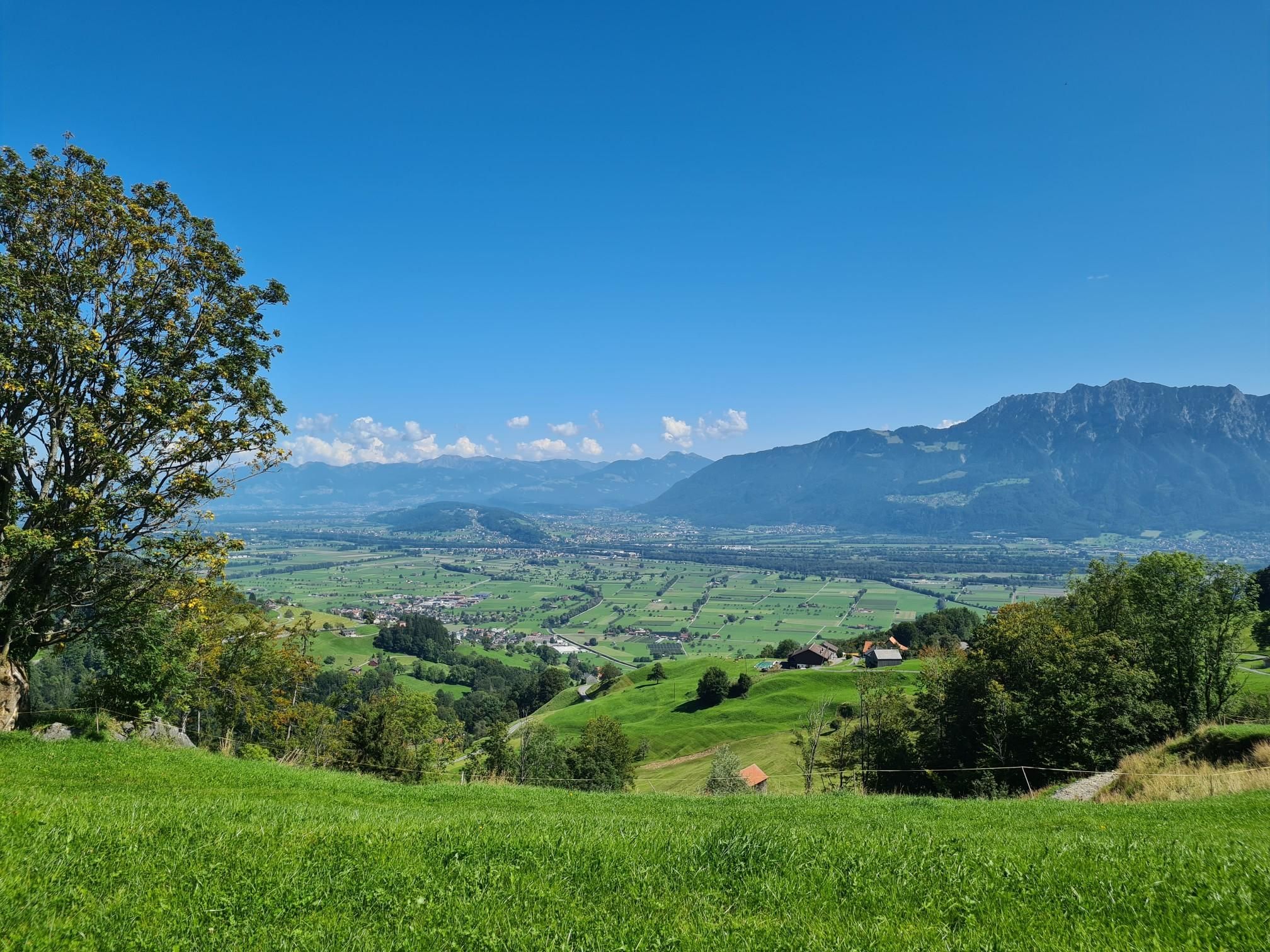
Cycle across north-east Switzerland – Thur Route
Other adventures in Werdenberg


Tips from the Community

Great view of the Rhine valley and the Alpstein.
0
0

The Saxer Lücke (approx. 1,670 m above sea level) is a striking rocky notch in the Alpstein between the cantons of Appenzell Innerrhoden and St. Gallen. It is one of the best-known viewpoints in Eastern Switzerland and offers a spectacular view of the jagged rock peaks, the Rhine Valley, and the Vorarlberg Alps. The Saxer Lücke is accessible via well-maintained mountain hiking trails, including from the Staubern mountain inn or from Frümsel. The traverse between Staubern and Hohen Kasten is particularly popular. In summer, the impressive landscape and alpine flora are a draw, while in autumn, seas of fog in the Rhine Valley often create unforgettable panoramas.
6
1

The passage of the Roslen-Saxer First saddle is something very special. It resembles a high plateau more than anything. At an altitude of 2150 meters, you walk through an endless meadow of flowers and are almost overwhelmed by the mighty panorama of the karst neighbors. As gentle and peaceful as the walk on the saddle is, the descent through blueberry bushes and mountain pines down to the Saxer Lücke is all the steeper. For me, a secret tip where you are completely alone.
0
0

40.- francs for a return trip is not exactly cheap. Especially since there is no 1/2 Halbtax discount. Even those who just want to eat something at the mountain guesthouse receive no discount.
1
0

Beautiful imposing path with a magnificent view of the Saaxer Lücke and the Reitergrad and surrounding geology. Surefootedness required. Acrophobia is essential here.
0
0

The Berghaus Palfries is located at an altitude of 1,700 meters on the Palfries plateau. A large parking area for hikers is located next to the restaurant, and the mountain station of the cable car is just a few steps away. Enjoy a hearty meal or a refreshing drink while taking in the wonderful views of the Sarganserland region – before or after your hike on the plateau. More information about the inn can be found here: https://www.palfries.ch/berghauspalfries.
0
0

A truly fantastic hike. Recommended when visibility is good; magnificent views. Well-maintained hiking trails, steep ascent but easy descent.
0
0

Stairs are also easy for dogs to use, at least going up.
0
0
Frequently Asked Questions
What types of mountaineering routes can I find in Werdenberg?
Werdenberg offers a diverse range of mountaineering routes, from moderate ascents to challenging summit paths. The region features prominent peaks like Alvier and Mutschen, alongside scenic mountain passes such as Saxer Lücke, providing varied conditions for mountaineers.
Are there any circular mountaineering routes in Werdenberg?
Yes, several routes offer a circular experience. For example, the Staubern Mountain Inn – Bollenwees Mountain Inn loop from Staubernkanzel is a moderate 8.2 km trail. Another option is the challenging Alvier Summit Hut – Alvier Summit loop from Gauschla, which leads to the panoramic Alvier Summit.
What are some of the more challenging mountaineering routes in the region?
For experienced mountaineers, Werdenberg offers several demanding routes. The Alvier Summit – Alvier Summit Hut loop from Wartau is a difficult 12.6 km path with significant elevation gain. Another challenging option is the Gasthaus Staubern – Staubern Mountain Inn loop from Frümsen, covering 12.5 km with over 1200 meters of ascent.
What natural features and viewpoints can I expect to see along the routes?
Mountaineering in Werdenberg offers breathtaking views. You can expect to see majestic mountain peaks like Alvier, which provides panoramic vistas stretching to Lake Walen and the Rhine Valley. The Mutschen Summit offers views of the Reinthal and the beautiful Kreuzberge, Churfirsten, and Altmann. Many routes also pass by picturesque lakes like Voralpsee and offer views of Sämtisersee and the Alpstein Mountains.
Are there any waterfalls or lakes to discover near the mountaineering trails?
Yes, the Werdenberg region is home to several beautiful waterfalls and lakes. You might encounter the Simmi Waterfall or the Waterfall on the Ascent. The idyllic Voralpsee is a notable lake in the area, and you can also find the Sämtisersee, a karst lake, along some routes.
When is the best time of year for mountaineering in Werdenberg?
The best time for mountaineering in Werdenberg is typically during the warmer months, from late spring to early autumn, when trails are clear of snow and weather conditions are more stable. Always check local weather forecasts and trail conditions before heading out, especially for higher elevations.
How accessible are the mountaineering trailheads by public transport?
Werdenberg has various trailheads, and some are accessible by public transport. While specific public transport details for each trailhead vary, the region is generally well-connected within Switzerland. It's advisable to check local bus and train schedules for the specific starting point of your chosen route.
What do other mountaineers enjoy most about the routes in Werdenberg?
The mountaineering routes in Werdenberg are highly rated by the komoot community, with an average score of 4.9 stars from over 20 reviews. Mountaineers frequently praise the stunning panoramic views from peaks like Alvier and Mutschen, the diverse alpine landscapes, and the rewarding challenge of the trails.
Are there any routes that pass by mountain inns or places to rest?
Yes, some routes offer opportunities to stop at mountain inns. For instance, the Staubern Mountain Inn – Bollenwees Mountain Inn loop from Staubernkanzel connects two mountain inns. The broad Alvier and its hut also invite visitors to linger and enjoy the scenery, as seen on routes like the Alvier Summit Hut – Alvier Summit loop from Gauschla.
Can I find any routes that offer views of the Saxer Lücke?
Absolutely. The Saxer Lücke is a notable mountain pass and a highlight for hikers. The Path to Saxerlücke – Saxer Lücke loop from Burgruine Hohensax is a 10.1 km trail that leads through this scenic alpine pass. Another option is the Staubern Mountain Inn – Saxer Lücke loop from Sämtisersee.
How many mountaineering routes are available in Werdenberg?
There are over 18 mountaineering routes documented in Werdenberg, offering a wide range of experiences for different skill levels. These include 5 moderate and 13 difficult routes.
Most popular routes in Werdenberg
Most popular attractions in Werdenberg

Get inspired with the komoot mobile app


Didn’t find what you were looking for?
Check out more Mountain Hikes & Routes throughout Werdenberg below and find the perfect route in your destination.
Explore more
Browse the best Mountain Hikes & Routes in other regions.
