The best mountain hikes around Wildhaus-Alt St. Johann
4.8
(41)
372
hikers
22
hikes
Mountaineering around Wildhaus-Alt St. Johann, situated in Switzerland's Toggenburg region, is defined by its diverse and impressive natural landscape. The area features the imposing Säntis massif and the dramatic seven Churfirsten peaks, which are composed of limestone and marl. These mountains offer a variety of routes, from challenging ridge climbs to scenic circular paths, often traversing karst areas.
Best mountaineering routes around Wildhaus-Alt St. Johann
- The most popular mountaineering route is Jöchliturm – Altmann Summit loop from Wildhaus, a…
Last updated: October 10, 2026
4.9
(16)
94
hikers
15.5km
08:19
1,300m
1,300m
Hard mountaineering route. Very good fitness required. Sure-footedness, sturdy shoes and alpine experience required.
5.0
(3)
38
hikers
15.6km
07:09
1,020m
1,020m
Hard mountaineering route. Very good fitness required. Mostly accessible paths. Sure-footedness required.

5.0
(4)
38
hikers
10.3km
06:30
1,200m
1,200m
Hard mountaineering route. Very good fitness required. Sure-footedness, sturdy shoes and alpine experience required.
5.0
(3)
31
hikers
12.0km
05:42
880m
880m
Hard mountaineering route. Very good fitness required. Mostly accessible paths. Sure-footedness required.
5.0
(1)
20
hikers
16.4km
07:10
1,190m
1,190m
Hard mountaineering route. Very good fitness required. Sure-footedness, sturdy shoes and alpine experience required.
Get access to more routes and recommendations from other explorers.
Already have an account?
Our route recommendations are based on thousands of hikes, rides, and runs completed by other people on komoot.
Start today with a free account
Your next adventure awaits.
Popular around Wildhaus-Alt St. Johann
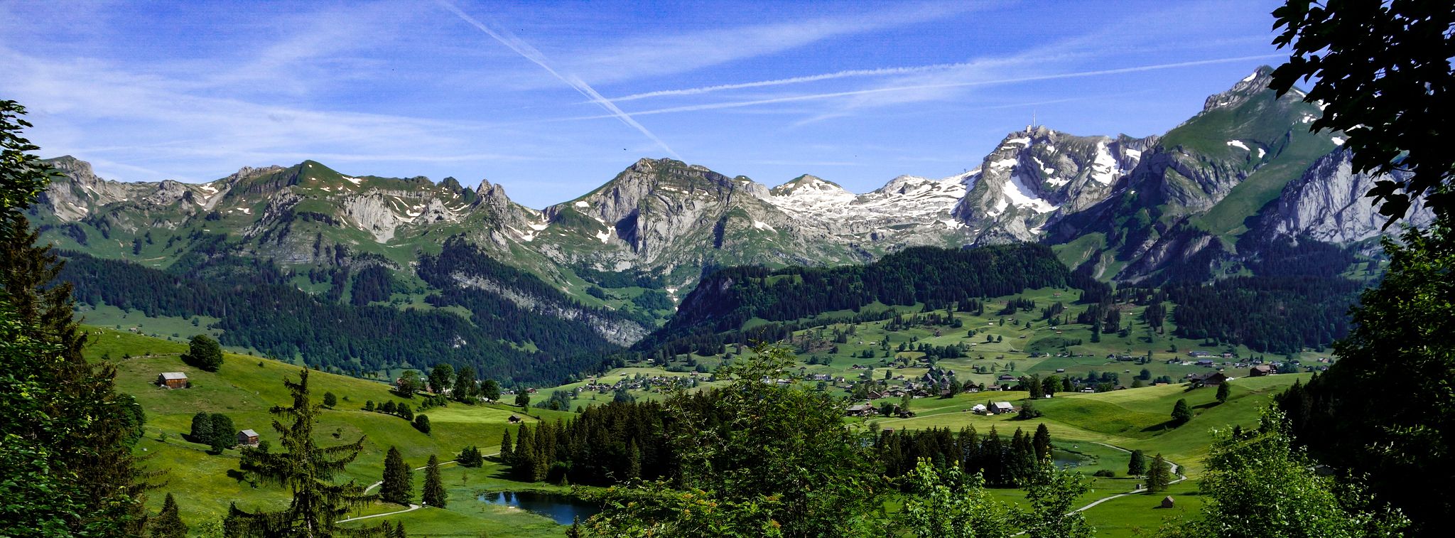
Toggenburger Höhenweg – Demanding hiking near St. Gallen

Lake and Alps Adventure – explore 100 dreamy places in our cycling region!
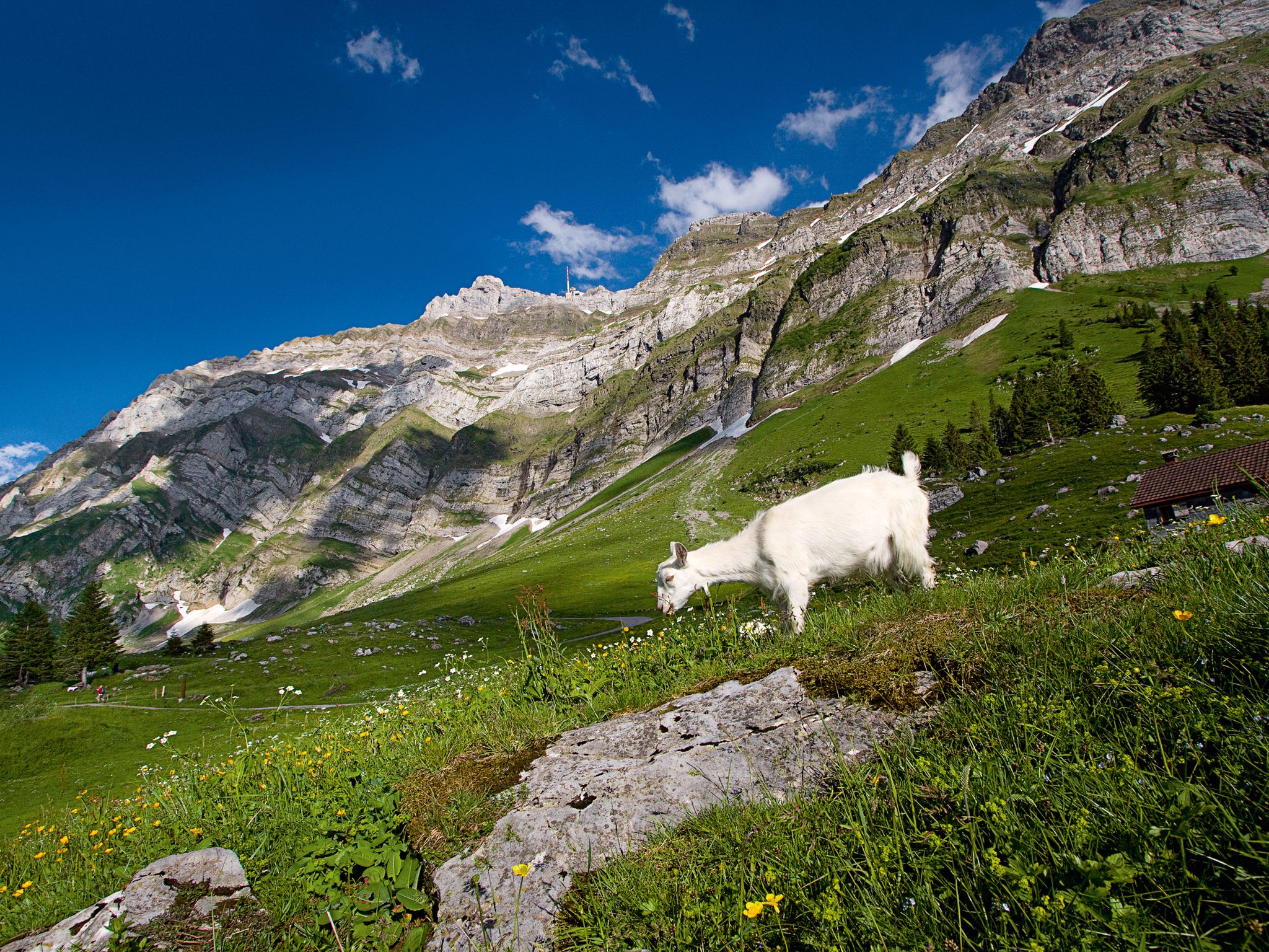
When the mountain awakens – spring hikes around the Schwägalp
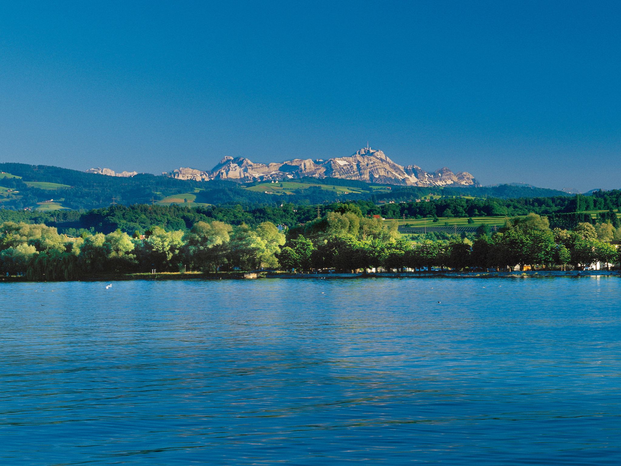
Lake and Alps Route – Cycling between Lake Constance and the Appenzell Alps
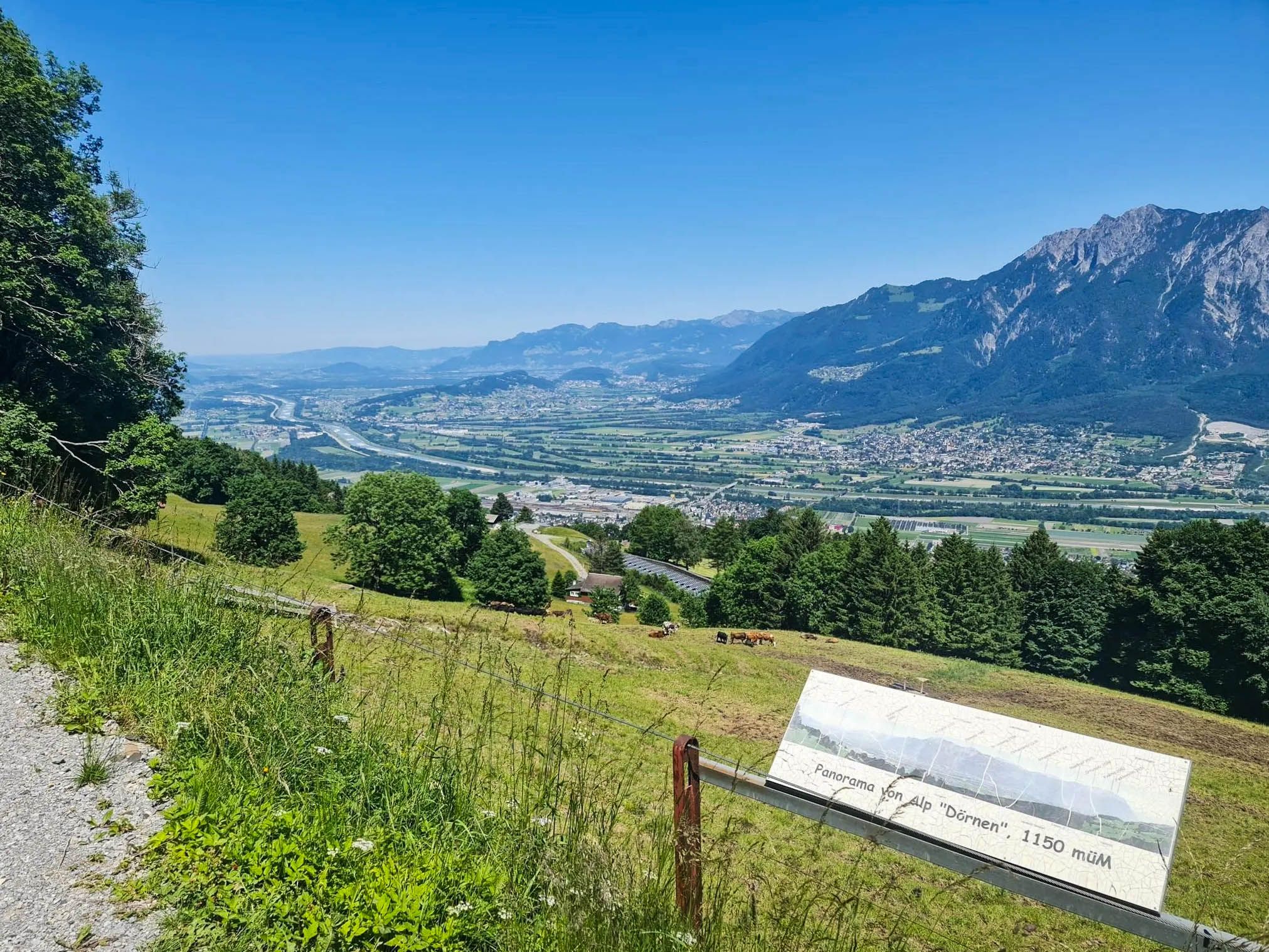
Castles, wine and three-country views – Rhine Valley High Trail
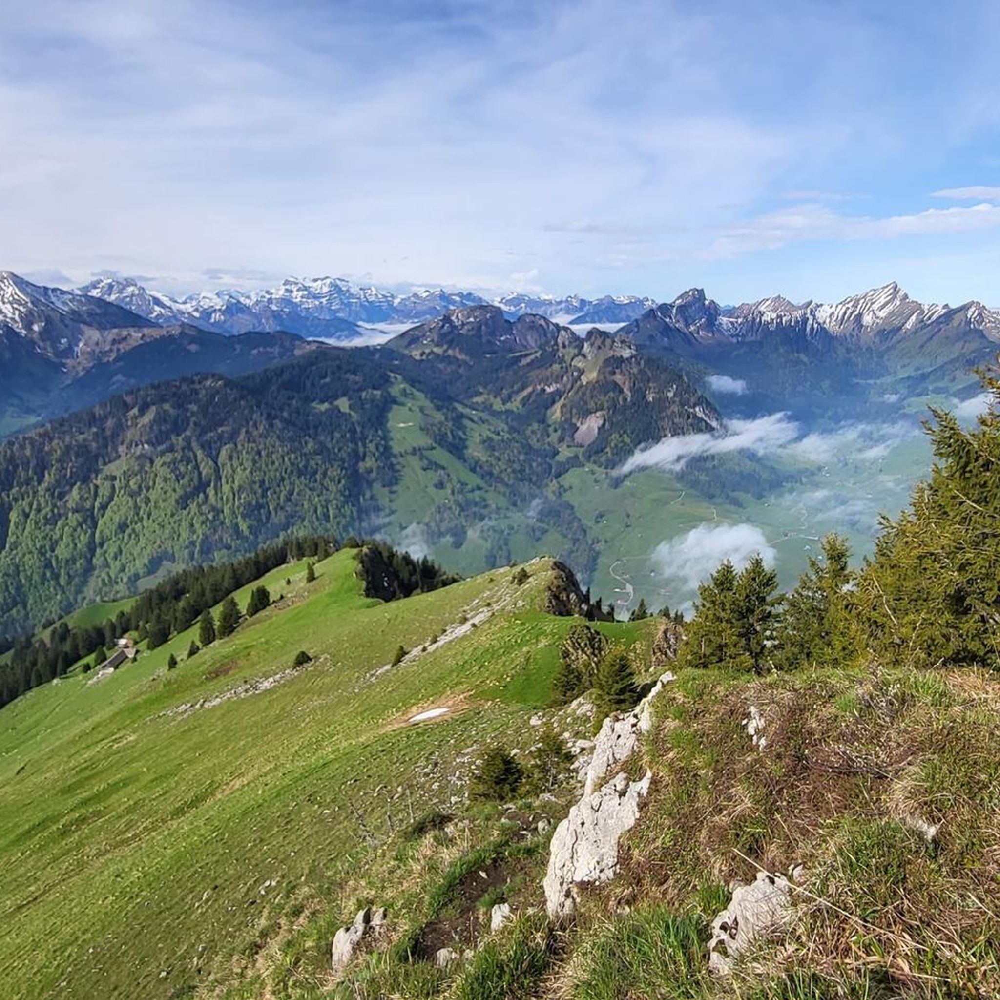
Hiking around Wildhaus-Alt St. Johann
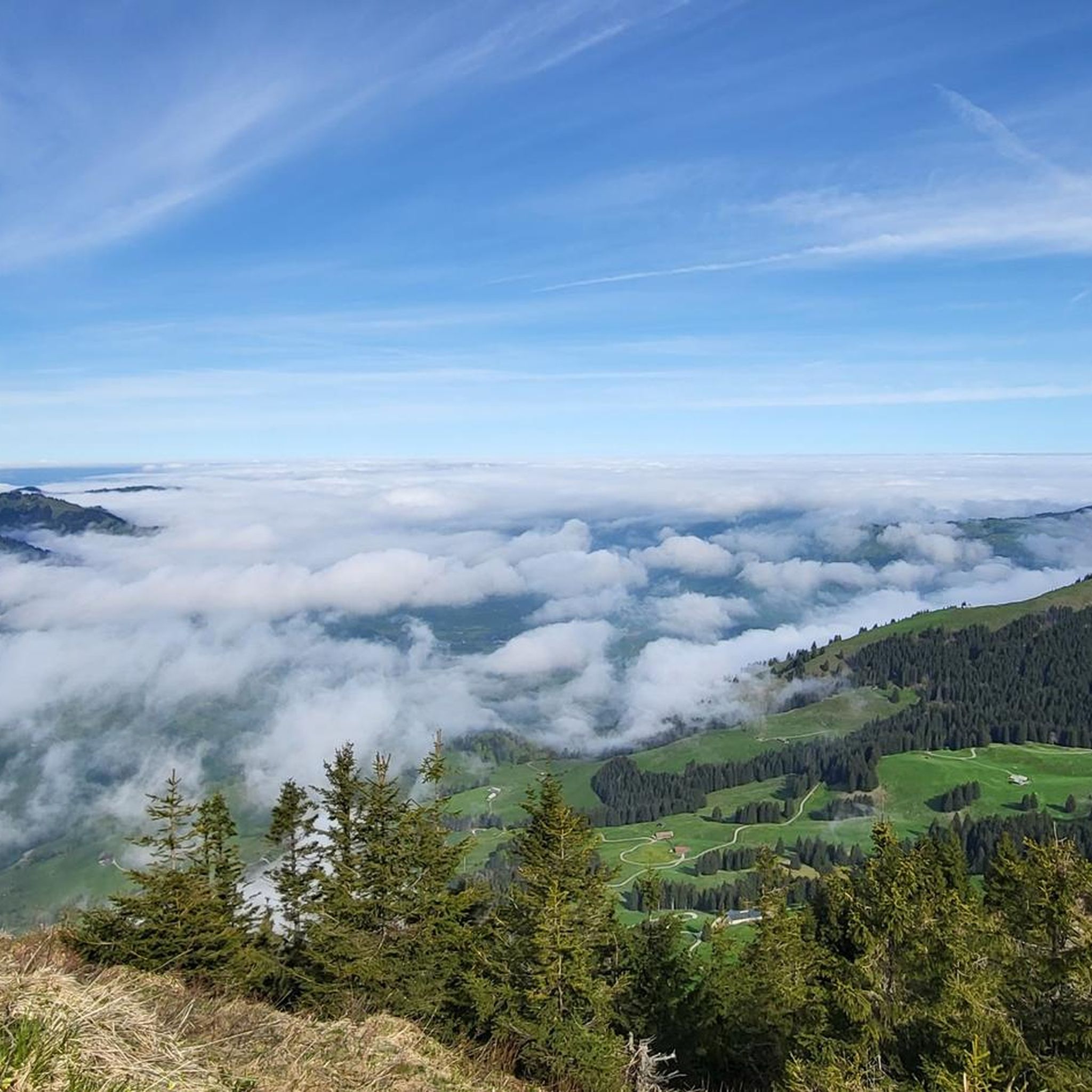
MTB Trails around Wildhaus-Alt St. Johann
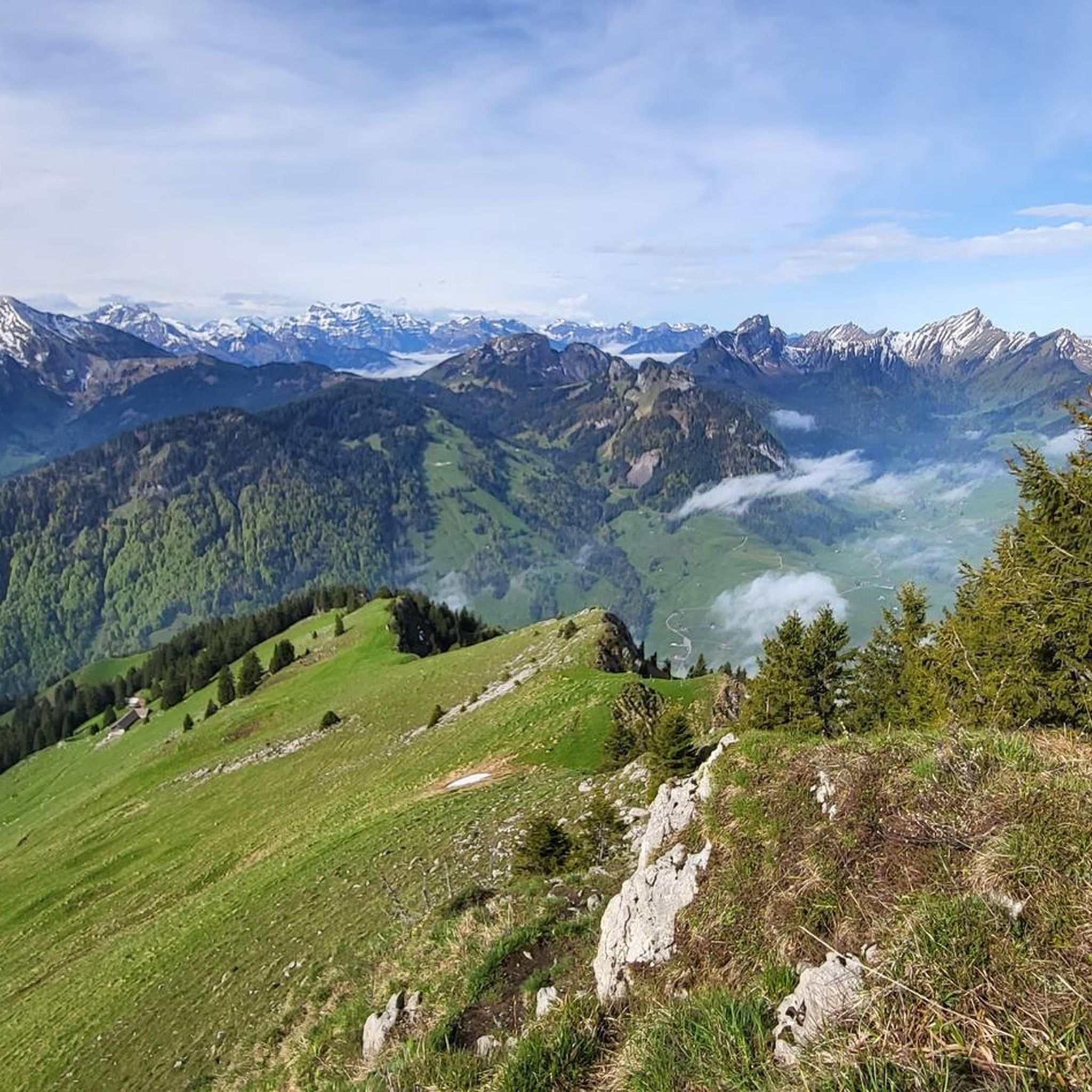
Cycling around Wildhaus-Alt St. Johann
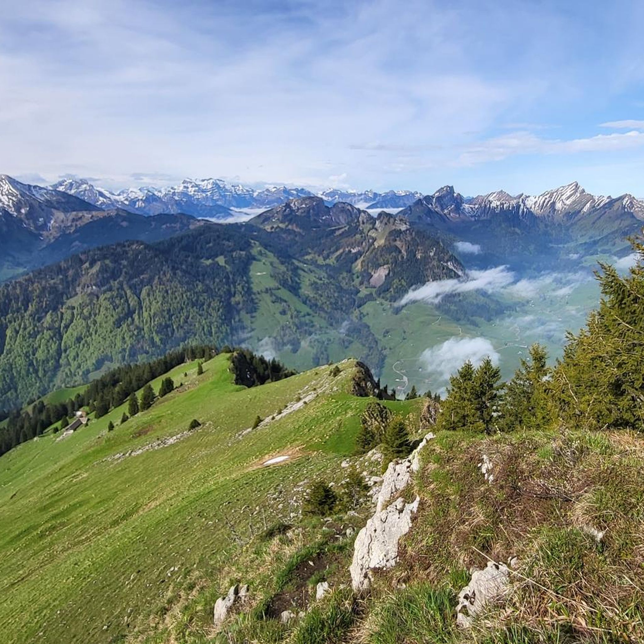
Road Cycling Routes around Wildhaus-Alt St. Johann
Running Trails around Wildhaus-Alt St. Johann
Other adventures around Wildhaus-Alt St. Johann


Tips from the Community

Quite steep gorge. Sure-footedness and endurance required. And actually nothing for the bike.
0
0

The Altmann (2,435 m) is one of the most striking peaks in the Alpstein, with a fantastic panorama extending all the way to Lake Constance, weather permitting. I found the final climb to the summit (approx. 30 minutes one way) technically challenging, steep, and exposed (UIAA II). Before the summit cross, I found a key section: a ridge section about 5 m long and only about 30 cm wide, with a vertical drop of about 30 m on both sides. Absolute surefootedness and a head for heights are required here. The Altmann remains a fascinating memory for me, but without a repeat. Further down, at the signposts to the Zwinglipass Hut, several groups split up for an hour, during which some attempted the summit climb, while others followed the ascent from a distance.
2
0

There are almost no safety devices, and the path is unmarked, so everyone climbs independently. Shortly before the summit, a very narrow ridge must be crossed.
0
0

Iltios Mountain Restaurant A stopover on the way to the summit, an ice cream break on the Klangweg trail, or the starting point of a hike – all roads lead to Iltios. The Iltios plateau has been a popular destination in the Churfirsten region since the 1930s. As a hub for trails and slopes, it plays an important role and is easily accessible for people with limited mobility. The restaurant also houses the playground and the ski school meeting point with its children's area. Text / Source: Toggenburg Bergbahnen, CH-9657 Unterwasser https://www.chaeserrugg.ch/de/geniessen/restaurants/bergrestaurant-iltios
15
0

Very beautiful mountain with a great view 🥰
1
0

Way-box, if you have some coins, you can make a small contribution.
8
0
Alp Tesel, very cozy. In summer, self-service at the fountain.
8
0
Girenspitz the new little Matterhorn in the Alpstein 😅
8
0
Frequently Asked Questions
How many mountaineering routes are available in Wildhaus-Alt St. Johann?
There are over 20 mountaineering routes around Wildhaus-Alt St. Johann, offering a diverse range of experiences. The komoot community has explored these trails more than 300 times, highlighting the region's popularity among mountaineers.
What is the typical difficulty level of mountaineering routes in this region?
The majority of mountaineering routes in Wildhaus-Alt St. Johann are considered difficult, with 18 out of 23 routes falling into this category. There are also 4 moderate routes and 1 easy route available, catering to various skill levels. Routes often involve challenging ridge climbs and traverse karst areas.
What kind of terrain can I expect on mountaineering routes around Wildhaus-Alt St. Johann?
You can expect a diverse and impressive natural landscape. The region is framed by the imposing Säntis massif and the dramatic seven Churfirsten peaks, which are composed of limestone and marl. Routes range from challenging ridge climbs on grippy rock to scenic circular paths, often traversing karst areas.
When is the best time of year for mountaineering in Wildhaus-Alt St. Johann?
The best time for mountaineering in Wildhaus-Alt St. Johann is typically during the warmer months, from late spring to early autumn, when trails are clear of snow and weather conditions are more stable. Always check local weather forecasts and trail conditions before heading out, especially for higher-altitude routes.
Are there any notable natural features or landmarks to see along the mountaineering routes?
Yes, the region offers breathtaking panoramic views of the Alpstein Mountains, Appenzellerland, Lake Lucerne, and Lake Constance. You'll encounter majestic mountain ranges like the Säntis massif and Churfirsten peaks. Additionally, you might come across features like Walensee and the Thur Waterfalls. For specific waterfalls, consider visiting Thur Waterfalls or Seerenbach Falls.
Can I find any huts or mountain inns along the mountaineering trails for a break or overnight stay?
Yes, the region has several mountain inns and huts that can serve as excellent resting points or overnight accommodations. Notable options include the Aescher-Wildkirchli Mountain Inn, Meglisalp Mountain Inn, and Staubern Mountain Inn.
Are there any circular mountaineering routes in Wildhaus-Alt St. Johann?
Yes, many routes in the region are designed as loops, offering varied scenery without retracing your steps. Examples include the challenging Jöchliturm – Altmann Summit loop from Wildhaus, the scenic Flüretobel Gorge – Zwinglipass Hut loop from Wildhaus, and the East Face Gully on Schafberg – Schafberg (Wildhaus) loop from Wildhaus.
Is it possible to access mountaineering routes using public transport in Wildhaus-Alt St. Johann?
The area is well-equipped with cable cars and lifts, such as the Säntis cable car, gondola lifts to Gamplüt and Sellamatt, and a funicular and aerial tram to Chäserrugg. These provide convenient access to higher-altitude starting points for many routes. For detailed public transport information, it's best to consult local transport schedules.
Are there any family-friendly mountaineering options in Wildhaus-Alt St. Johann?
While many mountaineering routes are challenging, the region is recognized as a "Families Welcome" vacation area. This suggests that while technical mountaineering might be too demanding for young children, there are likely more accessible scenic paths and hiking trails suitable for families. Always check the specific route's difficulty and duration before setting out with children.
What do other mountaineers enjoy the most about mountaineering in Wildhaus-Alt St. Johann?
The area is highly rated by the komoot community, with an average score of 4.9 stars from more than 30 reviews. Mountaineers often praise the diverse terrain, from challenging ridge climbs to scenic circular paths, and the breathtaking panoramic views of the Alpstein Mountains and surrounding lakes.
Are there any moderate mountaineering routes for those looking for a less strenuous challenge?
Yes, while many routes are difficult, there are 4 moderate mountaineering routes available. An example is the Gamschopf loop from Laui-Alpli, which offers a rewarding experience without the extreme demands of the most difficult trails.
Where can I find more information about the Wildhaus-Alt St. Johann region?
For broader information about the Wildhaus-Alt St. Johann region, including general tourism and activities, you can visit the official MySwitzerland page: myswitzerland.com/en/destinations/wildhaus/.
Most popular routes around Wildhaus-Alt St. Johann
Most popular attractions around Wildhaus-Alt St. Johann

Get inspired with the komoot mobile app


Explore more
Browse the best Mountain Hikes & Routes in other regions.
