The best running trails around Coltines
4.3
(26)
964
runners
154
runs
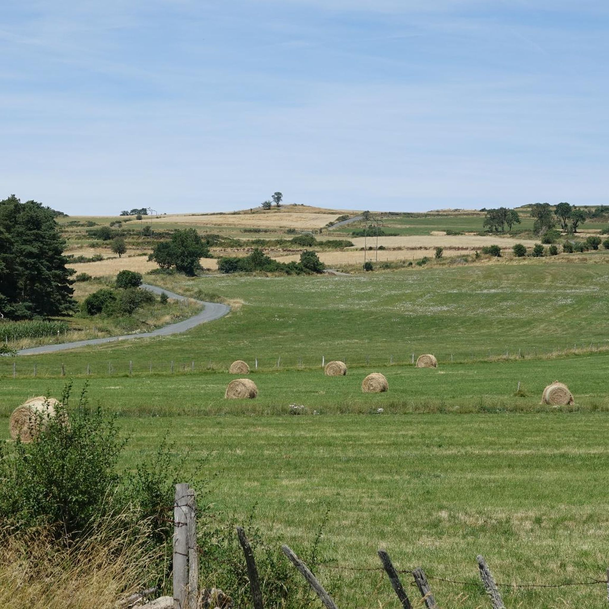
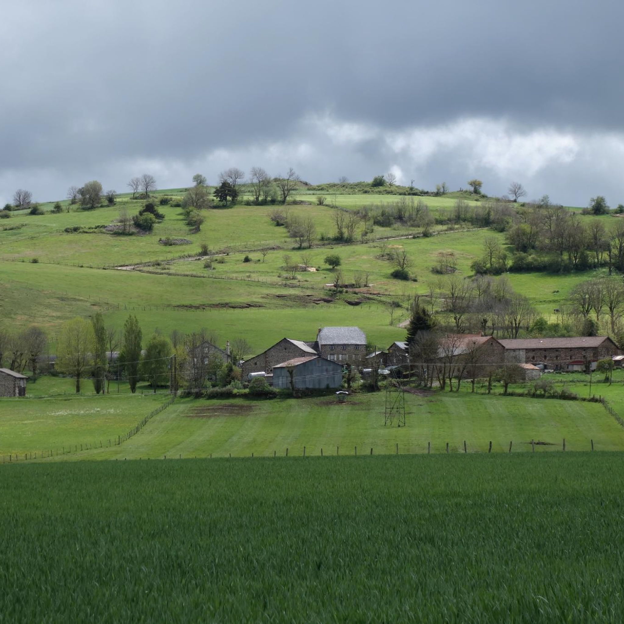
Jogging around Coltines offers diverse landscapes across the Planèze de Saint-Flour, a basaltic plateau averaging 1000 meters in altitude. This region, situated in France's Cantal department, features a mix of flat and gently rolling terrain, providing varied running experiences. The backdrop of the Monts du Cantal and the Auvergne's volcanic massifs ensures undulating paths and scenic beauty. Runners can explore routes that incorporate natural elements such as the Babory Waterfall and Lake Sailhant.
Best jogging routes around Coltines
- The most popular jogging route is Running loop from Mons, a 3.0 miles (4.8 km) trail that takes about 30 minutes to complete. This easy route offers a gentle introduction to the local terrain.
- Another top favourite among local runners is Running loop from Virargues, a moderate 4.5 miles (7.2 km) path. This route features varied terrain suitable for a more extended run through the countryside.
- Local runners also love the Running loop from Ussel, a 6.5 miles (10.5 km) trail leading through the undulating landscapes of the Planèze, often completed in about 1 hour 5 minutes.
- Jogging around Coltines is defined by its basaltic plateau, volcanic massifs, and rolling hills, with routes often passing by natural features like waterfalls and lakes. The network offers options for different ability levels, from easy loops to more challenging runs with elevation changes.
- The routes in Coltines are highly rated by the komoot community with an average score of 4.3 stars from more than 20 reviews. More than 700 runners have used komoot to explore Coltines's varied terrain.
Last updated: August 9, 2026
15
runners
4.77km
00:29
10m
10m
Easy run. Great for any fitness level. Mostly paved surfaces. Suitable for all skill levels.
5
runners
6.04km
00:38
40m
40m
Moderate run. Good fitness required. Mostly paved surfaces. Suitable for all skill levels.

Sign up for free
5
runners
15.1km
01:45
300m
300m
Hard run. Very good fitness required. Mostly paved surfaces. Suitable for all skill levels.
4
runners
18.7km
02:13
430m
430m
Hard run. Very good fitness required. Sure-footedness, sturdy shoes and alpine experience required.
3
runners
8.56km
00:57
90m
90m
Moderate run. Good fitness required. Mostly paved surfaces. Suitable for all skill levels.
Get access to more routes and recommendations from other explorers.
Sign up for free
Already have an account?
Our route recommendations are based on thousands of hikes, rides, and runs completed by other people on komoot.
Start today with a free account
Your next adventure awaits.
Login or Signup
Tips from the Community

Nice view on the descent to Neussargues
0
0
Frequently Asked Questions
How many running routes are available around Coltines?
There are over 130 jogging routes available around Coltines, catering to various fitness levels. You'll find a wide selection, from easy loops to more challenging runs with significant elevation changes across the diverse landscapes of the Planèze de Saint-Flour.
What kind of terrain can I expect on jogging routes near Coltines?
Jogging routes near Coltines primarily traverse the Planèze de Saint-Flour, a basaltic plateau averaging 1000 meters in altitude. This means you can expect a mix of flat and gently rolling terrain. The backdrop of the Monts du Cantal and the Auvergne's volcanic massifs also ensures undulating paths and scenic beauty, offering both physical challenges and inspiring views.
Are there any easy running routes suitable for beginners or a relaxed jog?
Yes, Coltines offers several easy running routes. For a gentle introduction to the local terrain, consider the Running loop from Mons, which is about 4.8 km long and takes approximately 30 minutes to complete. There are 5 easy routes in total, perfect for beginners or those seeking a less strenuous run.
Can I find running routes that feature natural attractions like waterfalls or lakes?
Absolutely! The region around Coltines is known for its natural beauty. You can explore routes that incorporate stunning natural elements such as the Babory Waterfall and the serene Lake Sailhant. Several loops are adaptable for jogging, allowing you to enjoy these picturesque features during your run.
What historical or cultural sights can I see while jogging in the area?
Beyond natural splendor, Coltines and its surroundings boast historical and cultural attractions. You might pass by the magnificent Sailhant Castle, perched on a rocky promontory. The nearby town of Murat, surrounded by volcanic mountains, also offers interesting sights. Additionally, ancient funerary monuments like the Dolmens of Touls and Bardon provide a glimpse into the region's distant past.
Are there any challenging routes for advanced trail runners?
Yes, for those seeking a more advanced trail running experience, Coltines offers 30 difficult routes. These often feature greater distances and more significant elevation changes, providing a physical challenge amidst the region's mountainous environment. An example of a longer route is the Murat (Cantal) – Murat loop from Celles, which is over 17 km long with substantial elevation gain.
What do other runners enjoy most about jogging in Coltines?
The running routes in Coltines are highly rated by the komoot community, with an average score of 4.3 stars from more than 20 reviews. Runners often praise the varied terrain, the scenic beauty of the basaltic plateau and volcanic massifs, and the opportunity to combine physical activity with exploring natural and historical landmarks like waterfalls and castles.
Are there any circular running routes available?
Yes, many of the jogging routes around Coltines are designed as circular loops, making them convenient for starting and ending your run at the same point. Examples include the Running loop from Virargues and the Running loop from Ussel, which offer varied terrain and scenic views.
What is the best time of year for running in Coltines?
The Auvergne region, where Coltines is situated, offers an inspiring setting for running throughout much of the year. Spring and autumn generally provide pleasant temperatures and vibrant landscapes. While the basaltic plateau can be exposed, the rolling, verdant hills are beautiful in warmer months. Always check local weather conditions before heading out.
Can I find running routes that are accessible by public transport or have parking nearby?
While specific public transport access points for individual routes may vary, many routes around Coltines are designed to be accessible, often starting from villages or areas where parking is available. It's advisable to check the details of your chosen route on komoot for specific parking information or public transport links to the starting point.
Are there any longer distance running trails for endurance training?
Yes, Coltines offers routes suitable for longer distance running. For example, the Running loop from Ussel is 10.5 km long, leading through undulating landscapes. For even greater distances and challenges, consider some of the 30 difficult routes available, which can extend up to 17 km or more, providing ample opportunity for endurance training.
Most popular attractions around Coltines

Get inspired with the komoot mobile app


Explore more
Browse the best Running Trails & Routes in other regions.
