The best cycling routes around Coltines
4.7
(60)
815
riders
136
rides
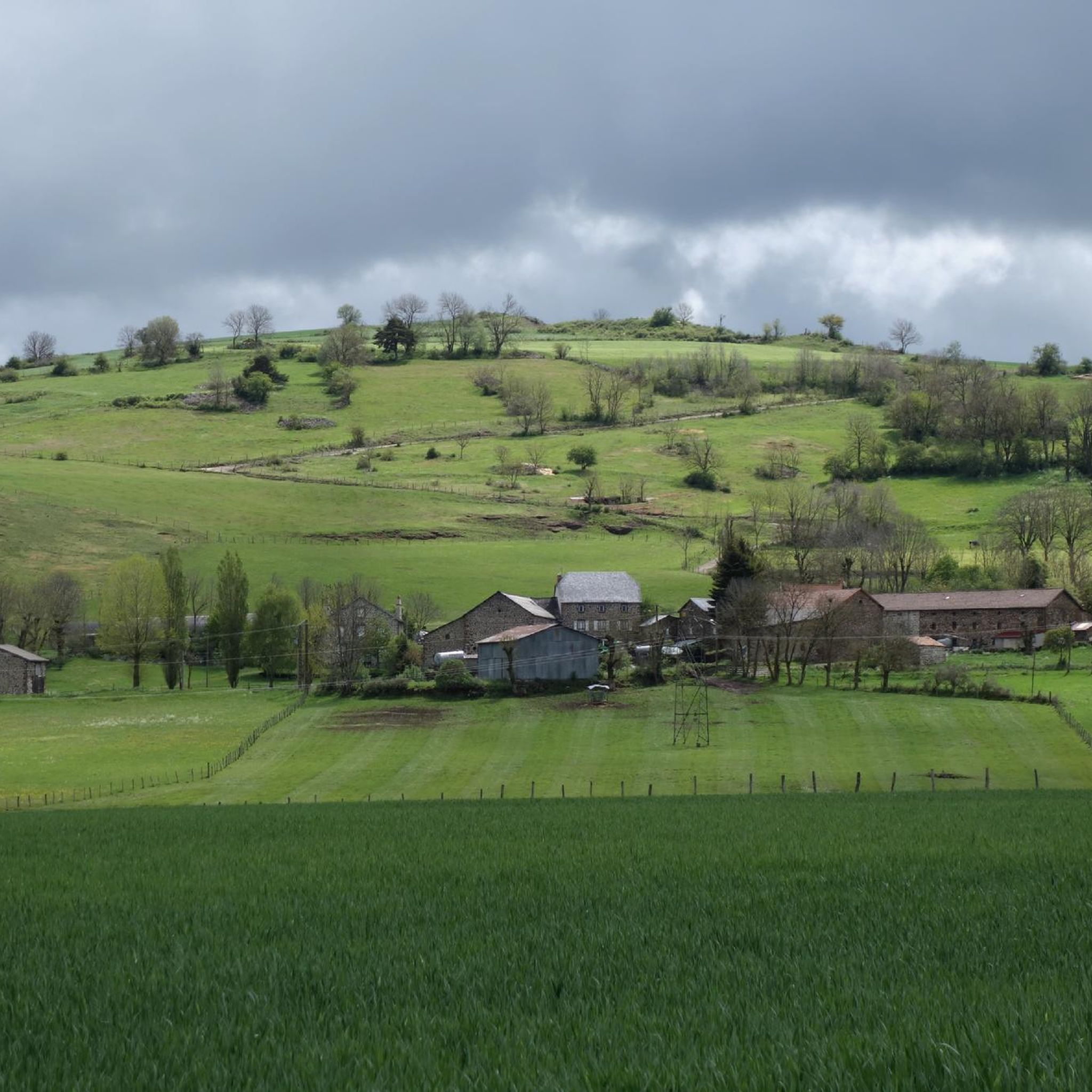
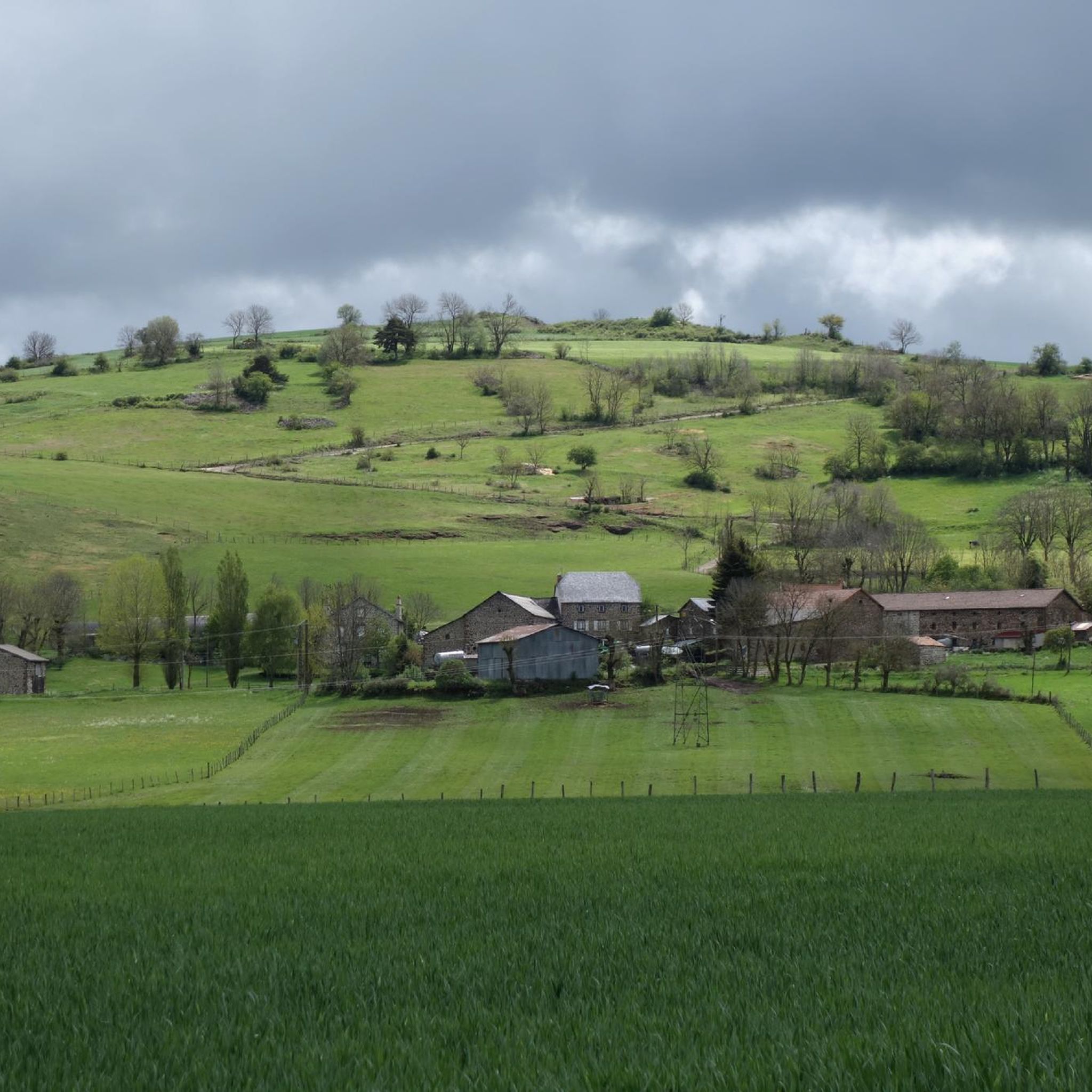
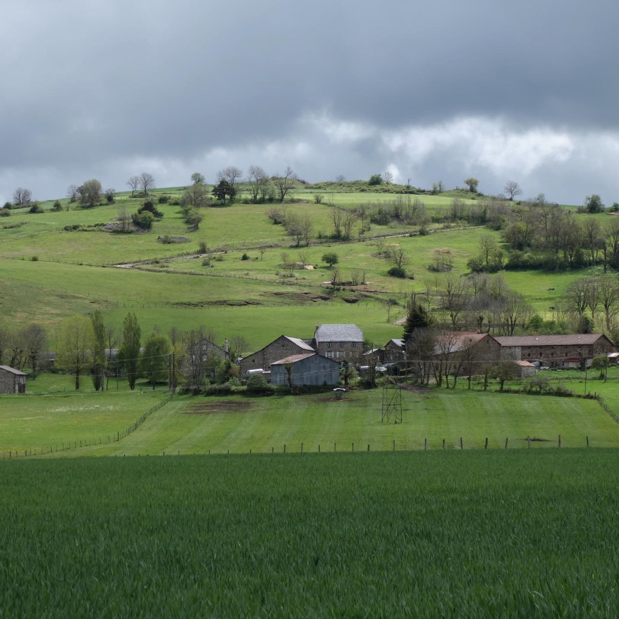
Touring cycling routes around Coltines traverse the Planèze de Saint-Flour, a basaltic plateau situated in the Cantal department of the Auvergne-Rhône-Alpes region. This area features a landscape shaped by ancient volcanic activity, with an average altitude of 1000 meters and views towards the Monts du Cantal. The terrain offers a mix of smooth paths across the plateau and more challenging ascents towards volcanic peaks. The region's geological history provides varied cycling conditions, from open stretches to routes near significant natural…
Last updated: May 18, 2026
4.0
(1)
4
riders
55.2km
03:51
1,030m
1,030m
Hard bike ride. Very good fitness required. Mostly paved surfaces. Suitable for all skill levels.
5.0
(1)
21
riders
92.6km
06:26
1,670m
1,670m
Hard bike ride. Very good fitness required. Mostly paved surfaces. Suitable for all skill levels.

Sign up for free
20
riders
75.2km
05:34
1,200m
1,200m
Hard bike ride. Very good fitness required. You may need to push your bike for some segments of this route.
4.5
(2)
9
riders
38.5km
02:36
420m
420m
Moderate bike ride. Good fitness required. Mostly paved surfaces. Suitable for all skill levels.
4
riders
51.0km
03:16
620m
620m
Hard bike ride. Very good fitness required. Mostly paved surfaces. Suitable for all skill levels.
Get access to more routes and recommendations from other explorers.
Sign up for free
Already have an account?
Our route recommendations are based on thousands of hikes, rides, and runs completed by other people on komoot.
Start today with a free account
Your next adventure awaits.
Login or Signup
Tips from the Community


By bike you can see this castle from different angles. It is worth the detour.
2
0


Superb view of the Garabit viaduct, allowing you to cross the Truyère gorges. This metal structure, created by Gustave Eiffel, is 565 meters long and rises to 122 meters above the water. It was at one time the “highest viaduct in the world”!
0
0

Impressive viaduct designed by Eiffel. Go as close as possible for snaps.
0
0

Frequently Asked Questions
How many touring cycling routes are available around Coltines?
There are nearly 140 touring cycling routes around Coltines, offering a wide range of options for exploring the region's unique volcanic landscapes and cultural heritage.
What is the general difficulty level of touring cycling routes in Coltines?
The routes around Coltines cater to various skill levels. While the majority, 91 routes, are classified as difficult due to the volcanic terrain and significant elevation changes, there are also 42 moderate routes and 5 easy routes available for a more relaxed experience.
Are there family-friendly or easy touring cycling routes near Coltines?
Yes, there are 5 easy touring cycling routes around Coltines, perfect for families or those seeking a less strenuous ride. These routes often traverse the smoother paths of the Planèze de Saint-Flour plateau, offering gentle gradients and scenic views without the challenge of steep ascents.
What natural landmarks or viewpoints can I see while touring cycling near Coltines?
The region offers stunning natural sights. You can expect panoramic views of the Monts du Cantal and the vast basaltic plateau. Notable natural features in the wider area include the majestic Plomb du Cantal and Puy Griou volcanic peaks, the picturesque Cascade de Liadouze, and Lac Pavin. Some routes, like the RBX Cantal Volcano Loop, specifically highlight the volcanic landscapes.
What historical or cultural attractions can I explore along the touring cycling routes?
Coltines and its surroundings are rich in history. You can visit the fortified Sailhant Castle, which is featured on routes like the Garabit Viaduct – Sailhant Castle loop from Neussargues. The historic town of Saint-Flour, the capital of Haute-Auvergne, is also accessible. The village of Coltines itself preserves traditional heritage like roadside crosses and bread ovens. The nearby town of Murat, encircled by small volcanic mountains, also offers craft shops and a wildlife center.
Are there circular touring cycling routes available around Coltines?
Yes, many of the touring cycling routes around Coltines are designed as loops, allowing you to start and finish in the same location. Examples include the RBX Cantal Volcano Loop and the Sailhant Castle – Saint-Flour loop from Talizat, providing convenient options for exploration.
What do other touring cyclists say about the routes in Coltines?
The touring cycling routes in Coltines are highly regarded by the komoot community, with an average rating of 4.7 out of 5 stars from over 60 reviews. More than 800 touring cyclists have used komoot to explore the varied terrain, often praising the unique volcanic landscapes and the mix of challenging and scenic paths.
Is it possible to combine touring cycling with exploring the Grande Traversée du Massif Central (GTMC) route near Coltines?
Yes, Coltines is situated in a region that is part of the Grande Traversée du Massif Central (GTMC) mountain bike route. An alternative stage of this route, covering 61.09 km from Chalinargues to Coltines via Le Lioran, highlights the region's cycling potential. You can find more details on this specific stage at France Vélo Tourisme.
Are there any routes that pass by the Garabit Viaduct?
Yes, the impressive Garabit Viaduct – Sailhant Castle loop from Neussargues is a difficult 92.7 km route that features this historical structure, offering a blend of engineering marvels and natural beauty.
What kind of terrain can I expect on the touring cycling routes around Coltines?
The terrain around Coltines is diverse, primarily shaped by ancient volcanic activity. You'll encounter the vast basaltic plateau of Planèze de Saint-Flour, offering relatively smooth paths, but also more challenging ascents towards volcanic peaks and rolling hills. Routes can vary from open stretches to those winding through forested areas.
Can I find routes that lead to nearby towns like Murat?
Absolutely. Several routes connect to nearby towns. For instance, the Murat (Cantal) – Murat loop from Neussargues is a 39.8 km route that takes you to the charming town of Murat, known for its craft shops and volcanic surroundings.
Are there longer touring cycling routes for experienced cyclists?
Yes, experienced touring cyclists will find plenty of challenging, longer routes. Many of the 91 difficult routes exceed 50 km, such as the Garabit Viaduct – Sailhant Castle loop from Neussargues, which spans over 92 km with significant elevation gain, providing a demanding and rewarding experience.
Most popular attractions around Coltines

Get inspired with the komoot mobile app


Explore more
Browse the best Cycling routes in other regions.
