The best running trails around Oberhofen am Thunersee
4.5
(219)
9,421
runners
18
runs
Jogging routes around Oberhofen am Thunersee offer diverse terrain along the shores of Lake Thun and into the surrounding hills. The region is characterized by its expansive lake, providing flat and accessible lakeside paths, and the backdrop of the Bernese Alps. Trails often wind through forests and past historic landmarks, with varied elevation profiles. This area combines water views with elevated perspectives over the lake and mountains.
Best jogging routes around Oberhofen am Thunersee
- The most popular jogging route is…
Last updated: October 28, 2026
4.0
(6)
96
runners
16.1km
01:42
150m
150m
Hard run. Very good fitness required. Mostly paved surfaces.
69
runners
16.5km
01:49
210m
210m
Hard run. Very good fitness required. Mostly paved surfaces.

4.0
(1)
67
runners
50.7km
05:34
650m
650m
Hard run. Very good fitness required. Mostly paved surfaces.
5.0
(1)
42
runners
8.29km
00:53
100m
100m
Moderate run. Good fitness required. Mostly paved surfaces.
5.0
(2)
20
runners
6.72km
00:53
240m
240m
Moderate run. Good fitness required. Mostly paved surfaces.
Get access to more routes and recommendations from other explorers.
Already have an account?
Our route recommendations are based on thousands of hikes, rides, and runs completed by other people on komoot.
Start today with a free account
Your next adventure awaits.
Popular around Oberhofen am Thunersee


Other adventures around Oberhofen am Thunersee

Tips from the Community

It's always worth making the effort to do some sport 😎
0
0

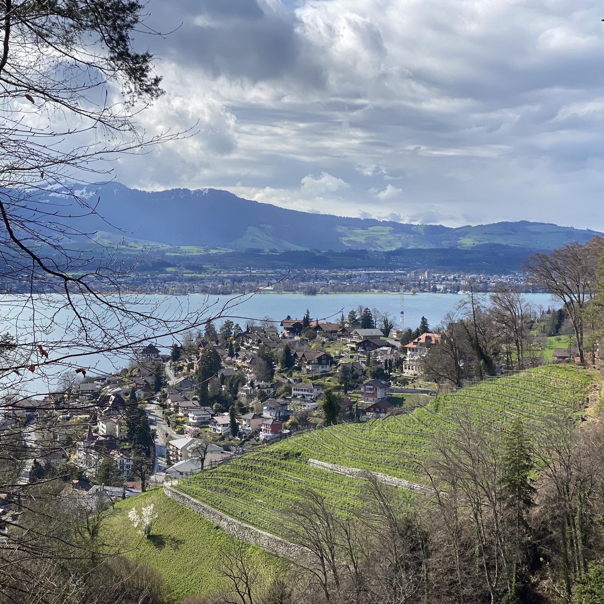
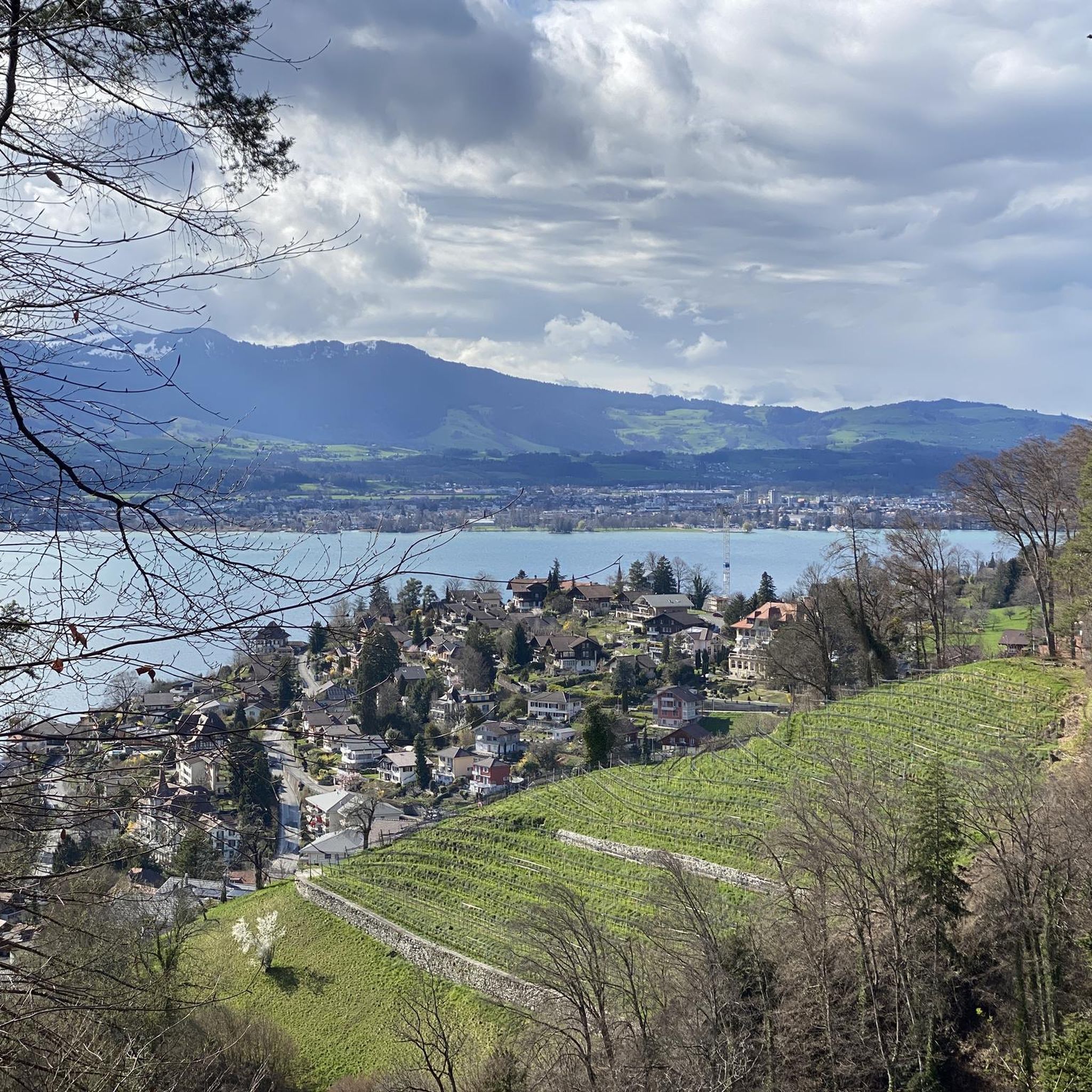
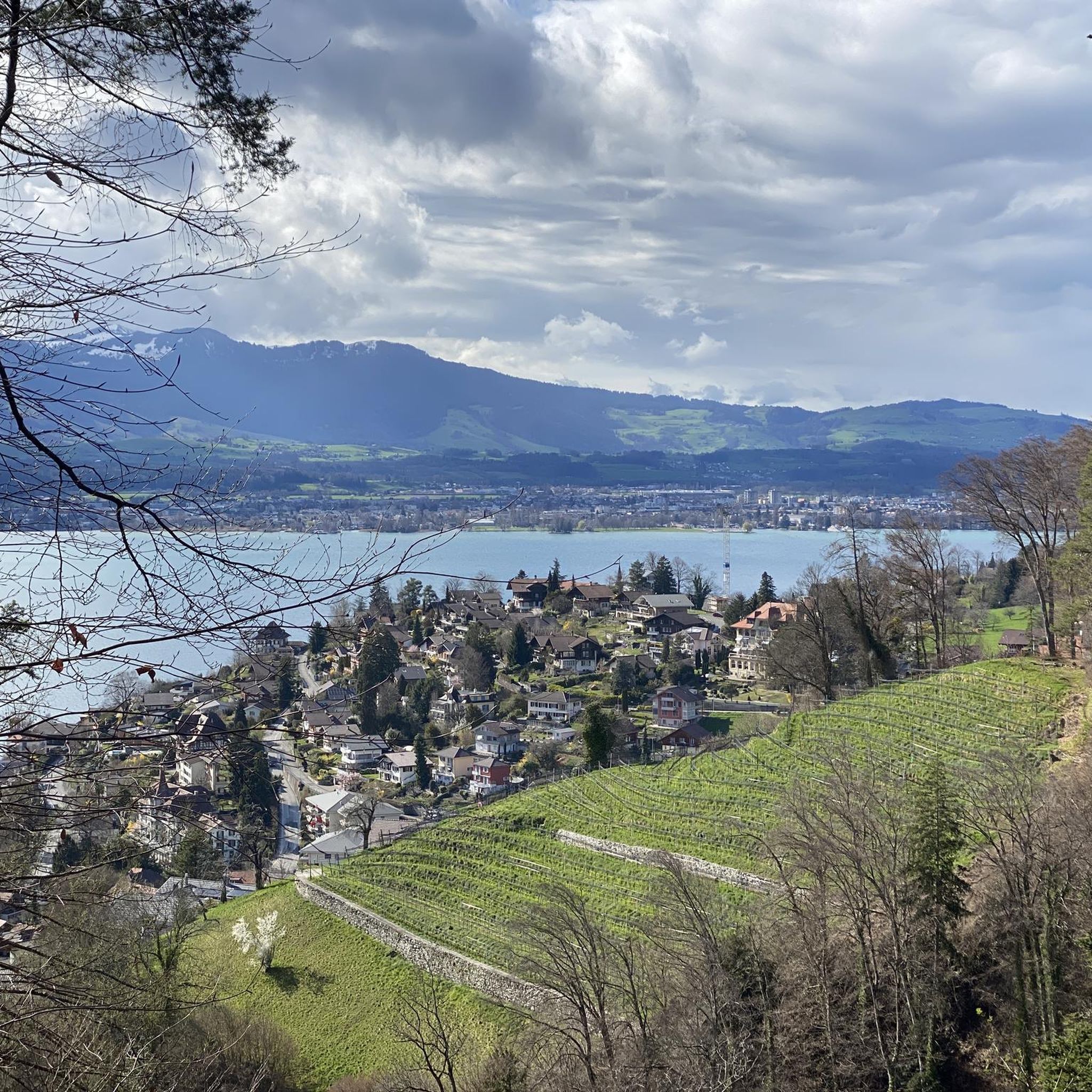
View over the complete Lake Thun, from Interlaken to Thun.
0
0

Great day on the Lakes Route with the day's end lake, Lake Thun
0
0

Wonderful with a playground, free swimming pool and snack bar.
0
0
Simple, all flat and very easy to walk on
0
0

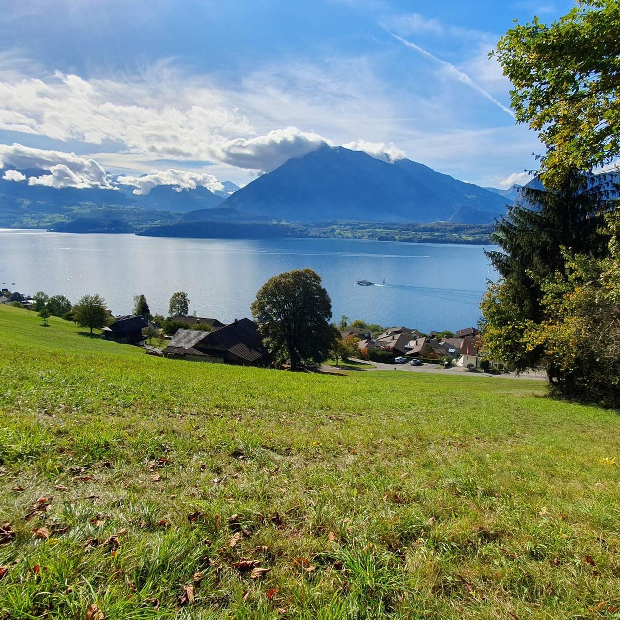
Beautiful park with a wonderful view of Lake Thun and the Bernese Alps
0
0

A walk from Thun's old town to where the Aare meets the Lake Thun rewrds you with fantastic views of the river, the lake and the peaks of the Bernese Oberland. From here you can also admire the impressive Schadau Castle.
1
0

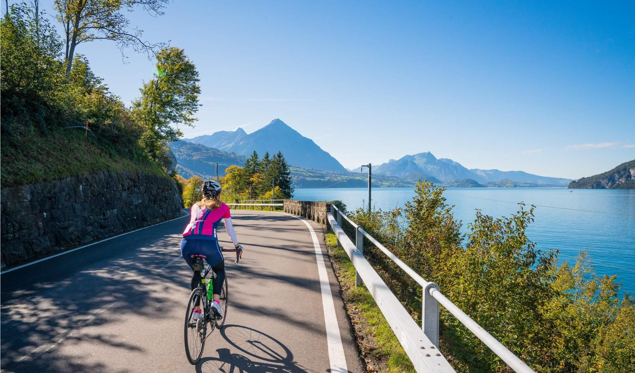
As you cycle along Dorfstrasse, you’ll be treated to breathtaking views of Lake Thun, with the Swiss Alps as a backdrop. As you ride, the deep blue waters of the lake sparkle below, framed by rolling green hills and Alpine peaks that seem to stretch on forever. This stretch offers a mix of gentle inclines and relaxed descents, allowing you to fully enjoy the beauty of the lake and surrounding landscape.
0
0
Frequently Asked Questions
How many running routes are available around Oberhofen am Thunersee?
There are currently 18 diverse running routes available around Oberhofen am Thunersee on komoot. These routes cater to various fitness levels, offering options from moderate lakeside paths to more challenging trails with elevation gain into the surrounding hills.
Are there any easy or beginner-friendly jogging routes in Oberhofen am Thunersee?
While many routes in the area are rated moderate to difficult due to varied terrain and elevation, the lakeside paths generally offer a flatter and more accessible experience. For a moderate option that provides beautiful views without extreme difficulty, consider the Oberhofen Castle – View of Lake Thun loop from Oberhofen, which is 4.97 miles (8.0 km) long.
What kind of scenic views can I expect on the running trails in Oberhofen am Thunersee?
Jogging routes in Oberhofen am Thunersee are renowned for their stunning scenery. You'll frequently enjoy expansive views of Lake Thun, framed by the majestic Bernese Alps. Many paths wind through forests and past historic landmarks like Oberhofen Castle. Elevated routes can offer panoramic vistas, such as those towards the Niederhorn Summit, enhancing your run with breathtaking backdrops.
Are there any circular running routes available?
Yes, many of the running routes around Oberhofen am Thunersee are designed as loops, allowing you to start and finish in the same location. An example is the Nussbaum loop from Oberhofen, a moderate 6.7 km (4.17 miles) route that offers a varied experience.
What do other runners enjoy most about the trails in Oberhofen am Thunersee?
The running routes in Oberhofen am Thunersee are highly rated by the komoot community, with an average score of 4.5 stars from over 160 reviews. Runners often praise the combination of serene lakeside paths, the dramatic backdrop of the Bernese Alps, and the opportunity to pass by historic sites like Oberhofen Castle. The varied terrain also offers something for every ability.
Are there any long-distance running options for experienced runners?
For experienced runners seeking a longer challenge, routes like the View of Spiez Bay – View of Spiez Bay and Spiez Castle loop from Hilterfingen offer a substantial distance of 49.07 miles (79.0 km) with significant elevation gain, providing a demanding and rewarding experience around Lake Thun.
Can I find running routes that pass by historical landmarks or attractions?
Absolutely. Many routes incorporate the region's rich history and natural beauty. For instance, the Oberhofen Castle – Parkhotel Gunten loop from Hilterfingen takes you directly past the iconic Oberhofen Castle, which is uniquely situated on the lake. You might also encounter other notable sites like Hünegg Castle or enjoy views towards the Strättligsteg footbridge over the Kander River on some routes.
What is the typical length and duration of running routes in this area?
The running routes around Oberhofen am Thunersee vary significantly in length and duration. You can find shorter loops like the Oberhofen Castle – View of Lake Thun loop from Oberhofen, which is about 8 km (5 miles) and takes around 50 minutes. For longer runs, routes such as the Mill Lock Bridge, Thun – Aare Bridge, Kaliforni loop from Oberhofen extend to about 16 km (10 miles) and can take over an hour and a half to complete.
Are there any running trails that extend towards Thun?
Yes, for runners looking to explore beyond Oberhofen, there are routes that connect towards Thun. The Mill Lock Bridge, Thun – Aare Bridge, Kaliforni loop from Oberhofen is a challenging 10-mile (16.1 km) path that extends towards Thun, offering continuous views of Lake Thun and the Aare River.
What are the best seasons for running in Oberhofen am Thunersee?
Oberhofen am Thunersee offers excellent running conditions throughout much of the year. Spring and autumn provide pleasant temperatures and vibrant scenery. Summer is ideal for lakeside runs, offering refreshing breezes, while winter can transform the landscape into a serene, picturesque setting, though some higher trails might require more caution due to snow or ice.
Are there any specific natural features or landmarks to look out for while running?
Beyond Lake Thun itself, you'll be running with the impressive Bernese Alps as a constant backdrop. Some trails might offer glimpses of the fascinating rockfall area of Balmflue, or lead to viewpoints with panoramic vistas. The nearby Cholerenschlucht Gorge and Justistal are also natural highlights in the broader region.
Most popular routes around Oberhofen am Thunersee
Most popular attractions around Oberhofen am Thunersee

Get inspired with the komoot mobile app


Explore more
Browse the best Running Trails & Routes in other regions.
